










Antique Maps
Single-sheet engraved maps, largely English county plates taken from atlases and sold framed or loose, many finished with hand colour, made for reference and for hanging on a wall.
What You're Looking At
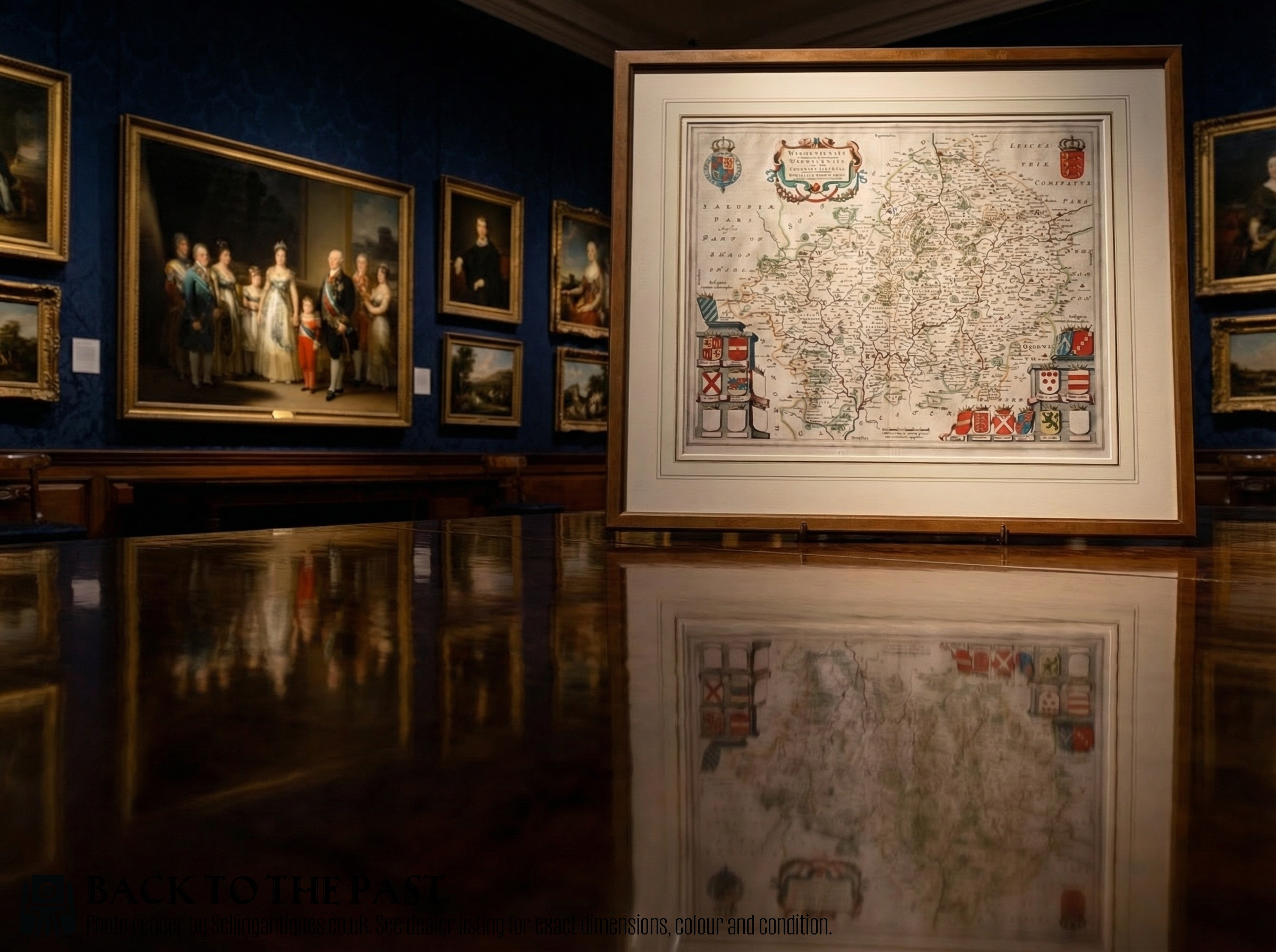
The bulk of what appears under this heading is a copper-engraved county map of England or Wales, printed from a plate and often coloured by brush afterwards. "County" appears in sixteen titles, England in twelve, Wales in eleven. Surrey turns up ten times and Yorkshire eight, so the archive leans on a handful of counties rather than spreading evenly across forty.
Printed county maps began circulating as bound atlas plates in the later 16th century and were reissued and re-engraved for well over two hundred years, sold both for reference and as furnishing prints. Copper-plate engraving finished with hand colour was the standard method until lithography took over in the 19th century. Eight titles name the atlas the sheet came from.
Framing is heavily represented: twenty-four titles say framed, and a run of them follow the format 'Antique [County] Map, English, Framed Cartography'. Loose sheets appear too, some double sided with book text on the reverse. The 17th century is the largest dated block at fifty listings, with another fourteen filed simply as before 1700.
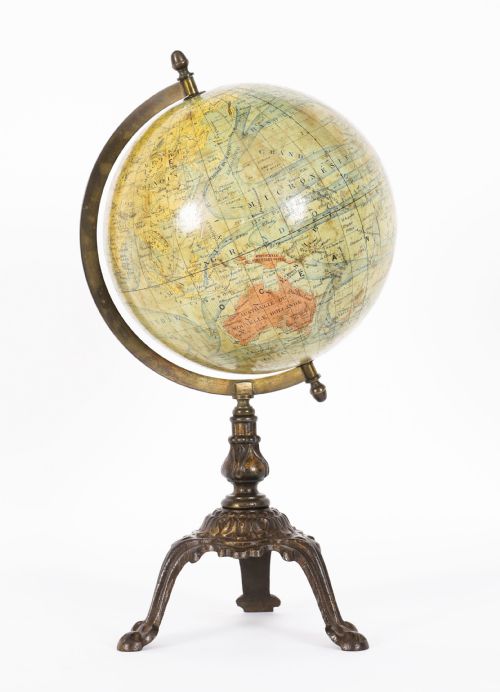
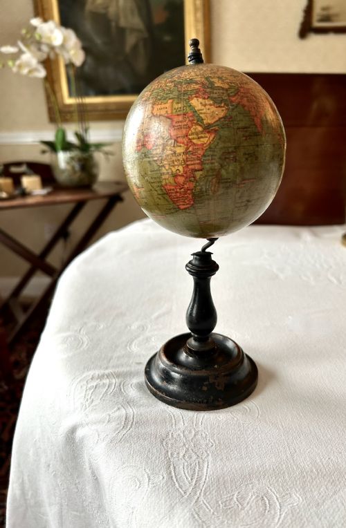
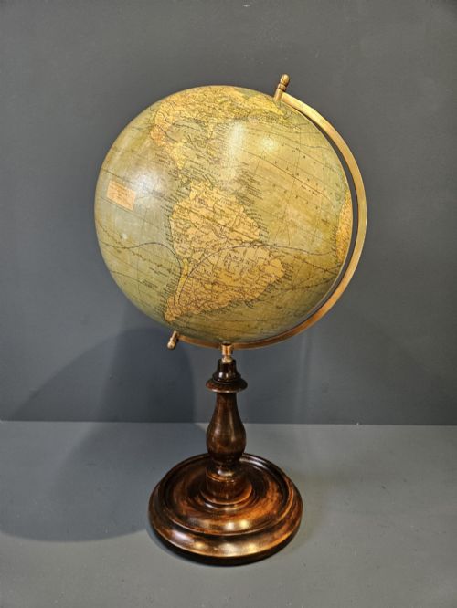
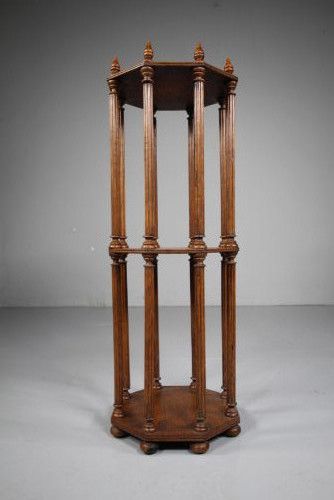
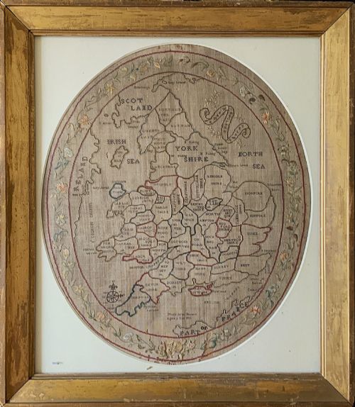
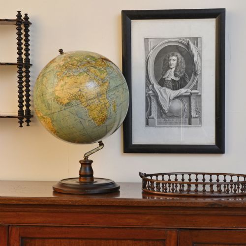
Around the maps sits a fringe of related material. Terrestrial and celestial globes account for seventeen titles, from a four-inch miniature on a stand to a floor-standing twelve-inch. Needlework map samplers make up fifteen. Road and motoring maps, town plans, folio stands, magnifiers and a pantograph fill out the tail, and 1930s globes sit in the same category as 17th-century plates.

What Moves The Range
A cartographer's name in the title does more than anything else. John Speed appears in twenty-two titles and Robert Morden in fourteen, between them about one title in six, and those names carry the upper reaches of the sampled range. Titles that begin simply 'Antique Map of' sit low.
Colour and presentation follow. Hand colouring is named in eighteen titles, and coloured examples cluster above plain ones of the same county. Framed pieces run through the middle and upper part of the range. Size counts as well: large appears in nine titles, and the biggest sheets, including a London triptych some eight and a half feet across, sit near the top.
Samplers work by their own rule. Ones worked with a year and the girl's name, dated in the 1780s and around 1811, sit above those catalogued only as a map sampler. Among the accessories, folio and scroll stands reach the highest figures recorded in the whole category.
Retail Price Guide 2026
Typical UK retail prices for maps, calculated from the Sellingantiques database of over a million retail prices indexed since 2003. This retail price guide relies exclusively on Sellingantiques data; no external sources or auction records are used, so the figures do not describe the wider market.
Antique maps have been listed on Sellingantiques since 2008.
Robert Morden·John Speed·John Cary
The Antique Maps Glossary
- Cartography
- The dealers' heading for map material, in twenty-five titles, most of them framed wall pieces.
- Hand coloured
- Colour brushed on after printing rather than printed with the image. Named in eighteen titles.
- County map
- A single English or Welsh county on one sheet, usually cut from an atlas.
- Double sided
- Text printed on the back, which shows the sheet started life as a page in a book.
- Map sampler
- A map worked in needle and thread, commonly England and Wales or Europe, often signed and dated by a schoolgirl.
- Wapentake
- An old sub-division of a county, named in the title cartouche and repeated in listings alongside hundreds.
Frequently Asked Questions
Which counties come up most often?
Surrey leads with ten titles and Yorkshire follows with eight. No other county comes close, so the archive is lopsided rather than spread across the whole country.
England appears in twelve titles and Wales in eleven, usually as maps covering the whole of either. Foreign and world subjects turn up as a minority, among them South America, Asia, Bohemia, Jamaica, Kashmir and Crete.
Why do globes appear in a map category?
Dealers file them here, and seventeen titles carry the word. They range from a four-inch miniature on a stand to a floor-standing twelve-inch, with a cased portable celestial globe appearing once.
Almost all the globes are current stock rather than archive. Some are mid-20th century, which is why the category's dating runs as late as 1960.
What does a date like 1610 in a title mean?
It is usually the plate date, the year engraved on the copper. Sampled titles carry dates such as 1610, 1645, 1695, 1722 and 1787.
Plates were reissued and re-engraved over long stretches, so a plate date and a printing date are not the same thing. The listings don't separate the two.
How many maps come up for sale each year?
Around twenty-three pieces reach the market in a year on Sellingantiques. Eighty-five dealers have listed in the category over its life.
That works out at most dealers handling maps once and then not again. It is a category with a wide spread of sellers and a thin annual flow.
Are map samplers common in this category?
Fifteen titles are needlework maps, which makes them a persistent presence rather than a one-off. Subjects include England and Wales, Europe and the world.
Several carry worked dates from the 1780s, and one is put at around 1811. Where a girl signed her name into the work, those examples sit above the ones simply catalogued as a map sampler.
What does a '17th Century' label cover?
It is a bracket, not a year. Only seventy-five of two hundred and thirty-one listings carry a clean year at all.
The dealers' own dating field uses centuries and reigns as often as dates: 17th Century fifty times, 18th Century twenty-nine, Georgian seventeen, Before 1700 fourteen. Loose decades like 1800s and 1930s appear too.