9,946  PAGES BROWSED TODAY PAGES TODAY 36  ANTIQUES UPLOADED TODAY NEW ARRIVALS
ID #SA1228843
FOR SALE
£185
Email
Save
A Set of Three Mid 18th Century Maps Relating to the Around the World Voyage of Lord George Anson (1697 1762),
Jeckyll & Co
for sale €216     $235
£185

Jeckyll & Co

Sellingantiques Verified Since May 2022
View Dealers Stock Page
  • About Us
    Instagram: jeckyllandco
Id #SA1228843
PDF SHARE
SAVE

A Set of Three Mid 18th Century Maps Relating to the Around the World Voyage of Lord George Anson (1697 1762),

18th century
For Sale by Jeckyll & Co
Description

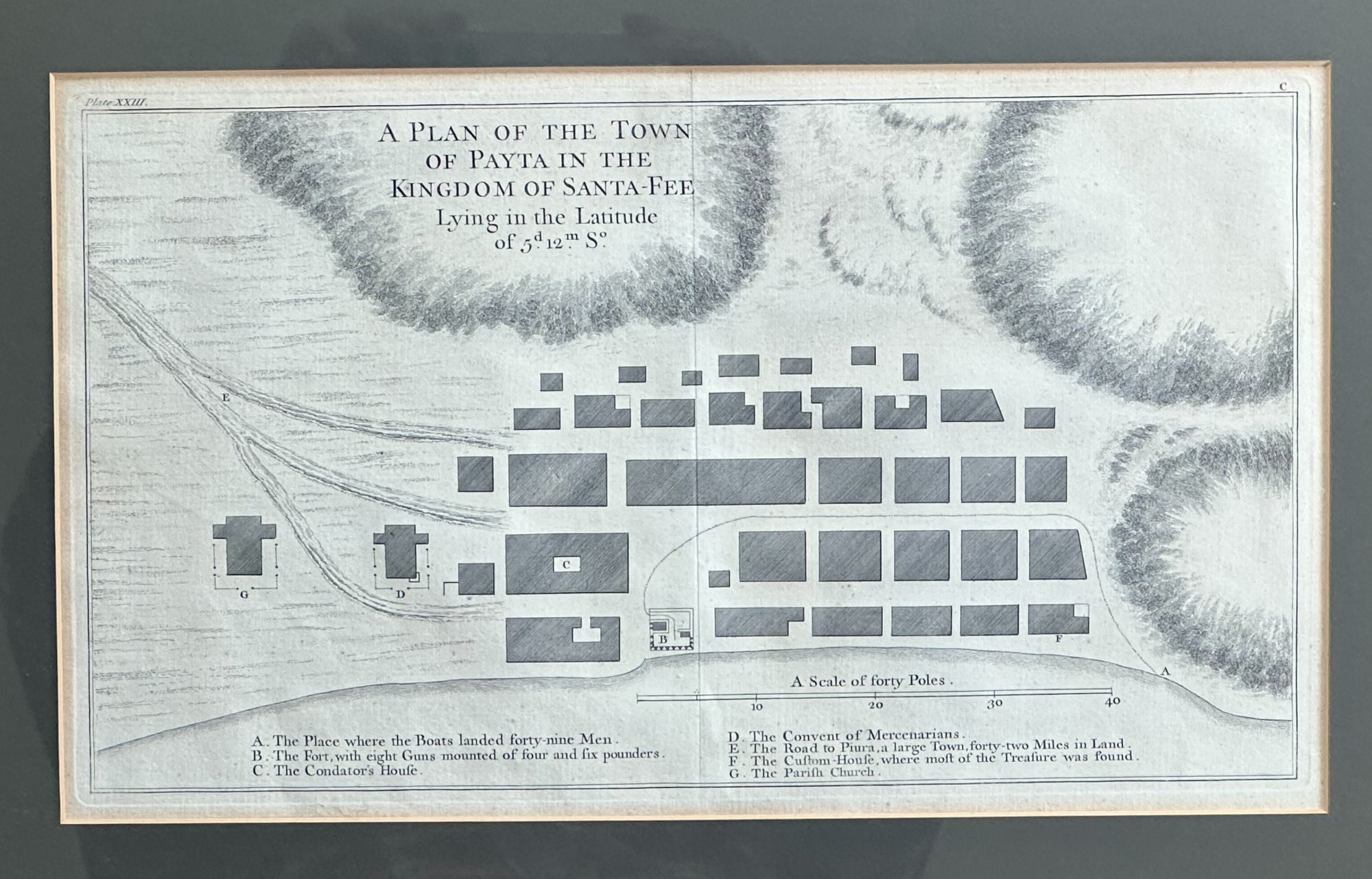
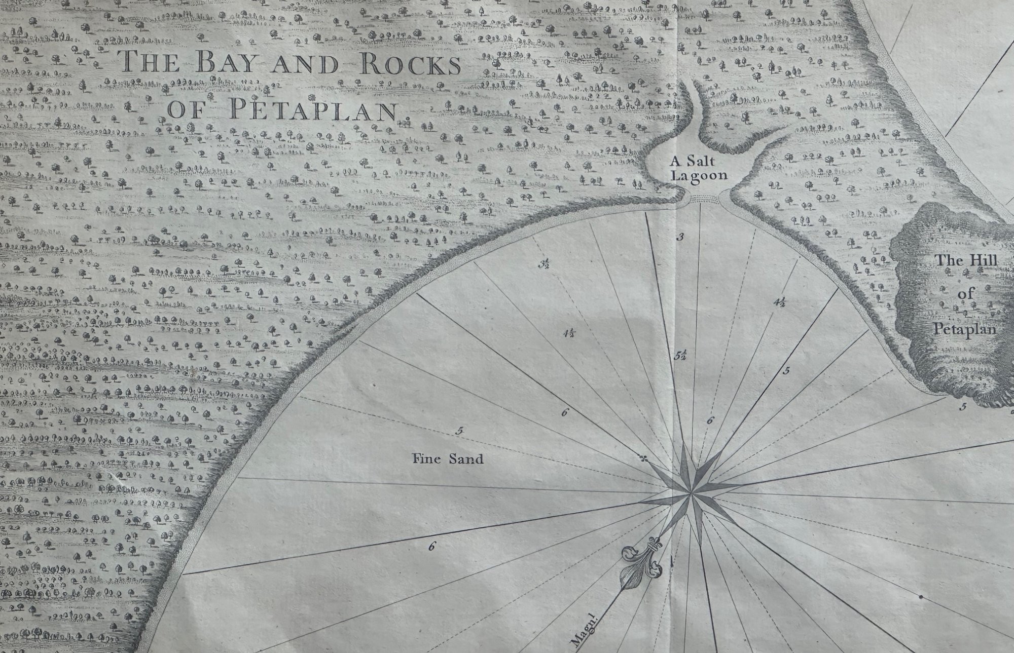
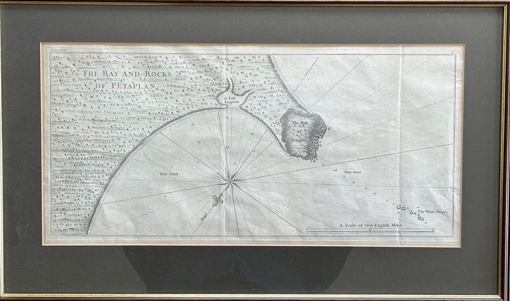
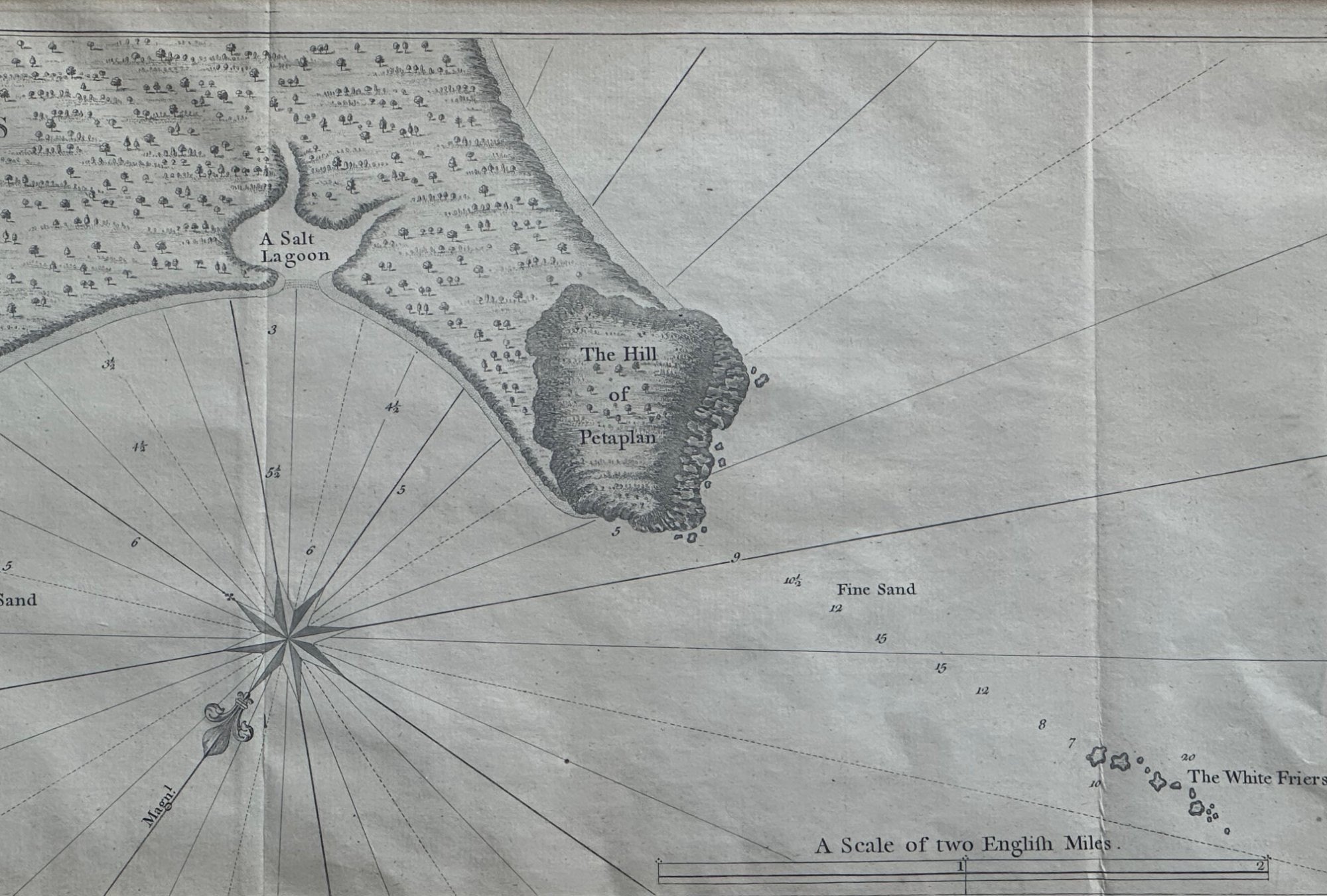
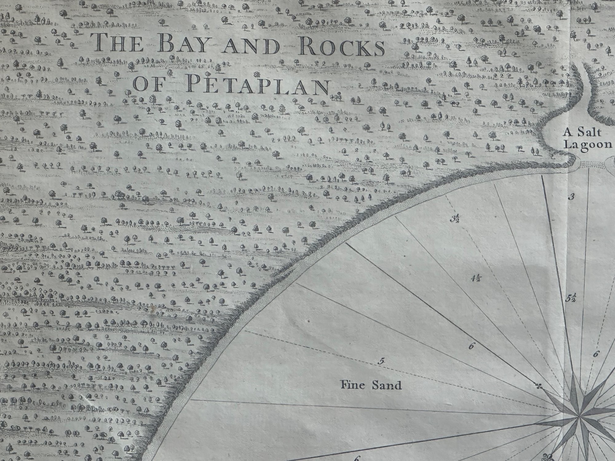
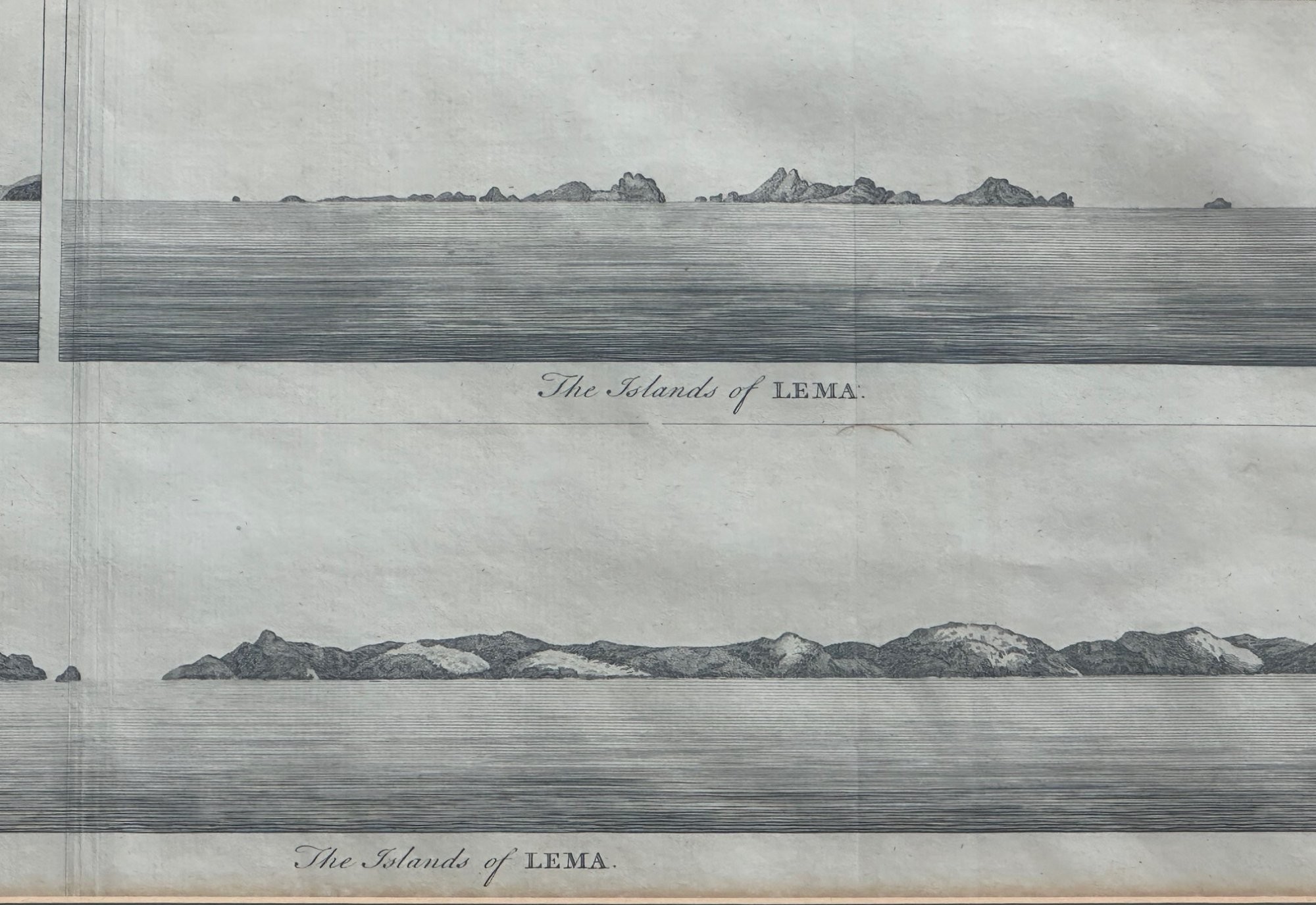
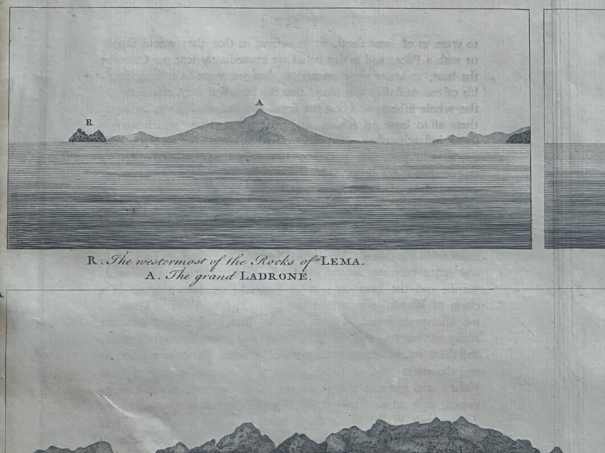
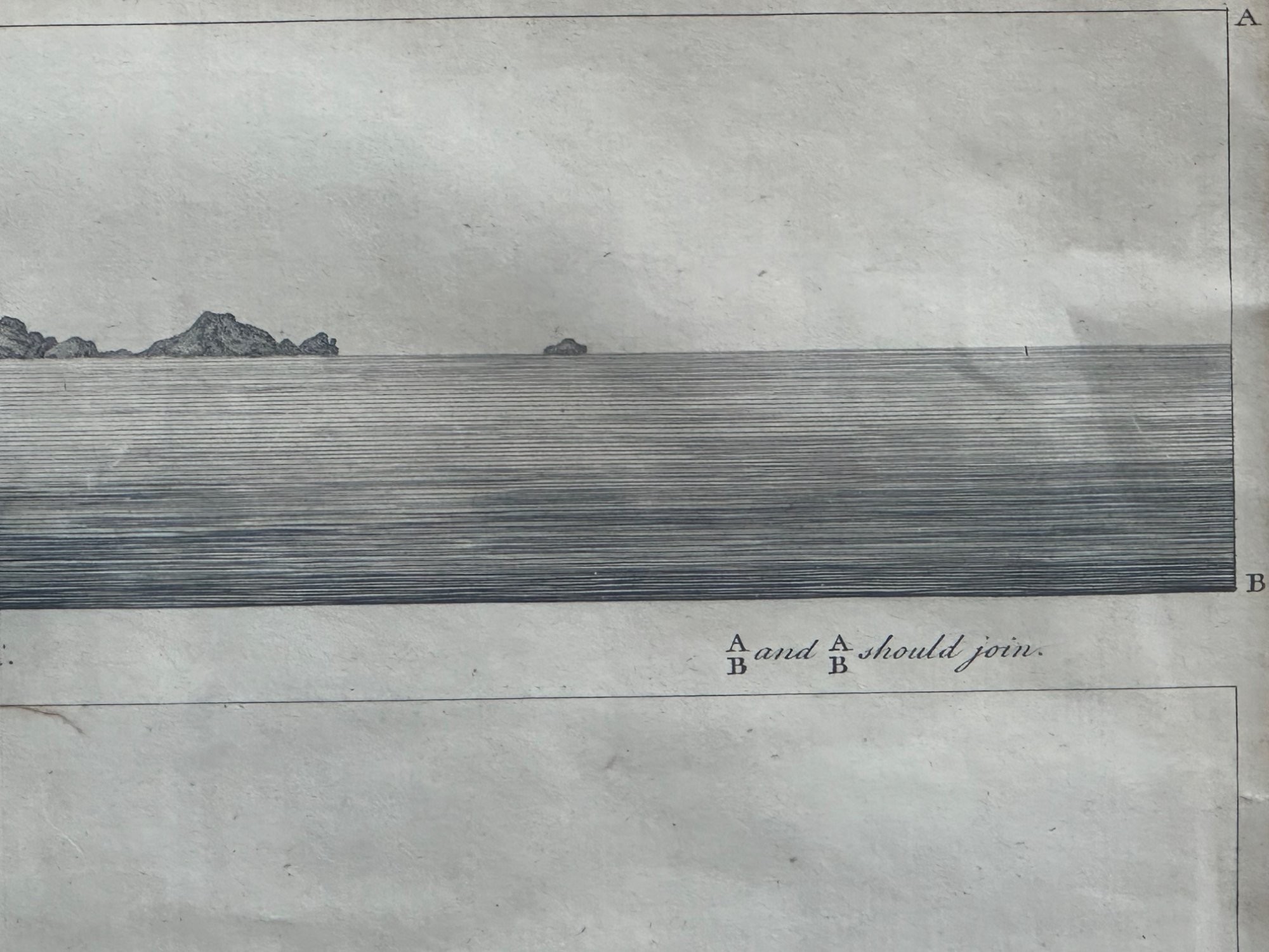
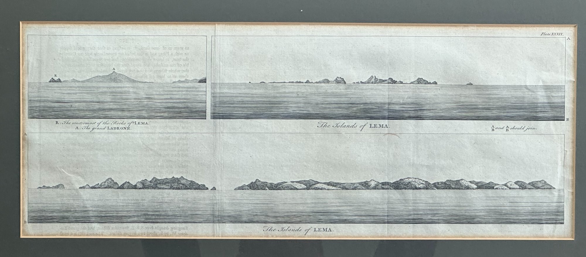
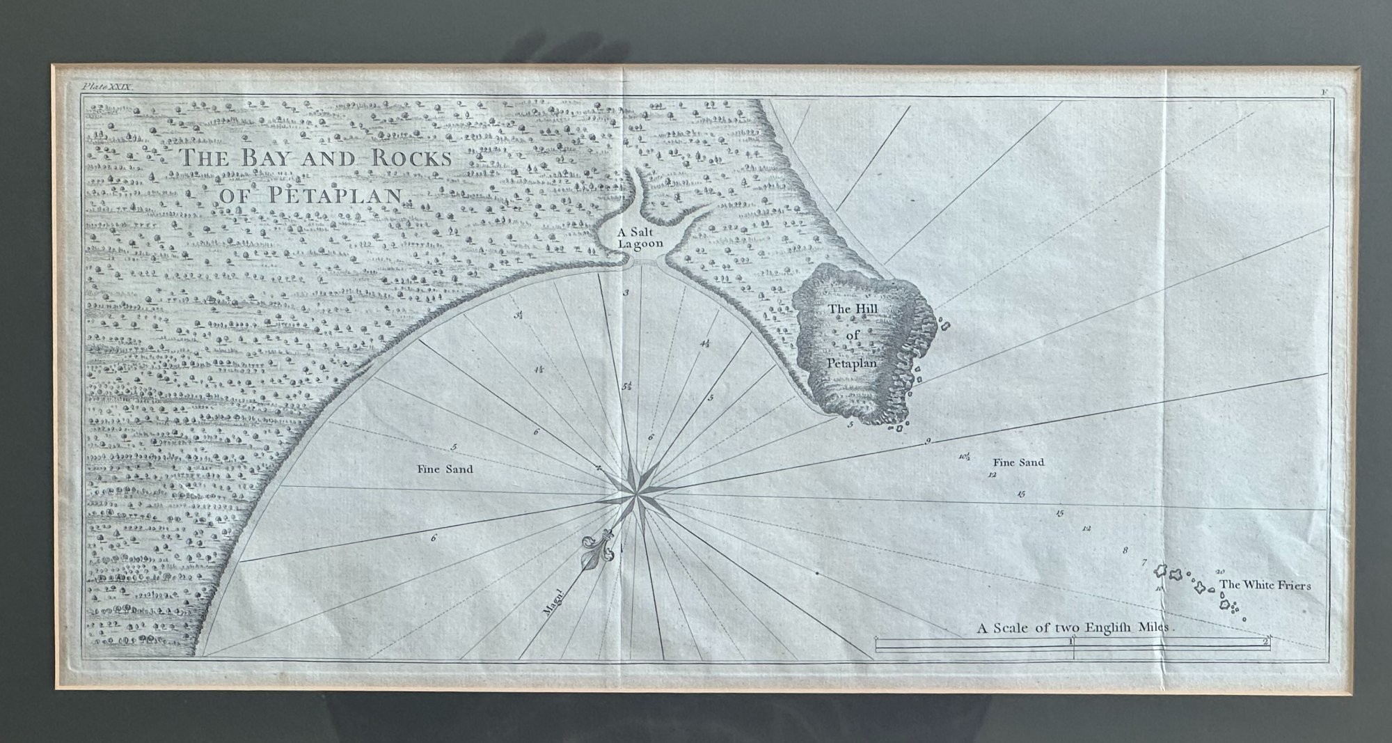
The plates formed part of 'Voyages Round the World' published c.1750, documenting Anson's circumnavigation while Commodore in The Royal Navy 1739-44, he subsequently became Rear Admiral.

They are: '

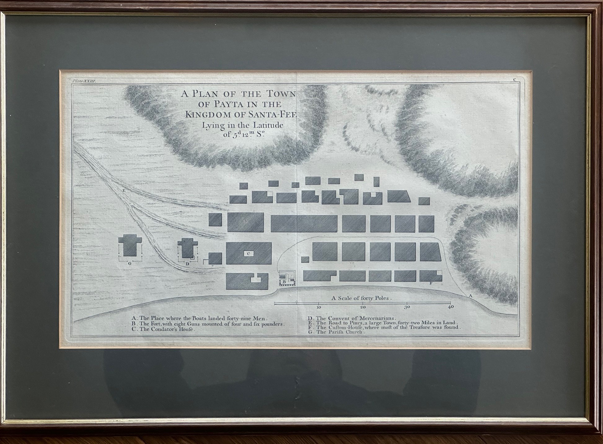
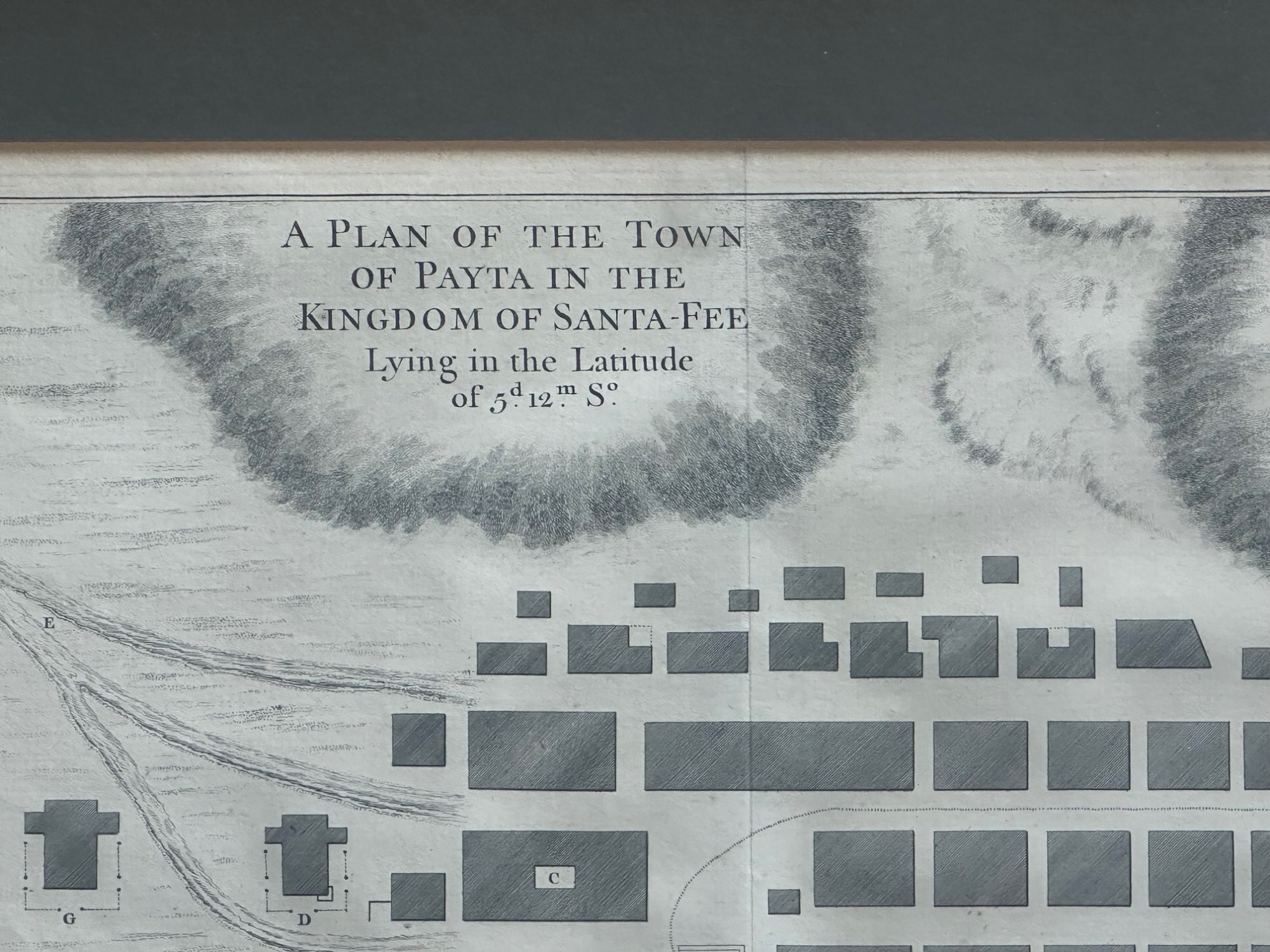
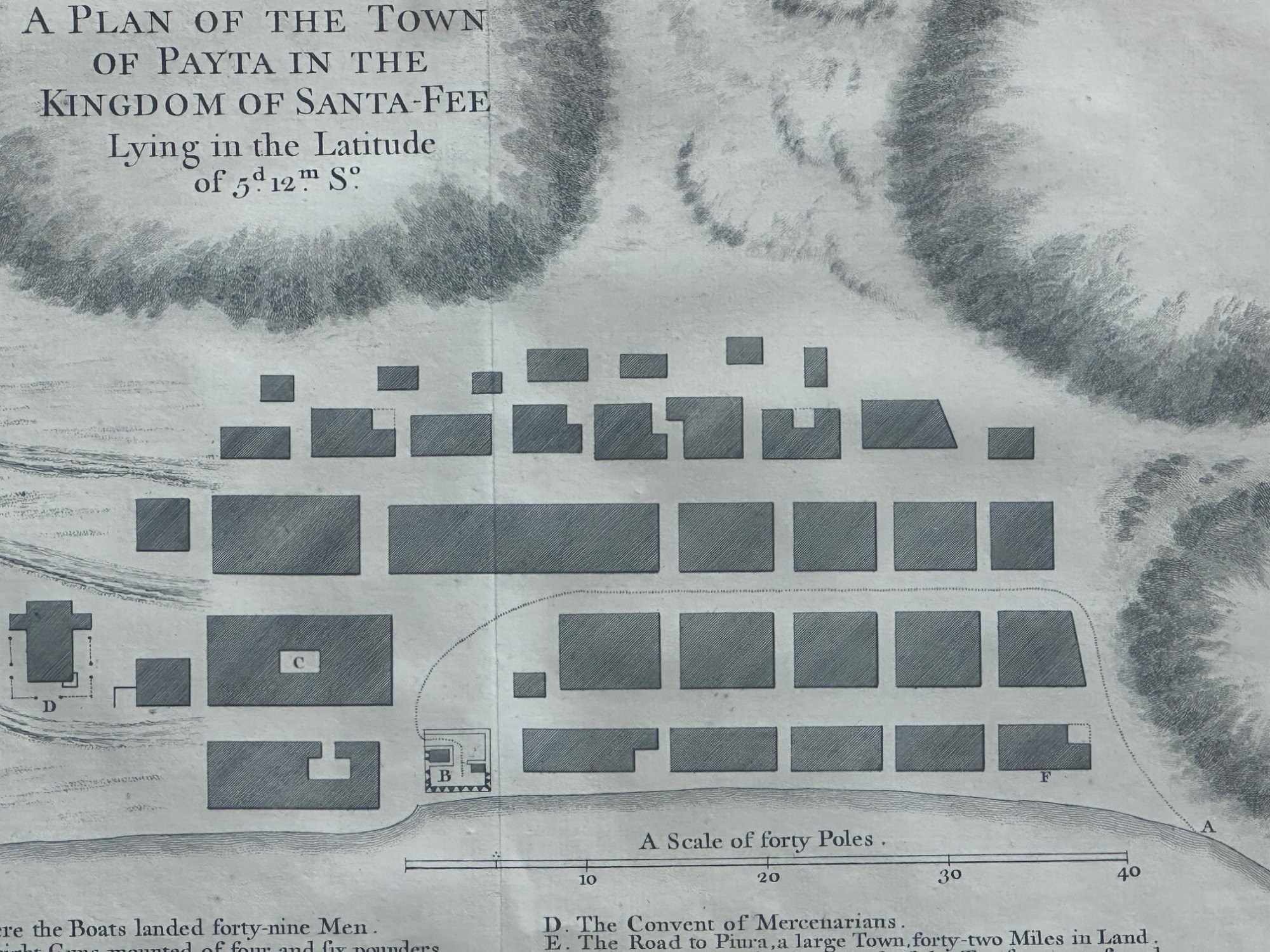
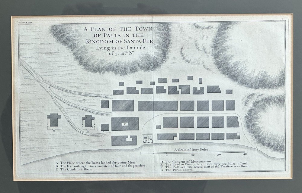
A Plan of the Town of Payta in the Kingdom of Santa-Fe'

'The Bay and Rocks of Petaplan'

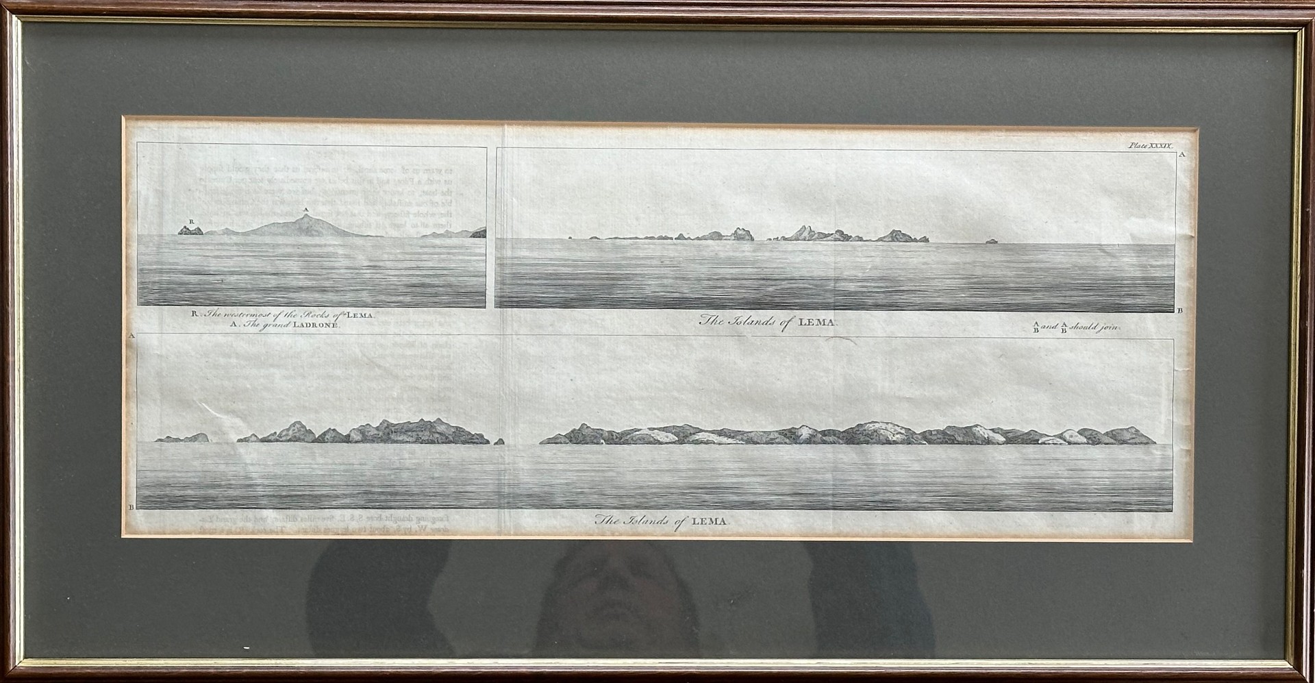
'The Islands of Lema'

Sizes 20 x 51cm; 24 x 51cm and 24 x 40cm.

Some creases and folds as per images

Declaration

Jeckyll & Co has dated this Antique Copperplate Town Plan to the 18th Century.

Reference Numbers
Sellingantiques Reference
SA1228843
Description
The plates formed part of 'Voyages Round the World' published c.
1750, documenting Anson's circumnavigation while Commodore in The Royal Navy 1739-44, he subsequently became Rear Admiral.
Jeckyll & Co

They are: '

A Plan of the Town of Payta in the Kingdom of Santa-Fe'

'The Bay and Rocks of Petaplan'

'The Islands of Lema'

Sizes 20 x 51cm; 24 x 51cm and 24 x 40cm.

Some creases and folds as per images

Date of Manufacture

Jeckyll & Co has dated this Antique Copperplate Town Plan to the 18th Century.

Reference Numbers
Sellingantiques Ref
SA1228843
Jeckyll & Co
Sellingantiques verified Since May 2022

Instagram: jeckyllandco

Dealer Profile

You can view the stock and full dealer information on the Jeckyll & Co Profile Page
PDF SHARE
SAVE
An 18th-century black and white copperplate engraving detailing an architectural grid plan of the town of Payta with a lettered legend at the base.
1 / 14
Archive I An 18th-century black and white copperplate engraving detailing an architectural grid plan of the town of Payta with a lettered legend at the base.

A Set of Three Mid 18th Century Maps Relating to the Around the World Voyage of Lord George Anson (1697 1762),
Archive II An 18th-century black and white copperplate engraving detailing an architectural grid plan of the town of Payta with a lettered legend at the base. View II
Archive III An 18th-century black and white copperplate engraving detailing an architectural grid plan of the town of Payta with a lettered legend at the base. View III
Archive IV An 18th-century black and white copperplate engraving detailing an architectural grid plan of the town of Payta with a lettered legend at the base. View IV
Archive V An 18th-century black and white copperplate engraving detailing an architectural grid plan of the town of Payta with a lettered legend at the base. View V
Archive VI An 18th-century black and white copperplate engraving detailing an architectural grid plan of the town of Payta with a lettered legend at the base. View VI
Archive VII An 18th-century black and white copperplate engraving detailing an architectural grid plan of the town of Payta with a lettered legend at the base. View VII
Archive VIII An 18th-century black and white copperplate engraving detailing an architectural grid plan of the town of Payta with a lettered legend at the base. View VIII
Archive IX An 18th-century black and white copperplate engraving detailing an architectural grid plan of the town of Payta with a lettered legend at the base. View IX
Archive X An 18th-century black and white copperplate engraving detailing an architectural grid plan of the town of Payta with a lettered legend at the base. View X
Archive XI An 18th-century black and white copperplate engraving detailing an architectural grid plan of the town of Payta with a lettered legend at the base. View XI
Archive XII An 18th-century black and white copperplate engraving detailing an architectural grid plan of the town of Payta with a lettered legend at the base. View XII
Archive XIII An 18th-century black and white copperplate engraving detailing an architectural grid plan of the town of Payta with a lettered legend at the base. View XIII
Archive XIV An 18th-century black and white copperplate engraving detailing an architectural grid plan of the town of Payta with a lettered legend at the base. View XIV
Enlarged Archival View
Telephone 07735 072466
Location
Edinburgh
United Kingdom
Verified Since May 2022
Items For Sale 70
Items Sold 292
Jeckyll & Co
Verified Since May 2022
View Dealer Info
Location: Edinburgh, United Kingdom
Verified
May 2022
For Sale
70
Sold
292
An 18th-century black and white copperplate engraving detailing an architectural grid plan of the town of Payta with a lettered legend at the base.
A Set Of Three Mid 18th Century Maps Relating To The Around The World Voyage Of Lord George Anson (1697 1762),
Ref: SA1228843
An 18th-century black and white copperplate engraving detailing an architectural grid plan of the town of Payta with a lettered legend at the base.
Detail View 1
Detail View 2
Detail View 3
Detail View 4
Detail View 5
Detail View 6
Detail View 7
Detail View 8
Detail View 9
Detail View 10
Detail View 11
Detail View 12
Detail View 13
Archival Detail
Every single antique dealer on our platform is individually approved by our internal team. We verify their professional trade history, ethical standards, and photographic quality to ensure a secure, high-standard buying environment. Upon joining, every dealer agrees to a strict 9-point code of conduct. While issues can occasionally arise, our dealers typically resolve them swiftly and directly with the buyer. In fact, since our founding in 2002, Sellingantiques has only had to step in to help resolve an issue on roughly five occasions—a true testament to the quality of our dealers and their dedication to your happiness.
Our dealers are highly experienced in packing and shipping fragile, high-value antiques. Because you are in direct contact with the dealer, you will be able to easily go through all available shipping and insurance options together to ensure your item arrives safely.
Antiques are the ultimate green purchase. By choosing historical pieces over newly manufactured goods, you completely eliminate the carbon footprint of modern mass production while preserving exceptional, timeless craftsmanship.

Mid-18th century cartography refers to maps and architectural plans produced during the Georgian era using copperplate engraving techniques. These prints documented maritime explorations, military fortifications, and newly mapped settlements to record global expeditions.

Engravers carved reversed designs directly onto copper plates using a hardened steel tool called a burin. Ink was applied to the incised lines, and heavy pressure was used to transfer the image onto handmade cotton or linen rag paper.

Authentic prints from this era typically feature a distinct indented plate mark around the image perimeter where the copper plate pressed into the damp paper. Examining the paper under light should reveal laid lines, chain lines, or historic watermarks typical of pre-industrial paper production.

Framed cartographic prints function effectively when arranged in structured grid layouts or incorporated into mixed gallery walls. They add intellectual texture when positioned above credenzas, sideboards, or along hallway corridors.

Keep paper prints framed behind UV-filtering glass using acid-free mounting boards to prevent yellowing and foxing. Display them away from direct sunlight, radiators, and areas with high humidity fluctuations.
items
Add keywords to the filter
Price
£100
£250000
Era
Movements
Material
Origin
Stock Location
Freshness
Online Payments
Categories