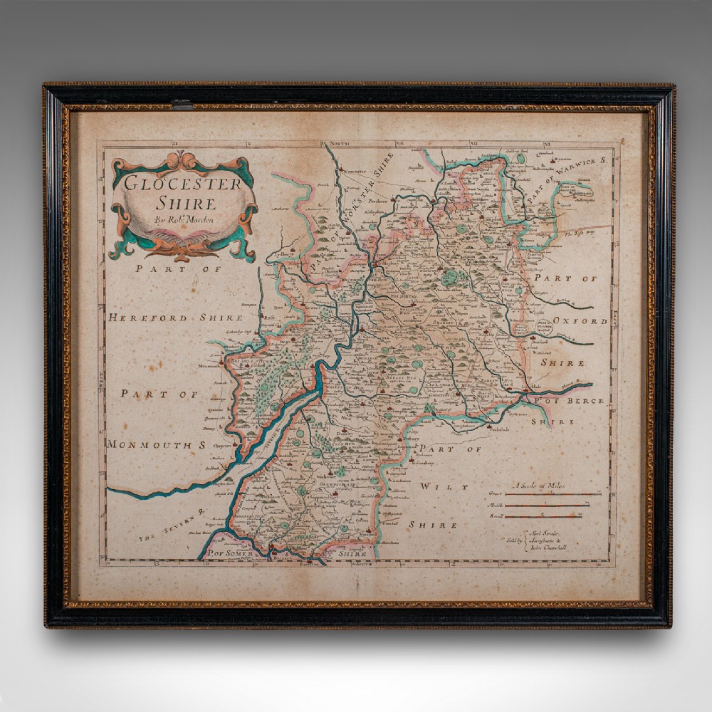
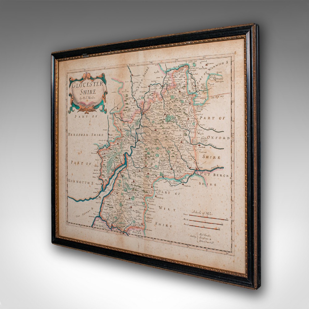
London Fine Antiques has dated this Antique Gloucestershire County Map to the 18th Century.
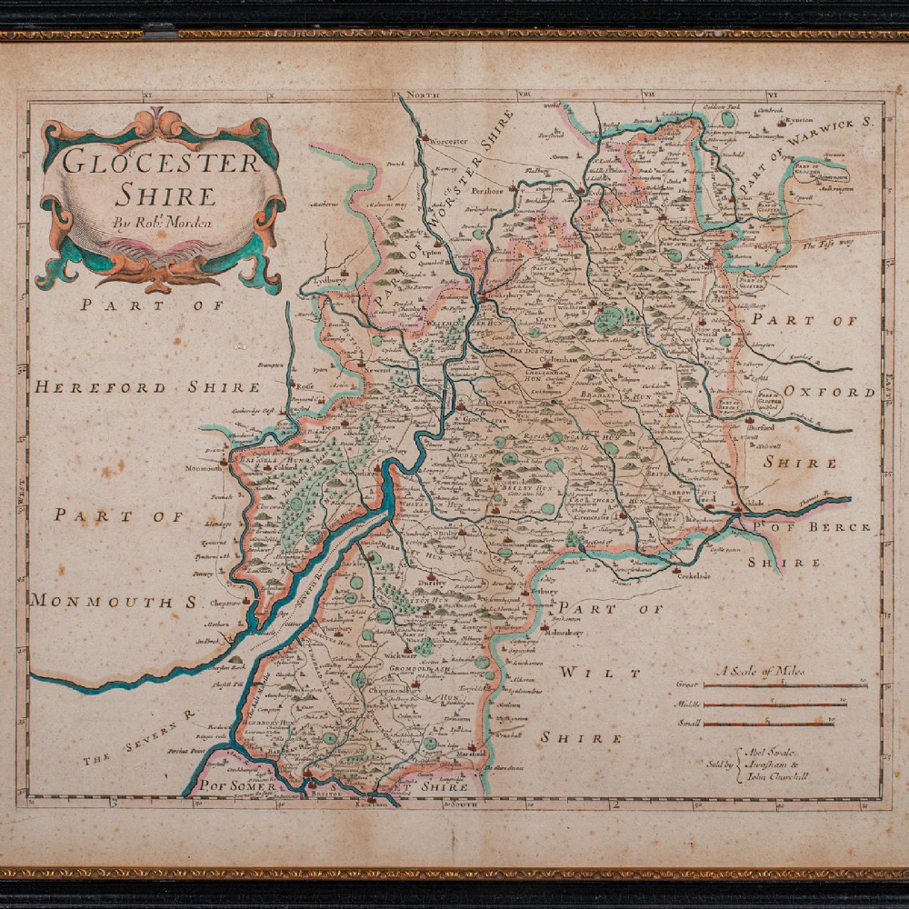
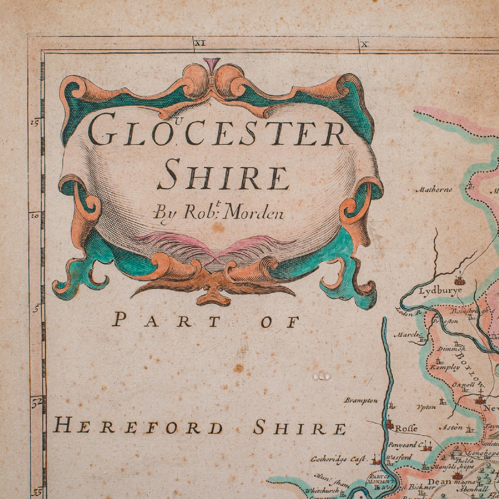
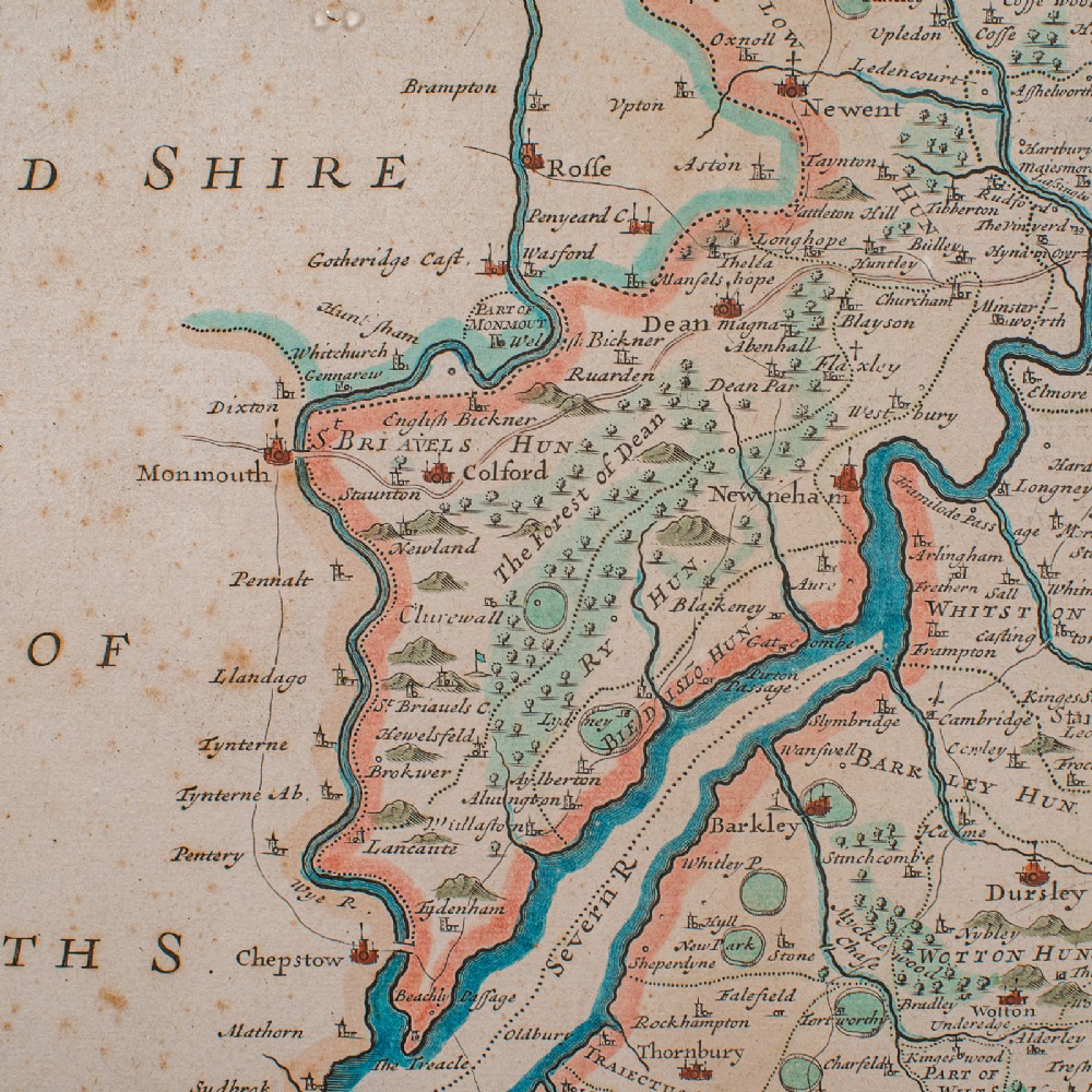
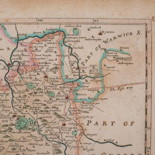
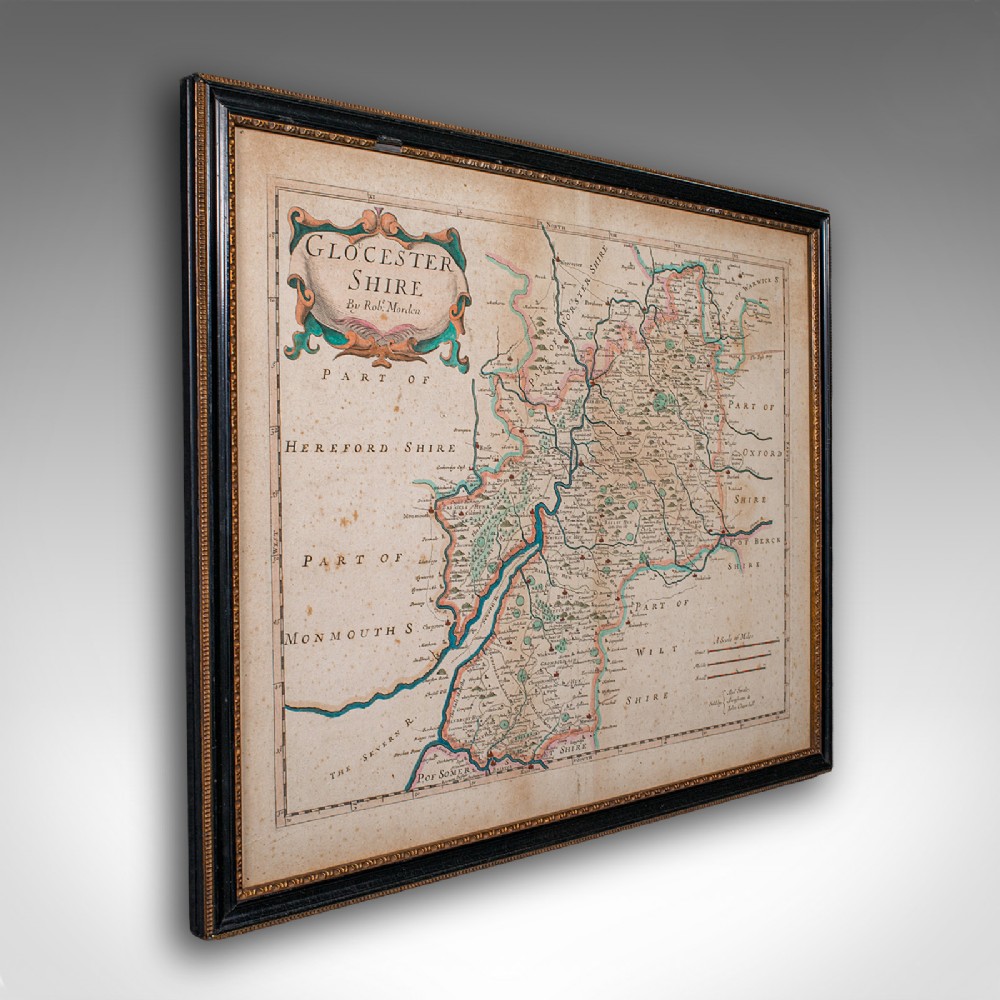
Superb lithography of Glocester Shire and its county detail as it stood circa 1700
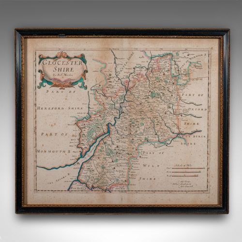
Presents a desirable aged patina with a lightly aged finish throughout
Fascinating cartography, appealingly set within a later gilt and ebonised frame
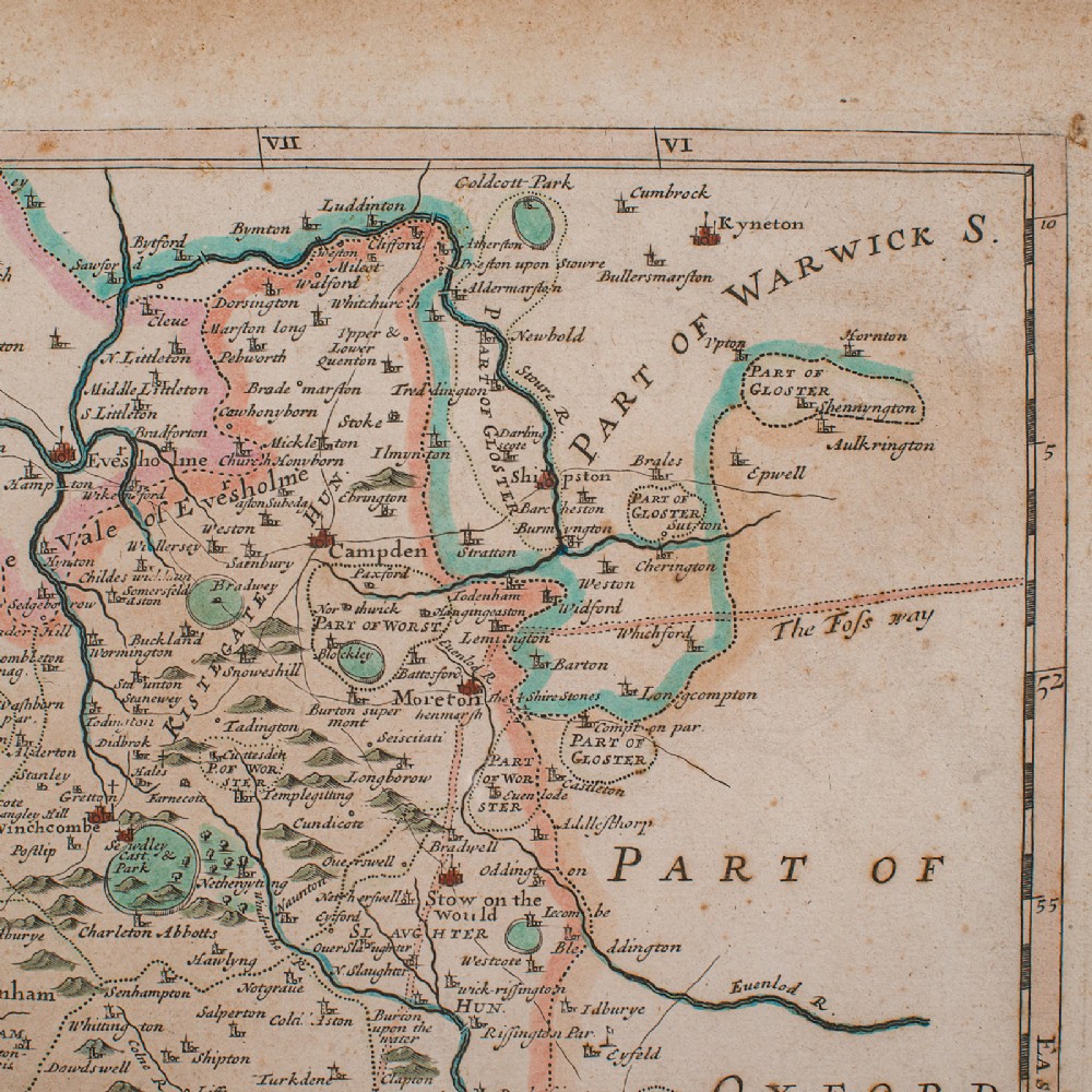
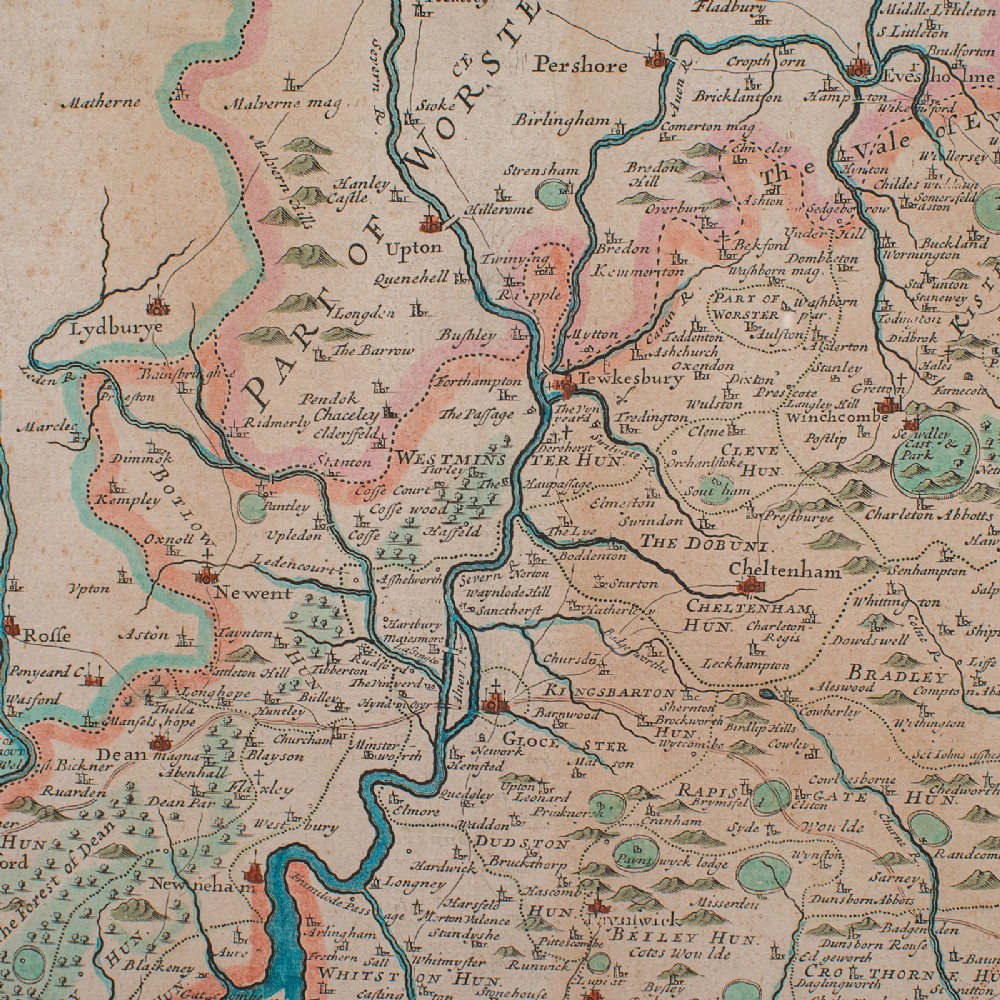
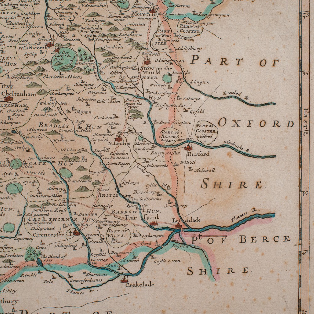
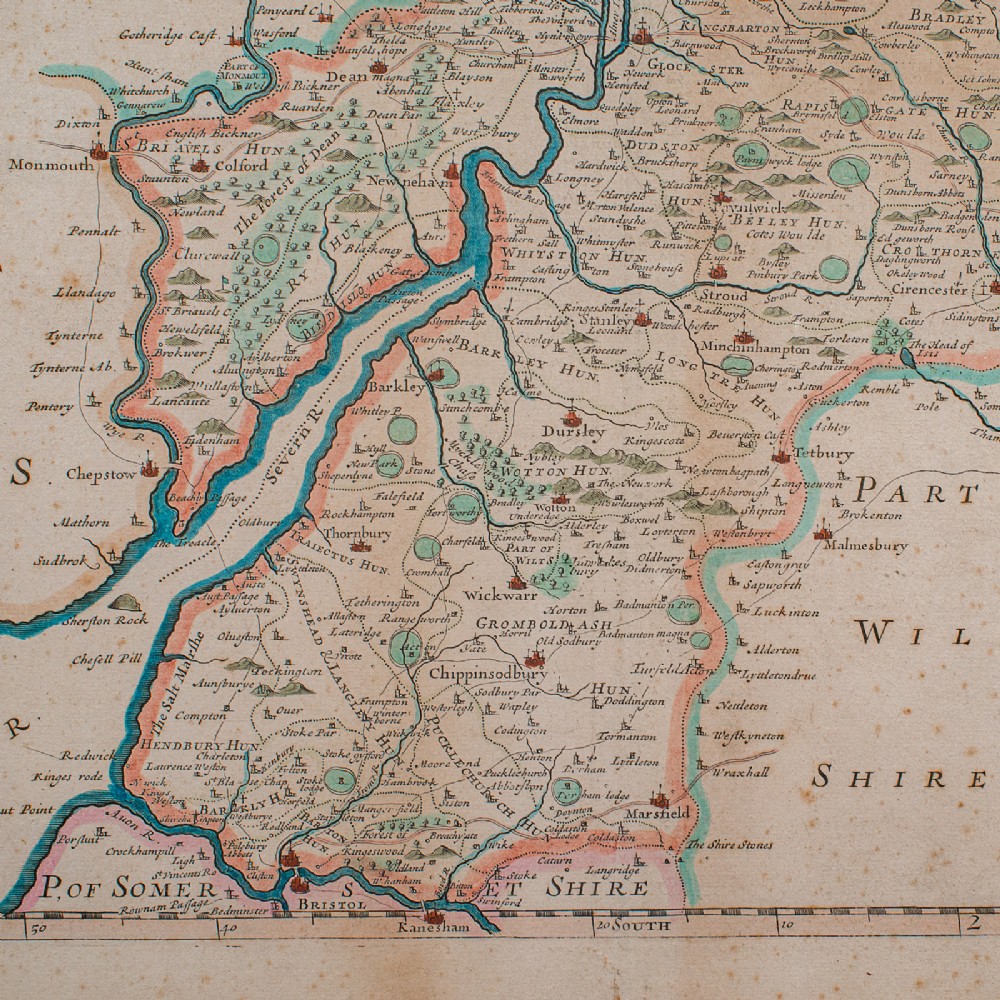
Hand-coloured presentation, and profuse in town, village and administrative detail
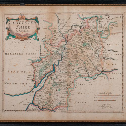
Mapped by Robert Morden (1650 - 1703) in high detail and sold by Abel Swale & John Churchill
Scale of Great, Middle and Small miles - a fascinating system devised before the standardised mile
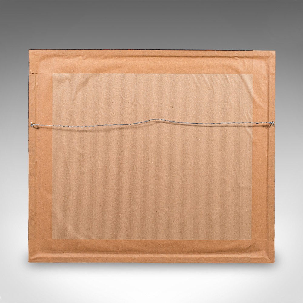
Dressed to the rear with hanging wire for ease of mounting
This is a quality antique county map of Gloucestershire, with fine cartographic interest by a renowned map maker. A treat for display or a collector. Delivered ready to display.
Dimensions:
Max Width: 51.5cm (20.25'')
Max Depth: 3cm (1.25'')
Max Height: 44.5cm (17.5'')
Map Width: 42.5cm (16.75'')
Map Height: 34.5cm (13.5'')
London Fine Antiques has dated this Antique Gloucestershire County Map to the 18th Century.
Fine antiques curated in england and sold worldwide
You can view the stock and full dealer information on the London Fine Antiques Profile Page
Antique Gloucestershire Map, English, Framed Cartography, Robert Morden, C.1700