






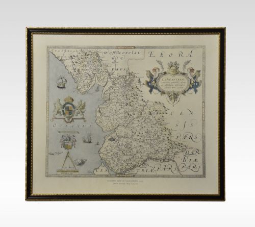


Black Framed Wall Map
These black framed wall map examples bring centuries of cartography into modern rooms.
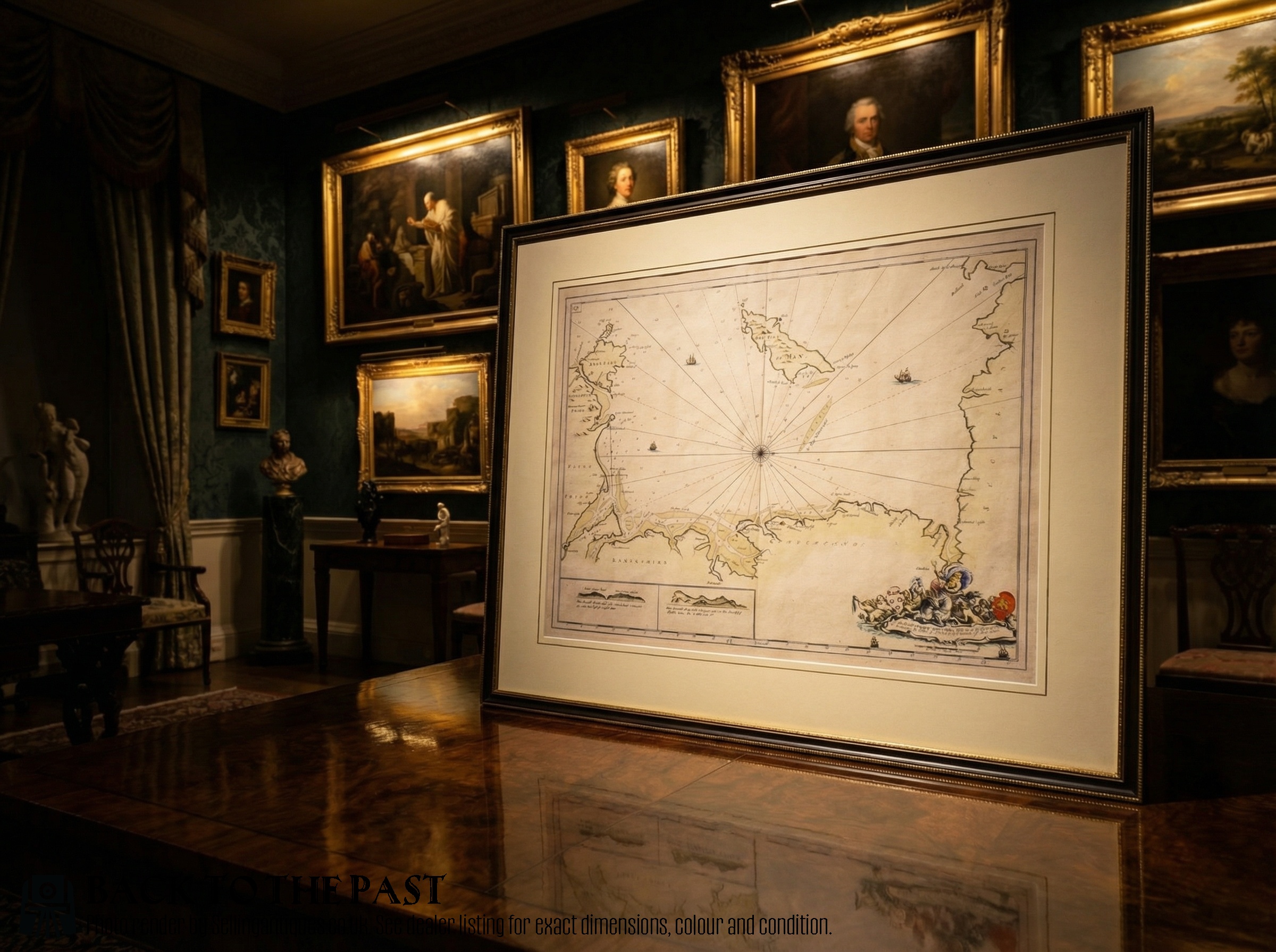
Black Framed Wall Map
A black framed wall map brings historic cartography into the room through engraved county maps, charts, and regional plans spanning from the seventeenth century to the twentieth century. These pieces display British, Dutch, and European geography mapped by notable cartographers and publishers.
The selection here draws primarily upon seventeenth-century and eighteenth-century works, alongside Georgian, Victorian, and later nineteenth-century publications. Buyers frequently encounter framed county maps by makers such as Robert Morden or John Speed, presented behind glass.
Beyond British counties like Surrey, Gloucestershire, and Wiltshire, the inventory includes continental regions, harbour charts, and river courses. Each piece functions as wall art that preserves historical geography within a dark frame.
Materials and construction
The primary visual medium is paper bearing ink and engraving, occasionally augmented with hand colouring or gold leaf and gilt accents. Cartographers initially produced these maps from engraved plates before mounting them for display.
Protecting these fragile works, glass covers the paper surface while wooden framing provides structural support. The materials reflect centuries of publishing traditions, from early copperplate engravings to later steel engravings.
The listings span from the seventeenth century through the Georgian and Victorian eras, utilising paper, wood, glass, and ink.
What separates examples
Quality rests in the clarity of the original engraving and the preservation of the paper over centuries of handling. Early impressions pulled directly from plates by renowned cartographers hold greater significance than later nineteenth-century publications.
The condition of the paper, the crispness of the ink lines, and the preservation of any contemporary hand colouring distinguish finer examples. Furthermore, the character of the surrounding frame and glazing contributes to the overall integrity of the piece.
Blaeu·Johannes Janssonius·Robert Morden·John Speed·Eman Bowen
The Black Framed Wall Map Glossary
- Cartography
- The science or practice of drawing maps. In these listings, it refers to antique county maps and charts.
- Engraving
- A printmaking technique where an image is incised onto a metal plate. This method produced the sharp lines visible on early maps.
- Atlas
- A bound collection of maps, though individual pages are frequently removed for framing. These plates form the bulk of historical wall art.
- Hand colouring
- The application of pigment by hand to a printed map. This process added geographical distinction and visual appeal to early editions.
Black Framed Wall Map: Frequently Asked Questions
How do I hang a heavy framed map safely?
Ensure the wall fixings match the weight of the wooden frame and glass combination. Utilise picture wire secured to sturdy D-rings on the reverse.
Position the piece away from direct sunlight to protect the aged paper and ink from fading over time.
Are these maps original antique prints?
The listings comprise genuine historical engravings and charts published across several centuries. Each piece originates from the period stated in the description.
Makers such as John Speed and Robert Morden produced these works during the seventeenth and eighteenth centuries.
Can I remove the map from its frame?
Opening antique frames risks damaging the fragile paper and historical mountings inside. It is best to leave the piece sealed to protect the paper from atmospheric moisture.
Professional framing conservation methods should be consulted if any adjustments are required.
How do I identify a seventeenth century map?
Examine the style of the cartography, the spelling of place names, and the typography used in the title cartouche. Evidence often points to specific publishing eras through Latin text or known publisher signatures.
Consulting historical records for makers like Blaeu helps confirm the approximate date of production.