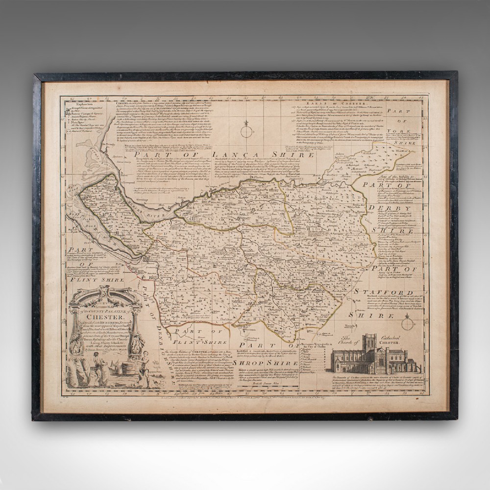
London Fine Antiques has dated this Antique Chester County Map to the Georgian era.
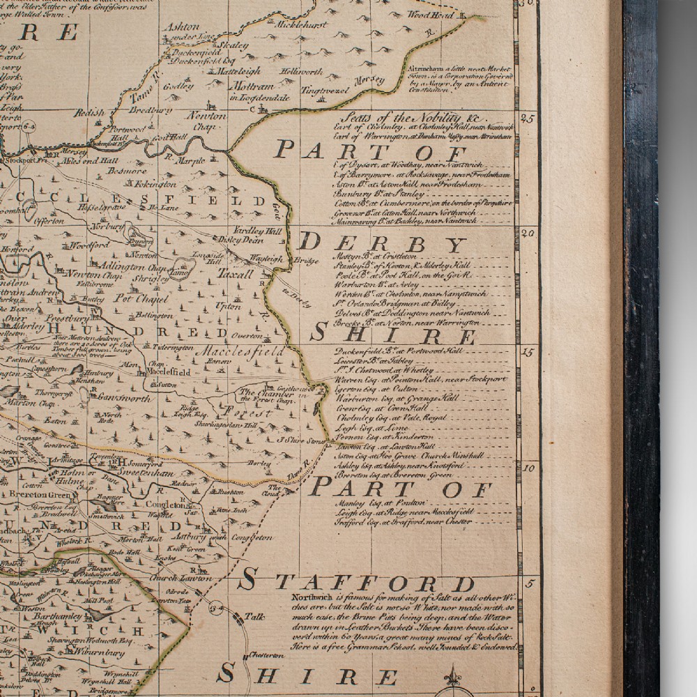
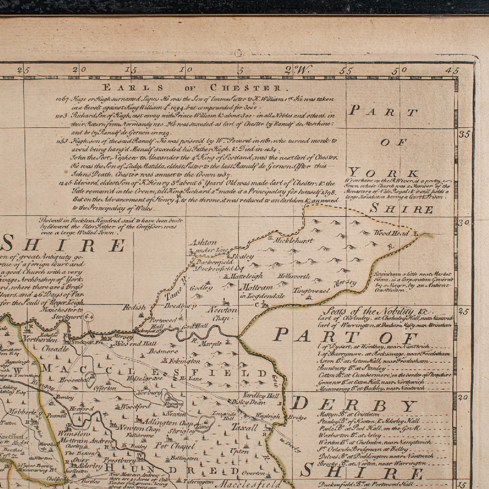
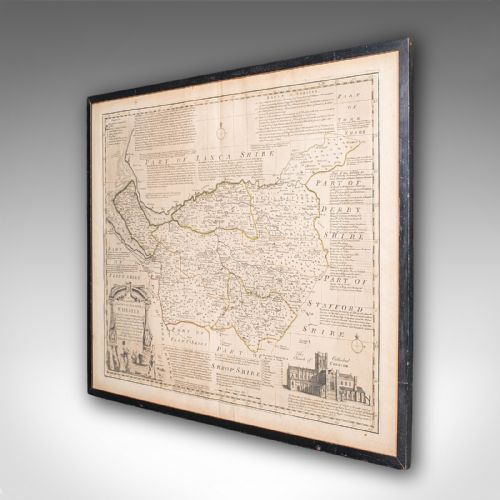
Superb cartography reproduction of Cheshire - perfect for display
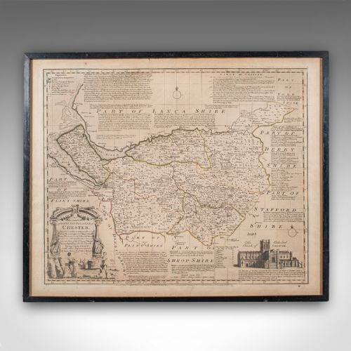
Displaying a desirable aged patina and in good original order
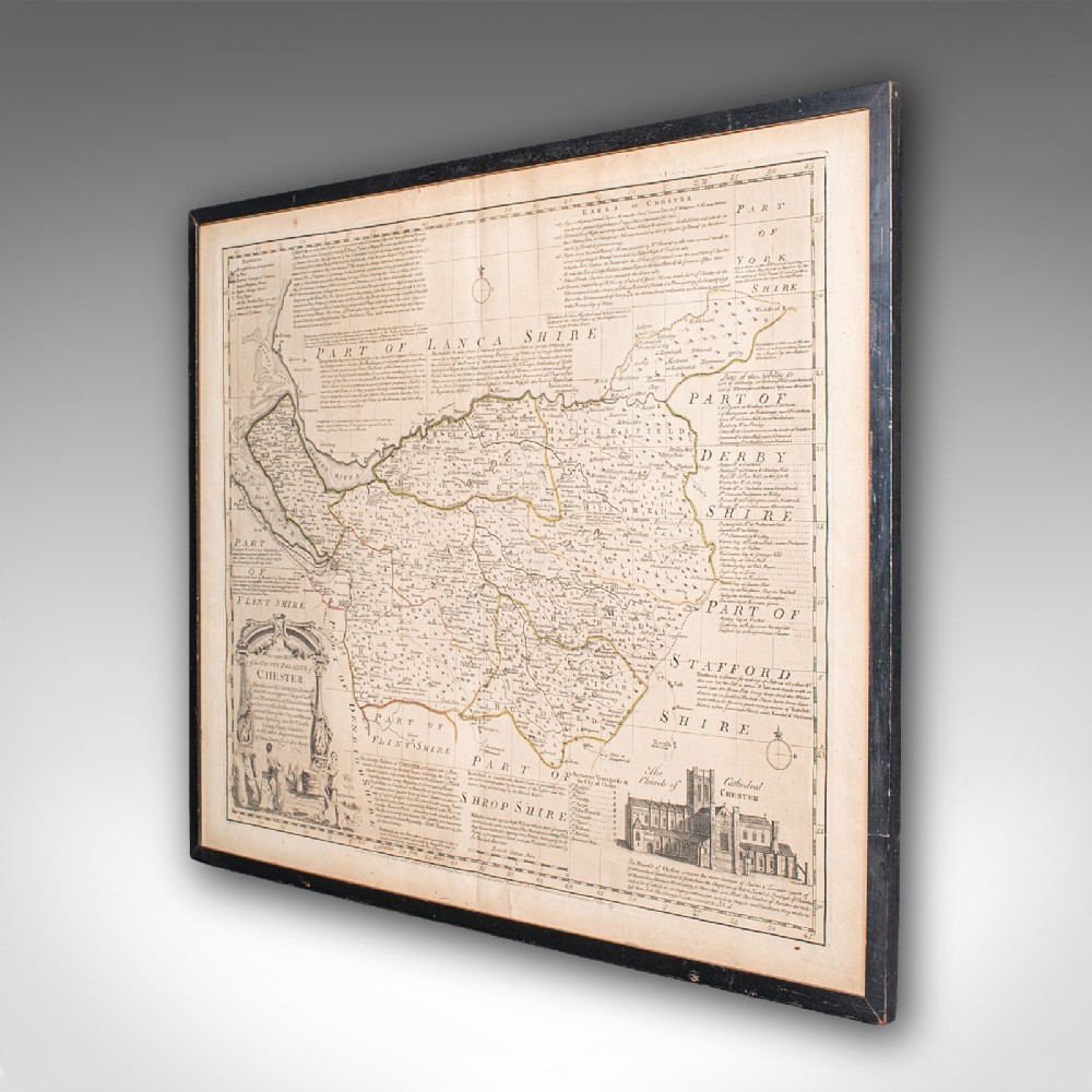
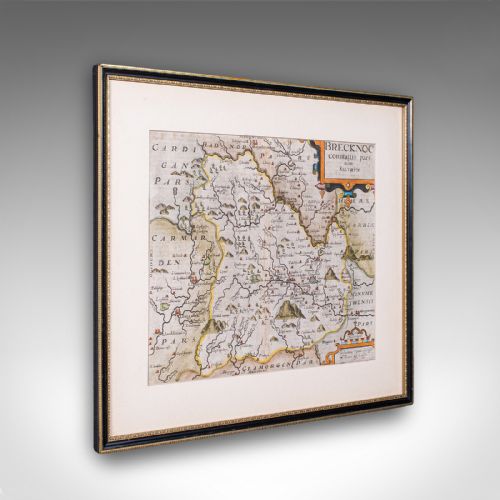
Fascinating period map, appealingly set within a later glazed frame
Compiled by Emanuel Bowen (1694 - 1767) in the mid-18th century
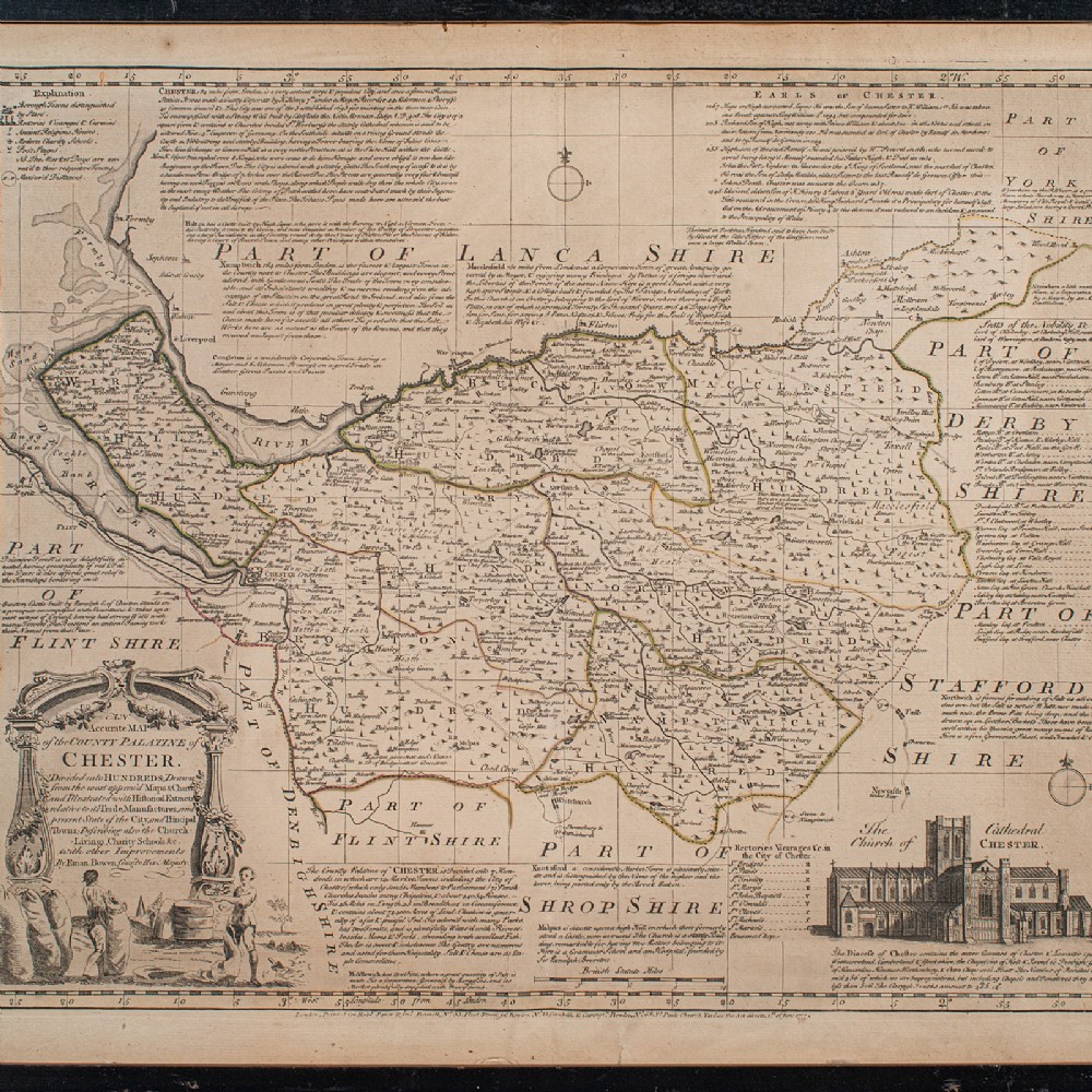
Fine legibility in the monochromatic presentation
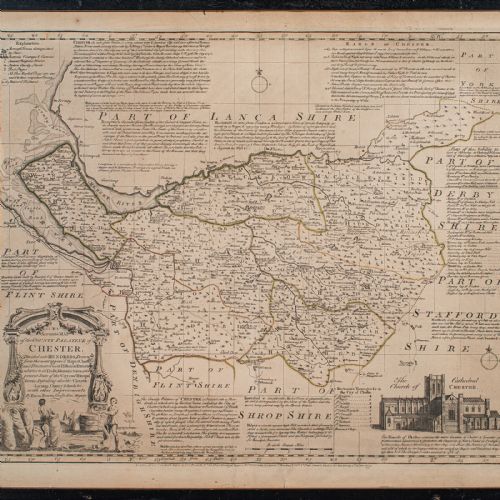
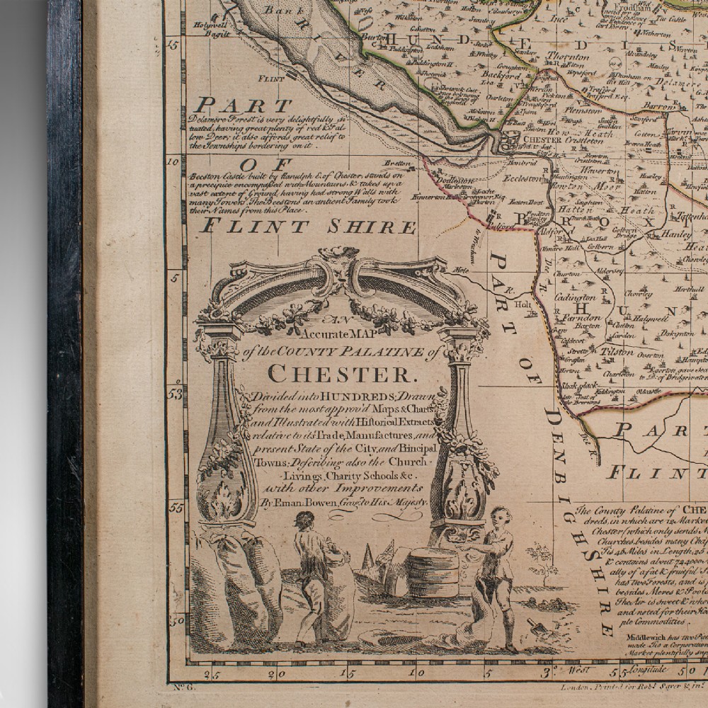
Fully annotated with historic and commercial detail relating to the county
Illustrated title panel shows two mill workers carrying sacks of corn
Architectural interest with a fine engraving of Chester's cathedral
Dressed to the rear with hanging braid for ease of mounting
This is a quality antique Palantine of Chester county map, with fine cartographic and historic interest. A visually pleasing example, delivered ready to display.
Dimensions:
Max Width: 58cm (22.75'')
Max Depth: 2.5cm (1'')
Max Height: 47.5cm (18.75'')
Map Width: 49.5cm (19.5'')
Map Height: 40.5cm (16'')
London Fine Antiques has dated this Antique Chester County Map to the Georgian era.
Fine antiques curated in england and sold worldwide
You can view the stock and full dealer information on the London Fine Antiques Profile Page

Antique Chester County Map, English, Cheshire, Framed Cartography, Georgian