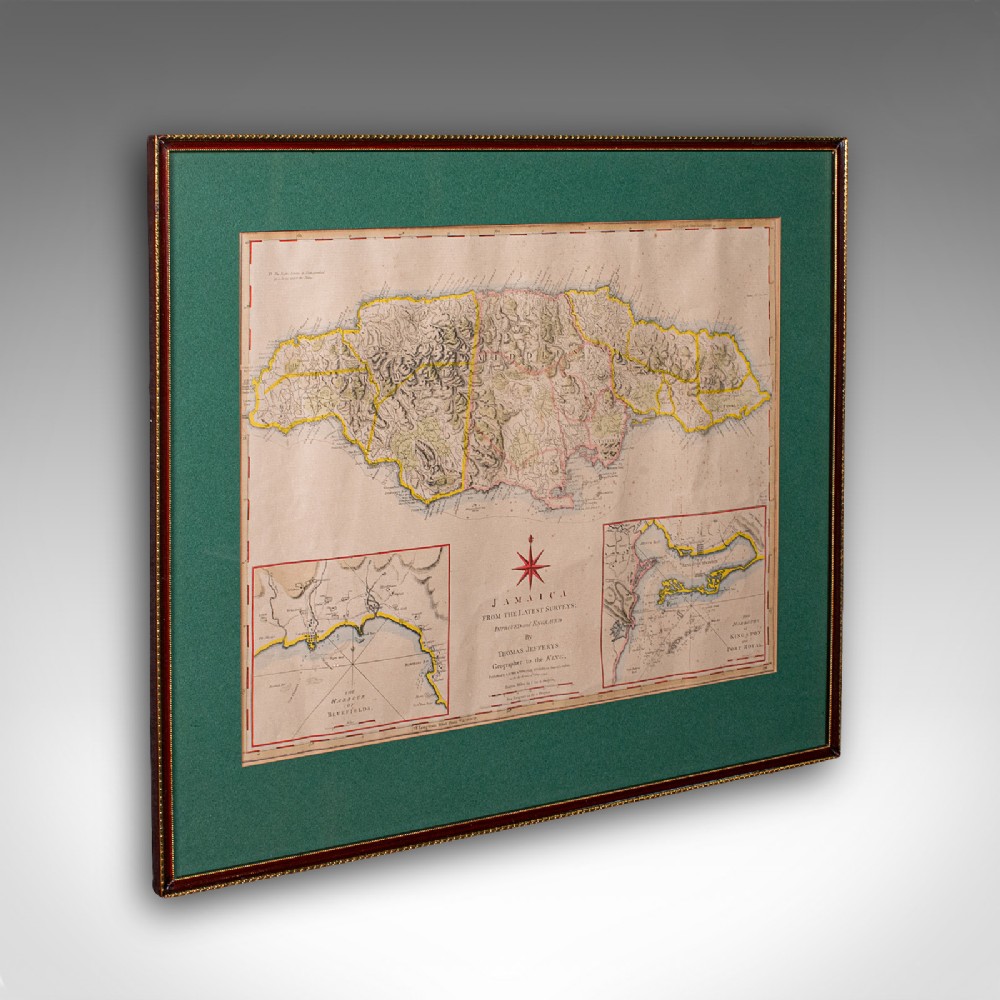
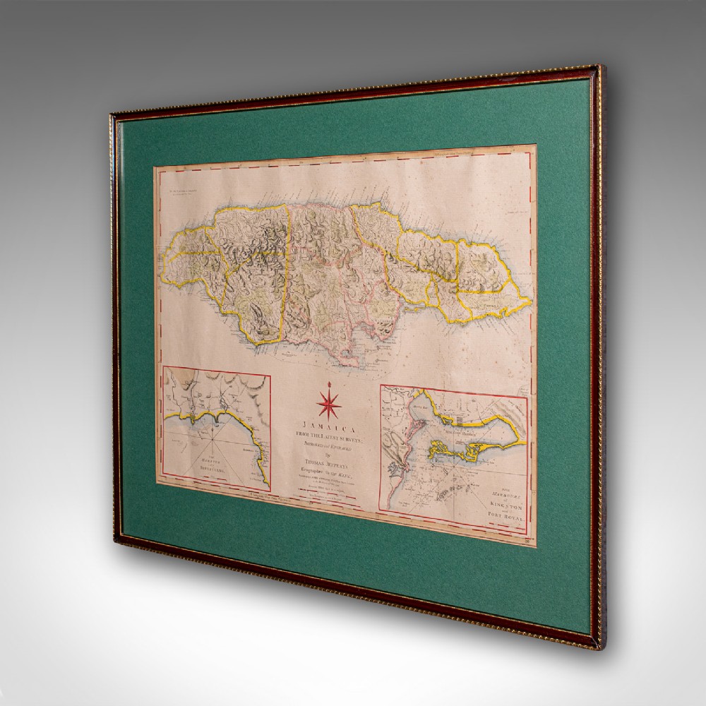
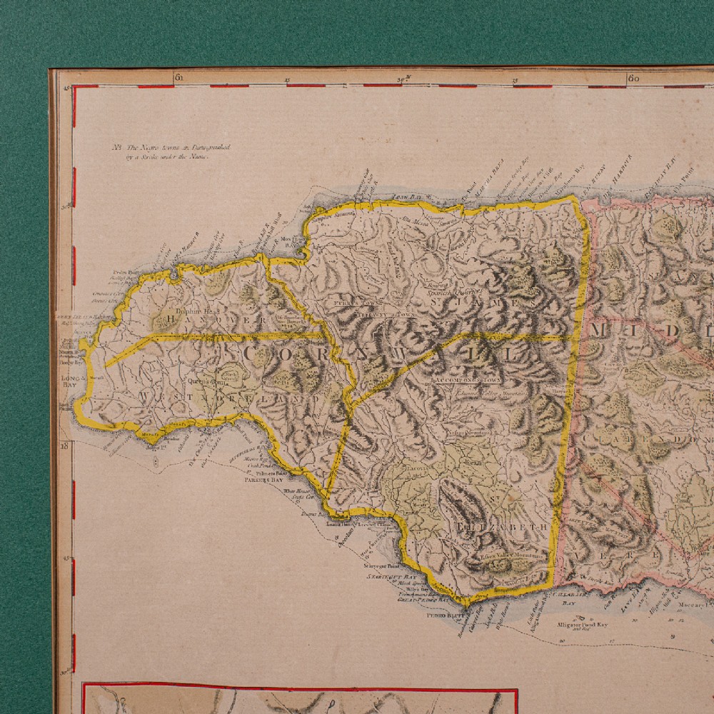
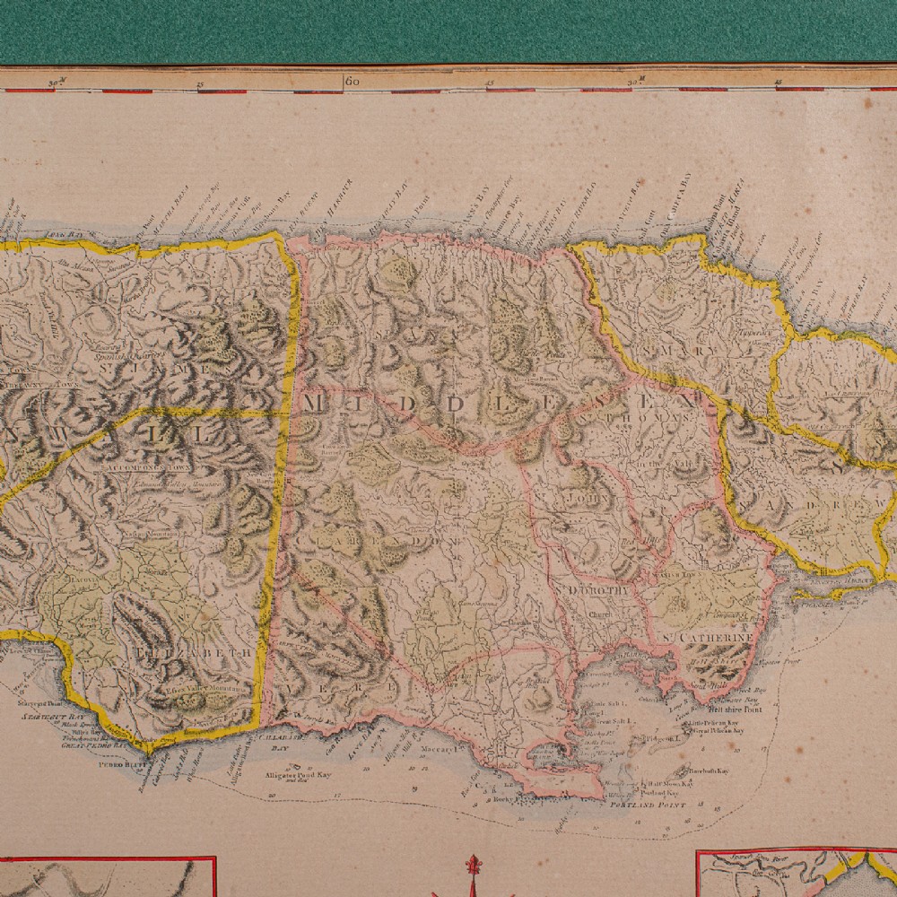
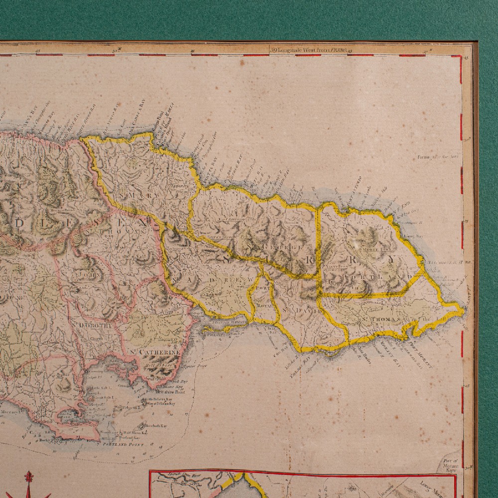
London Fine Antiques has dated this Antique Framed Jamaica Map to the Georgian era.
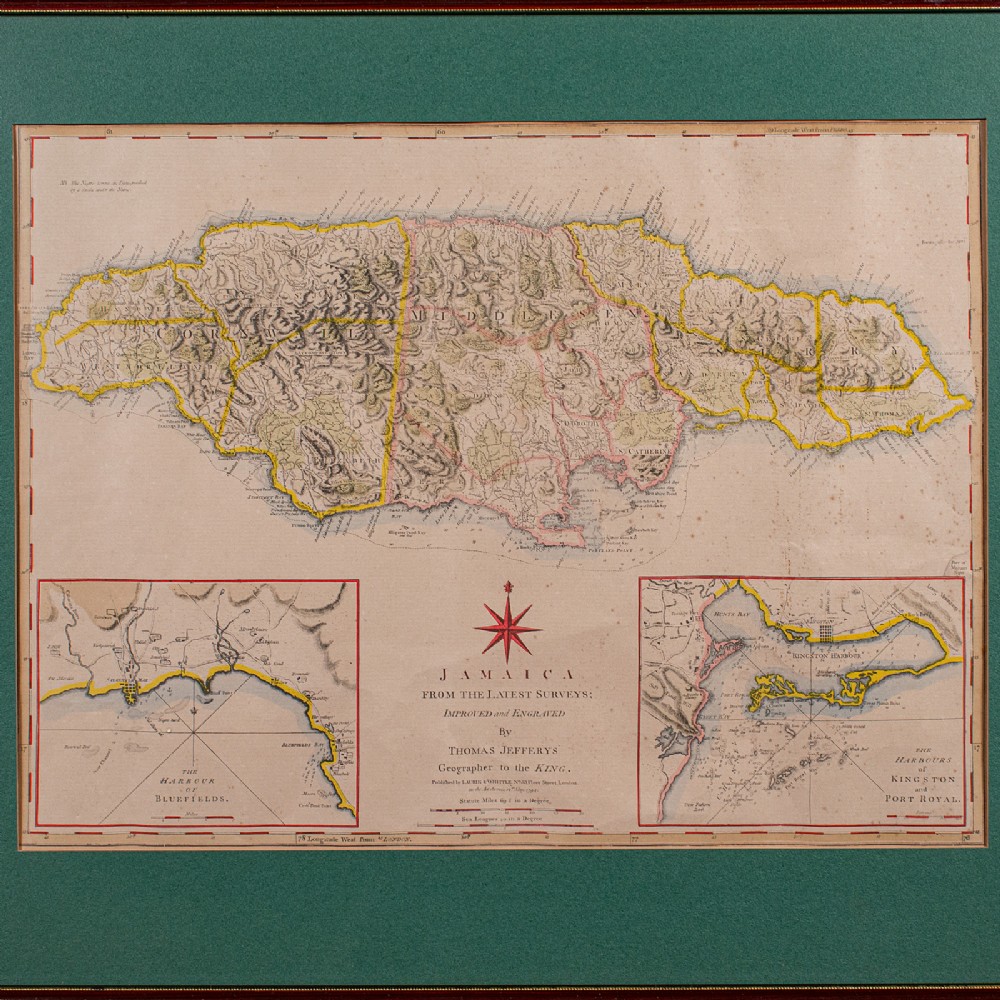
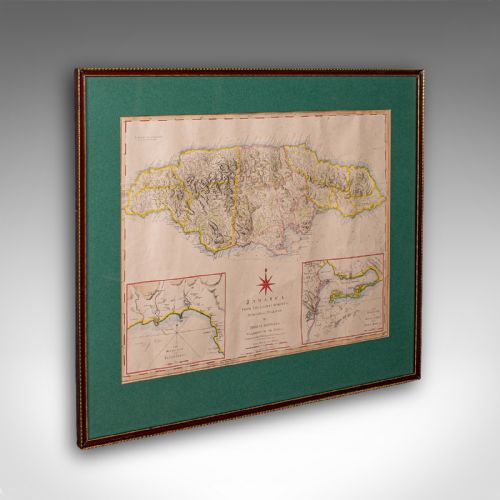
Excellent Georgian period cartography of the famous island
Displaying a desirable aged patina and in good original order
Fascinating map, appealingly set within a later glazed frame
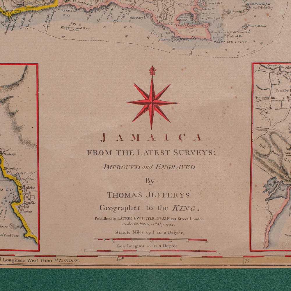
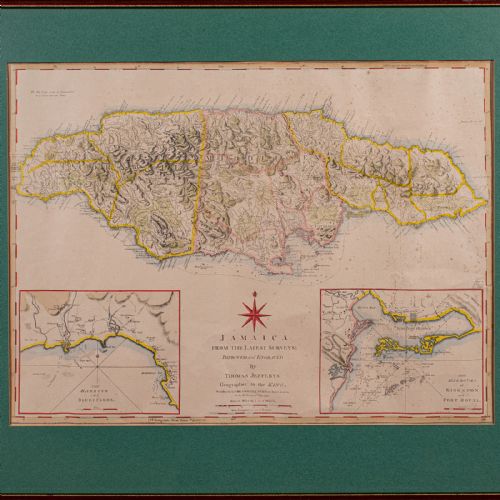
Improved and engraved by Jefferys, geographer to George III
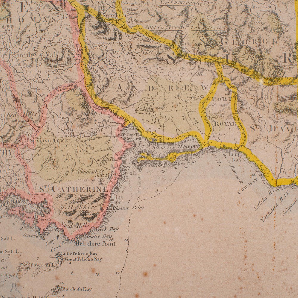
Hand coloured palette accentuates the map with regional borders
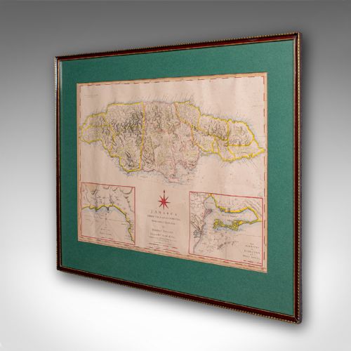
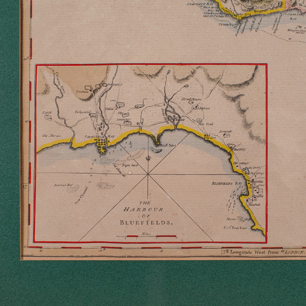
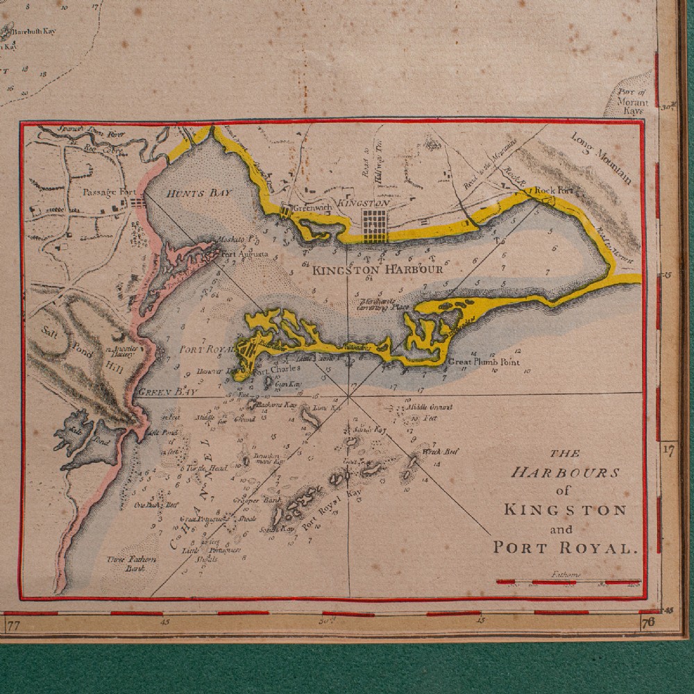
Harbour maps of Bluefields, Kingston and Port Royal add further local interest
Distance scale is given in Statue Miles and Sea Leagues respectively
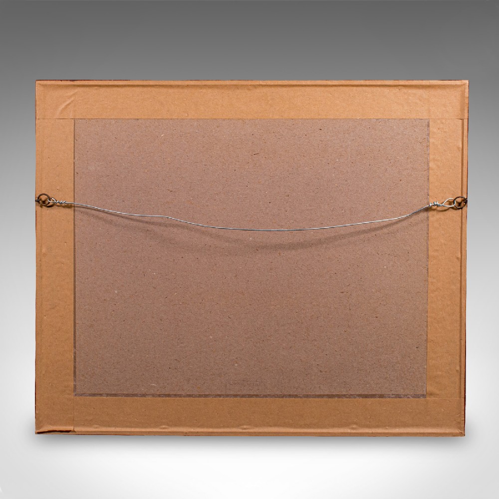
Dressed to the rear with hanging wire for ease of mounting
This is a quality antique Jamaica map, with fine cartographic interest and a quality engraving of Speed’s work. Delivered ready to display.
Dimensions:
Max Width: 55cm (21.75'')
Max Depth: 2cm (.75'')
Max Height: 45.5cm (18'')
Map Width: 43cm (17'')
Map Height: 32cm (12.5'')
London Fine Antiques has dated this Antique Framed Jamaica Map to the Georgian era.
Fine antiques curated in england and sold worldwide
You can view the stock and full dealer information on the London Fine Antiques Profile Page
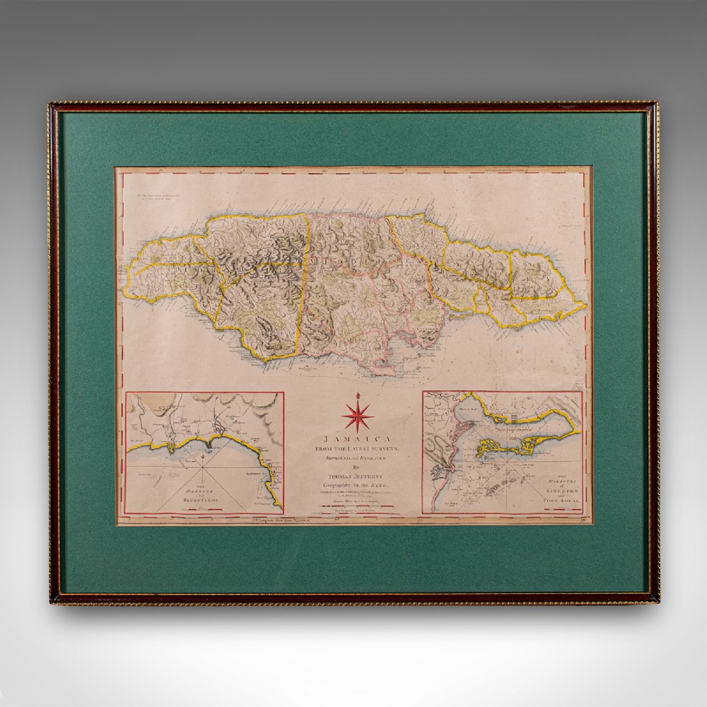
Antique Jamaica Map, English, Caribbean, Cartography, Thomas Jefferys, Georgian