









Framed Wall Map
A framed antique wall map brings historical cartography and decorative geography into a room, preserving centuries of printing and engraving traditions.
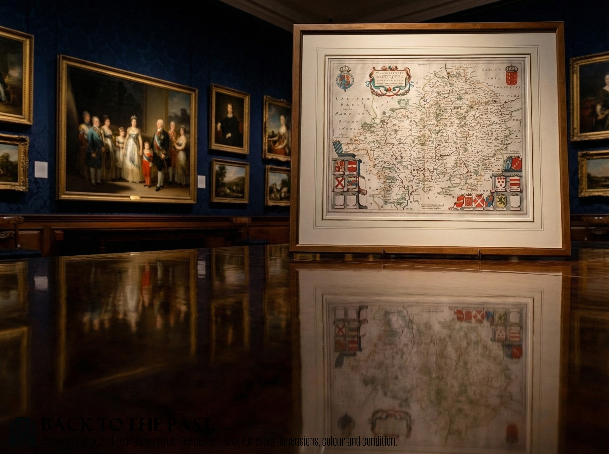
Framed Wall Map
A framed antique wall map represents historical geography produced across the seventeenth, eighteenth, and nineteenth centuries. These pieces encompass county surveys, regional road routes, town plans, and continental overviews.
Buyers commonly encounter English and Dutch cartography, including works originating from the Jacobean, Carolean, and Georgian periods. These items combine geographical documentation with decorative framing.
The selection ranges from detailed local county representations to broader continental map sampler works and atlas engravings preserved behind glass.
Materials and Production
Makers printed maps using ink on paper sheets, sometimes incorporating watercolour pigment or hand colouring applied directly to the surface. Linen backings occasionally provided structural support for folding or wall display.
Enclosures rely on wood, gilt wood, and gold leaf frames designed to hold protective glass over the paper document. Engraving plates transferred lines onto paper during the seventeenth century and subsequent eras.
Framed Wall Map Retail Price Guide 2026
Typical asking prices for framed wall map among the pieces listed under this phrase on Sellingantiques today, from the lower quarter to the upper quarter. They describe what is for sale here now, not the wider market.
Listings feature paper maps printed with ink and watercolour, housed within wood, gilt wood, and gold leaf frames under glass.
Quality Variations
Cartographic execution and plate definition distinguish the printing quality, separating standard atlas extractions from sharper impressions pulled early from the engraved metal plate. The clarity of the typography and crispness of the hand-applied ink lines influence visual impact.
Conservation standards and the preservation of the paper sheet determine the structural grade. Original margins, minimal fading of the watercolour wash, and stable integration within the wood or gilt frame maintain the integrity of the piece.
John Speed·Blaeu·Robert Morden·Johannes Janssonius·Thomas Kitchin·John Cary·Eman Bowen
The Framed Wall Map Glossary
- Cartography
- The study and practice of making maps. This discipline encompasses historical county surveys and town plans.
- Atlas
- A bound collection of maps or separate map sheets compiled into a volume. Many historical sheets originated inside such publications before framing.
- Engraving
- A printmaking technique where an artist cuts lines into a metal plate to hold ink. This method produced the sharp lines visible on early printed maps.
- County map
- A geographical representation focusing on a specific British administrative region or shire. These often feature decorative cartouches and local heraldry.
Framed Wall Map: Frequently Asked Questions
How do I identify the date of an antique map?
Examinations focus on the typography, Latin or English text, and cartographic details attributed to known publishers of the seventeenth and eighteenth centuries.
Reference guides and historical cartography records help match the specific county boundaries and decorative cartouches to known printing eras.
Were these maps originally designed for walls?
Many examples originated inside bound atlases or travel books rather than hanging on walls from the date of publication.
Later collectors and framers subsequently placed these paper sheets behind glass within wood or gilt frames for domestic display.
What is a county map?
A county map is a regional document detailing the settlements, roads, and topography of a specific shire or administrative area.
These pieces frequently display local topography alongside decorative borders and cartouches naming the cartographer.
How should I care for a framed paper map?
Protection from direct sunlight prevents the fading of ink, watercolour washes, and paper fibres over time.
Maintaining stable indoor humidity levels ensures the paper sheet and its wood frame remain free from moisture damage.