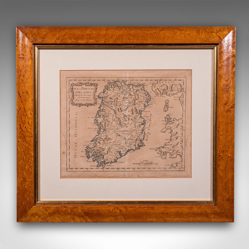
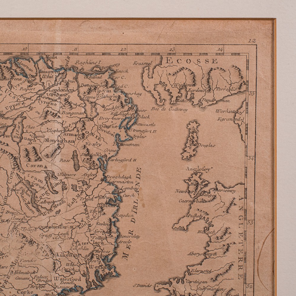
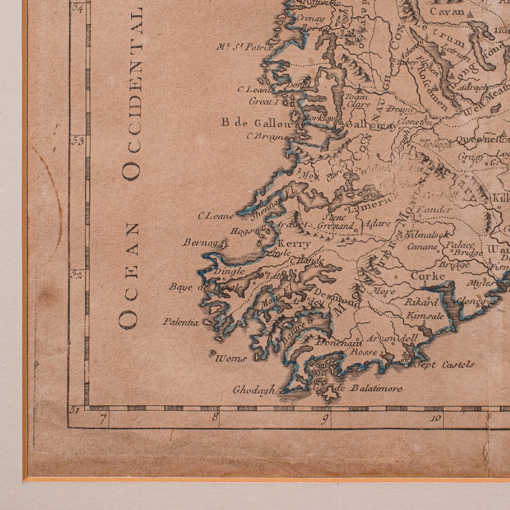
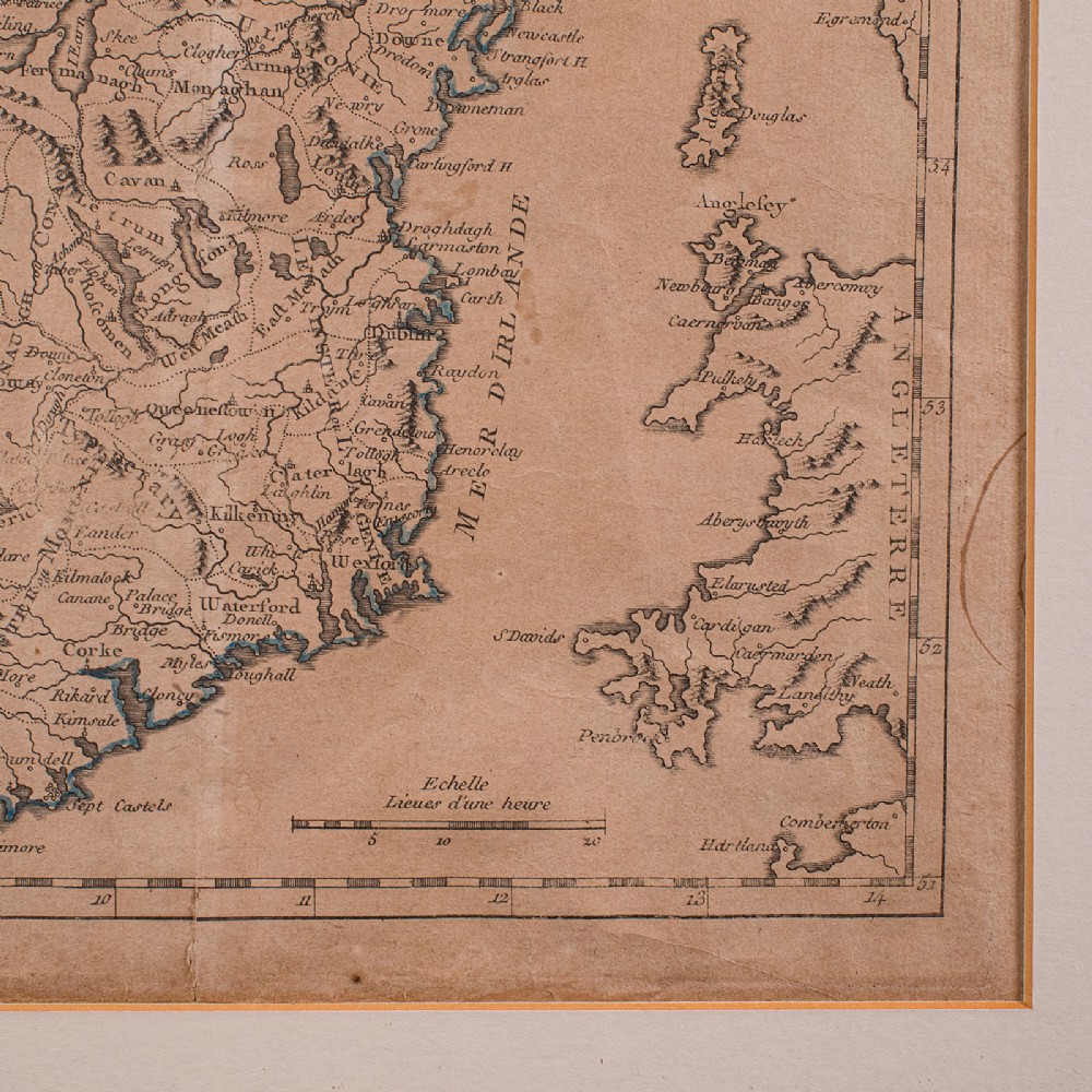
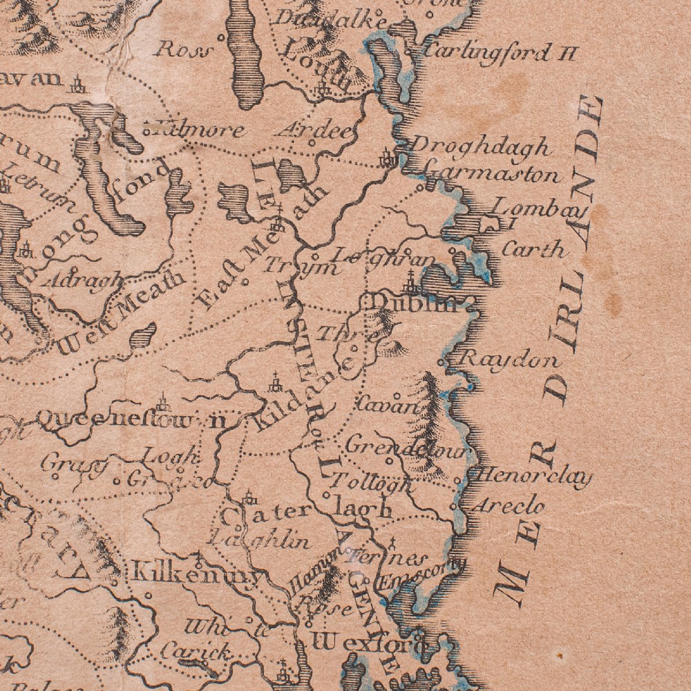
London Fine Antiques has dated this Georgian Framed Ireland Map to the Georgian era.
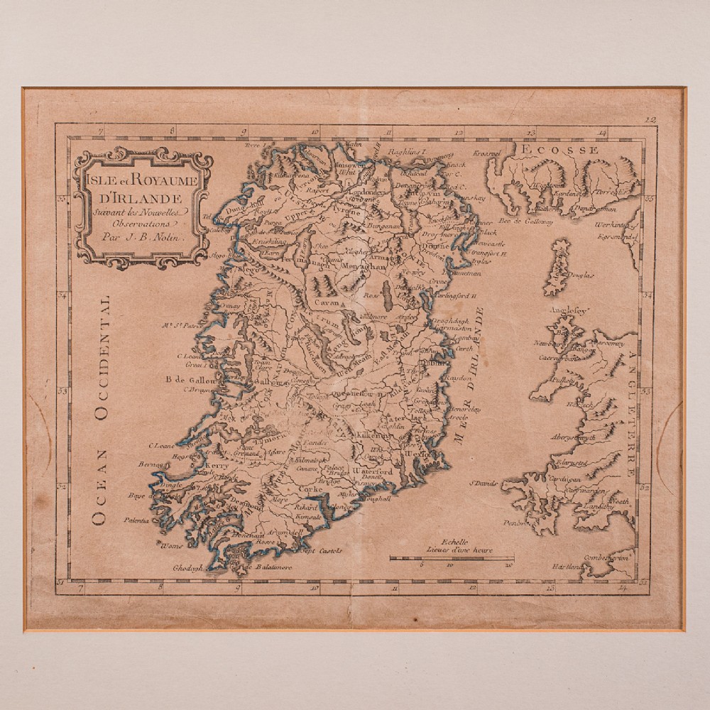
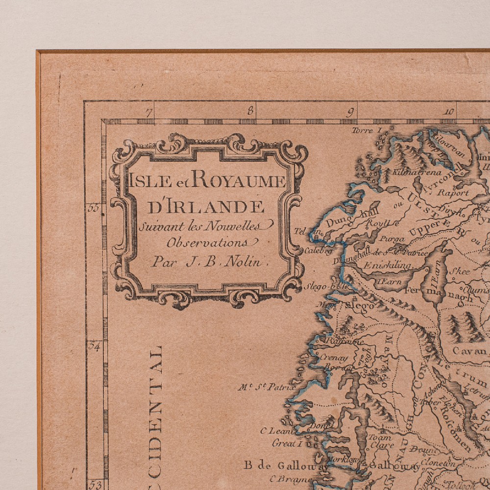
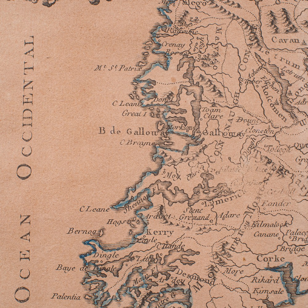
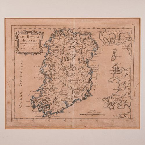
Full Title: Isle et Royaume D'Ireland, Suivant les Nouvelles - Observations Par J.B. Nolin.
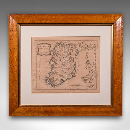
A precisely detailed, early 18th century national map, rich in historical and decorative appeal
Presents a desirable aged patina and presented in gently time worn order
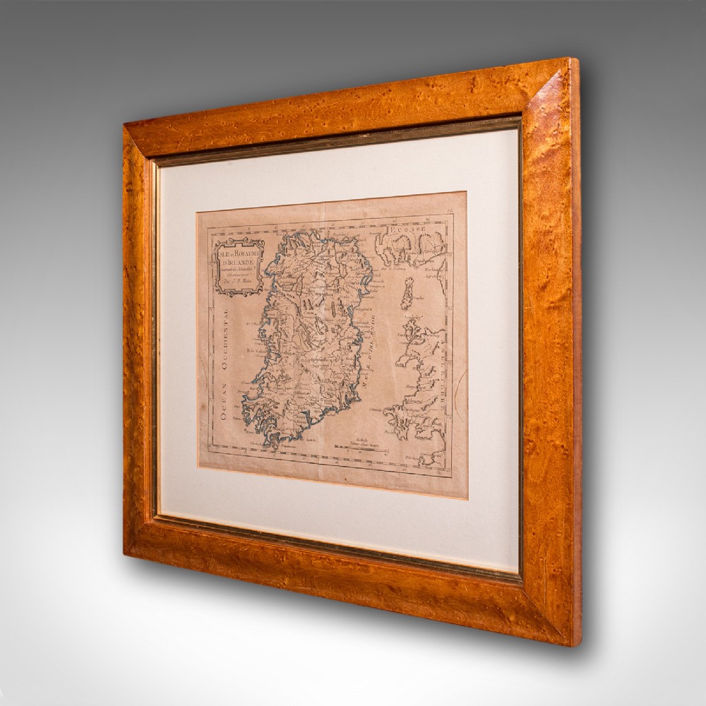
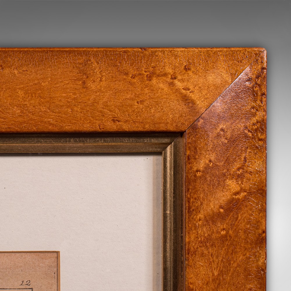
Displayed within a tasteful maple frame offering clear protective glazing
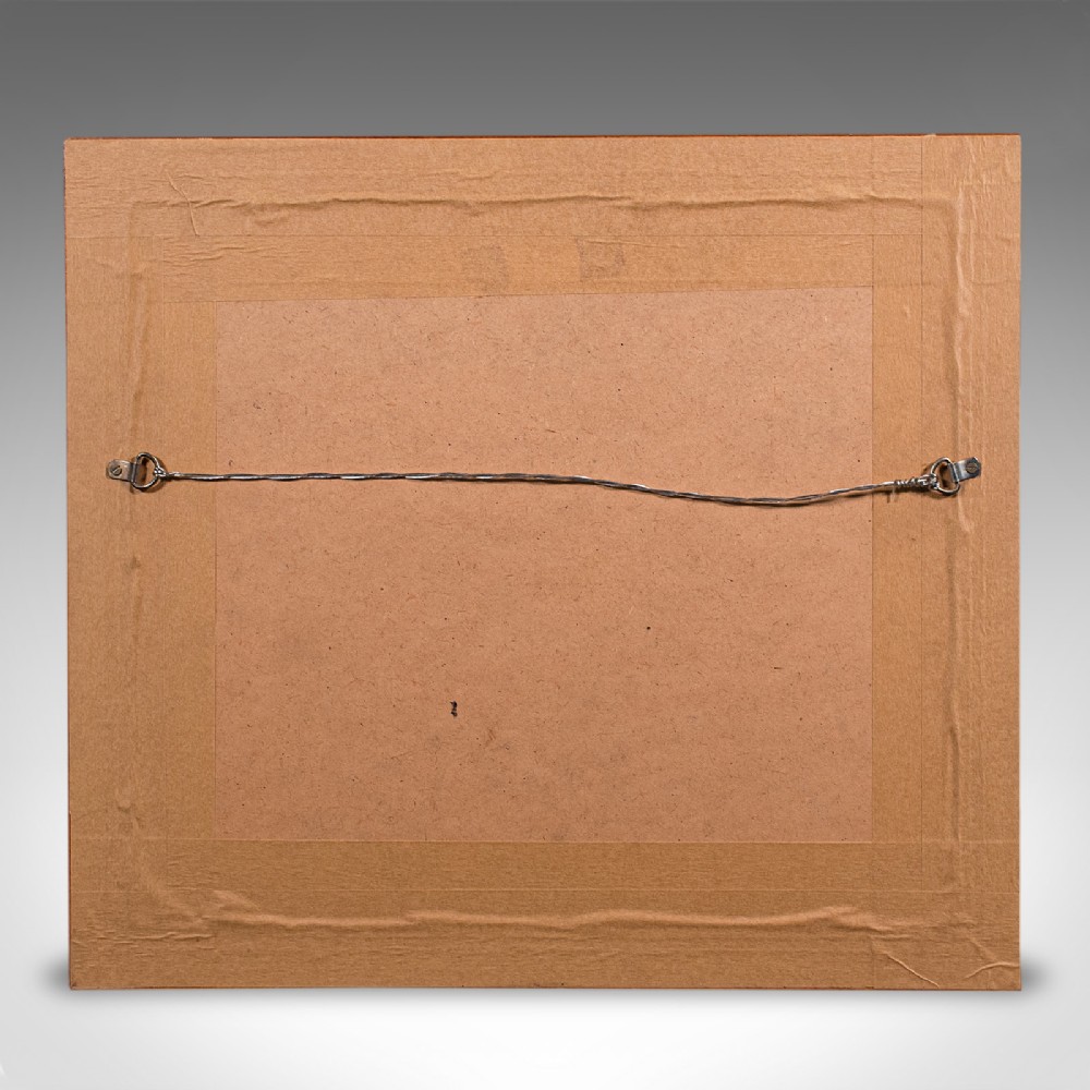
Dressed to the rear with hanging wire for ease of display
Jean-Baptiste Nolin (1657-1708) was a successful map maker in the late 17th century
Later atlas edition published posthumously by his eponymous son
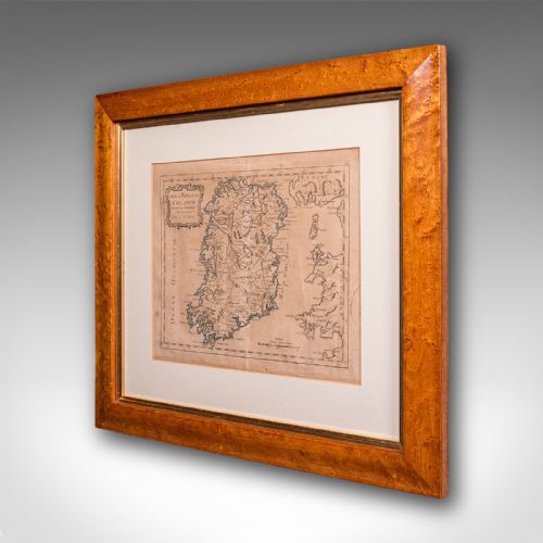
Detailed engraving with period place names and annotated in French
Wonderful decorative and informative interest for the Irish or a collector
This is a fascinating late 18th century Ireland map, a delightful atlas engraving published by the cartographer's son. Perfect for collectors of antique maps and national history. Delivered ready to display.
Dimensions:
Max Width: 47.5cm (18.75'')
Max Depth: 2cm (.75'')
Max Height: 42.5cm (16.75'')
Map Width: 28.5cm (11.25'')
Map Height: 23.5cm (9.25'')
London Fine Antiques has dated this Georgian Framed Ireland Map to the Georgian era.
Fine antiques curated in england and sold worldwide
You can view the stock and full dealer information on the London Fine Antiques Profile Page
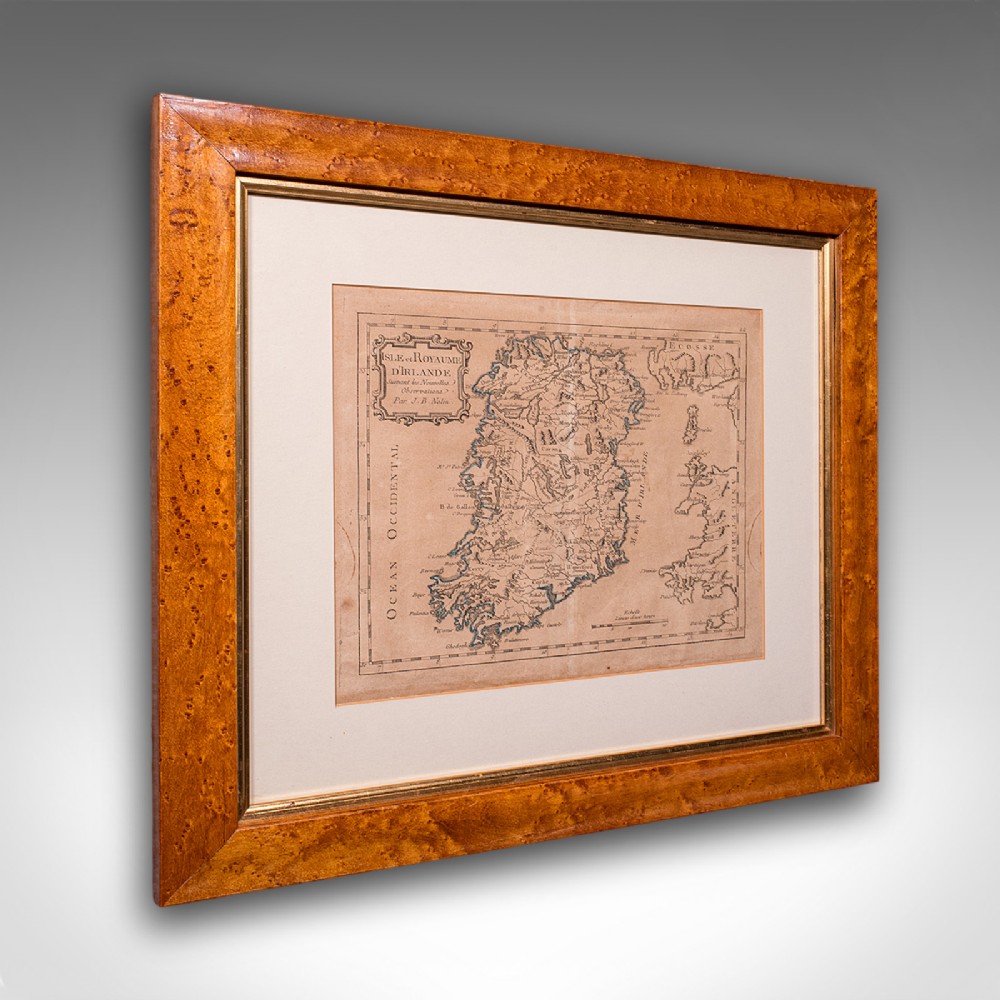
Antique Map of Ireland, French, Framed Cartography, Eire, Georgian, Circa 1780