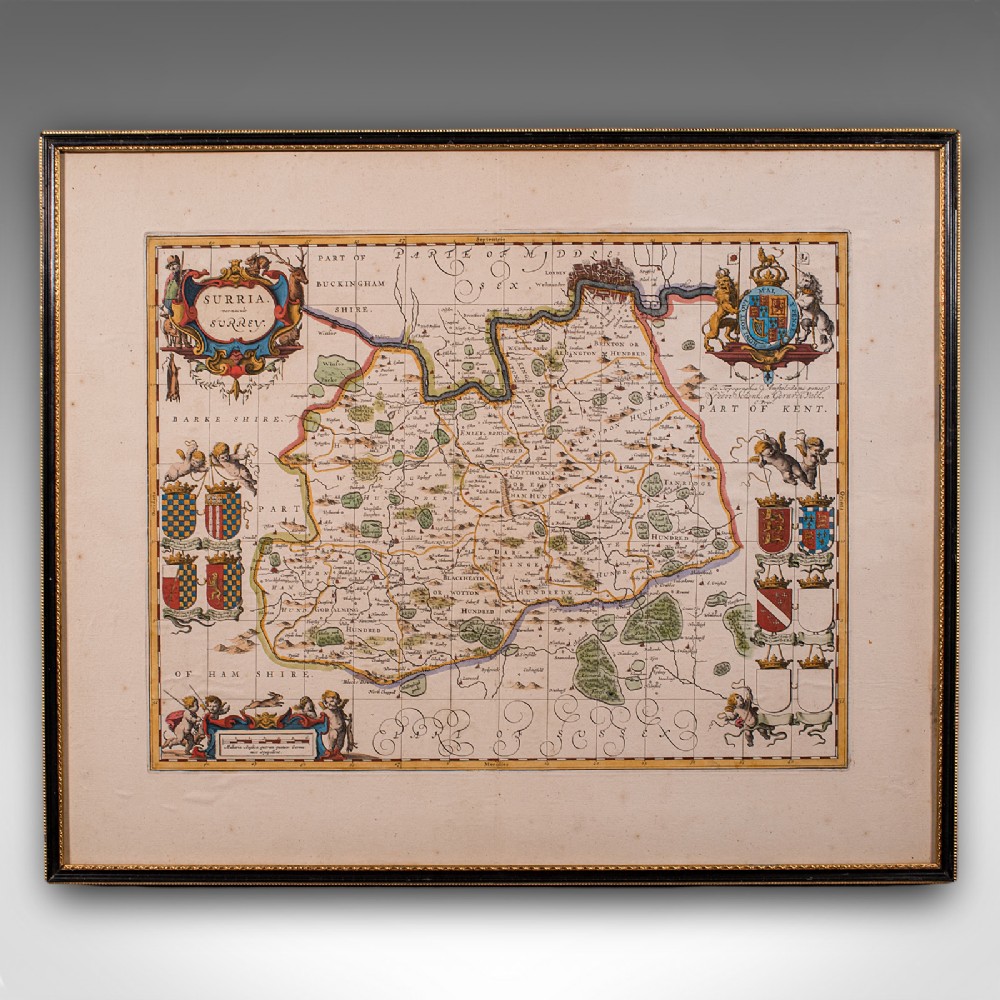
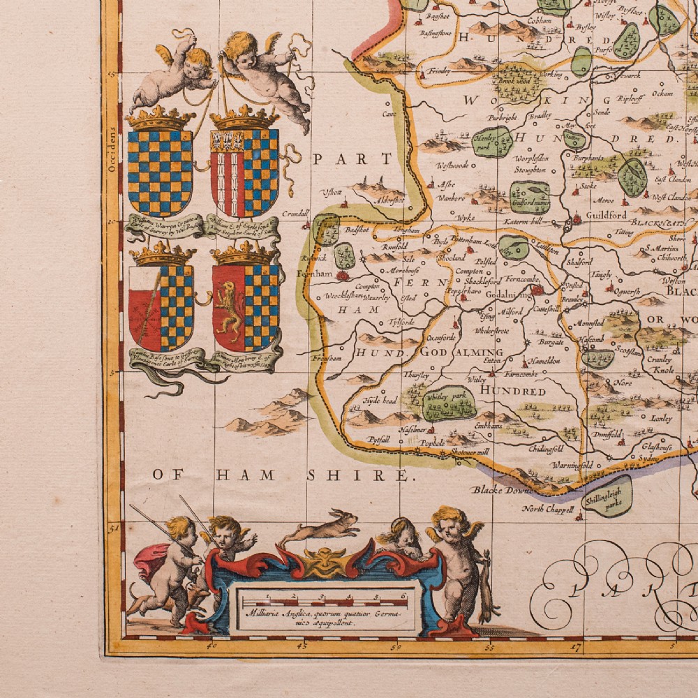
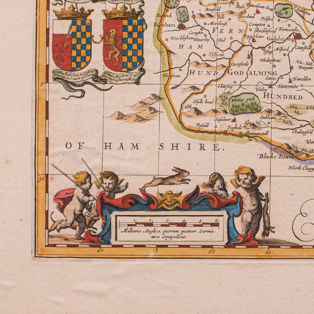
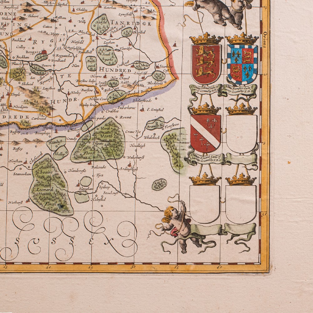
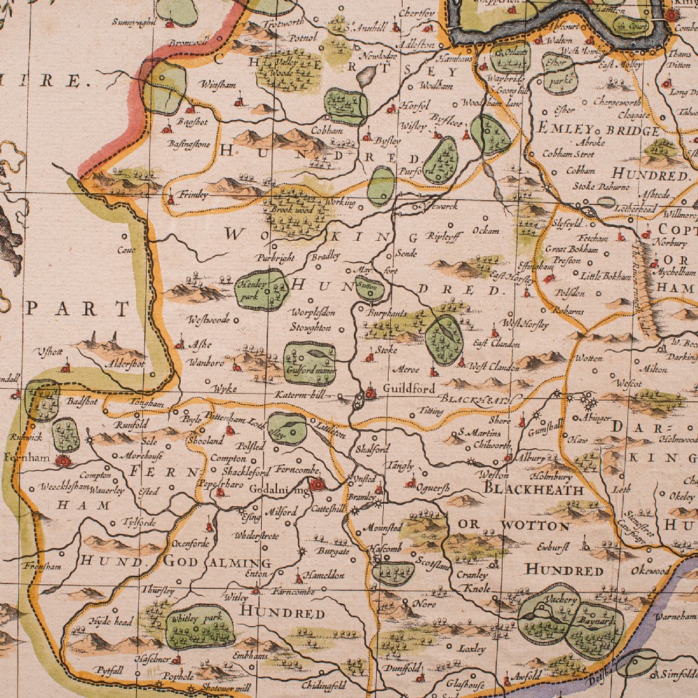
London Fine Antiques has dated this Antique Surrey County Map to the 17th Century.
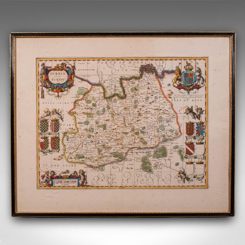
A finely detailed 17th century county map, rich in historical and decorative appeal.
Displays a desirable aged patina and in good order throughout
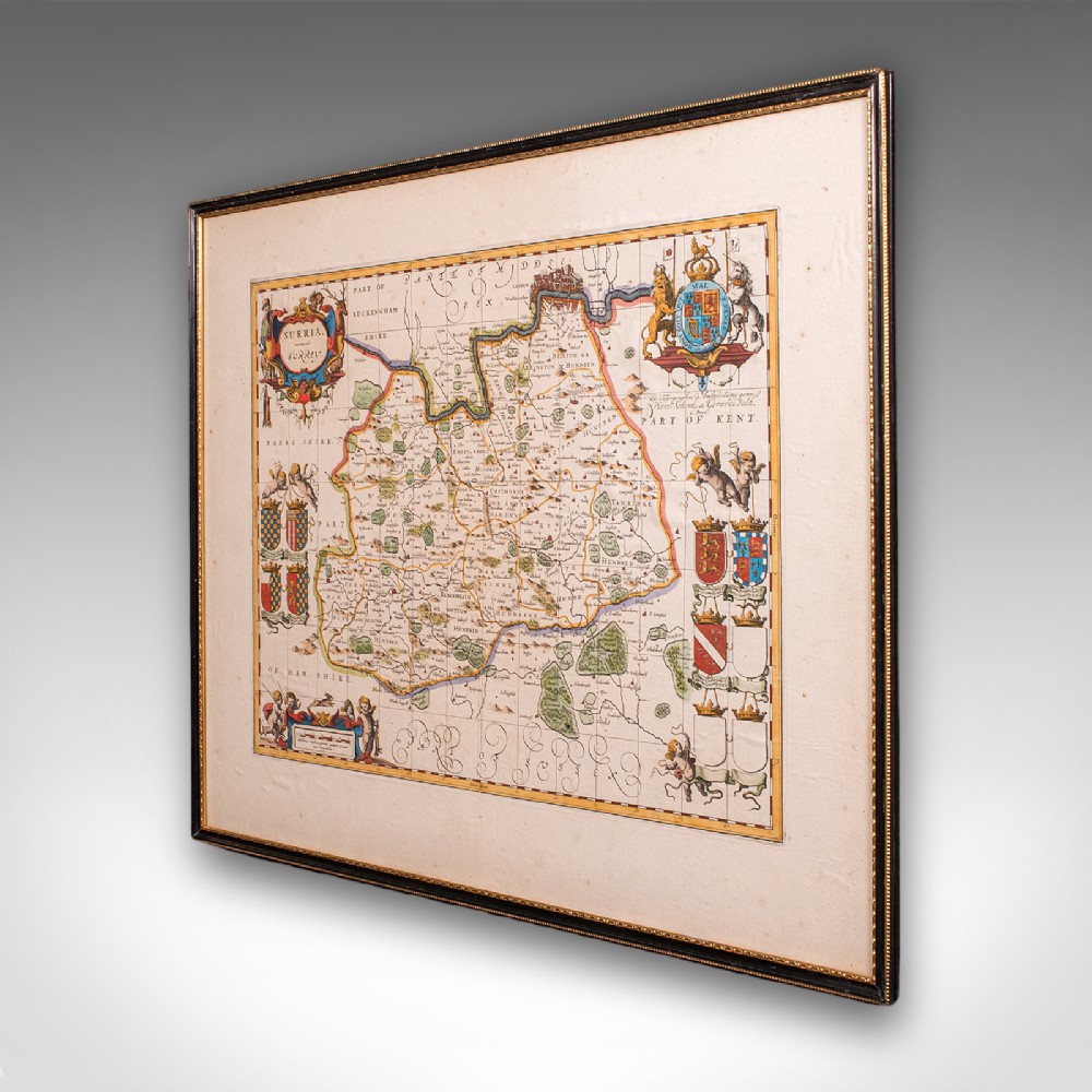
Presented within a tasteful later frame and mounted behind clear protective glazing
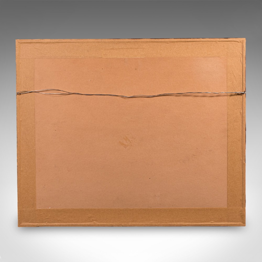
Dressed to the rear with hanging wire for ease of display
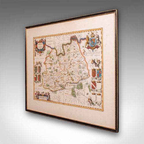
Centre fold edition after Willem Janszoon Blaeu, one of the foremost cartographers of the era
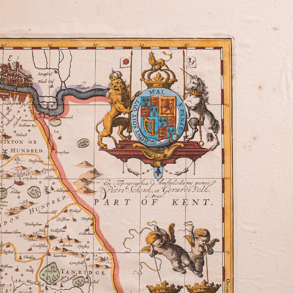
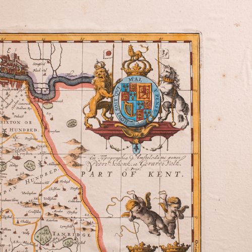
This copy published circa 1690 by Peter Schenk and Gerard Valk
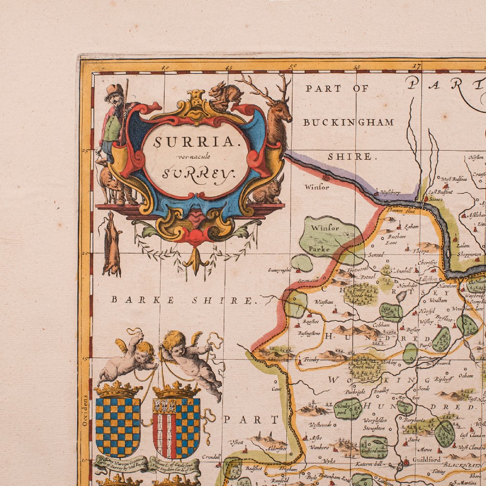
Presents the county as Surria in Latin, above the vernacular name 'Surrey'
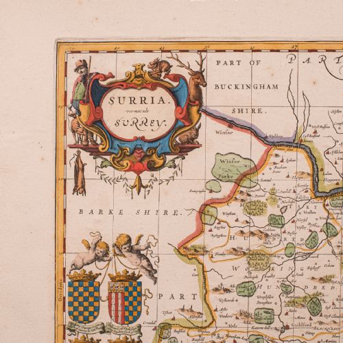
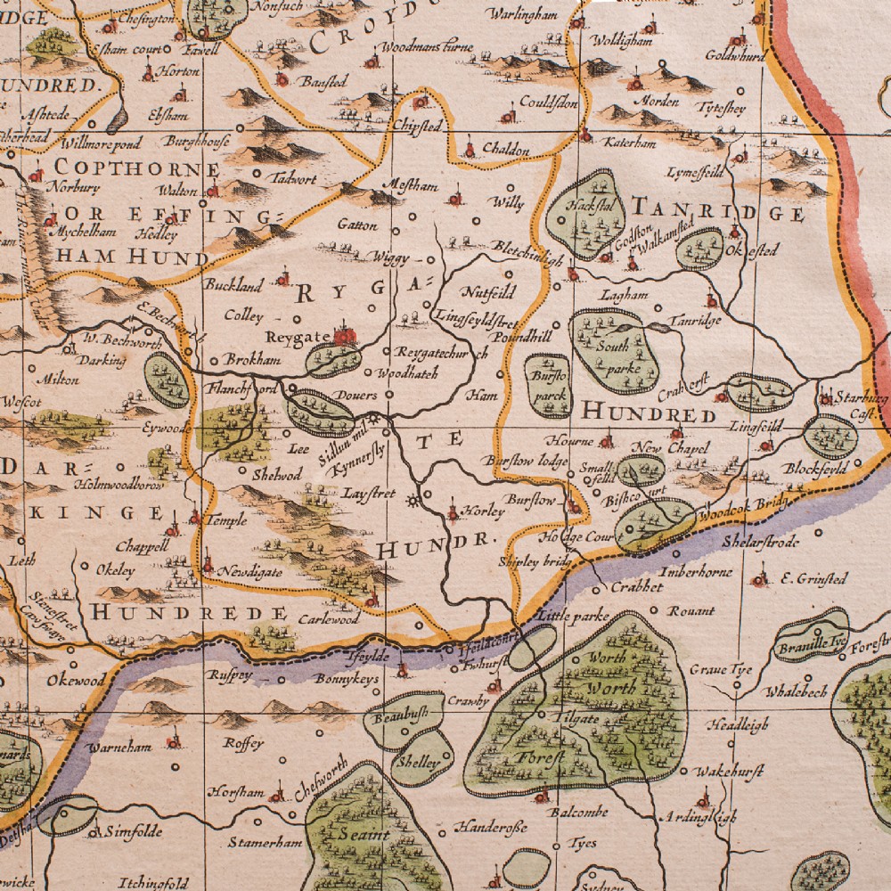
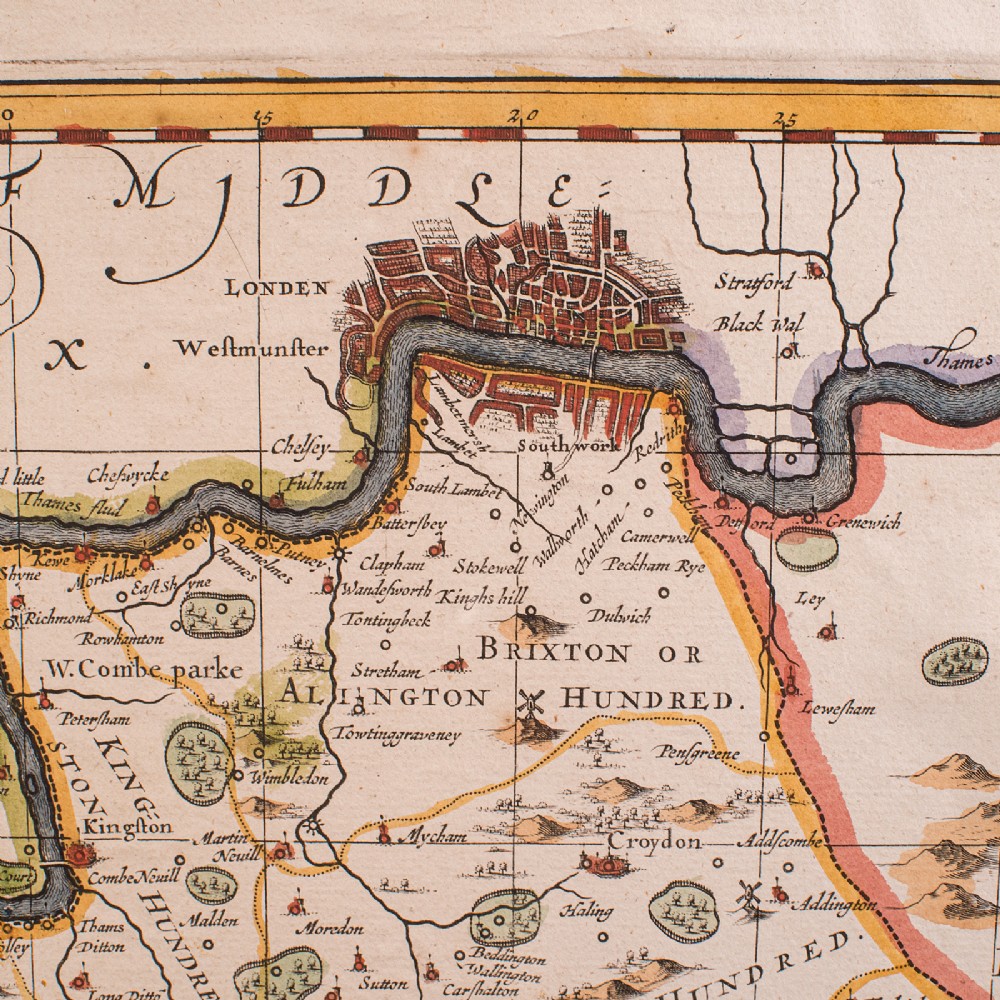
Detailed engraving with period place names and annotated in both Latin and English
Hand coloured throughout with vibrant and enduring tones
Decorative cartouche and heraldic motifs enrich the composition
Ideal for the study, library or country house interior
A superb late 17th century Surrey map, combining Blaeu’s renowned cartographic detail with decorative charm. Perfect for collectors of antique maps and regional history. Delivered ready to display.
Dimensions:
Max Width: 64cm (25.25'')
Max Depth: 1cm (.5'')
Max Height: 53cm (20.75'')
Map Width: 49cm (19.25'')
Map Height: 37.5cm (14.75'')
London Fine Antiques has dated this Antique Surrey County Map to the 17th Century.
Fine antiques curated in england and sold worldwide
You can view the stock and full dealer information on the London Fine Antiques Profile Page
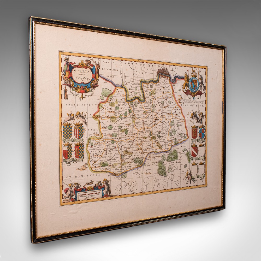
Antique Map of Surrey, English, Framed County Cartography, After Blaeu, C.1690