









Antique English County Map
These antique English county map examples trace shire boundaries from the seventeenth century onward, offering a framed piece of local history for the wall.
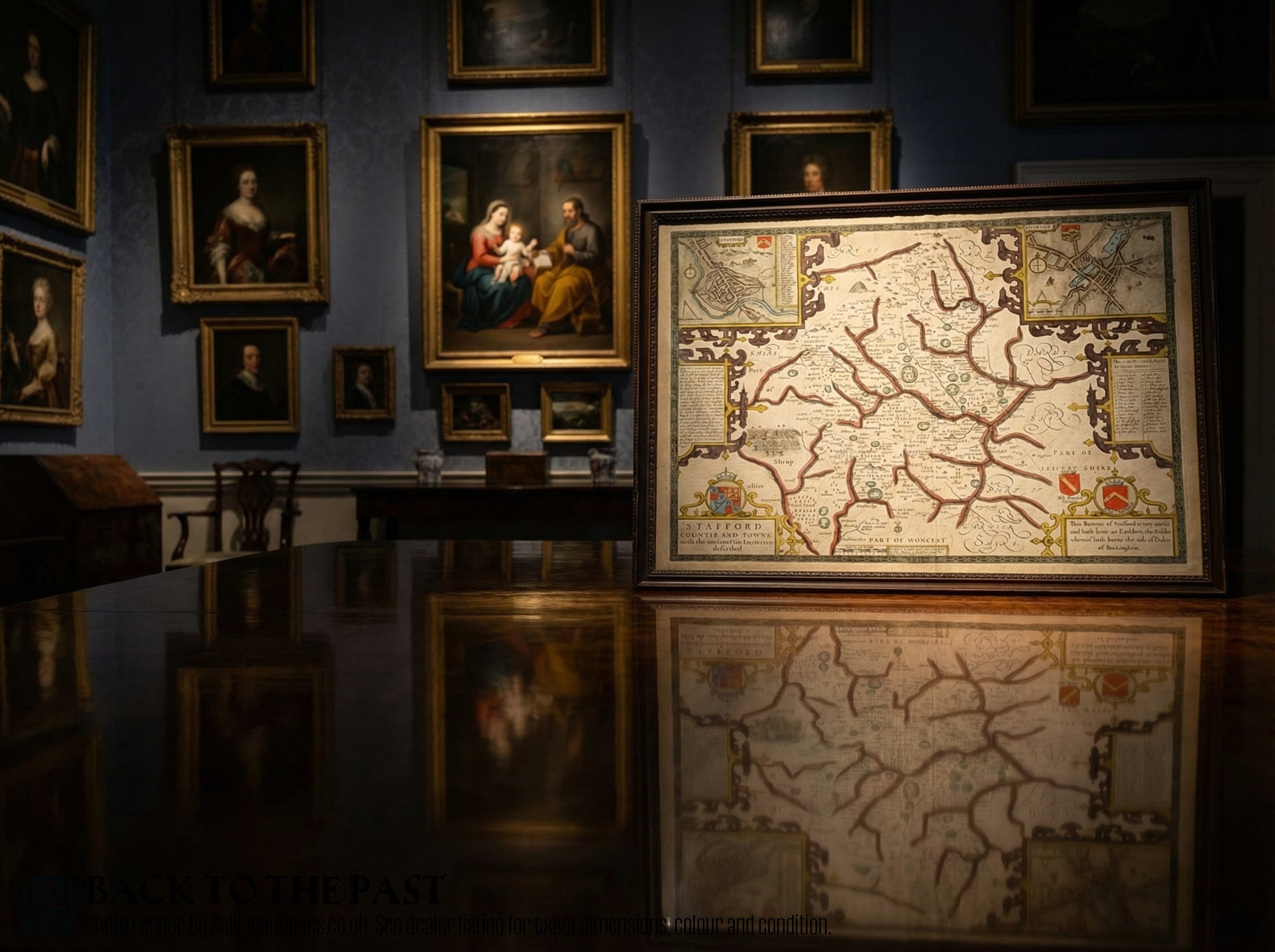
Antique English County Map
The selection on this page leans heavily toward seventeenth-century copperplate engravings and works by prominent cartographers like Robert Morden from the eighteenth century. Buyers encounter both regional maps with Latin text and later atlas engravings depicting individual counties across England.
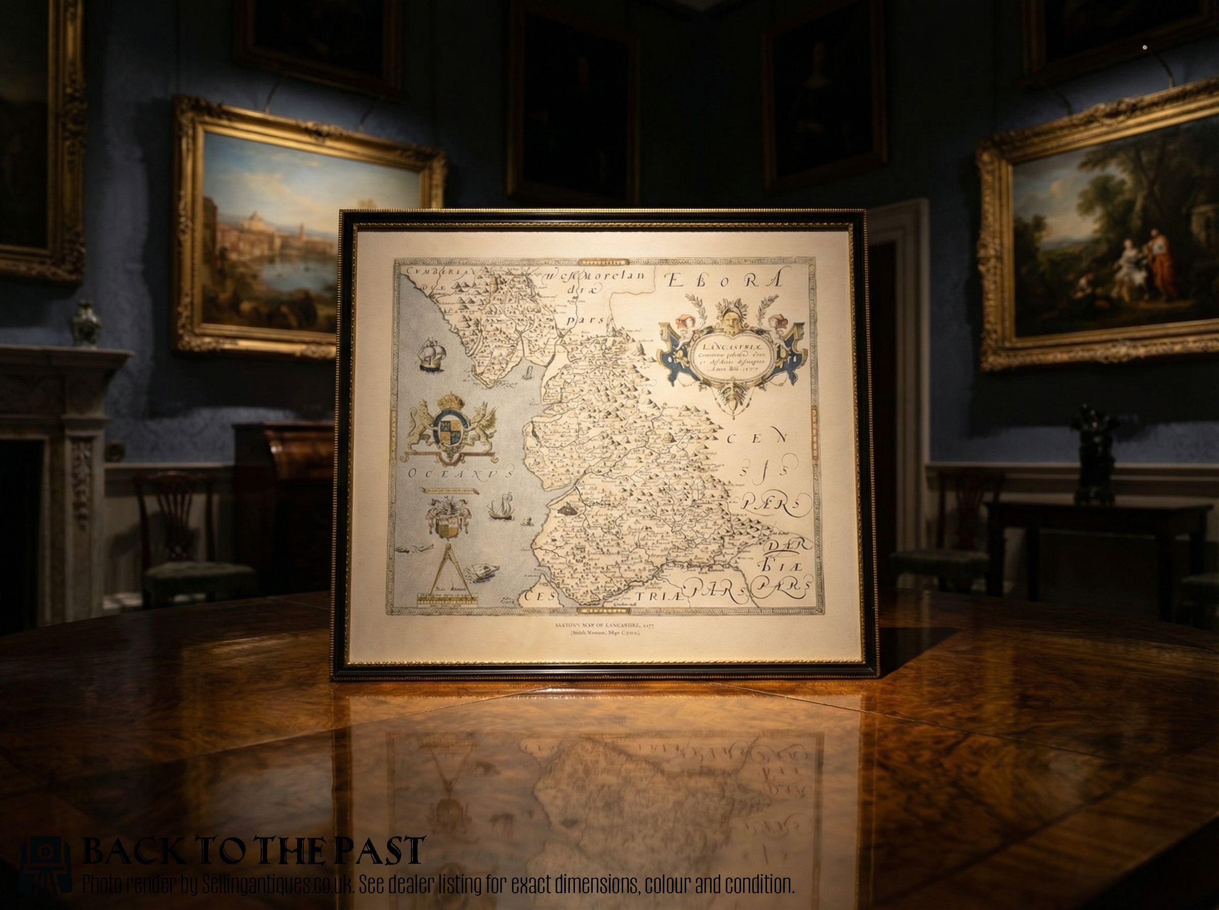
Materials and construction
Maker operations relied on paper sheets impressed with ink from engraved copper printing plates, sometimes enhanced later with watercolour washes or gold leaf highlights. Many examples arrive preserved behind glass within wooden frames, occasionally utilising oak or gilt wood mouldings.
Early production involved hand-colouring applied directly to the printed paper surface, while later nineteenth-century pieces introduced lithography techniques. These methods combine to create the textured appearance characteristic of antique cartography.
Antique English County Map Retail Price Guide 2026
Typical asking prices for english county map among the pieces listed under this phrase on Sellingantiques today, from the lower quarter to the upper quarter. They describe what is for sale here now, not the wider market.
Listings span periods from the seventeenth century through 1910, utilising paper, ink, watercolour, and oak frames.
Judging quality
Quality rests primarily on the clarity of the copperplate impression and the crispness of the engraved cartographic lines. Stronger impressions preserve fine details of topography and decorative cartouches without blurring.
The presence of early hand-colouring and the condition of the paper surface also distinguish finer examples. Original framing materials and well-preserved margins contribute further to the standing of a piece.
Blaeu·John Speed·Robert Morden·Thomas Kitchin·John Cary
The Antique English County Map Glossary
- Cartography
- The science or practice of drawing maps. In this context, it refers to the historical mapping of English shires.
- Atlas
- A bound collection of maps, though individual leaves extracted from these books often circulate separately as framed sheets.
- Copperplate
- A printing plate made from copper, used by cartographers to engrave fine map details before ink transfer.
- Cartouche
- An ornamental frame enclosing the map title, scale, or maker information, frequently decorated with heraldic devices.
Antique English County Map: Frequently Asked Questions
How are antique county maps dated?
Dating relies on the cartographer's active working dates, publishing plates, and stylistic indicators present in the engraving.
Changes in place names and county boundaries recorded on the paper provide further clues for determining the age of the sheet.
How should these maps be displayed?
Framed maps require placement away from direct sunlight to prevent the ink and paper from fading over time.
Maintaining stable indoor humidity levels helps protect the paper and wooden frames from environmental degradation.
What is a double-sided map?
Certain seventeenth-century map sheets feature engraved topography and text printed on both the front and reverse sides of the paper.
This format typically occurred when atlas pages contained descriptive text about the county on the back of the map.