







Hand Coloured Map
These hand coloured antique map examples bring centuries of cartography into modern rooms, offering genuine regional detail and period skill.
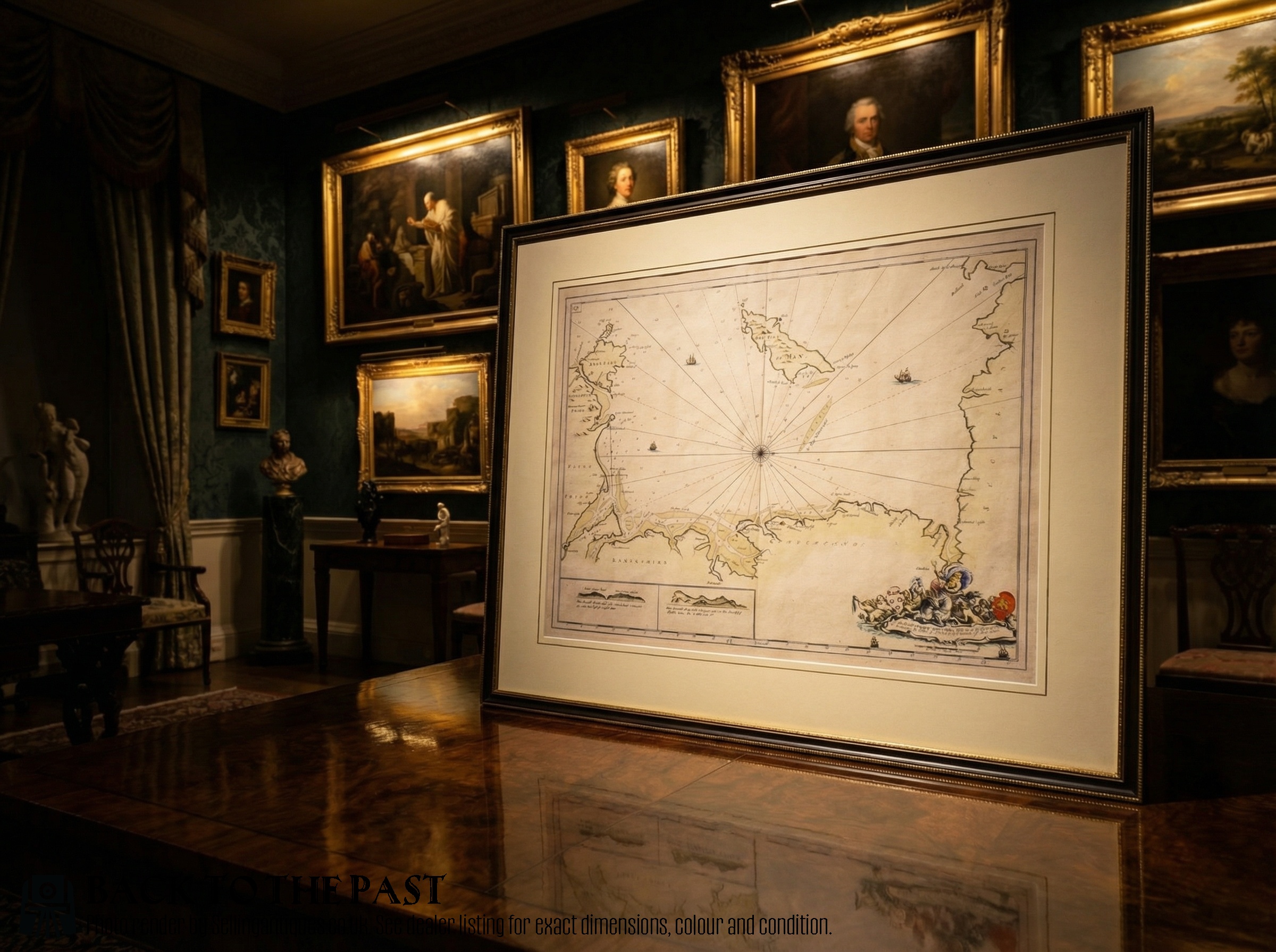
Hand Coloured Map
When you search for a hand coloured antique map, you are looking at geographic sheets produced from the seventeenth century through the Victorian era. These pieces record counties, countries, and entire continents as earlier generations understood them, often framed for wall display as wall art.
The selections available here include regional English and Scottish county surveys alongside broad continental overviews of North America, the Caribbean, and Europe. Forms range from simple framed paper sheets to double-sided county records and elaborate cartographic plates.
Most examples hail from the Georgian and Victorian periods, with significant seventeenth-century works representing early cartography. Buyers frequently encounter framed maps featuring distinct regional boundaries marked by hand applied watercolour washes.
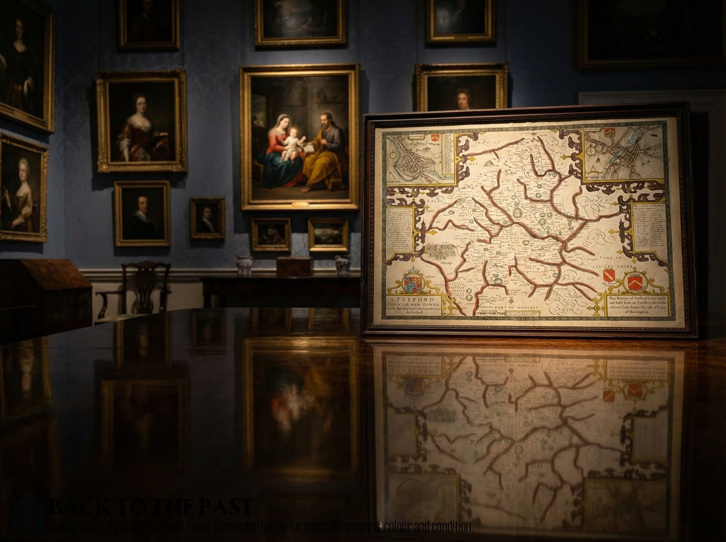
How they were made
Many survivors retain their original framing materials, incorporating wood and glass to protect the fragile paper underneath. Some finer examples feature subtle enhancements like gold leaf, elevating the decorative status of the cartographic sheet.
Hand Coloured Map Retail Price Guide 2026
Typical asking prices for hand coloured map among the pieces listed under this phrase on Sellingantiques today, from the lower quarter to the upper quarter. They describe what is for sale here now, not the wider market.
Materials across these listings include paper, wood, glass, ink, gold leaf, and watercolour.
What varies in quality
Quality in these works rests heavily on the clarity of the printed line and the precision of the applied watercolour washes. Finer examples display crisp typography and vibrant pigments that have aged with stability across centuries.
The reputation of the cartographer or publisher also shapes the standing of a piece, alongside the preservation state of the paper and any associated framing. Early works with clear provenance and strong visual detail command deeper interest from serious collectors.
Robert Morden·Colton·John Speed·BR Davies
The Hand Coloured Map Glossary
- Cartography
- The study and practice of making maps. This discipline forms the foundation of every geographical sheet handled here.
- Cartouche
- A decorative frame or medallion on a map enclosing the title, scale, or publisher details. These artistic elements often showcase the prevailing style of the period.
- Engraving
- A printmaking technique where an image is incised onto a metal plate. This method allowed cartographers to produce fine, permanent lines for printing.
- Watercolour
- A paint consisting of pigment suspended in a water-based solution. Artisans used this medium to apply colour by hand to printed maps.
Hand Coloured Map: Frequently Asked Questions
How should I hang my map?
Keep framed paper pieces away from direct sunlight to prevent the watercolour pigments and paper support from fading over time. Stable indoor humidity also protects the fragile organic materials used in early framing.
Ensure the wall fixings match the weight of the wood and glass frame to secure the piece safely.
Are these maps genuine originals?
The pieces listed derive from the specific periods stated, ranging from seventeenth-century cartography to Victorian surveys. Each item represents historical printing and hand colouring methods of its era.
Examine the paper texture, ink impression, and pigment application to understand the authentic age of the work.
Why are some maps double sided?
Early book production and atlas compilation often involved printing text or maps on both sides of a single sheet to economise materials. This practice means certain county surveys present geographical information on the reverse.
Framing these pieces sometimes requires special consideration to allow visibility of both sides.
What periods do these pieces cover?
The inventory spans the seventeenth century, the Georgian era, and the Victorian period. These timelines reflect major shifts in printing technology and geographical knowledge.
Earlier items capture seventeenth-century cartography styles, while later nineteenth-century pieces show expanded global mapping.