






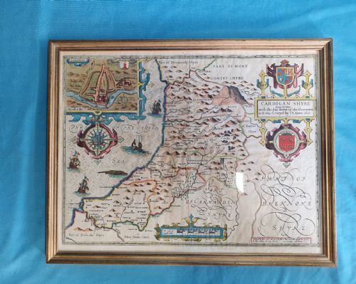
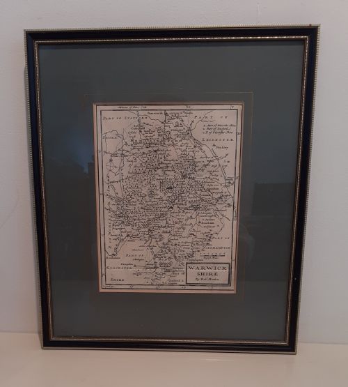

17th Century County Map
These 17th century county map pieces are hand-coloured or engraved works on paper showing English and Welsh regions that bring period cartography directly to your wall.
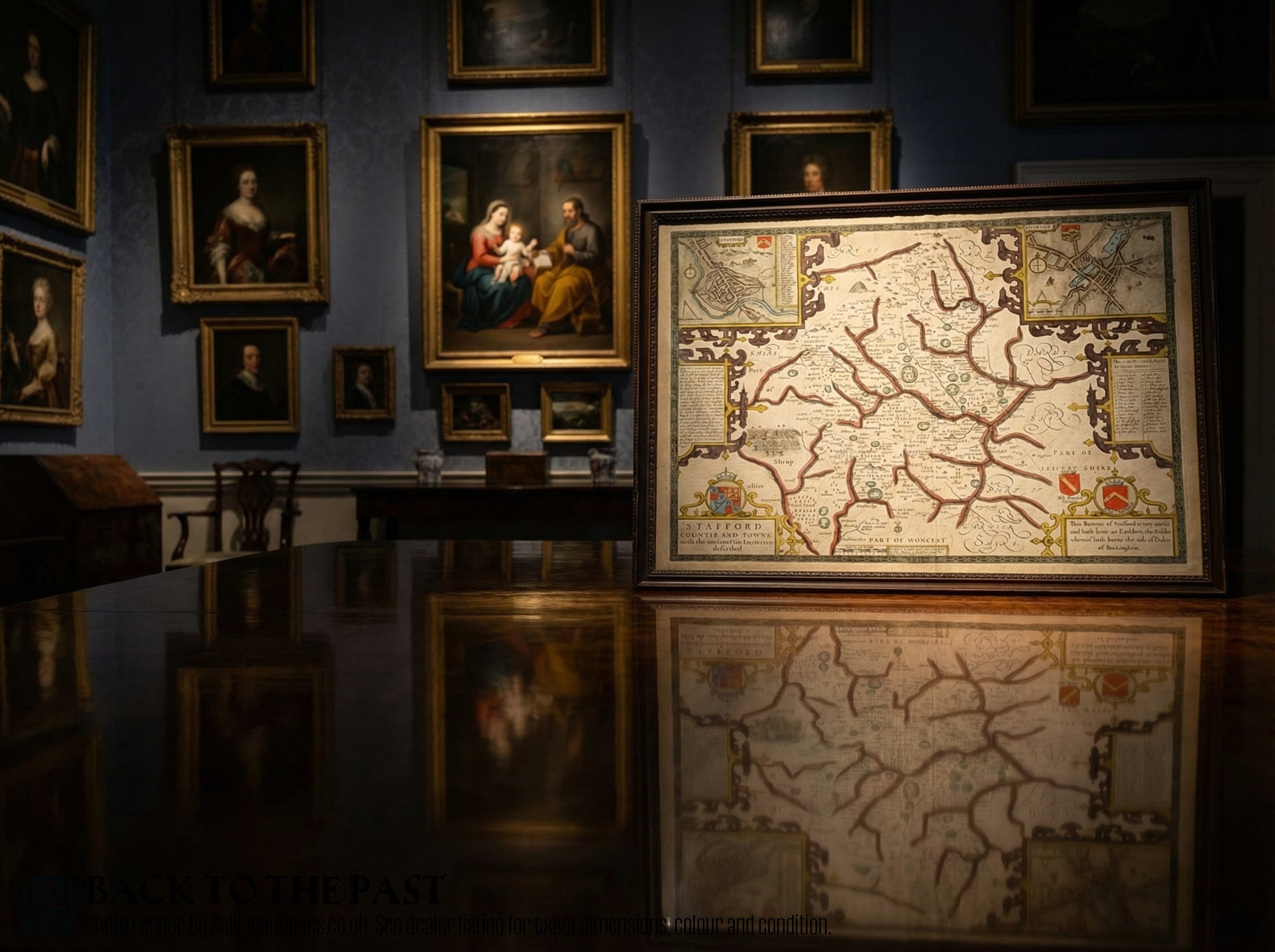
17th Century County Map
A 17th century county map shows specific English and Welsh shires as recorded by early cartographers and atlas makers. You are most likely to meet framed examples produced by Dutch or English publishers during the seventeenth century.
The selections include regional views such as Hertfordshire, Wiltshire, and Staffordshire, presented as framed cartography or atlas engravings. These pieces capture local geography alongside decorative cartouches and territorial boundaries of the period.
Makers such as John Speed, Blaeu, and Robert Morden dominate the offerings, providing both town plans and county boundaries. Each map reflects the specific survey methods and engraving styles typical of the 17th Century.
How they were made
The foundation of a 17th century county map is paper, printed from engraved copper plates using dark ink. Many examples incorporate hand-coloured pigments applied to highlight county borders, towns, and decorative heraldic shields.
Finishing treatments involve timber frames, often utilising oak or gilt wood alongside glass to protect the delicate paper surface. Gold leaf occasionally appears on frames, while some sheets retain text printed on the reverse side.
Listings feature paper, oak, glass, and gold leaf materials across 17th Century and Carolean periods.
What varies in quality
Quality in a 17th century county map rests on the clarity of the copper plate impression and the precision of the contemporary or later hand-colouring. Sharp lines and well-preserved margins distinguish superior print runs from worn impressions.
The condition of the paper surface and the integrity of the framing materials also shape the standard of the piece. Intact Latin text on the reverse and vibrant, stable pigments elevate the overall character of the cartography.
Blaeu·John Speed·Ogilby·Robert Morden·Janssonius·Christopher Saxton·Richard Blome
The 17th Century County Map Glossary
- Cartography
- The science or practice of drawing maps. In this context, it refers to the engraved geographic plates produced in the seventeenth century.
- Atlas engraving
- A map printed specifically for inclusion in a bound collection of maps. These plates often show distinct plate marks around the printed border.
- Cartouche
- A decorative frame enclosing the map title, scale, or dedication. These are frequently embellished with figures, animals, or heraldry characteristic of Dutch Golden Age design.
- Hand-coloured
- A map finished with watercolours applied by hand after the initial ink printing. This technique added visual distinction to county boundaries and major settlements.
- Latin text
- Descriptive letterpress printed on the reverse of certain maps. It provides historical context regarding the geography and history of the depicted shire.
17th Century County Map: Frequently Asked Questions
What is a 17th century county map?
A 17th century county map is an engraved paper sheet depicting English or Welsh shires, produced by cartographers during the seventeenth century.
These works were often published in atlases and later framed as wall art, showing regional boundaries, towns, and decorative cartouches.
How were these maps used originally?
Originally, these maps served administrative, educational, and navigational purposes within bound atlases for wealthy patrons and scholars.
They allowed viewers to study local geography, estates, and transport routes across Britain during the Carolean and Jacobean periods.
How should I live with a framed map?
Display your framed cartography away from direct sunlight to protect the fragile paper and hand-coloured pigments from fading over time.
Ensure the room maintains stable humidity levels to preserve both the antique paper and the wooden or gilt frames.
How do I identify different cartographers?
Makers are typically identified by signature cartouches, typography styles, and the specific decorative borders surrounding the county illustration.
Examining the text printed on the reverse or the style of the engraving often reveals whether the work originates from Dutch publishers or English cartographers.