





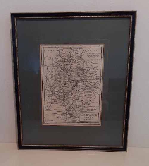


17th Century Map
These 17th century map pieces offer a tangible window into early cartography, prized by collectors for their historical detail and decorative impact.
17th Century Map
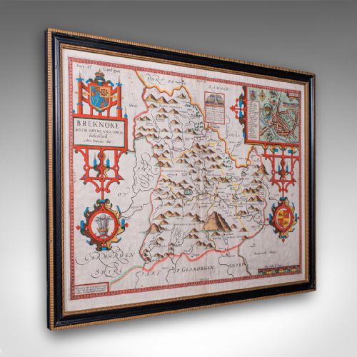
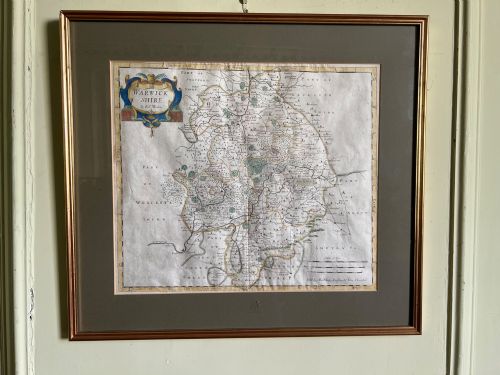
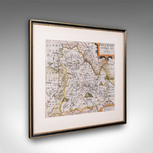
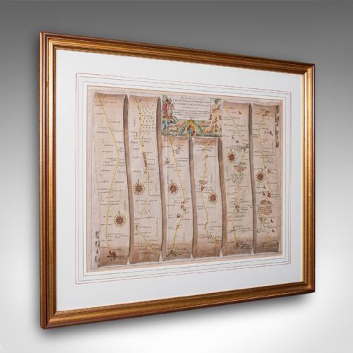
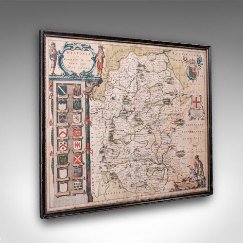
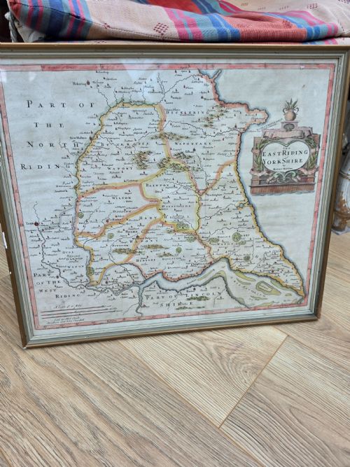
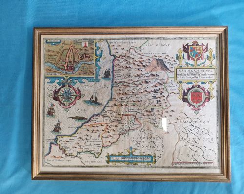
A 17th century map presents early geographical knowledge through intricate copperplate engravings, often depicting counties, countries, and coaching routes. When exploring this selection, buyers most frequently encounter framed cartography originating from English and Dutch workshops, spanning the seventeenth century and adjacent periods.
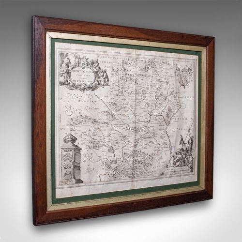
The inventory showcases various distinct formats, including county maps, atlas engravings, and detailed road maps. Pieces frequently highlight specific regions such as Hertfordshire, Staffordshire, and distant territories like New Netherlands.
These works function primarily as wall art, preserved behind glass within wooden frames, including gilt wood and oak examples. Collectors select these items to anchor a room with period authenticity and scholarly depth.
Materials and production methods
Makers produced these works using ink printed onto laid paper from engraved copper plates. Many examples incorporate hand-applied watercolour washes and gold leaf accents to delineate boundaries, decorative cartouches, and heraldic crests.
Finishing techniques involved mounting the delicate paper sheets onto supportive backing before framing them in timber mouldings such as oak or gilt wood, protected beneath glass.
17th Century Map Retail Price Guide 2026
Typical asking prices for 17th century map among the pieces listed under this phrase on Sellingantiques today, from the lower quarter to the upper quarter. They describe what is for sale here now, not the wider market.
The listings feature works from the 17th century, 18th century, and 1850, utilising paper, ink, oak, glass, and gold leaf.
Assessing quality in early cartography
Quality in a 17th century map rests upon the clarity of the plate impression, the precision of the engraving, and the vibrancy of any contemporary hand-colouring. Sharply defined typography and crisp lines indicate a superior impression pulled early from the copper plate before wear occurred.
The survival of generous paper margins and the original integrity of the sheet significantly elevate a piece. Finer examples retain their structural stability within period frames, presenting legible text in Latin or English alongside well-preserved cartographic details.
C. Ogilby·Blaeu·John Speed·Johannes Janssonius·Robert Morden·Christopher Saxton
The 17th Century Map Glossary
- Cartography
- The science or practice of drawing maps. This discipline flourished during the Dutch Golden Age and the seventeenth century, producing highly decorative and detailed geographical records.
- Atlas engraving
- A map printed from an engraved plate specifically for inclusion in a bound collection of maps. These plates required immense skill from the engraver to capture minute topographical details.
- Cartouche
- A decorative frame or tablet on a map enclosing the title, scale, or publisher details. Seventeenth-century cartouches frequently feature elaborate allegorical figures, animals, or coats of arms.
- Laid paper
- A type of handmade paper showing a fine grid texture when viewed against the light. This was the standard printing surface utilised by cartographers of the period.
- Hand-coloured
- A map finished with pigment applied by brush after the printing process. This technique enhanced the visual appeal and geographical clarity of county and regional maps.
17th Century Map: Frequently Asked Questions
What is a 17th century map?
A 17th century map is an original engraved sheet depicting geography, roads, or counties from the seventeen hundreds. These pieces served practical navigation and scholarly display.
Today, they survive as framed works of wall art reflecting early modern cartographic techniques and regional history.
How were these maps originally used?
Makers designed these items for bound atlases, reference study, and wall display by educated owners. Travellers utilised coaching road maps to navigate routes between towns.
Over time, many surviving sheets were removed from volumes, preserved behind glass, and framed for decorative interior display.
How do I live with antique maps?
Display these works on interior walls away from direct sunlight to protect the fragile paper and watercolours from fading. Ensure the room maintains stable humidity levels.
Pairing the framed map with traditional wooden furniture or period interior schemes enhances its historical character.
How can I tell periods apart?
Examine the paper type, typography styles, and cartographic conventions used across different decades. Latin text and ornate Dutch cartouches often point to mid-seventeenth-century production.
Publishers' names and specific regional spellings inscribed within the margins further help date the engraving accurately.