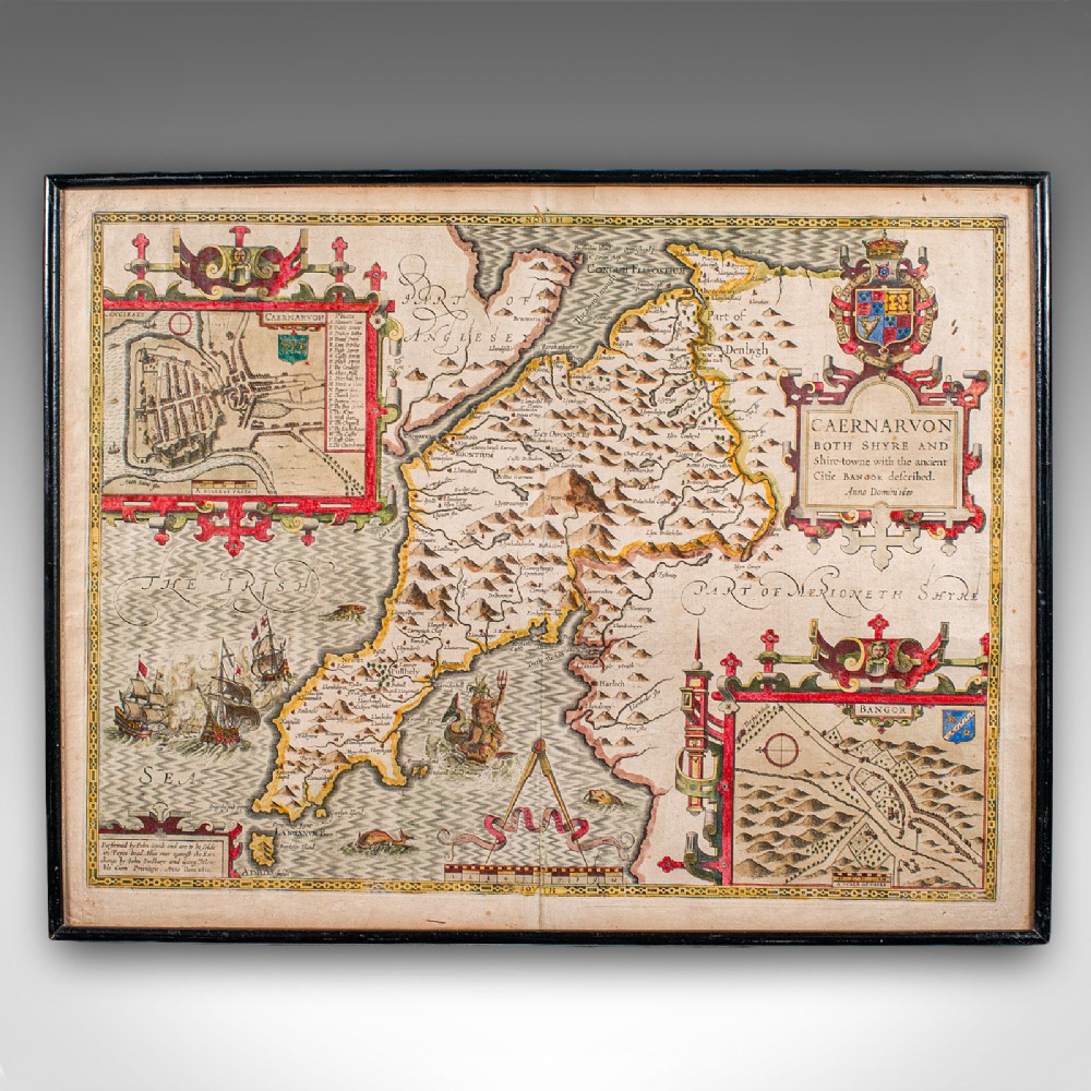
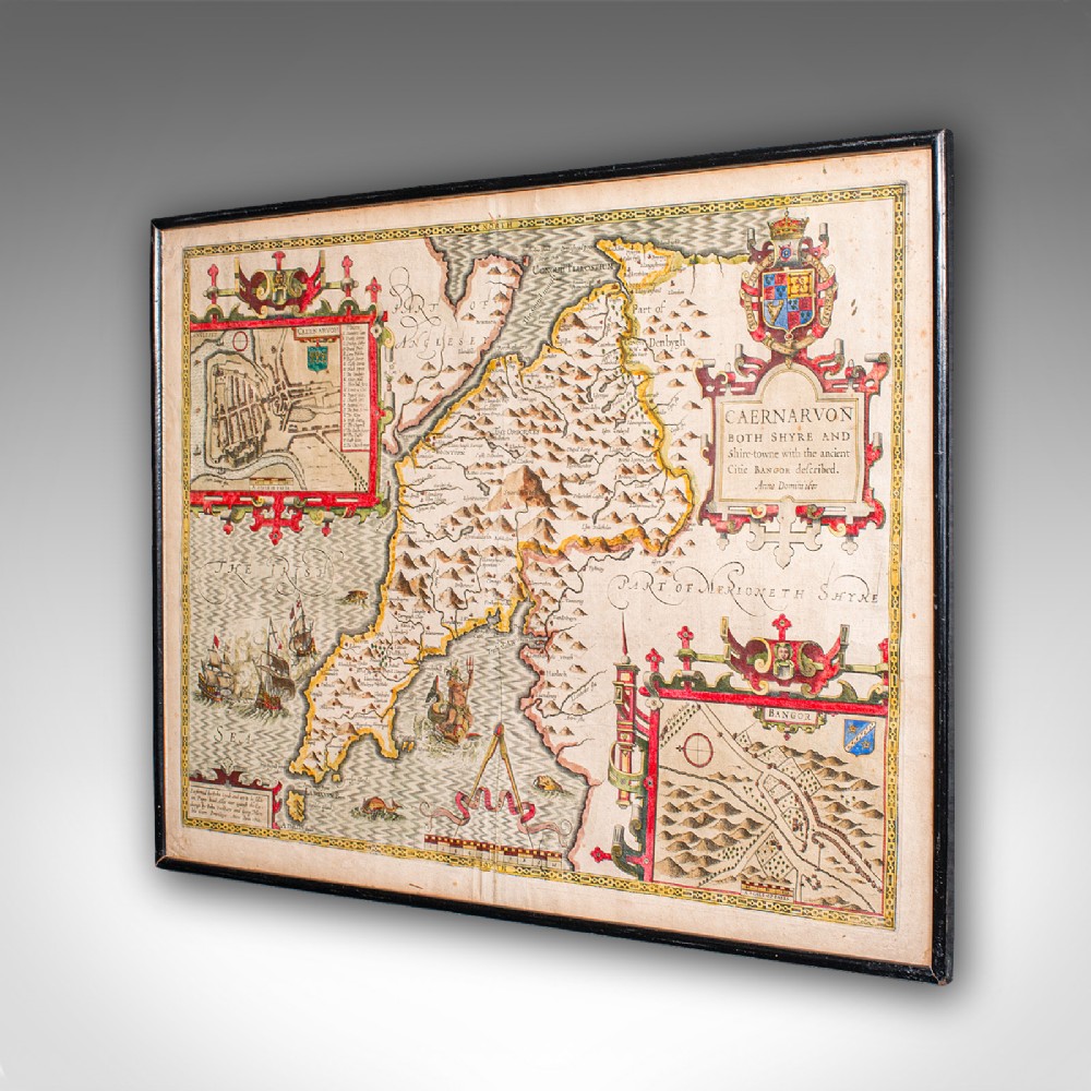
London Fine Antiques has dated this John Speed Caernarvon Map to the 17th Century.
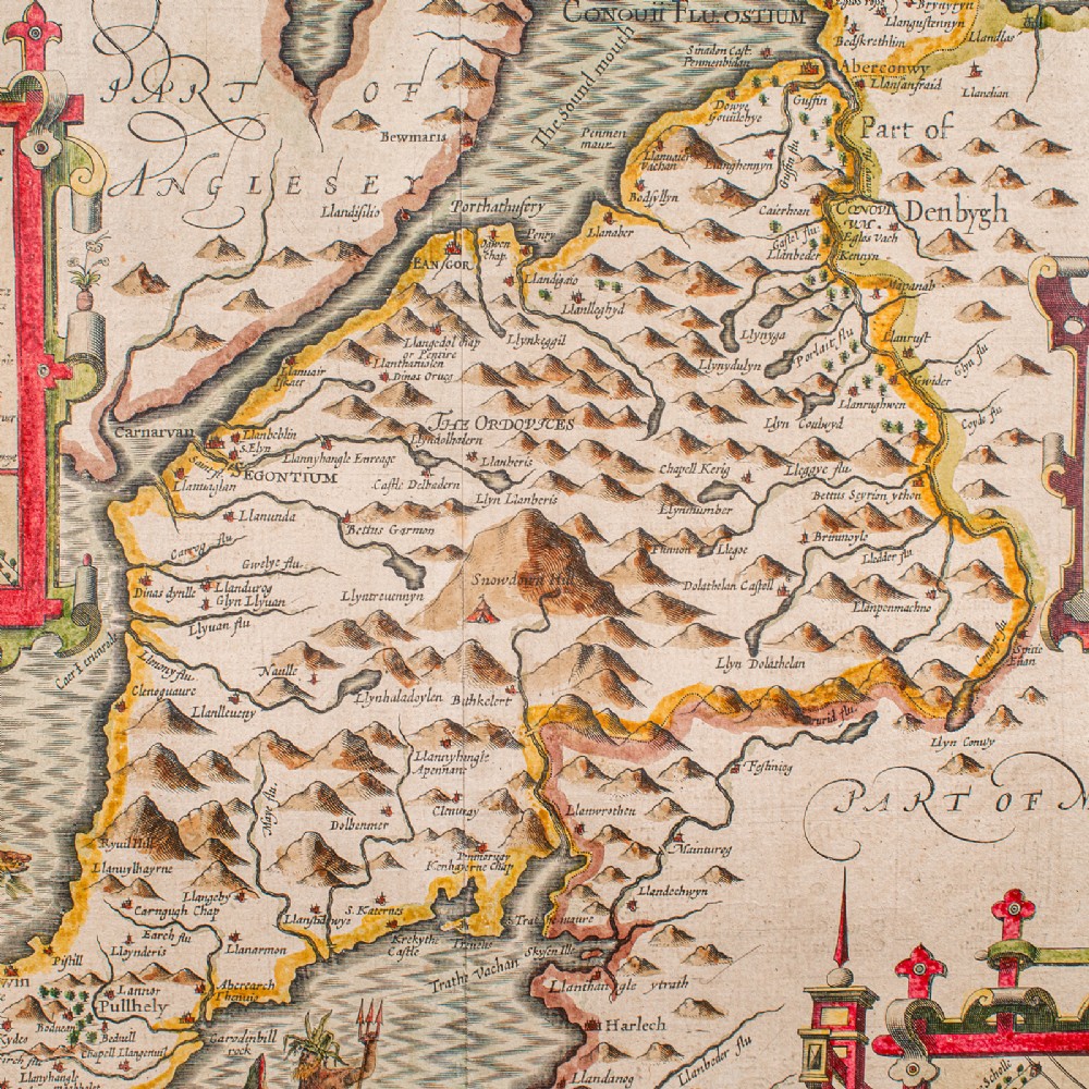
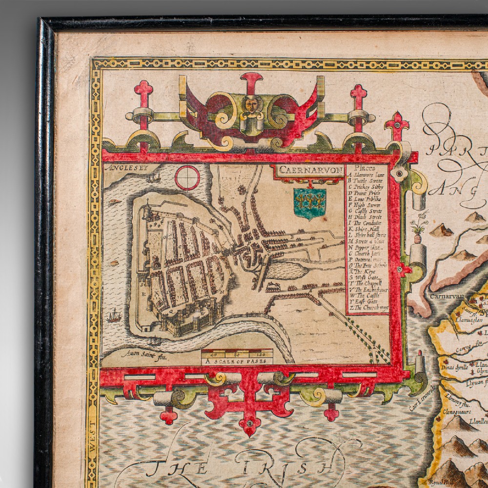
Superb cartography reproduction of Caernarvon town and shire - perfect for display
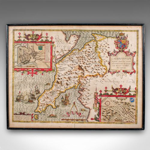
Displays a desirable aged patina and in good original order
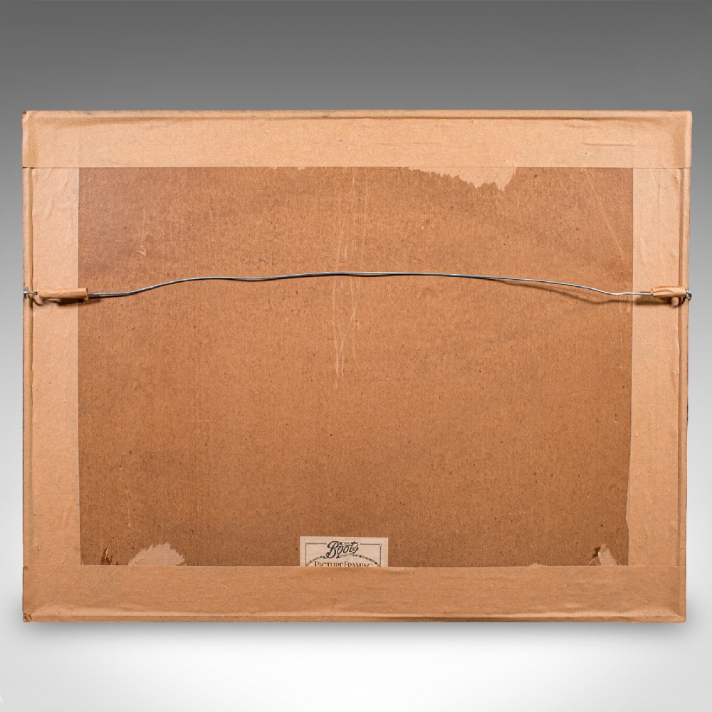
Fascinating cartography, framed in the mid-20th century with period Boots label
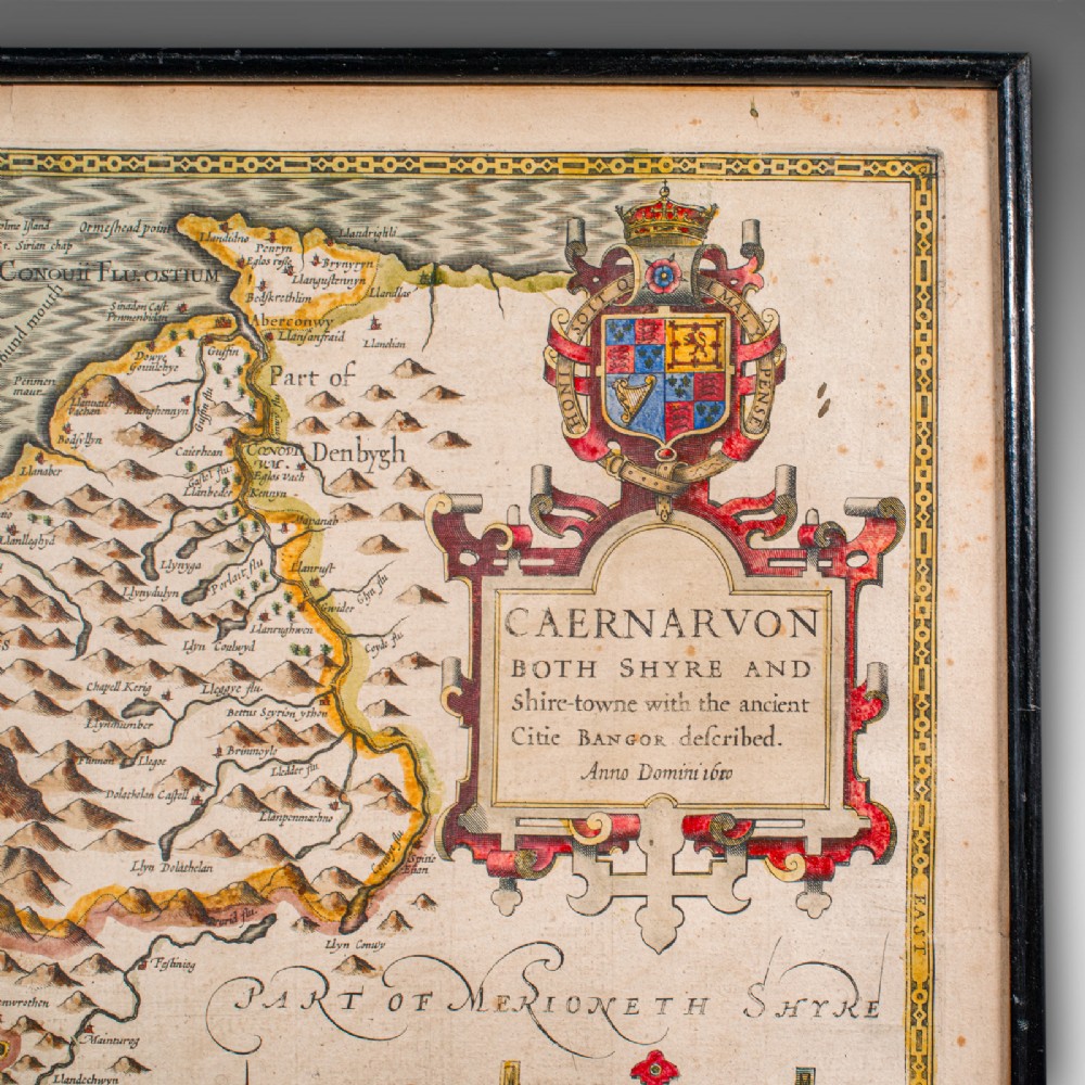
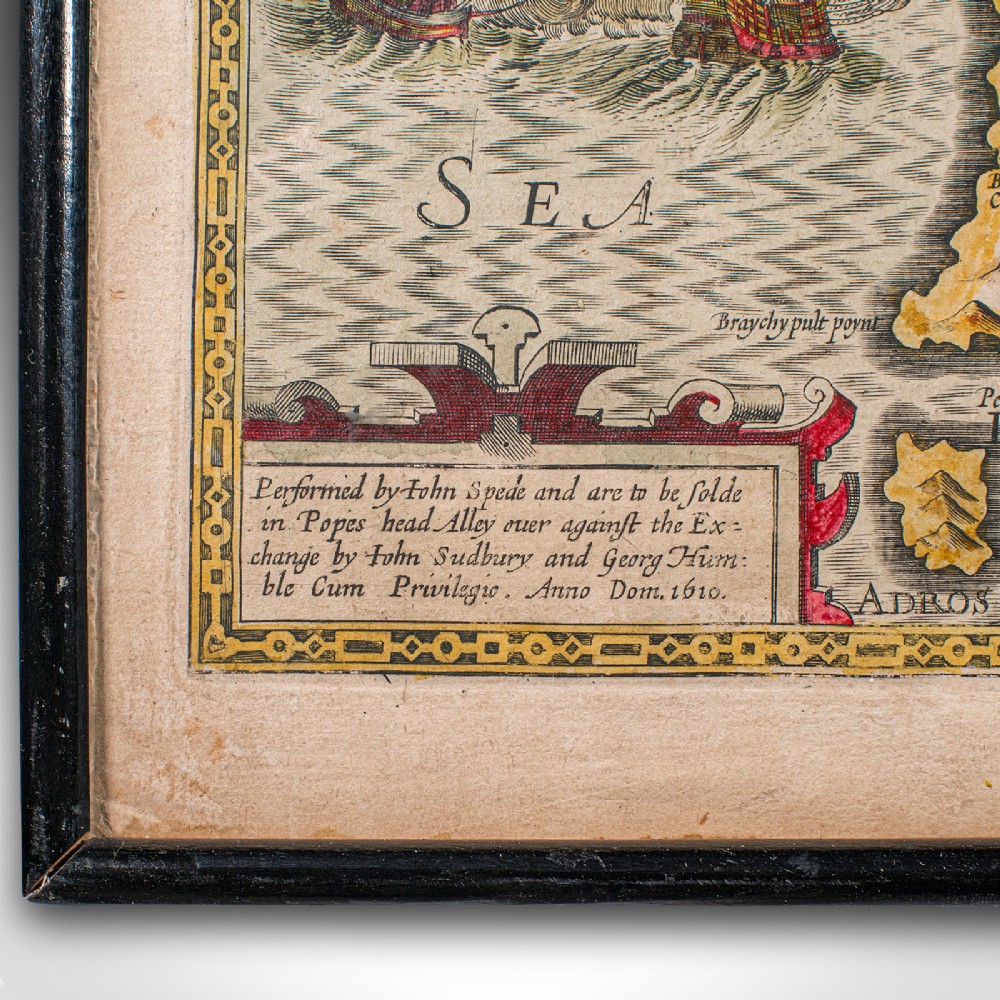
Originally compiled by John Speed (1552 - 1629) in the early 17th century
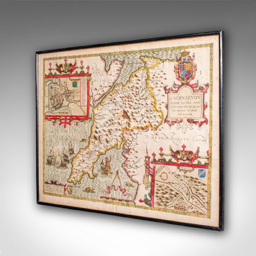
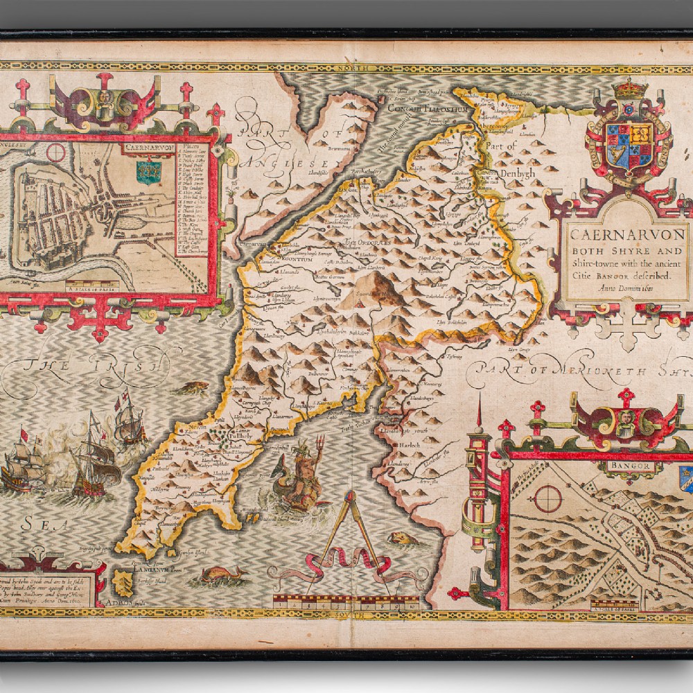
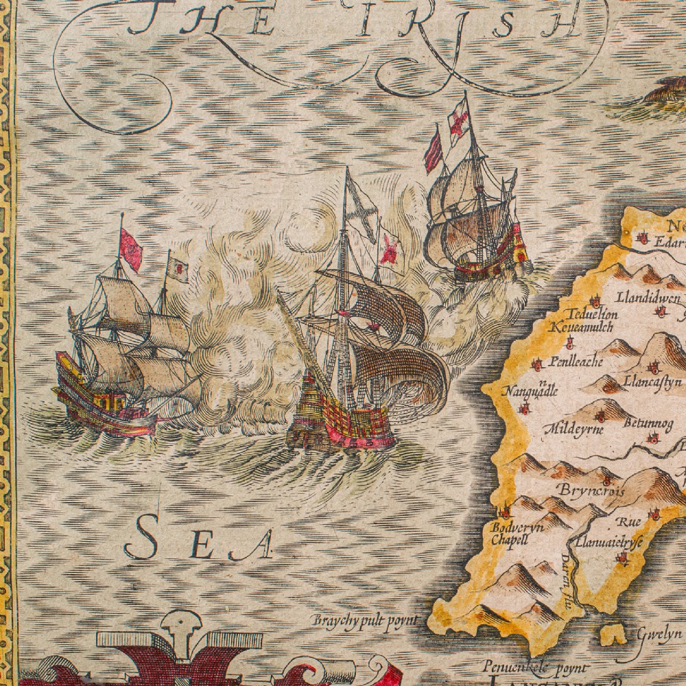
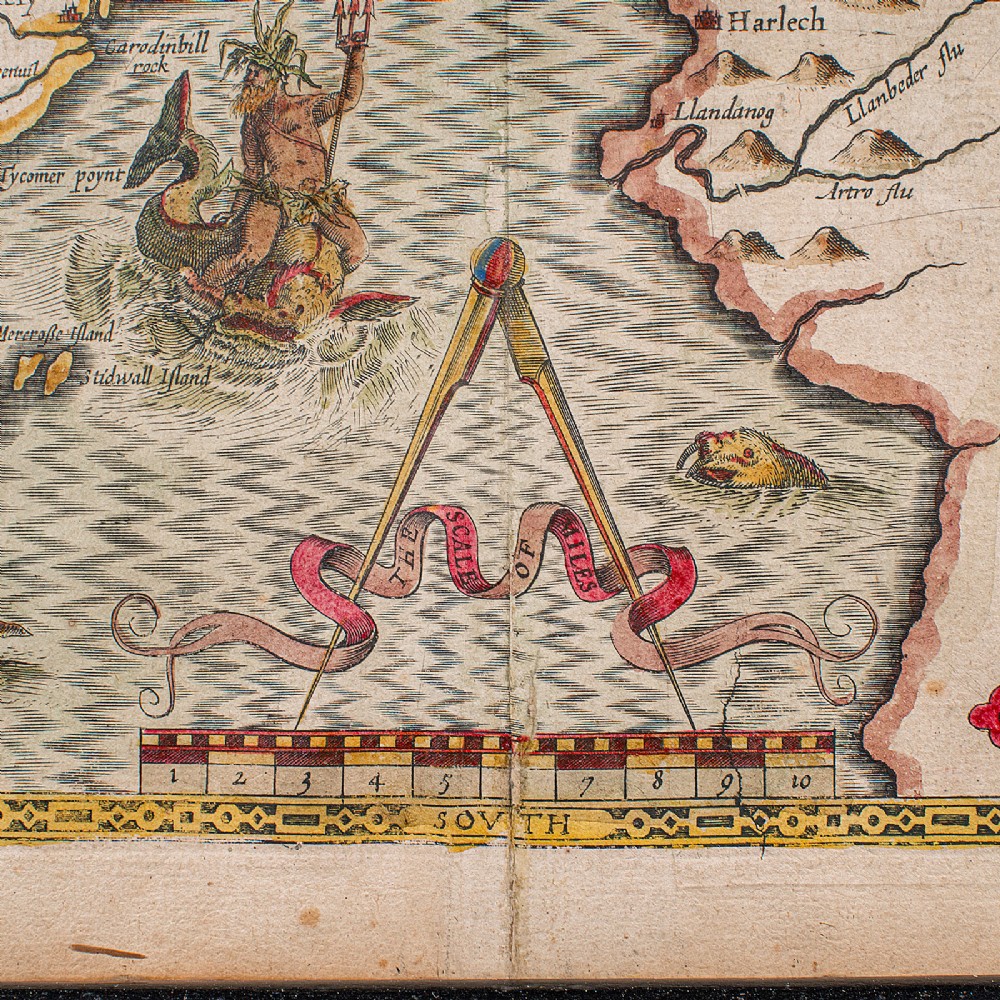
Hand coloured palette accentuates the map with crests, historic ships and borders
Engraved here for sale John Sudbury and George Humble on Pope's Head Lane, London
A hub for print houses, the location was referenced by Samuel Pepys, and was the site of Lloyd's Coffee House
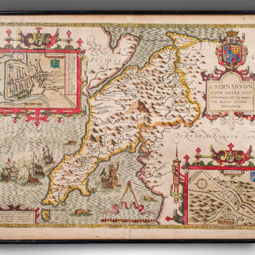
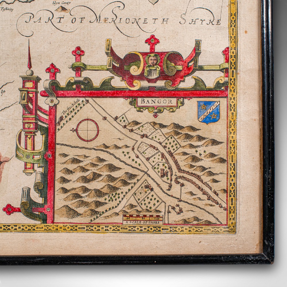
Town plans for Caernarvon and Bangor provide great period detail
Dressed to the rear with hanging wire for ease of mounting
This is a quality antique Caernarvon county map, with fine cartographic interest and a fine example of Speed’s work. Delivered ready to display.
Dimensions:
Max Width: 56cm (22'')
Max Depth: 2.5cm (1'')
Max Height: 43cm (17'')
Map Width: 51cm (20'')
Map Height: 38cm (15'')
London Fine Antiques has dated this John Speed Caernarvon Map to the 17th Century.
Fine antiques curated in england and sold worldwide
You can view the stock and full dealer information on the London Fine Antiques Profile Page
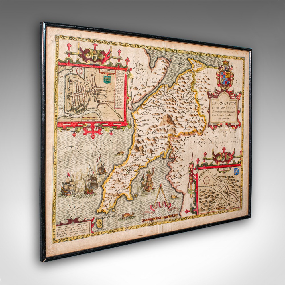
Antique Caernarvon Map, Framed Cartography, Welsh County, John Speed, Circa 1610