30,907  PAGES BROWSED TODAY PAGES TODAY 227 ANTIQUES UPLOADED TODAYNEW ARRIVALS
227 ITEMS ADDED TODAY
Sort Order
Items Per Page
Browse Categories
Sort order
Relevant Links
Items per page
ID #SA877069
FOR SALE
£295
Email
Save
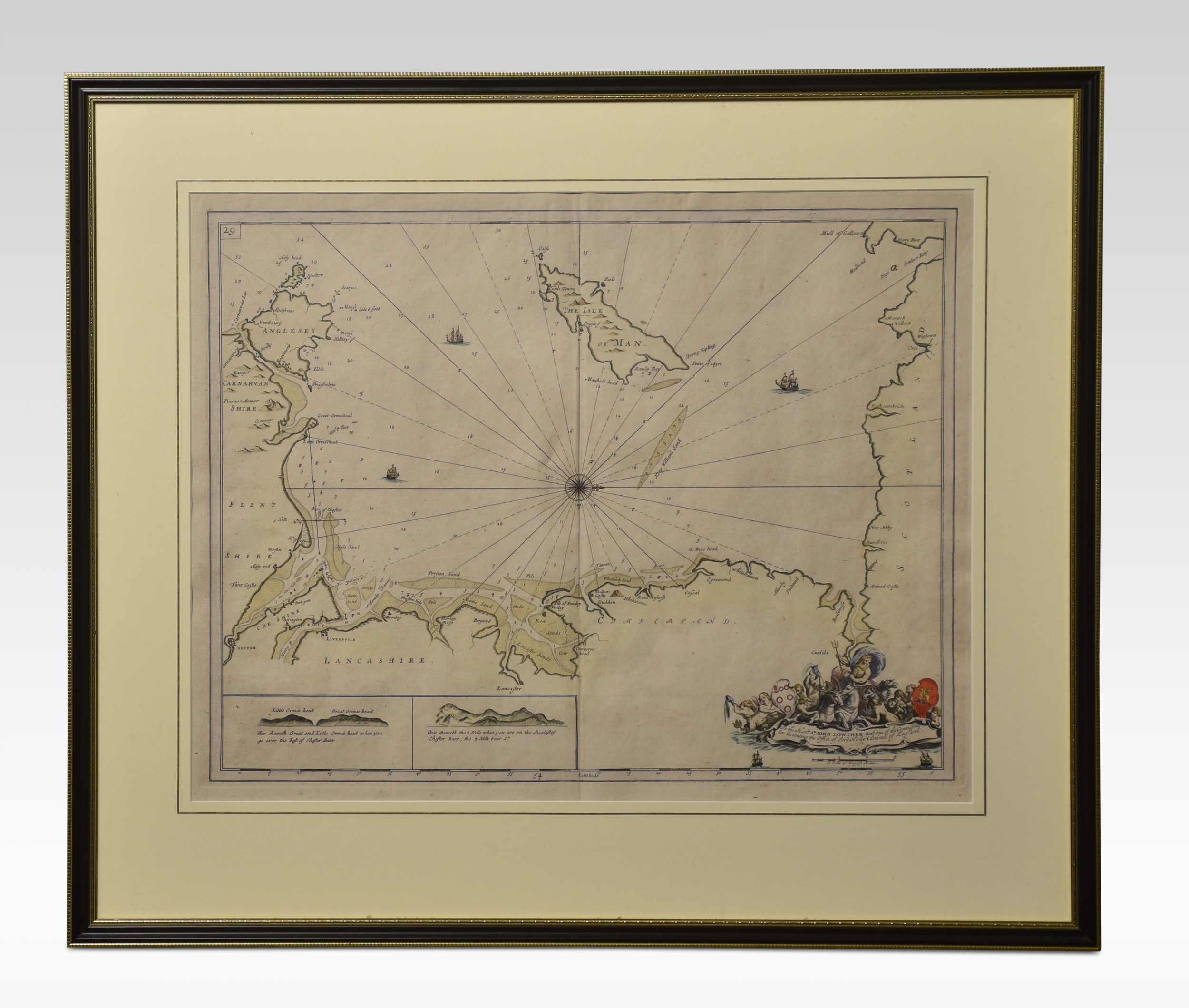
Northwest Coast and Isle of Man Map
Shackladys Antiques
for sale €345     $375
£295
Shackladys Antiques

Shackladys Antiques

Sellingantiques Verified Since Jan 2010
View Dealers Stock Page
  • Trade Associations
    Shackladys Antiques is a registered member of LAPADA 
Id #SA877069
PDF SHARE
SAVE

Northwest Coast and Isle of Man Map

19th century
Description

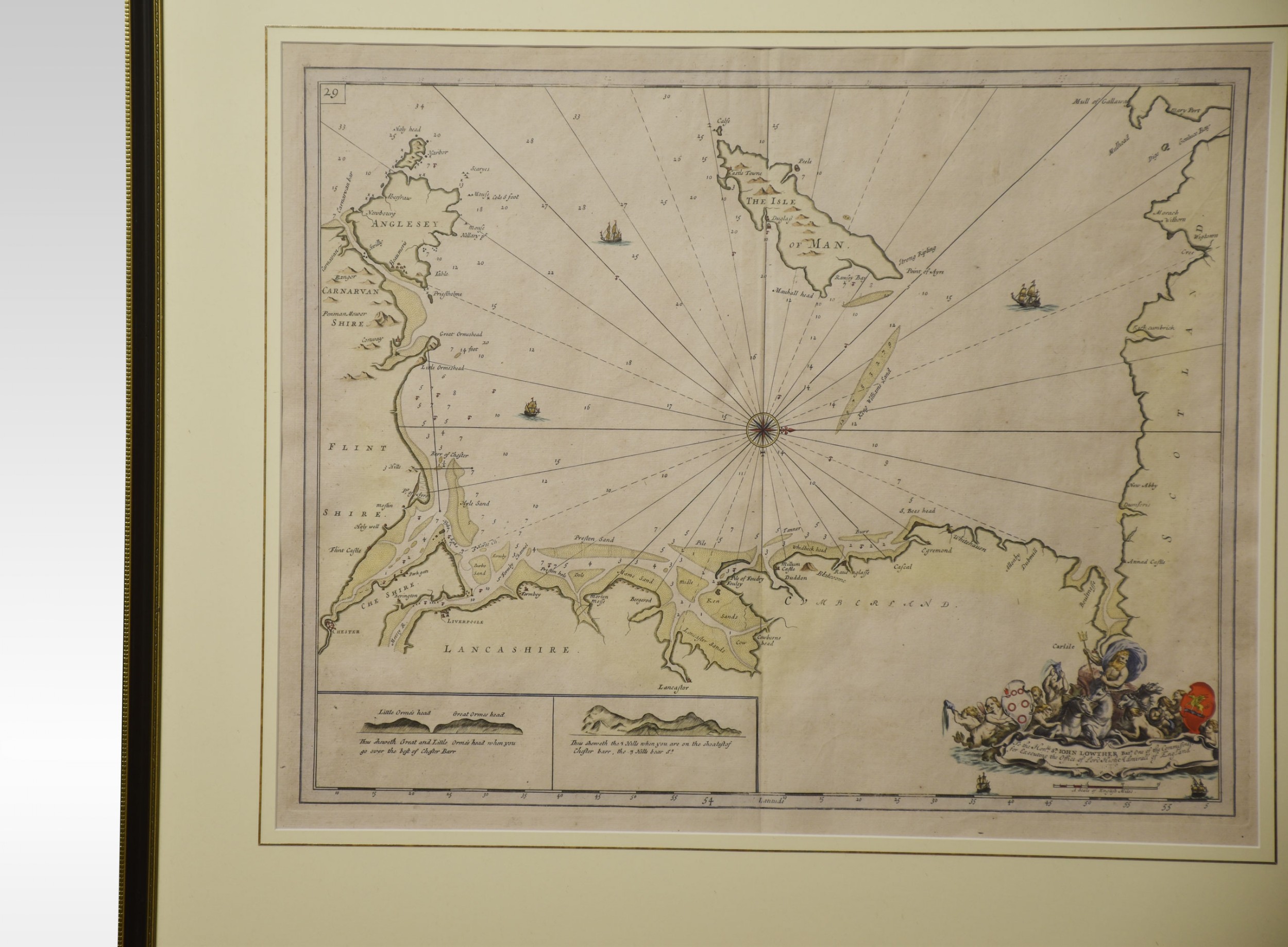
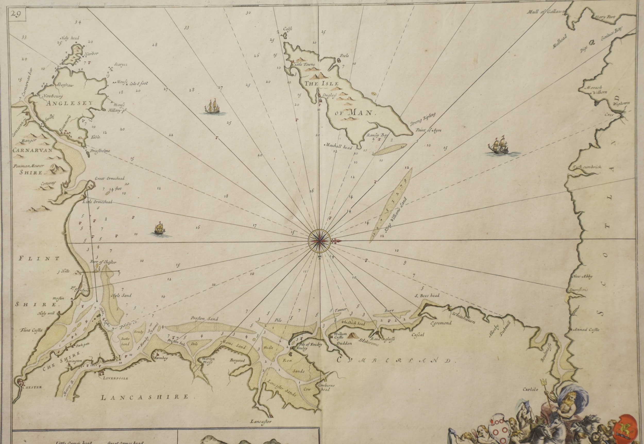
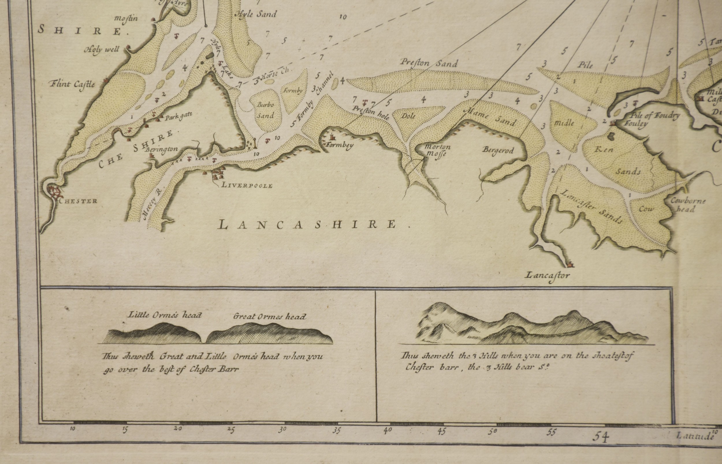
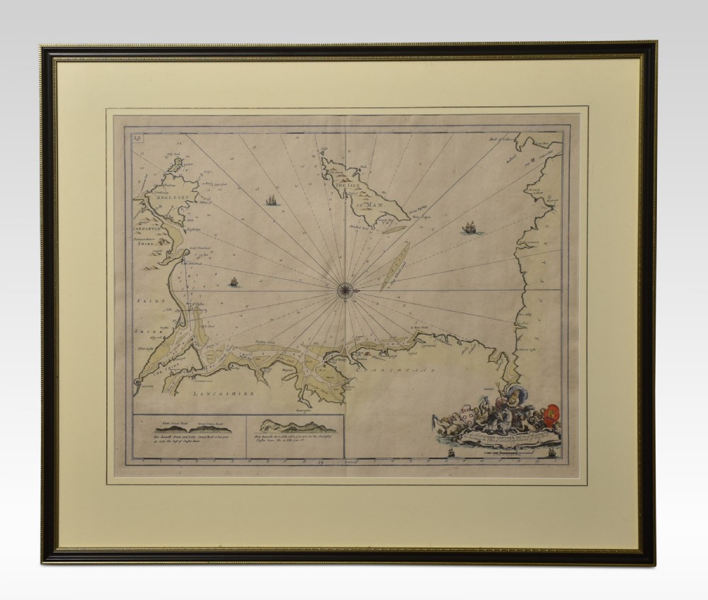
Greenville Collins Northwest Coast and Isle of Man. hand coloured chart, encased in an ebonised frame.

Dimensions

Height 26.5 Inches

Width 30 Inches

Depth 1 Inches

Physical Dimensions
Height
67cm (26.38")
Width
76cm (29.92")
Depth
3cm (1.18")
Declaration

Shackladys Antiques has dated this Antique Framed Sea Chart to the 19th Century.

Reference Numbers
Sellingantiques Reference
SA877069
Dealers Notes

Delivery Information

At Shackladys Antiques, we want your experience to be as enjoyable and as easy as possible. We want to give you all the information you need throughout the order process, and because we care about our customers and the service they expect, you can rely on us to keep you informed every step of the way.

Paying for your order should be as easy as possible; we accept all major credit cards and debit cards or by bank transfer.

We are extremely proud of our Delivery Service, offering either a Postage service for smaller items, or a Premier Two-Man Delivery Service for larger pieces. Each item has a set price for delivery this is for mainland U.K only delivery charges range from £20 - £120

Our opening hours are by appointment only

Description
Greenville Collins Northwest Coast and Isle of Man. hand coloured chart, encased in an ebonised frame.

Dimensions

Height 26.5 Inches

Width 30 Inches

Depth 1 Inches

Height
67cm (26.38")
Width
76cm (29.92")
Depth
3cm (1.18")
Date of Manufacture

Shackladys Antiques has dated this Antique Framed Sea Chart to the 19th Century.

Reference Numbers
Sellingantiques Ref
SA877069
Shackladys Antiques
Shackladys Antiques
Sellingantiques verified Since Jan 2010
Dealer Profile

You can view the stock and full dealer information on the Shackladys Antiques Profile Page

Trade Associations

Shackladys Antiques is a registered member of LAPADA 
PDF SHARE
SAVE
A framed antique hand-tinted sea chart depicting the Northwest Coast of England and the Isle of Man, set in a dark wood frame with a cream mount.
1 / 6
Archive I A framed antique hand-tinted sea chart depicting the Northwest Coast of England and the Isle of Man, set in a dark wood frame with a cream mount.

Northwest Coast and Isle of Man Map
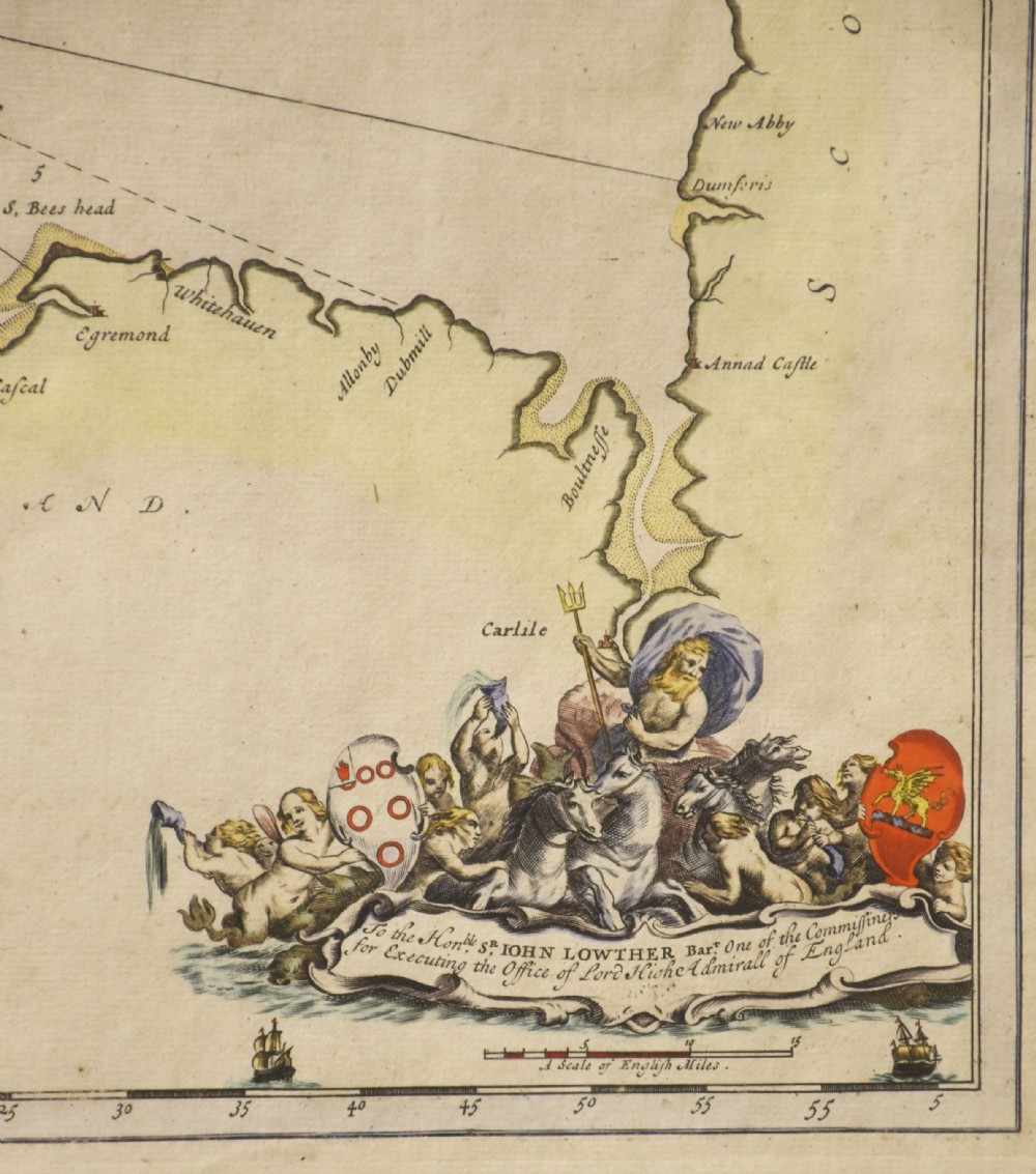
Archive II A framed antique hand-tinted sea chart depicting the Northwest Coast of England and the Isle of Man, set in a dark wood frame with a cream mount. View II
Archive III A framed antique hand-tinted sea chart depicting the Northwest Coast of England and the Isle of Man, set in a dark wood frame with a cream mount. View III
Archive IV Scale Reference for A framed antique hand-tinted sea chart depicting the Northwest Coast of England and the Isle of Man, set in a dark wood frame with a cream mount.
Archive V A framed antique hand-tinted sea chart depicting the Northwest Coast of England and the Isle of Man, set in a dark wood frame with a cream mount. View V
Archive VI A framed antique hand-tinted sea chart depicting the Northwest Coast of England and the Isle of Man, set in a dark wood frame with a cream mount. View VI
Enlarged Archival View
Location
34 Spital Walk
Boughton
Chester
CH3 5DB
United Kingdom
By appointment only
Verified Since Jan 2010
Items For Sale 750
Items Sold 3,499
Shackladys Antiques
Shackladys Antiques
Verified Since Jan 2010
View Dealer Info
Location: 34 Spital Walk, Boughton, Chester, CH3 5DB, United Kingdom, By appointment only
Verified
Jan 2010
For Sale
750
Sold
3,499
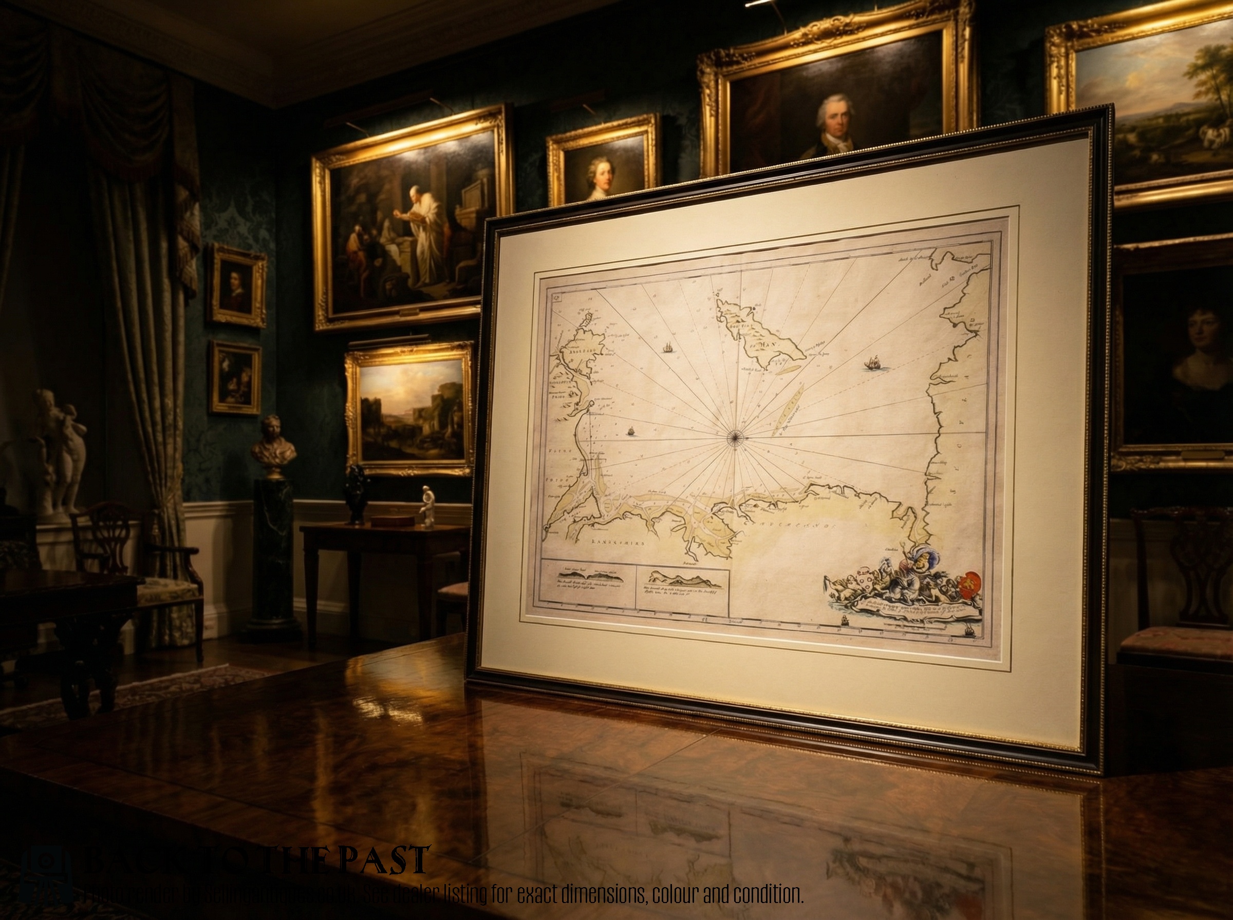
A framed antique hand-tinted sea chart depicting the Northwest Coast of England and the Isle of Man, set in a dark wood frame with a cream mount.
Northwest Coast and Isle of Man Map
Ref: SA877069
A framed antique hand-tinted sea chart depicting the Northwest Coast of England and the Isle of Man, set in a dark wood frame with a cream mount.
Detail View 1
Detail View 2
Detail View 3
Detail View 4
Scale Reference
Archival Detail
Every single antique dealer on our platform is individually approved by our internal team. We verify their professional trade history, ethical standards, and photographic quality to ensure a secure, high-standard buying environment. Upon joining, every dealer agrees to a strict 9-point code of conduct. While issues can occasionally arise, our dealers typically resolve them swiftly and directly with the buyer. In fact, since our founding in 2002, Sellingantiques has only had to step in to help resolve an issue on roughly five occasions—a true testament to the quality of our dealers and their dedication to your happiness.
Our dealers are highly experienced in packing and shipping fragile, high-value antiques. Because you are in direct contact with the dealer, you will be able to easily go through all available shipping and insurance options together to ensure your item arrives safely.
Antiques are the ultimate green purchase. By choosing historical pieces over newly manufactured goods, you completely eliminate the carbon footprint of modern mass production while preserving exceptional, timeless craftsmanship.

Antique sea charts were published primarily during the seventeenth and eighteenth centuries to assist mariners in navigating coastal waters, showing sandbanks, soundings, and harbors alongside decorative cartouche details.

Historic sea charts were engraved onto copper plates and printed onto laid rag paper using iron gall or oil-based inks, frequently finished with hand-applied watercolor washes to delineate coastlines.

Authenticity is evaluated by inspecting the paper for watermarks and chain lines, identifying the plate mark impression around the border, and verifying the printing techniques consistent with the claimed era.

Framed cartographic prints function effectively as focal points when mounted above sideboards, lined along hallway walls, or integrated into a gallery wall paired with dark wood furniture and brass accents.

Paper prints should be mounted using acid-free matting and sealed beneath UV-filtering glass, positioned away from direct sunlight and fluctuating humidity to prevent foxing and colour fading.
items
Add keywords to the filter
Price
£100
£250000
Era
Movements
Material
Origin
Stock Location
Freshness
Online Payments
Categories