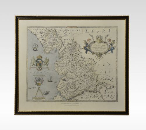
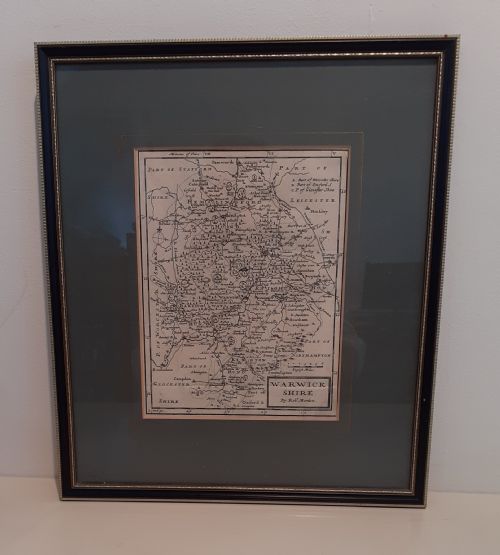
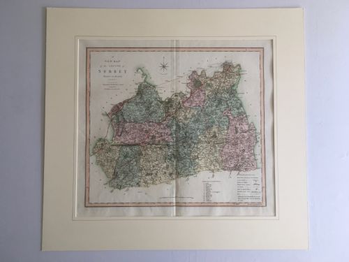
These antique English county map examples trace shire boundaries from the seventeenth century onward, offering a framed piece of local history for the wall.
Early mapmakers sometimes filled blank ocean spaces with elaborate sea monsters to entertain the viewer.