19,990  PAGES BROWSED TODAY PAGES TODAY 42 ANTIQUES UPLOADED TODAYNEW ARRIVALS
42 ITEMS ADDED TODAY
Sort Order
Items Per Page
Browse Categories
Sort order
Relevant Links
Items per page
ID #SA612669
FOR SALE
£165
Email Buy
Save
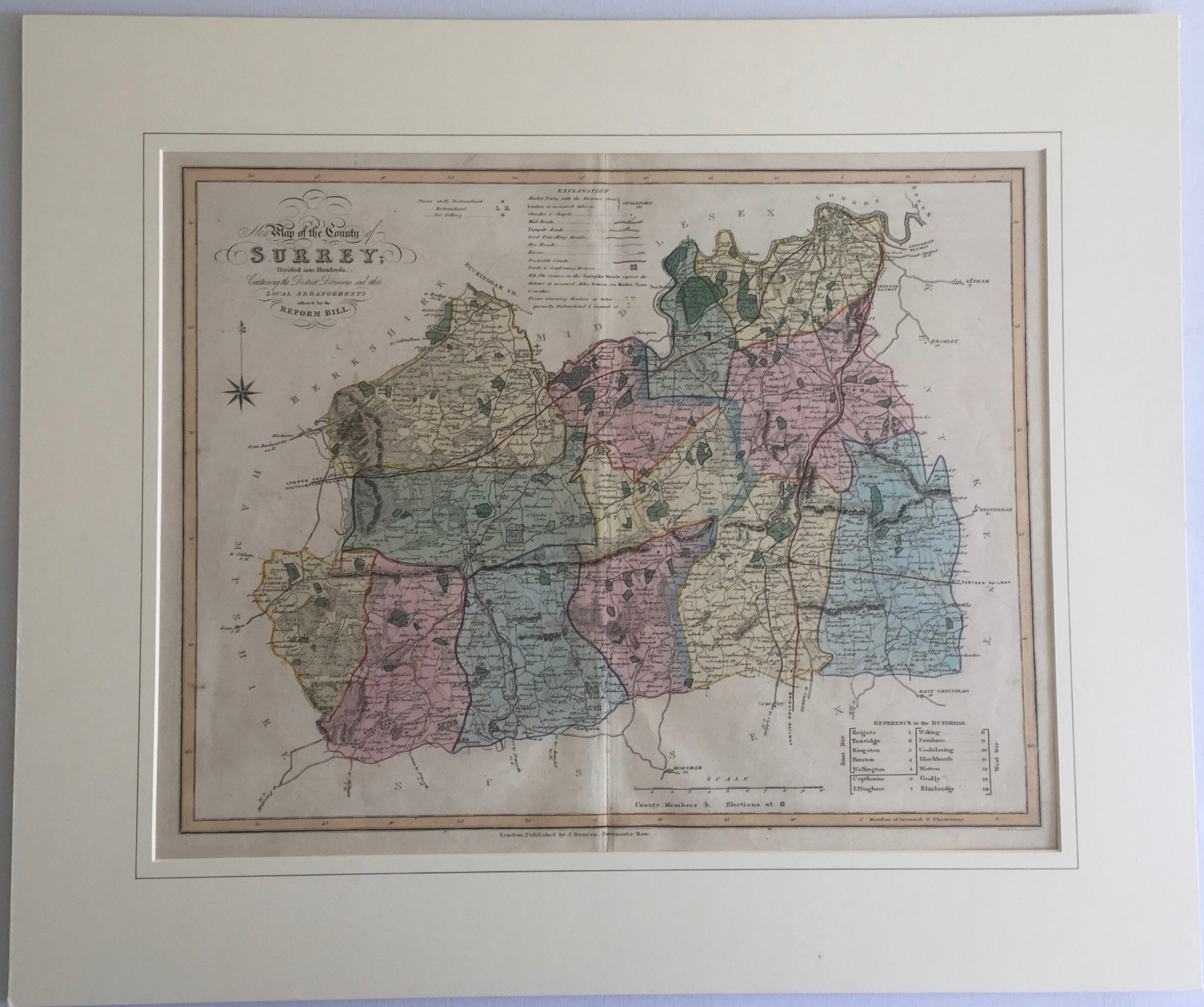
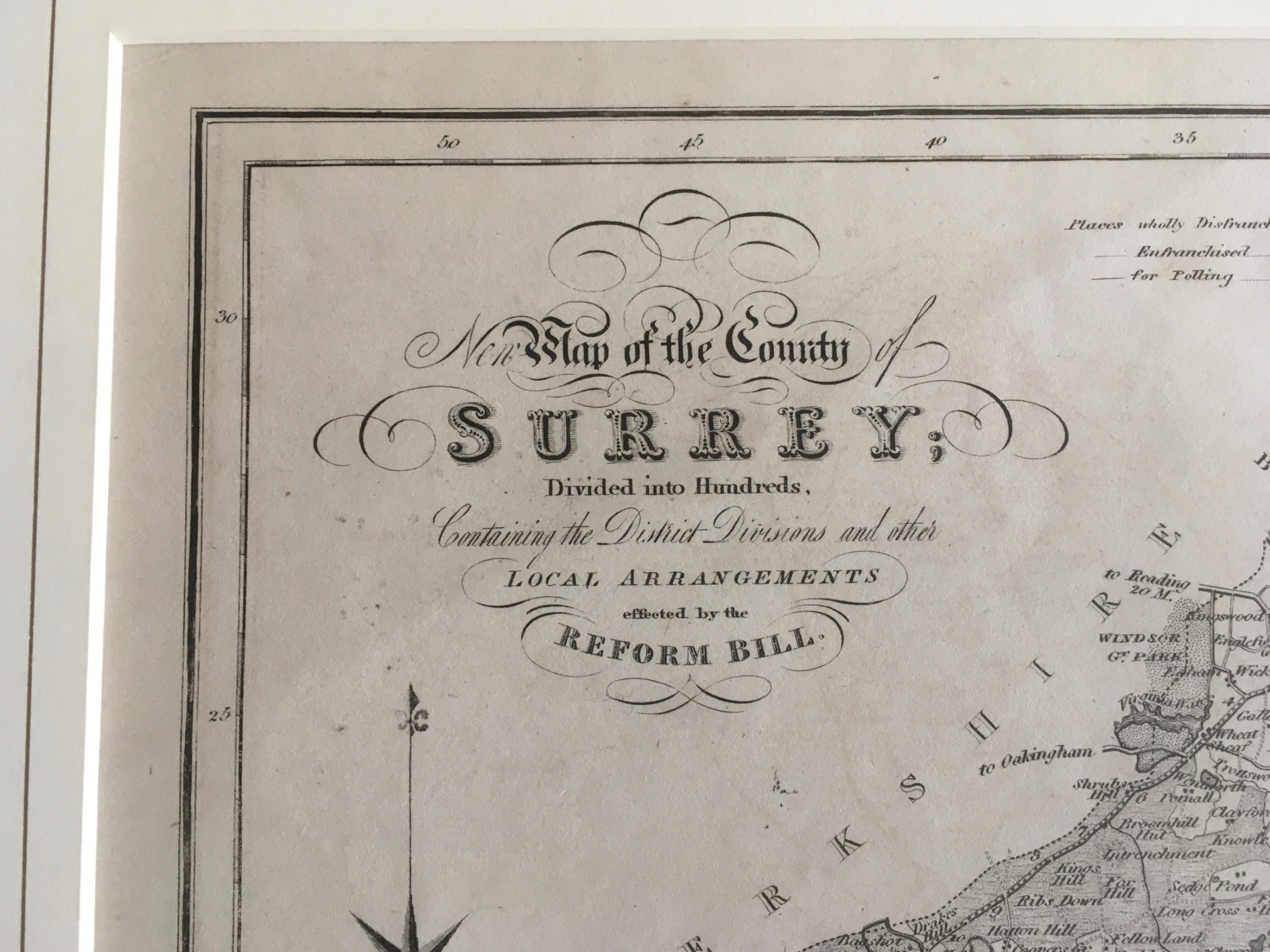
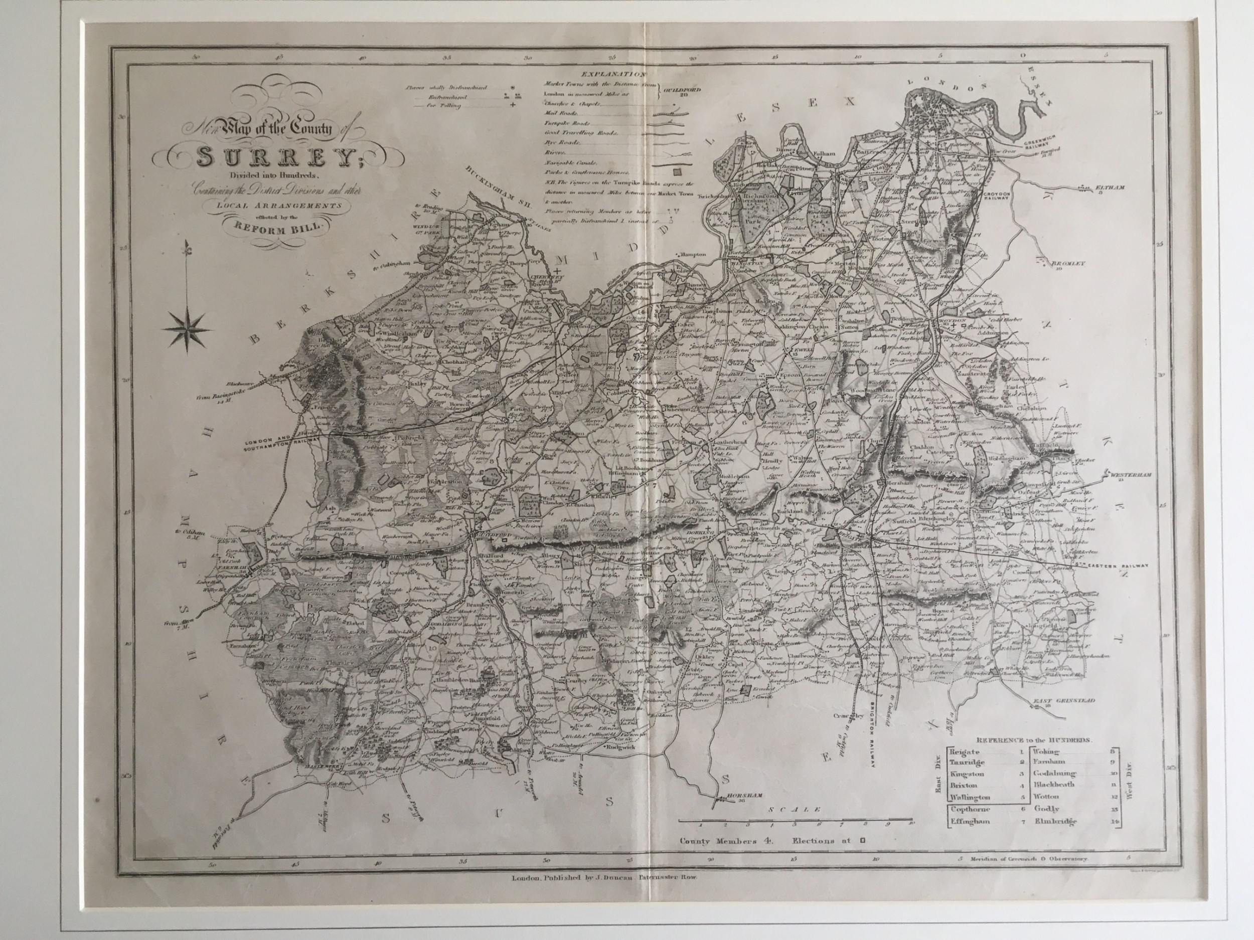
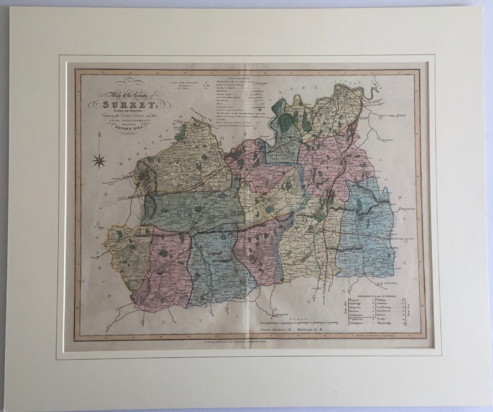
Antique Map of Surrey by J. Duncan 1833
AJD Antiques
for sale €193     $210
£165
AJD Antiques

AJD Antiques

Sellingantiques Verified Since Feb 2010
View Dealers Stock Page
  • About Us
    Founder of ajd antiques, jonathan dyas has a life-long passion for sourcing and returning to the market an eclectic range of antiques.
Id #SA612669
PDF SHARE
SAVE

Antique Map of Surrey by J. Duncan 1833

18th century
For Sale by AJD Antiques
Description

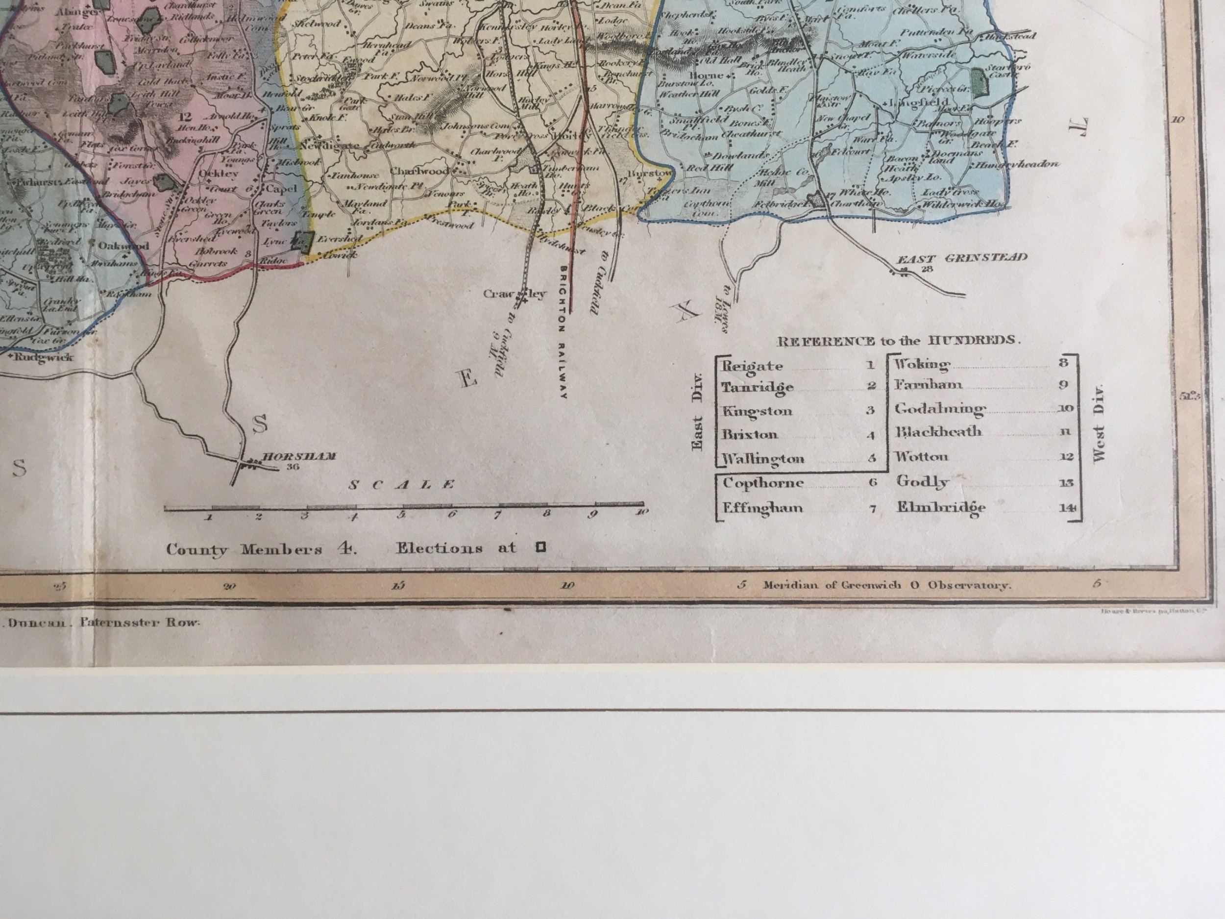
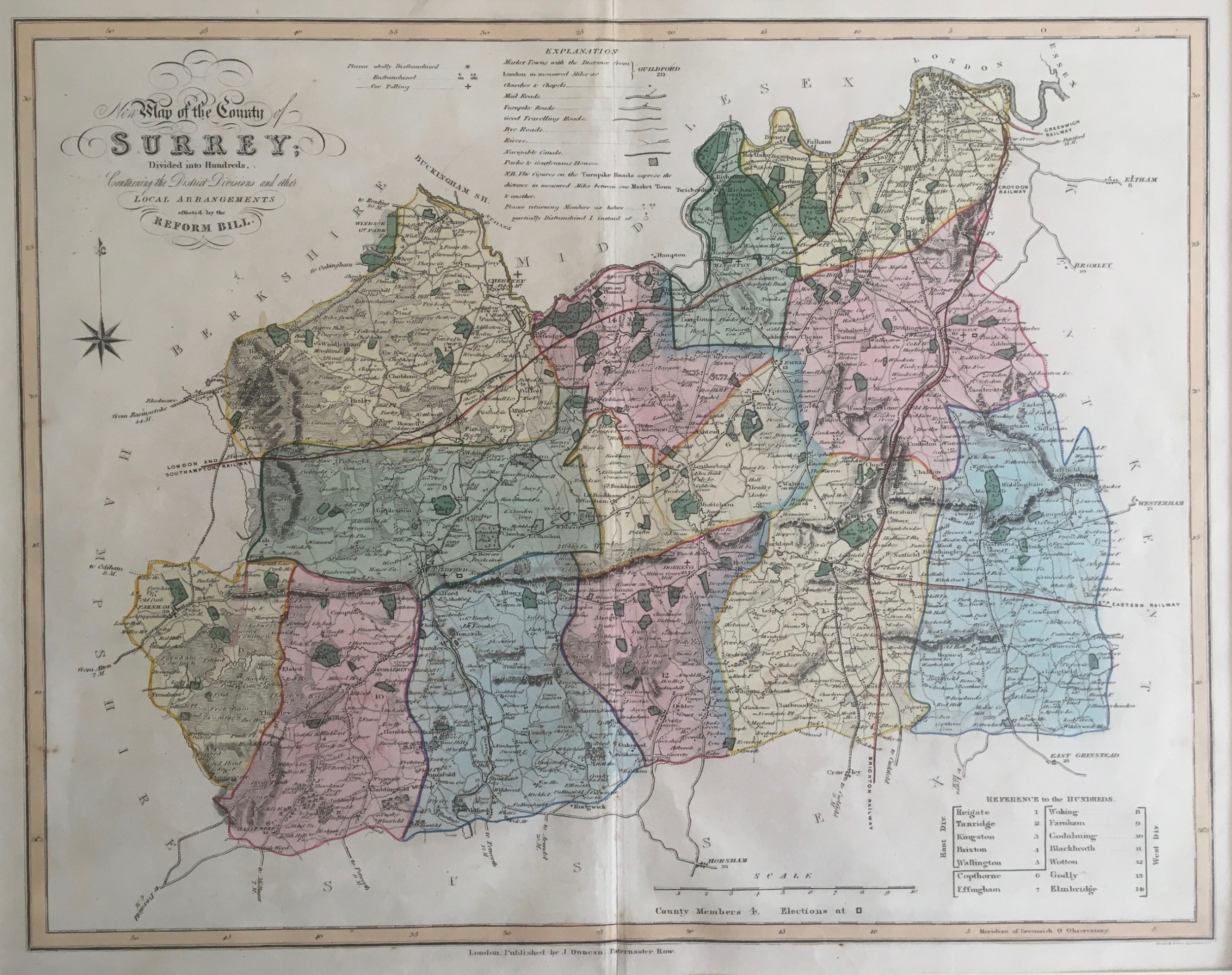
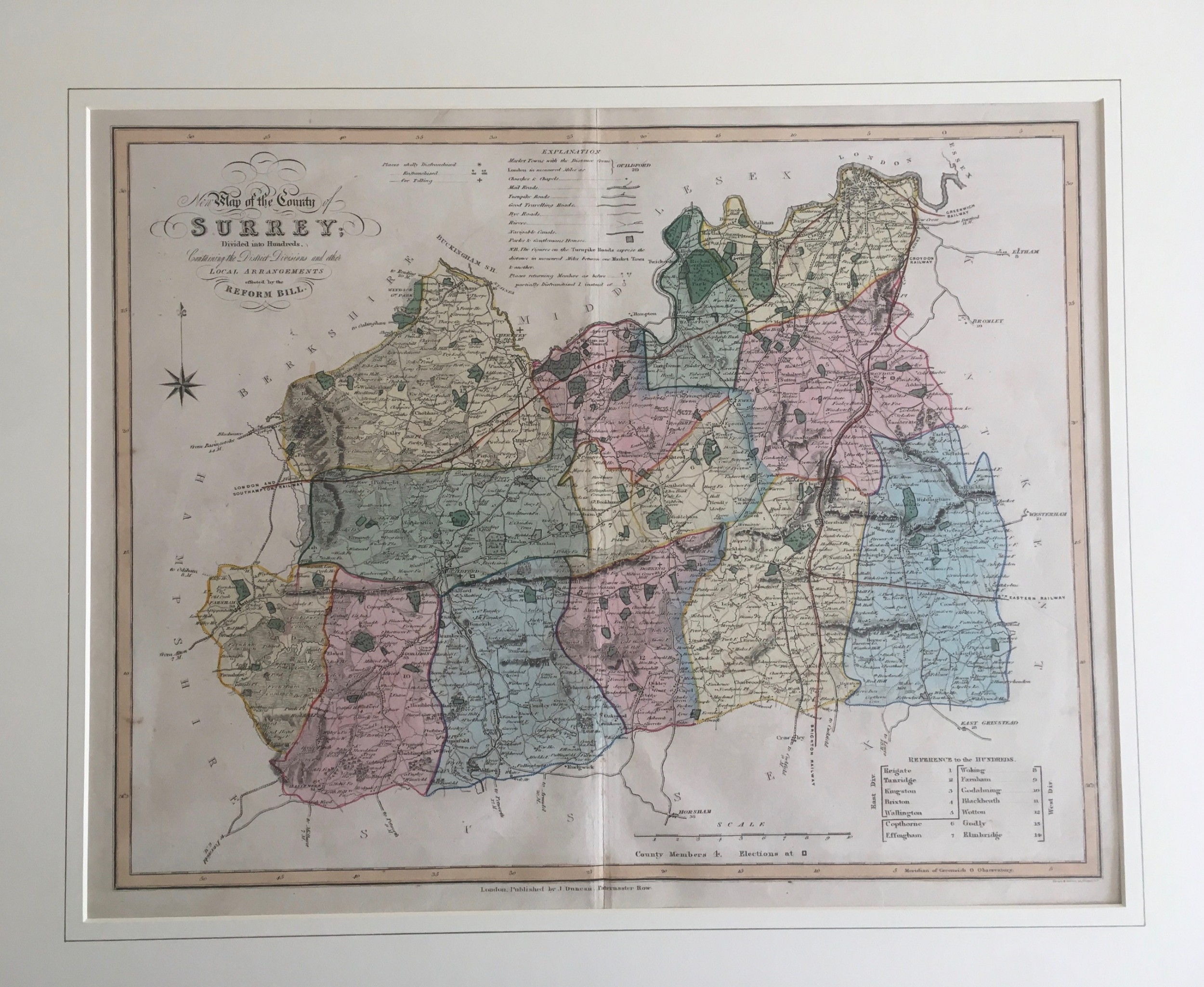
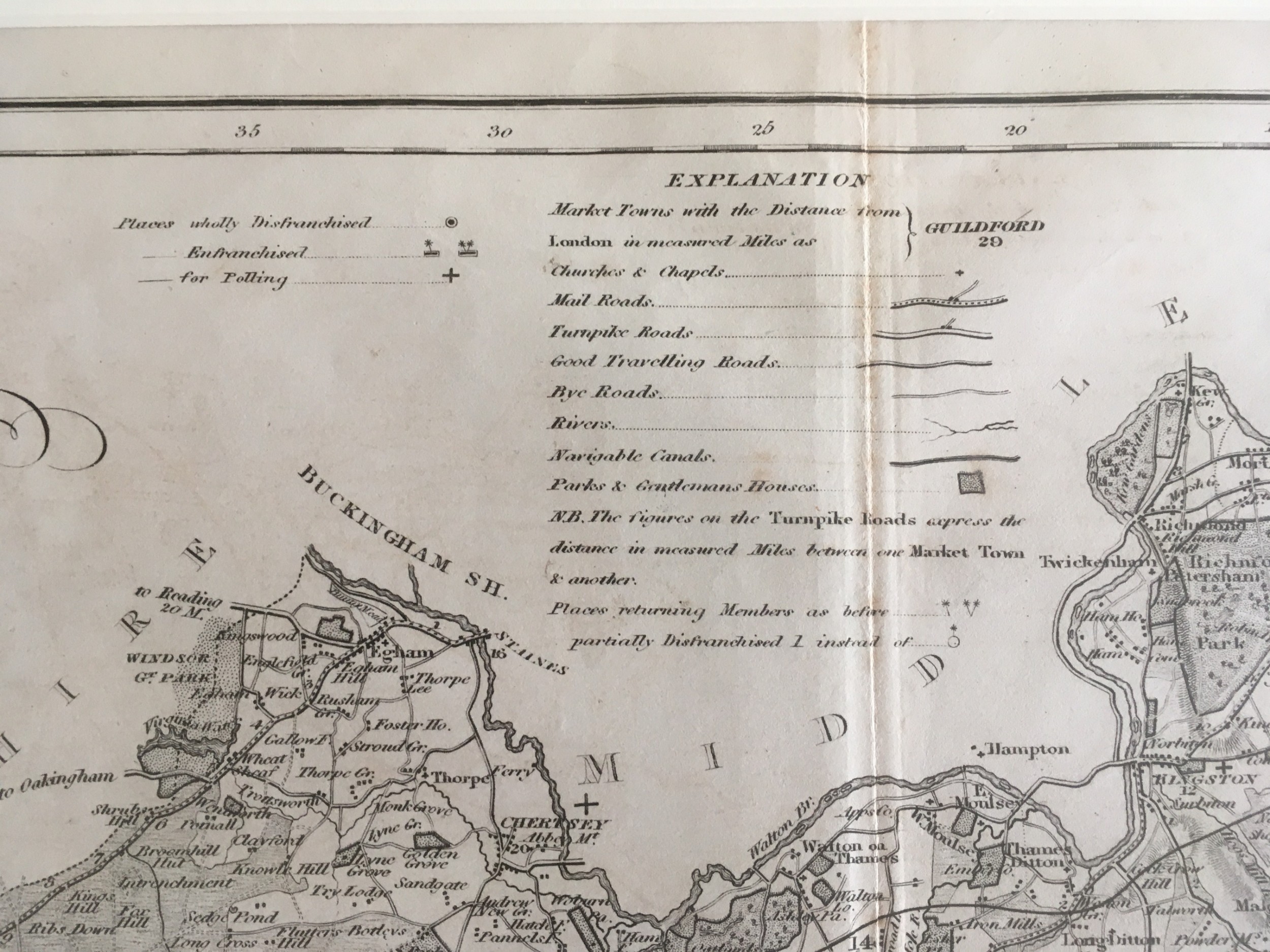
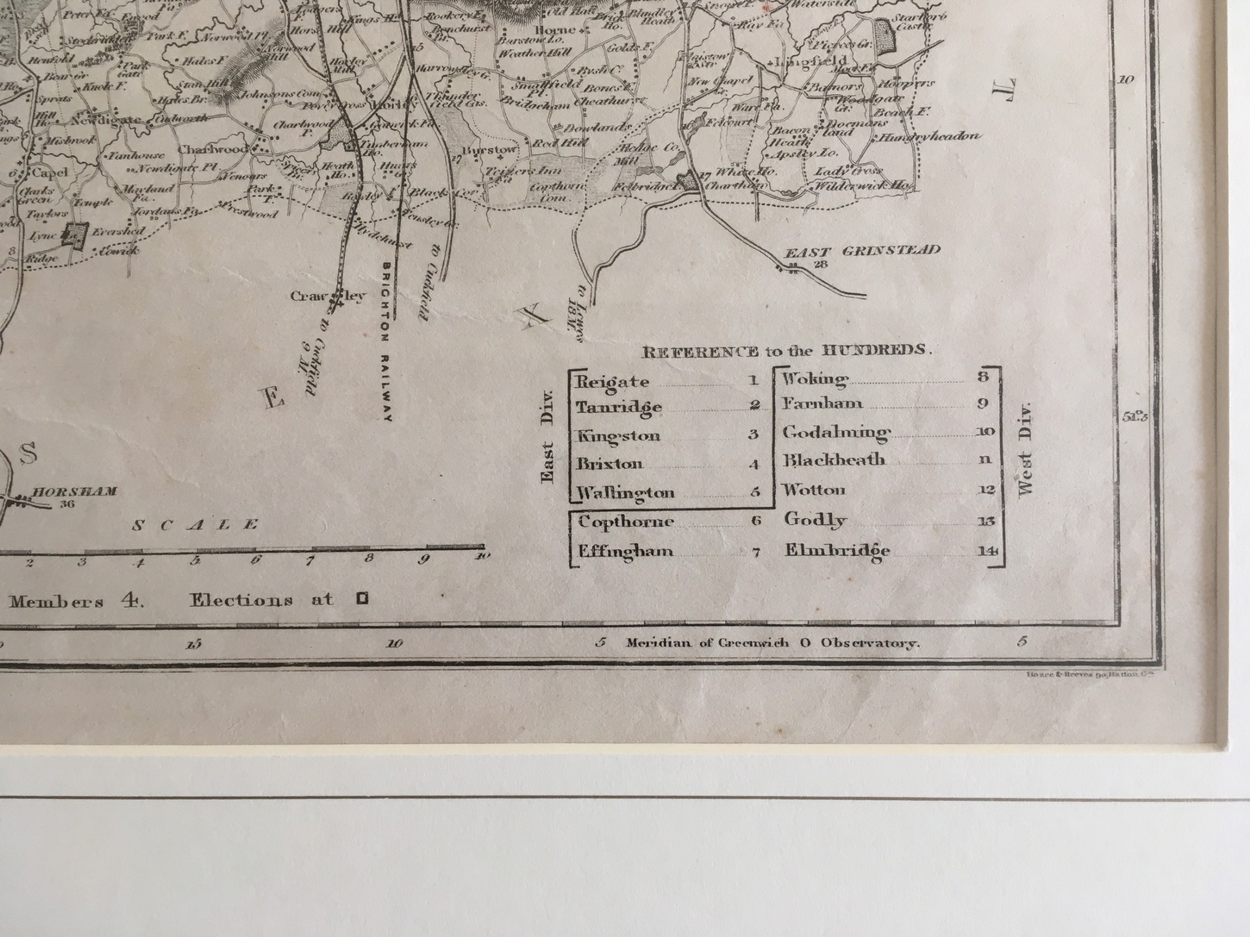
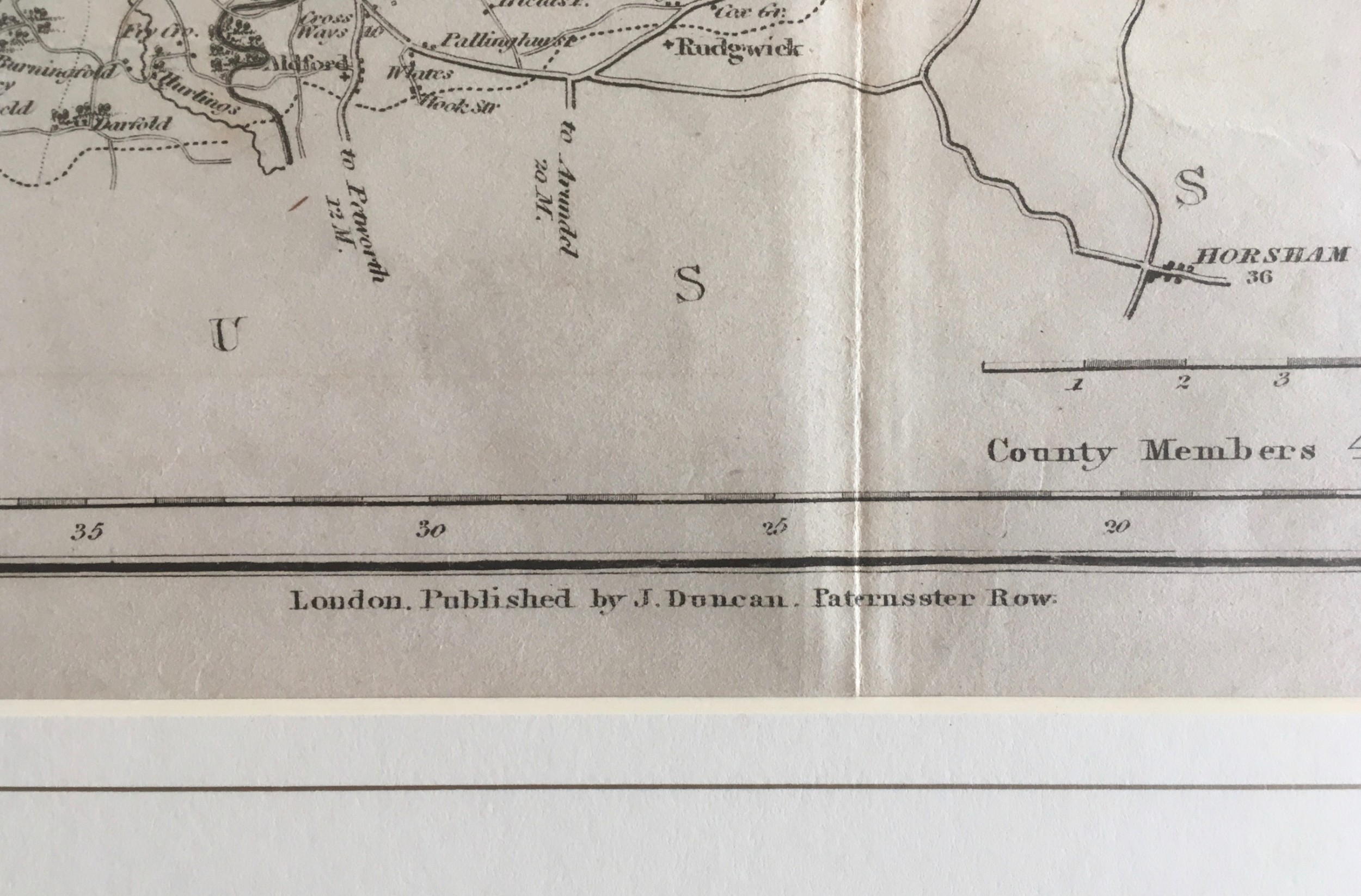
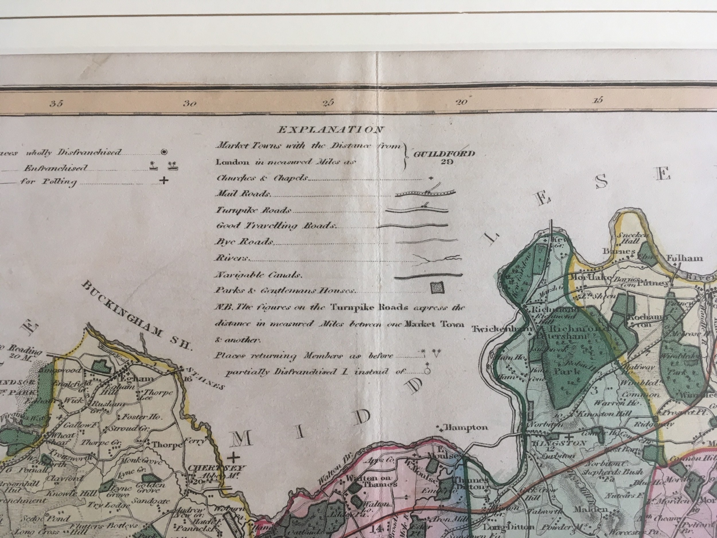
A hand coloured and a plain map by the engraver J Duncan of Paternoster Row, London, of Surrey divided into hundreds affected by the Reform Bill of 1832 and showing roads, rivers, parks, canals and The London & Southampton Railway and the Greenwich, Croydon, Brighton and Eastern Railways, both in a cream mount. They are in excellent condition.

Size:

Map - 15.75" x 19.5" (40 x 49.5cm)

Mount - 19.75" x 23.5" (50 x 60cm)

Physical Dimensions
Height
50cm (19.69")
Width
60cm (23.62")
Depth
1cm (0.39")
Declaration

AJD Antiques has dated this Antique Surrey County Map to the Georgian era.

Reference Numbers
Sellingantiques Reference
SA612669
Dealers Internal Reference
30611
Description
A hand coloured and a plain map by the engraver J Duncan of Paternoster Row, London, of Surrey divided into hundreds affected by the Reform Bill of 1832 and showing roads, rivers, parks, canals and The London & Southampton Railway and the Greenwich, Croydon, Brighton and Eastern Railways, both in a cream mount. They are in excellent condition.

Size:

Map - 15.75" x 19.5" (40 x 49.5cm)

Mount - 19.75" x 23.5" (50 x 60cm)

Height
50cm (19.69")
Width
60cm (23.62")
Depth
1cm (0.39")
Date of Manufacture

AJD Antiques has dated this Antique Surrey County Map to the Georgian era.

Reference Numbers
Sellingantiques Ref
SA612669
Dealers Internal Ref
30611
AJD Antiques
AJD Antiques
Sellingantiques verified Since Feb 2010

Founder of ajd antiques, jonathan dyas has a life-long passion for sourcing and returning to the market an eclectic range of antiques.

Dealer Profile

You can view the stock and full dealer information on the AJD Antiques Profile Page
PDF SHARE
SAVE
An 1833 hand-coloured engraved map of the county of Surrey by J. Duncan mounted in an off-white mat.
1 / 11
Archive I An 1833 hand-coloured engraved map of the county of Surrey by J. Duncan mounted in an off-white mat.

Antique Map of Surrey by J. Duncan 1833
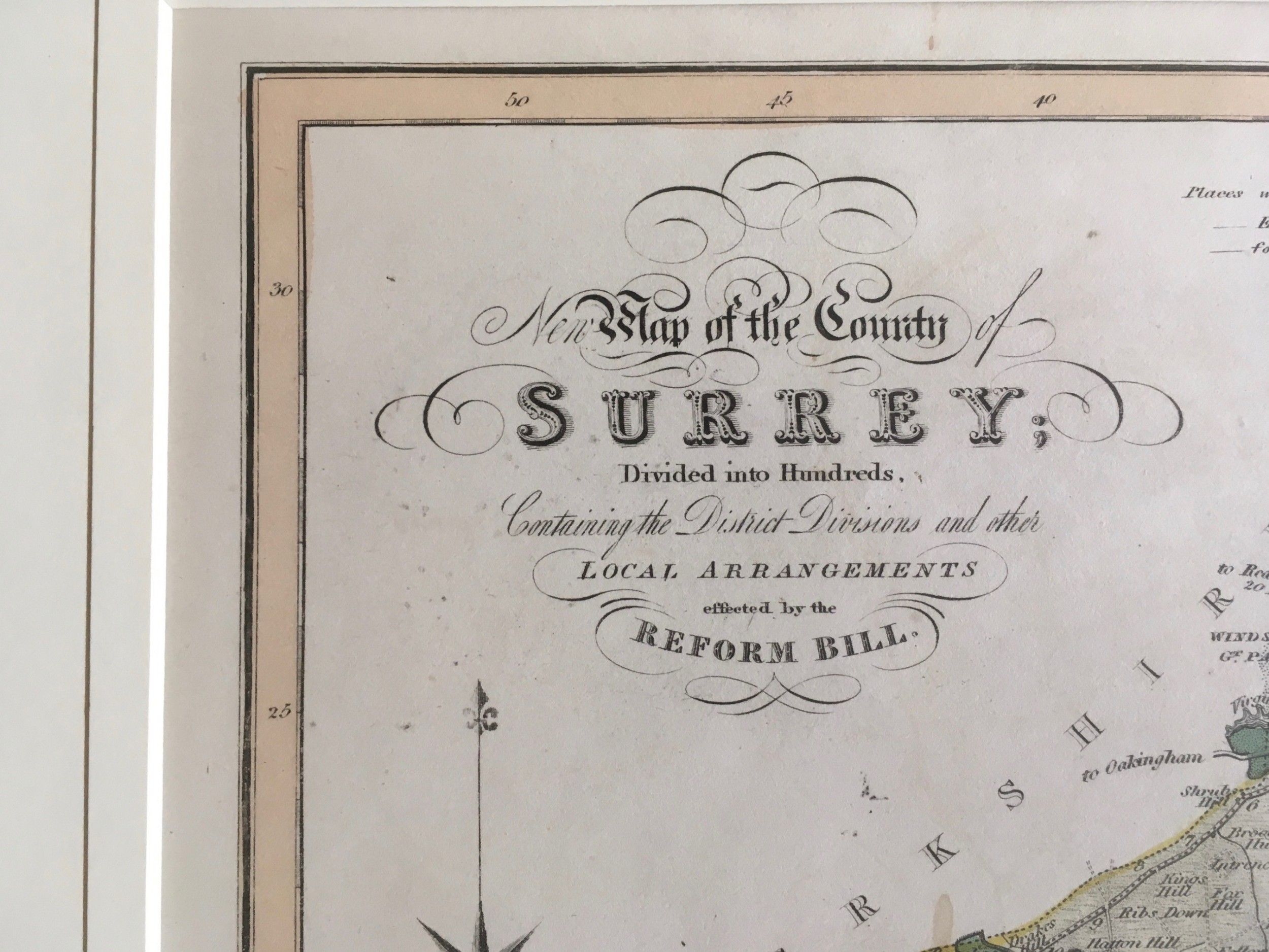
Archive II An 1833 hand-coloured engraved map of the county of Surrey by J. Duncan mounted in an off-white mat. View II
Archive III An 1833 hand-coloured engraved map of the county of Surrey by J. Duncan mounted in an off-white mat. View III
Archive IV An 1833 hand-coloured engraved map of the county of Surrey by J. Duncan mounted in an off-white mat. View IV
Archive V An 1833 hand-coloured engraved map of the county of Surrey by J. Duncan mounted in an off-white mat. View V
Archive VI An 1833 hand-coloured engraved map of the county of Surrey by J. Duncan mounted in an off-white mat. View VI
Archive VII An 1833 hand-coloured engraved map of the county of Surrey by J. Duncan mounted in an off-white mat. View VII
Archive VIII An 1833 hand-coloured engraved map of the county of Surrey by J. Duncan mounted in an off-white mat. View VIII
Archive IX An 1833 hand-coloured engraved map of the county of Surrey by J. Duncan mounted in an off-white mat. View IX
Archive X An 1833 hand-coloured engraved map of the county of Surrey by J. Duncan mounted in an off-white mat. View X
Archive XI An 1833 hand-coloured engraved map of the county of Surrey by J. Duncan mounted in an off-white mat. View XI
Enlarged Archival View
Location
West London
United Kingdom
Dealer Profile Page sellingantiques.co.uk/ajd
Verified Since Feb 2010
Items For Sale 167
Items Sold 586
AJD Antiques
AJD Antiques
Verified Since Feb 2010
View Dealer Info
Location: West London, United Kingdom
Verified
Feb 2010
For Sale
167
Sold
586
An 1833 hand-coloured engraved map of the county of Surrey by J. Duncan mounted in an off-white mat.
Antique Map of Surrey by J. Duncan 1833
Ref: SA612669
An 1833 hand-coloured engraved map of the county of Surrey by J. Duncan mounted in an off-white mat.
Detail View 1
Detail View 2
Detail View 3
Detail View 4
Detail View 5
Detail View 6
Detail View 7
Detail View 8
Detail View 9
Detail View 10
Archival Detail
Every single antique dealer on our platform is individually approved by our internal team. We verify their professional trade history, ethical standards, and photographic quality to ensure a secure, high-standard buying environment. Upon joining, every dealer agrees to a strict 9-point code of conduct. While issues can occasionally arise, our dealers typically resolve them swiftly and directly with the buyer. In fact, since our founding in 2002, Sellingantiques has only had to step in to help resolve an issue on roughly five occasions—a true testament to the quality of our dealers and their dedication to your happiness.
Our dealers are highly experienced in packing and shipping fragile, high-value antiques. Because you are in direct contact with the dealer, you will be able to easily go through all available shipping and insurance options together to ensure your item arrives safely.
Antiques are the ultimate green purchase. By choosing historical pieces over newly manufactured goods, you completely eliminate the carbon footprint of modern mass production while preserving exceptional, timeless craftsmanship.

James Duncan published detailed English county maps in the 1830s, notable for incorporating administrative changes resulting from the Reform Act of 1832. These maps highlighted hundred divisions, parliamentary representation, and regional transport infrastructure of early 19th-century Britain.

Maps from this era were produced using copperplate engraving printed onto rag paper. Watercolour washes were subsequently applied by hand to distinguish administrative boundaries, county hundreds, and territorial divisions.

Authentic period maps exhibit visible plate marks from copperplate pressing, characteristic chain lines in the hand-made paper, and uneven oxidation or toning around the edges. Hand-applied watercolour washes typically show natural variation under magnification rather than halftone printing dots.

Framed antique maps serve as focal points when grouped on gallery walls or positioned above desks and console tables. Their warm paper tones and precise line work pair well with traditional wooden panelling as well as minimalist contemporary spaces.

Preserve antique paper maps by framing them using acid-free matting boards and UV-filtering glass. Keep items out of direct sunlight and maintain stable humidity levels to prevent paper foxing, fading, or cockling.
items
Add keywords to the filter
Price
£100
£250000
Era
Movements
Material
Origin
Stock Location
Freshness
Online Payments
Categories