

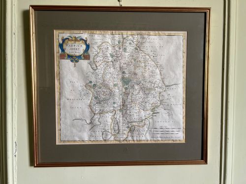
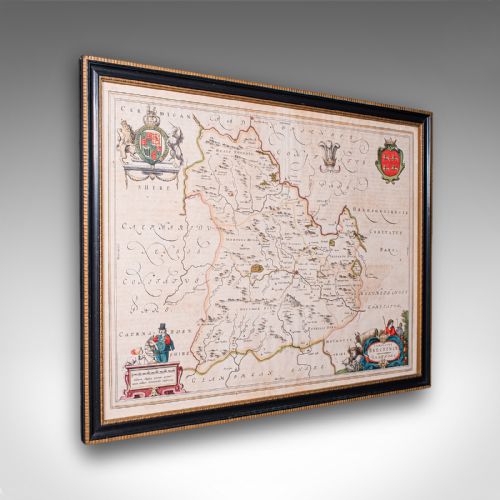
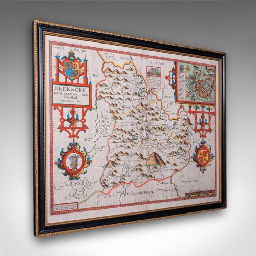
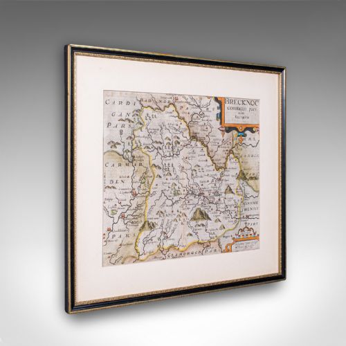









Framed County Map
A framed county map brings early cartography onto the wall, showing shires through the eyes of seventeenth and eighteenth-century cartographers.
Framed County Map
A framed county map is an engraved sheet depicting a specific British shire, often embellished with decorative cartouches, coats of arms and town plans. These pieces range from early seventeenth-century folio plates to later eighteenth and nineteenth-century updates.
The most common examples on this page date from the seventeenth century and feature works by cartographers such as Robert Morden and John Speed. They arrive preserved behind glass in wood frames, ready for hanging.
The selection encompasses English, Welsh and Scottish regions, produced by domestic publishers or continental Dutch houses. Each piece records the topography, settlements and administrative boundaries of its period.
How they were made
These maps begin as copperplate engravings on paper, impressed using a rolling press to transfer the fine lines of cartography. Many examples receive hand-colouring in watercolour to highlight boundaries and heraldic details.
Framing utilises timber such as oak, often finished with gold leaf gilding to complement the traditional aesthetic. Protective glass covers the paper to shield the delicate ink and pigment from environmental degradation.
Framed County Map Retail Price Guide 2026
Typical asking prices for framed county map among the pieces listed under this phrase on Sellingantiques today, from the lower quarter to the upper quarter. They describe what is for sale here now, not the wider market.
Early cartographers filled empty ocean spaces and rural corners with sea monsters, sailing ships and elaborate coats of arms.
What varies in quality
Quality rests in the impression clarity of the copperplate engraving and the preservation of the paper margins. Early strikes from plates before subsequent revisions show sharper detail and deeper ink penetration.
The application of early hand-colouring influences desirability, particularly when pigments remain bright and stable. The integration of period frames and genuine antique glass rather than modern replacements further elevates the piece.
Robert Morden·Joan Blaeu·John Speed·John Janssonius·Emanuel Bowen·John Cary
The Framed County Map Glossary
- Cartography
- The science and art of making maps. This discipline defined the detailed county surveys produced during the seventeenth and eighteenth centuries.
- Cartouche
- A decorative frame enclosing the map's title, scale or dedication. These ornate panels often incorporate heraldry, figures or local produce.
- Copperplate engraving
- A printing technique where lines are incised into a copper sheet with a burin. Ink is applied to the plate, wiped from the surface, and transferred under pressure to paper.
- Dual sided
- A sheet bearing cartographic text or maps on both front and back. This format frequently occurs in early atlases where pages served multiple reference functions.
- Atlas
- A bound collection of maps. Sheets were often removed from these volumes later for individual framing.
Framed County Map: Frequently Asked Questions
How do I identify the date of a map?
Dates are typically derived from the cartographer's active publishing window, specific atlas editions, or engraved publication notices within the margin.
Printers often updated plates with new roads or settlements over time, meaning the style of the typography and regional spellings also help narrow down the decade.
Are these maps original or reproductions?
The pieces listed here are original antique copperplate engravings printed in the centuries indicated, rather than modern photographic reproductions.
Close inspection under magnification reveals the characteristic indentation of the plate mark in the paper and the subtle texture of early ink.
Why are some maps printed in Dutch?
Publishers in Amsterdam such as Joan Blaeu and Johannes Janssonius produced comprehensive world atlases that included detailed British county maps for the international market.
These Dutch editions often featured Latin or Dutch text on the reverse side describing the geography of the shire.
How should I care for a framed map?
Keep the piece away from direct sunlight to prevent the watercolour pigments and paper from fading over time.
Maintain a stable indoor humidity level to protect both the antique paper substrate and the traditional wood frame.