

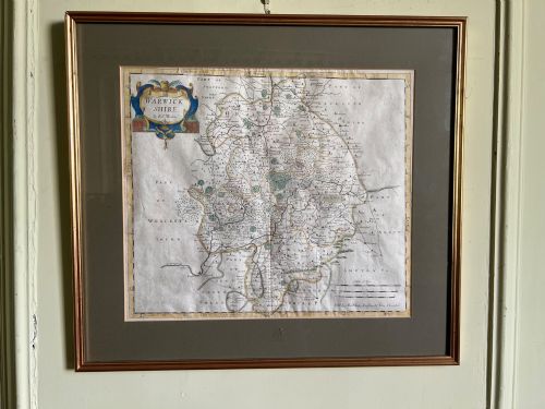
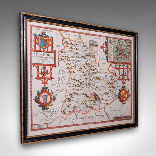




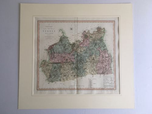


Historical English Map
These historical english map pieces are framed vintage cartography records that anchor a study or library wall with genuine period geography.
Historical English Map
A historical english map brings centuries of territorial design into domestic spaces through framed wall art and bound atlas sheets. These pieces span periods from the seventeenth century through the Georgian era and into Victorian production. Buyers encounter county layouts, coaching routes, and regional surveys mapped by notable cartographers.
The selections on this page concentrate heavily on English county maps and regional cartography. Examples range from seventeenth-century productions by makers like Robert Morden and John Speed to later Georgian and Victorian interpretations. Each piece delivers tangible historical geography framed for display.
Materials and Production
Framing materials reflect the period of presentation, combining wood mouldings such as oak with protective glass panes. Some older sheets retain traces of gold leaf on their frames, while backing structures rely on cardboard and heavy paper to support the antique maps.
Historical English Map Retail Price Guide 2026
Typical asking prices for historical english map among the pieces listed under this phrase on Sellingantiques today, from the lower quarter to the upper quarter. They describe what is for sale here now, not the wider market.
Materials across these listings include paper, ink, watercolour, oak, glass, and gold leaf, deployed across multiple centuries of framing traditions.
Judging Quality in Cartography
Quality rests upon the clarity of the original plate impression and the crispness of the engraved line work. Sharp typography and well-defined cartouche details separate superior map printings from worn impressions. Contemporary hand-colouring executed with precision also elevates the visual strength of a sheet.
The condition of the paper surface and the integrity of any associated framing contribute significantly to overall desirability. Clean margins, minimal foxing, and stable paper substrates ensure the longevity of these historical documents on the wall.
Blaeu·Ogilby·Thomas Jefferys·Robert Morden·John Speed·J. Duncan·C. Smith
The Historical English Map Glossary
- Cartography
- The science and art of making maps. This discipline encompasses the projection, design, and production of geographical records.
- Cartouche
- A decorative frame enclosing the map title, scale, or dedication. These ornate graphic elements often display heraldry or allegorical figures.
- Atlas
- A bound collection of maps. These volumes historically gathered regional and global surveys into a single reference book.
- Lithography
- A planographic printing process using oil and water on a stone or metal plate. This technique gained prominence during the nineteenth century for producing detailed topographical views.
- Foxing
- Brown spots and discolouration that develop on old paper over time. Chemical reactions and fungal growth typically cause these age-related marks.
Historical English Map: Frequently Asked Questions
How do I hang a framed map safely?
Support the weight of the frame using sturdy picture hooks fixed directly into wall studs or appropriate masonry fixings. Keep the piece away from direct sunlight and damp environments to protect the fragile paper.
Ensure the hanging wire or brackets are securely attached to the wooden frame before mounting. Period frames require careful handling to preserve their original finish.
What periods do these maps cover?
The available pieces span the seventeenth century through the Georgian and Victorian eras. This timeline captures significant shifts in surveying accuracy and decorative cartographic style.
Earlier examples from the 1600s feature ornate decorative borders, while nineteenth-century works focus on precise topographical detail and lithographic reproduction.
Are these maps original period printings?
The listings comprise authentic period items produced during the dates attributed to each cartographer or publisher. Paper stocks, printing techniques, and ink characteristics correspond to their stated eras.
Examination of the plate marks and paper edges helps confirm the historical authenticity of each individual sheet.
How should I clean an antique map frame?
Dust the wooden frame gently with a dry, soft cloth to remove surface particles without disturbing the finish. Avoid using chemical sprays or liquid cleaners that might seep behind the glass.
Glass surfaces can be wiped with a minimal amount of window cleaner applied to a cloth rather than sprayed directly onto the frame.