











Vintage Map Print
When you search for a vintage map print, you find centuries of cartography captured on paper and framed in wood.
Vintage Map Print
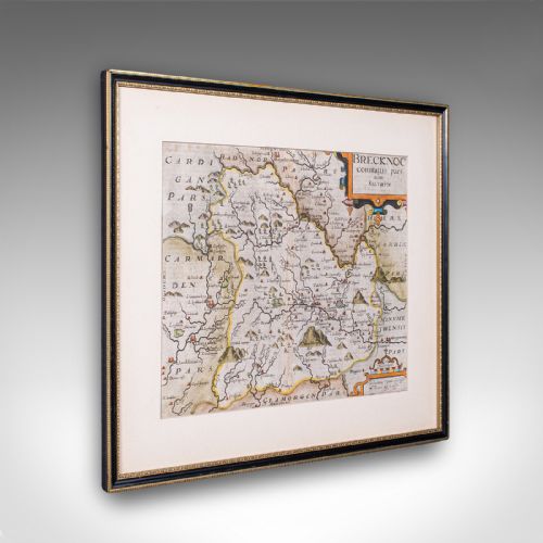
A vintage map print encompasses framed cartography, wall maps, and atlas engravings spanning the seventeenth century to the twentieth century. These pieces record counties, countries, and global voyages through the work of notable cartographers.
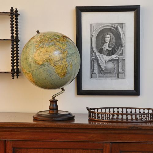
The selection on this page relies heavily on framed county maps, town plans, and terrestrial globes. English, Dutch, and French cartography dominate the forms available to collectors.
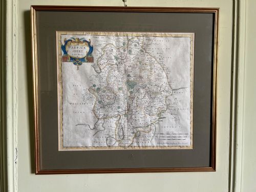
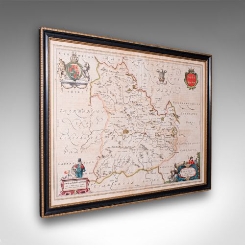
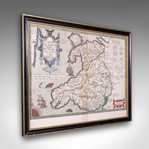
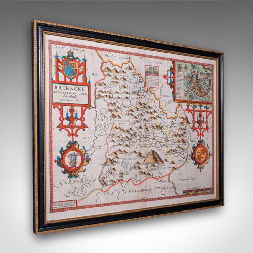
Framed map items range from detailed regional surveys by Robert Morden to continental views published in Dutch atlases. Buyers encounter both single sheet engravings and folio formats designed for display.
Materials and construction methods
Cartographic works rely on ink applied to handmade paper, often framed behind glass within wood or mahogany moulding. Some pieces incorporate brass fittings and gold leaf accents on globes and stands.
Printmakers utilised copperplate engraving techniques to press fine lines into paper, frequently adding hand-colouring to delineate boundaries. Cabinets and folio stands utilise oak, pine, and mahogany joined with traditional cabinetry methods.
Vintage Map Print Retail Price Guide 2026
Typical asking prices for vintage map print among the pieces listed under this phrase on Sellingantiques today, from the lower quarter to the upper quarter. They describe what is for sale here now, not the wider market.
Some globes record political borders that shifted within a single lifetime, capturing empires that have long since vanished from the earth.
Evaluating quality and execution
Quality rests upon the clarity of the plate impression, the precision of the cartography, and the preservation of the paper. Early impressions taken when the copperplate was fresh display sharper lines than later reprints.
Original hand-colouring applied during the period commands greater appreciation than modern tinting. The integrity of the framing materials and the retention of full margins on the paper sheet also determine the standing of the piece.
John Speed·Joan Blaeu·Robert Morden·Thomas Jefferys·Whytock and Reid
The Vintage Map Print Glossary
- Cartography
- The science or practice of drawing maps. This discipline forms the core subject of the framed prints and atlases available.
- Engraving
- A printmaking technique where an image is incised into a copper plate. Ink is then transferred from the plate to paper under pressure.
- Terrestrial globe
- A spherical model of the Earth mounted on a stand. These objects range in date from the Georgian era into the twentieth century.
- Folio stand
- A piece of furniture designed for holding large books or unbound maps. Examples in mahogany and oak support storage for flat works on paper.
- Atlas
- A bound collection of maps. Individual sheets extracted from these volumes frequently appear as framed wall art.
Vintage Map Print: Frequently Asked Questions
What is a vintage map print?
A vintage map print is a historical cartographic work reproduced or printed on paper, often framed for wall display. These items capture geographical knowledge from specific eras.
Examples include county surveys, town plans, and world maps produced by historical mapmakers using copperplate engraving techniques.
How do I date an antique map?
Dating relies on the cartographic content, the paper characteristics, and the typography used for place names and titles. Reference to known historical surveys provides a precise window of creation.
Engravers often included publication details, or the style of the decorative cartouche can indicate the period of manufacture.
How should I care for framed maps?
Display framed maps away from direct sunlight to prevent the ink and paper from fading over time. Maintaining stable indoor humidity protects the paper from warping.
Glazing should be kept clean with appropriate glass cleaner applied to the cloth rather than directly to the frame.
Where were these maps made?
Historical map production centred in European publishing hubs, notably in England, the Netherlands, and France. Master cartographers worked within workshops to compile and print regional surveys.
Dutch publishers produced extensive atlases, while English cartographers focused on county maps and colonial territories.