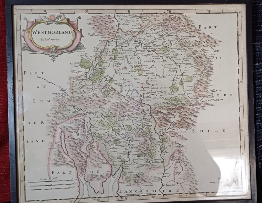
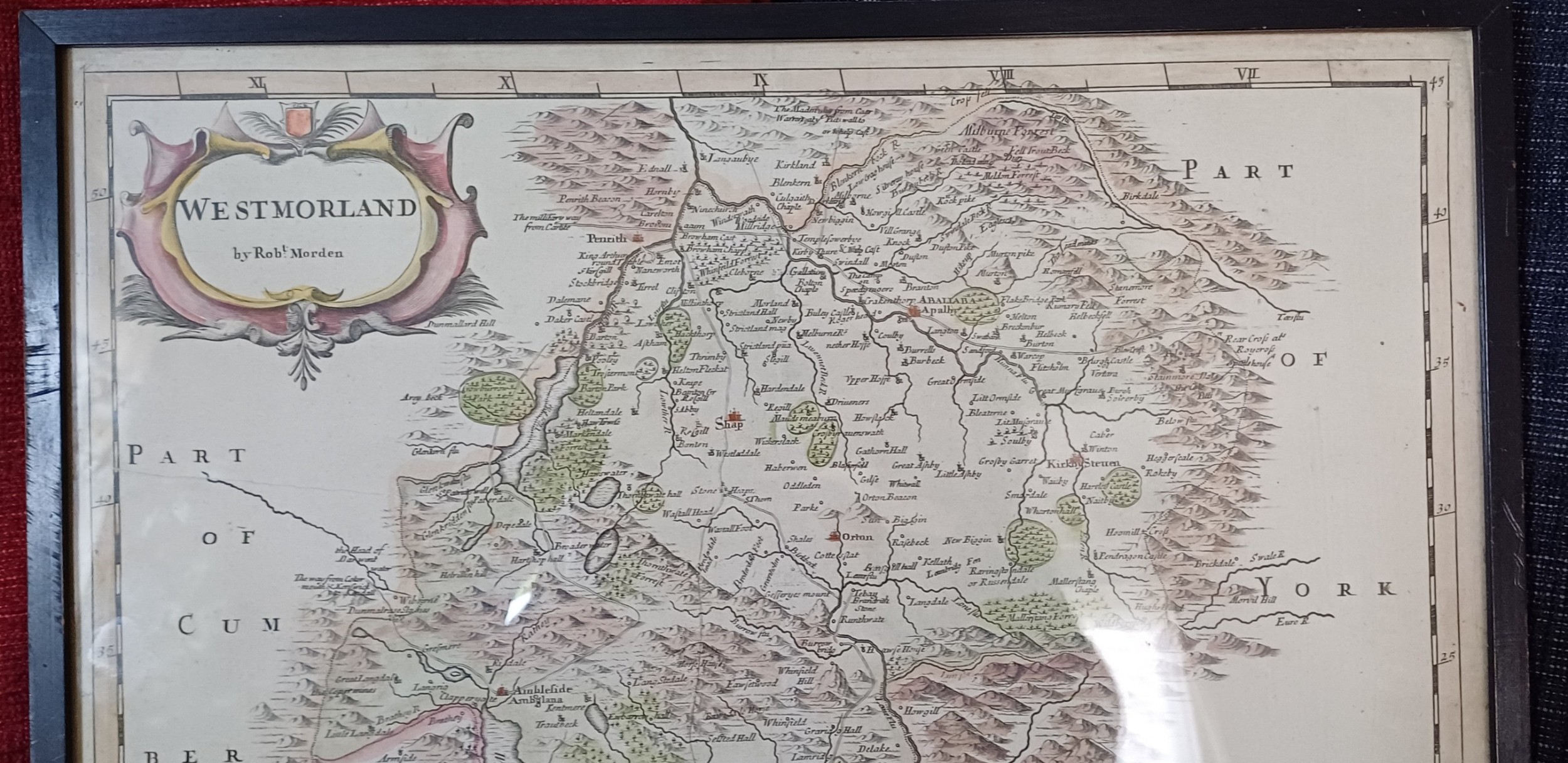
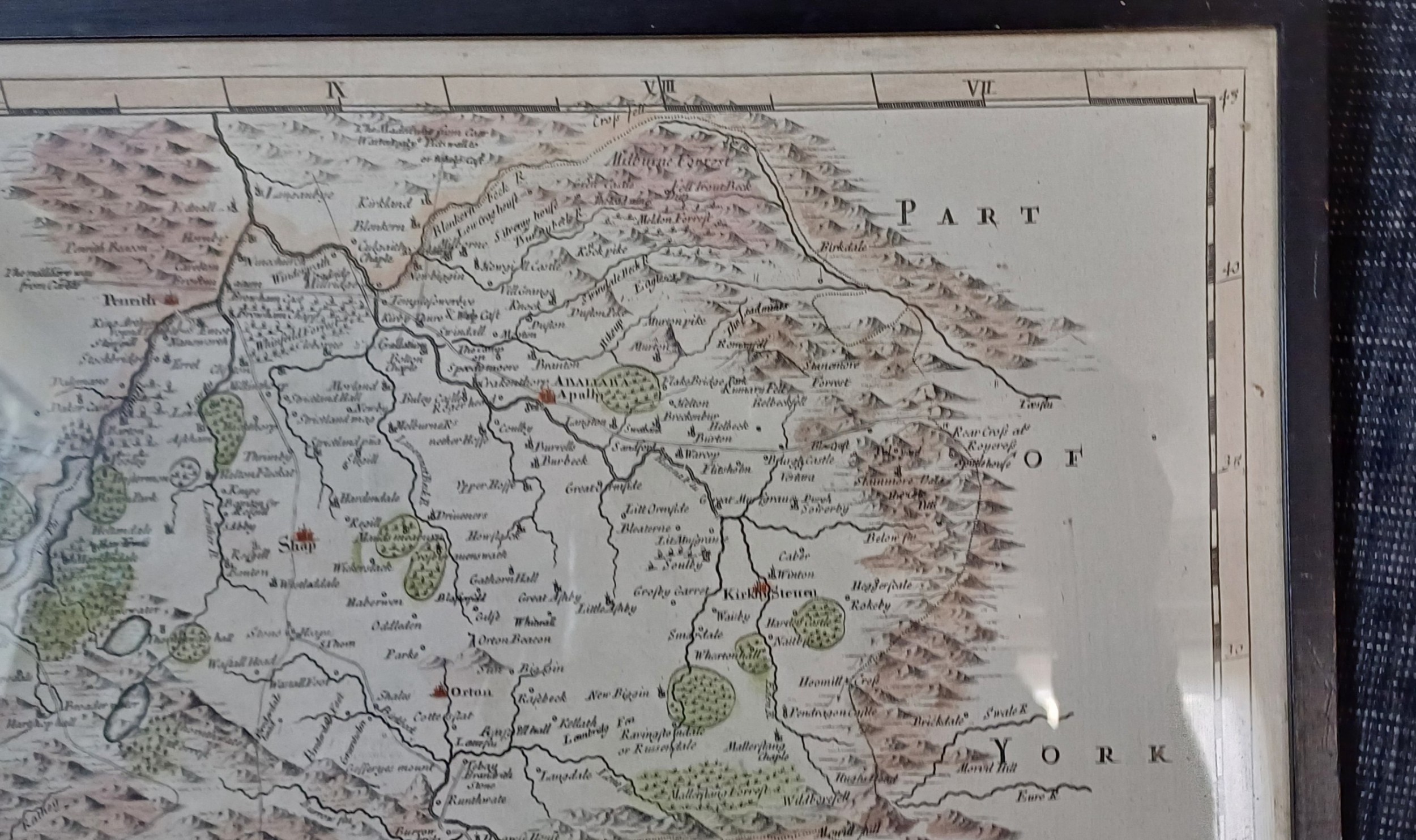
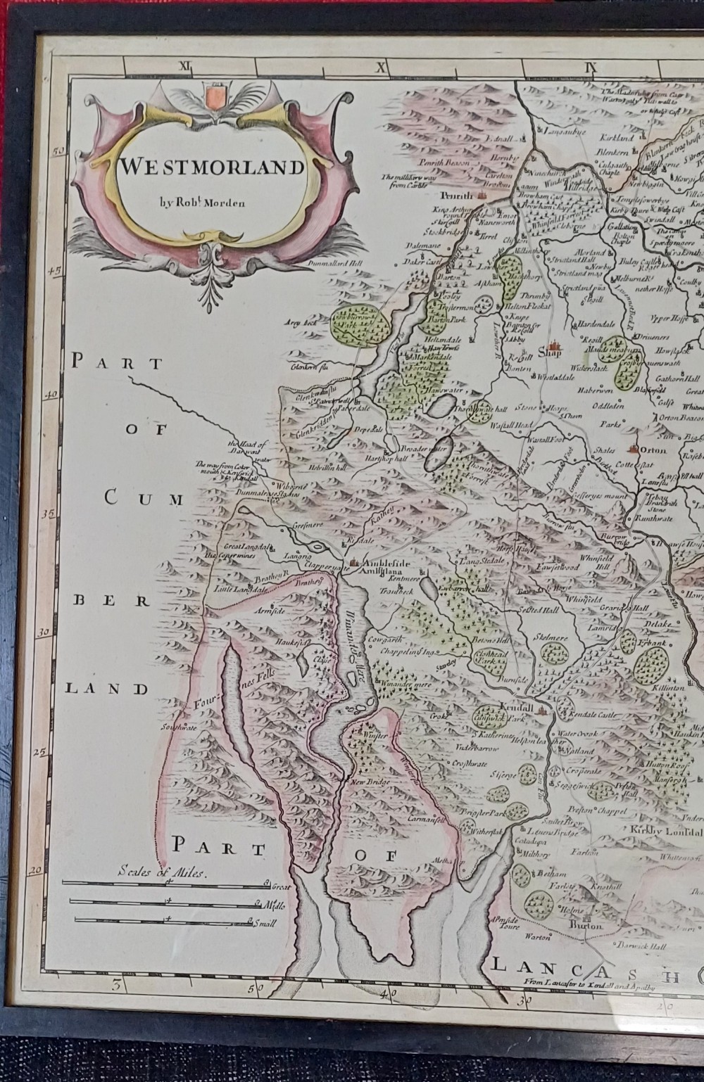
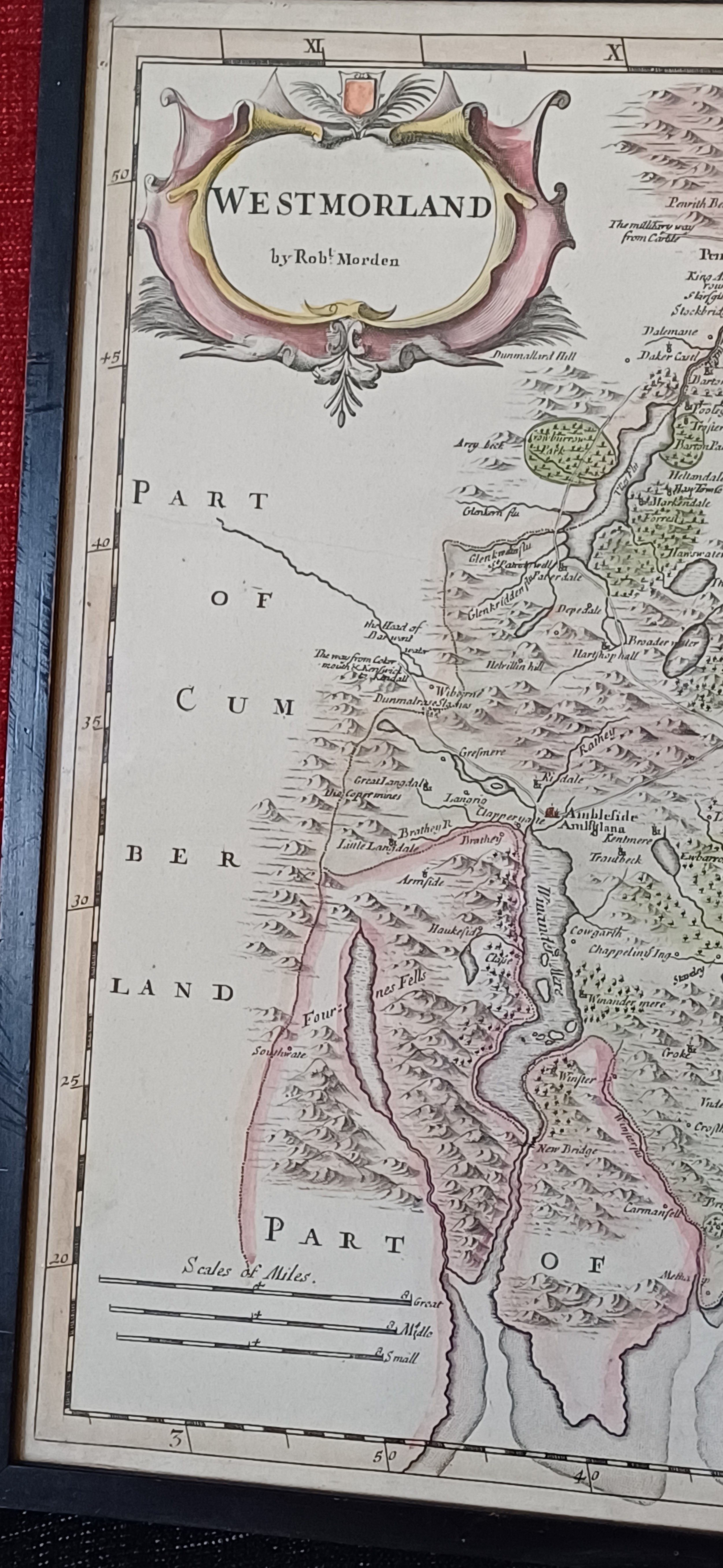
Oliver Sargent Antiques has dated this Robert Morden Westmorland Map to the 18th Century.
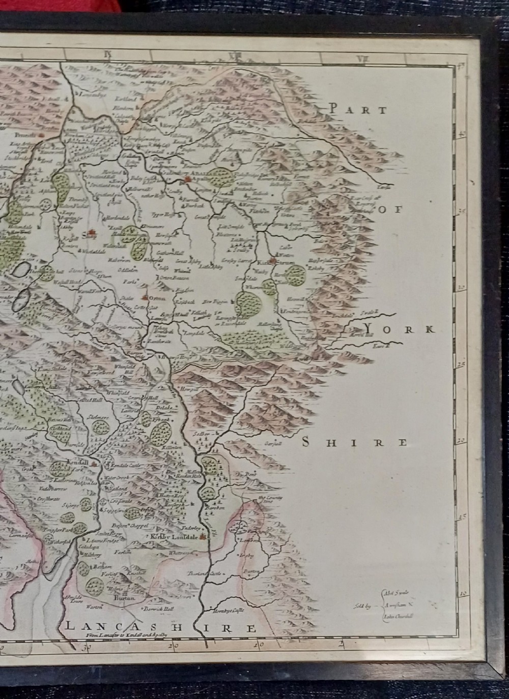
Sold by Abel Swale, A Wnfham & John Churchill
Description: 18th century map of the county of Westmorland by Robert Morden. Also name places include Kirby Lonsdale, Ambleside, Windermere, Kendall.
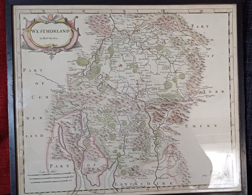
Still bright and excellent condition.
Map Size approx14 x 16.1/2. inches. Frame and glazed size 18 ¼ by 15 ¾ inches
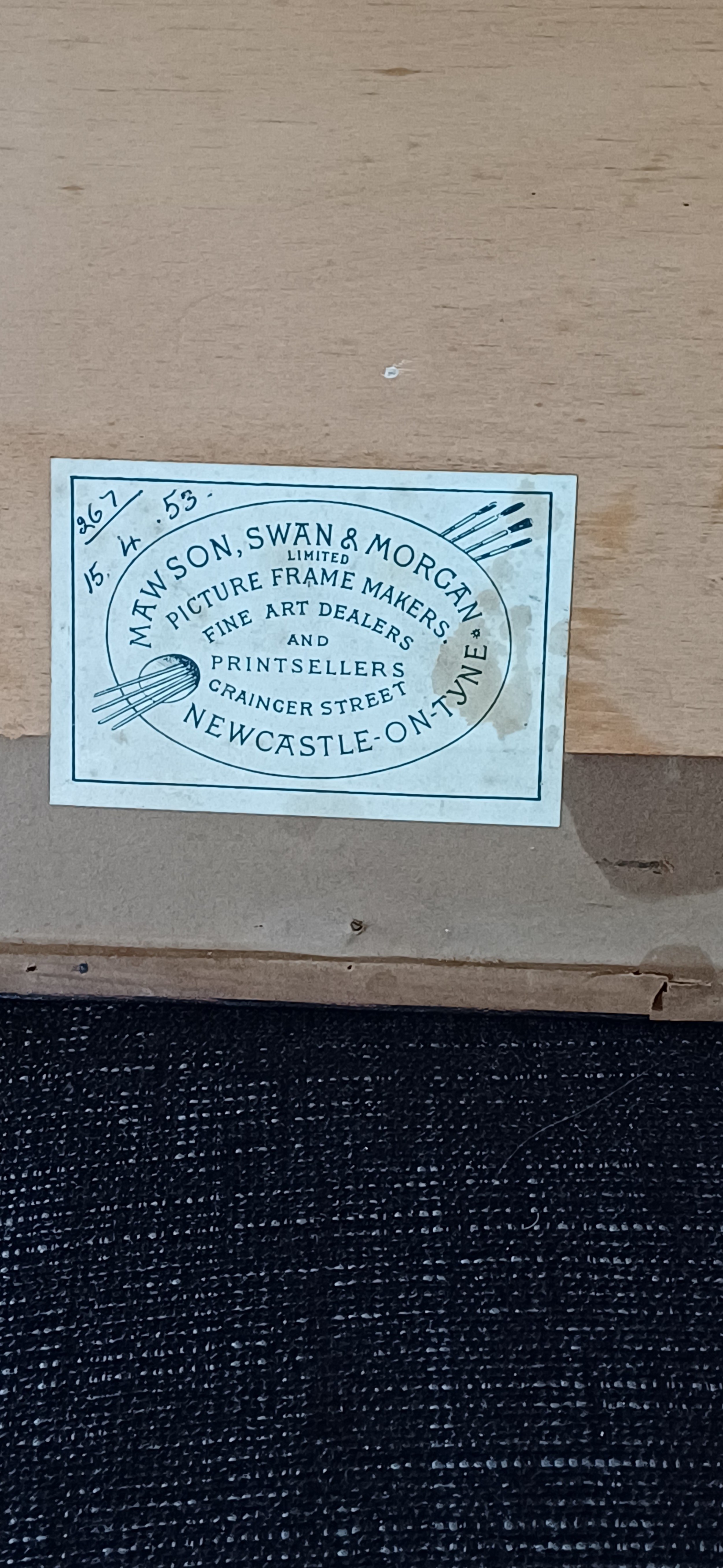
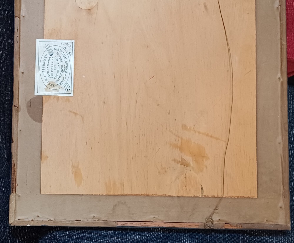
Old original framing label to reverse dated 15th April 1953
Price £135.00 inclusive of shipping to within the UK
please visit: www.oliversargentantiques.com
Oliver Sargent Antiques has dated this Robert Morden Westmorland Map to the 18th Century.
Specialists in vintage military watches & clocks and antique oriental ceramics & works of art
You can view the stock and full dealer information on the Oliver Sargent Antiques Profile Page
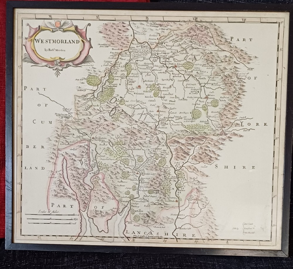
Antique Map of Westmorland, by Rob't Morden, Early 18th Century0