65,215  PAGES BROWSED TODAY PAGES TODAY • 237 ANTIQUES UPLOADED TODAYNEW ARRIVALS
GIFTS
237 ITEMS ADDED TODAY
Sort Order
Items Per Page
Browse Categories
Sort order
Relevant Links
Items per page
ID #SA1148927
FOR SALE
£135
Email Phone
Save
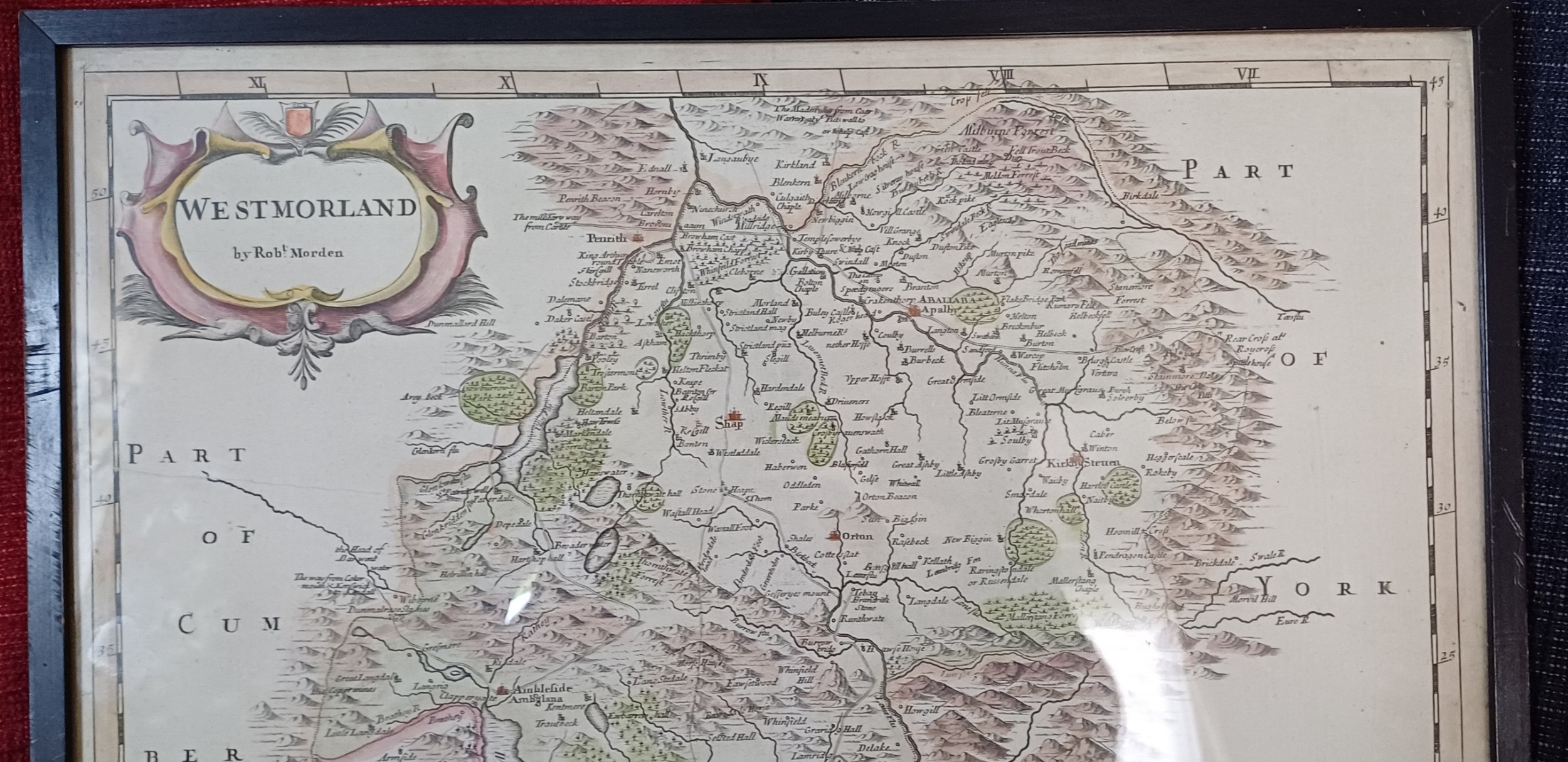
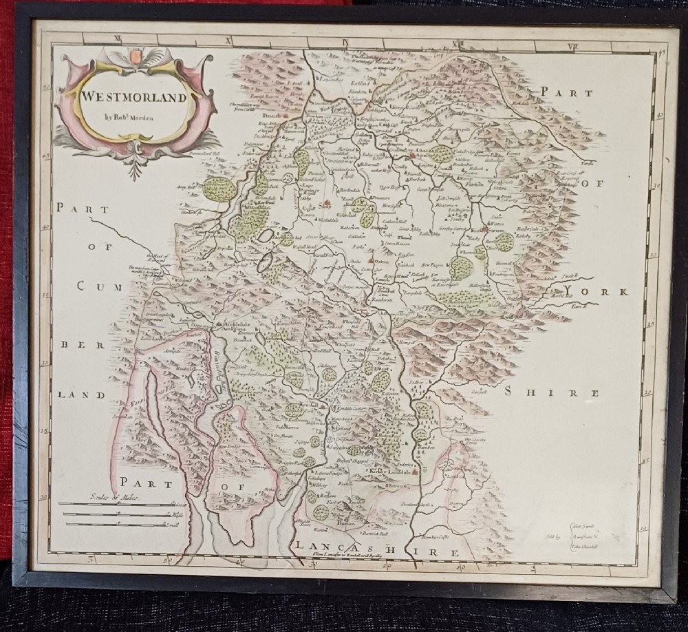
Antique Map of Westmorland, by Rob't Morden, Early 18th Century0
For sale by Oliver Sargent Antiques
for sale €158     $171
£135

Oliver Sargent Antiques

Sellingantiques Verified Since Jul 2013
Browse dealers 99 items
  • About Us
    Specialists in vintage military watches & clocks and antique oriental ceramics & works of art
Id #SA1148927
PDF SHARE
SAVE

Antique Map of Westmorland, by Rob't Morden, Early 18th Century0

18th century
Description

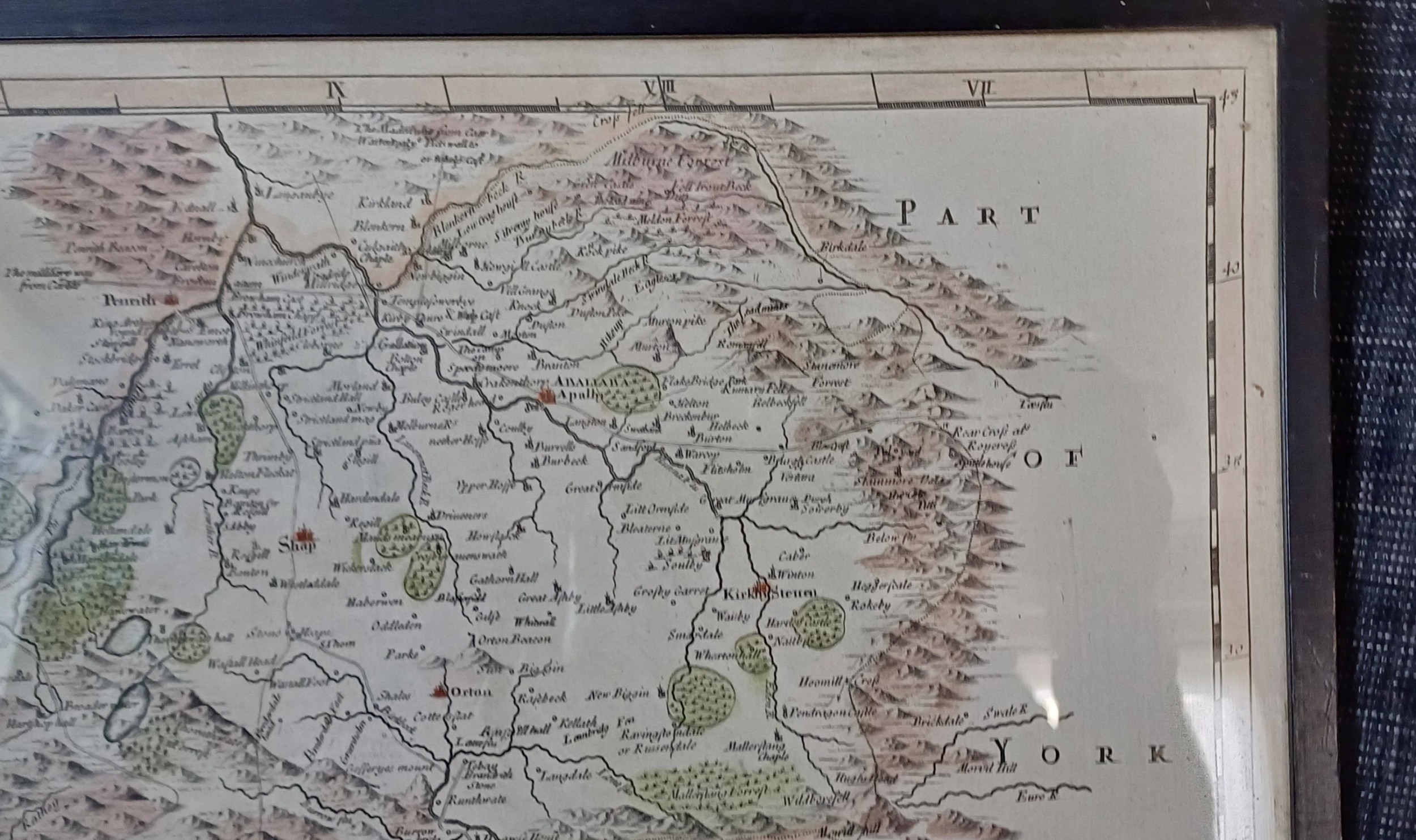
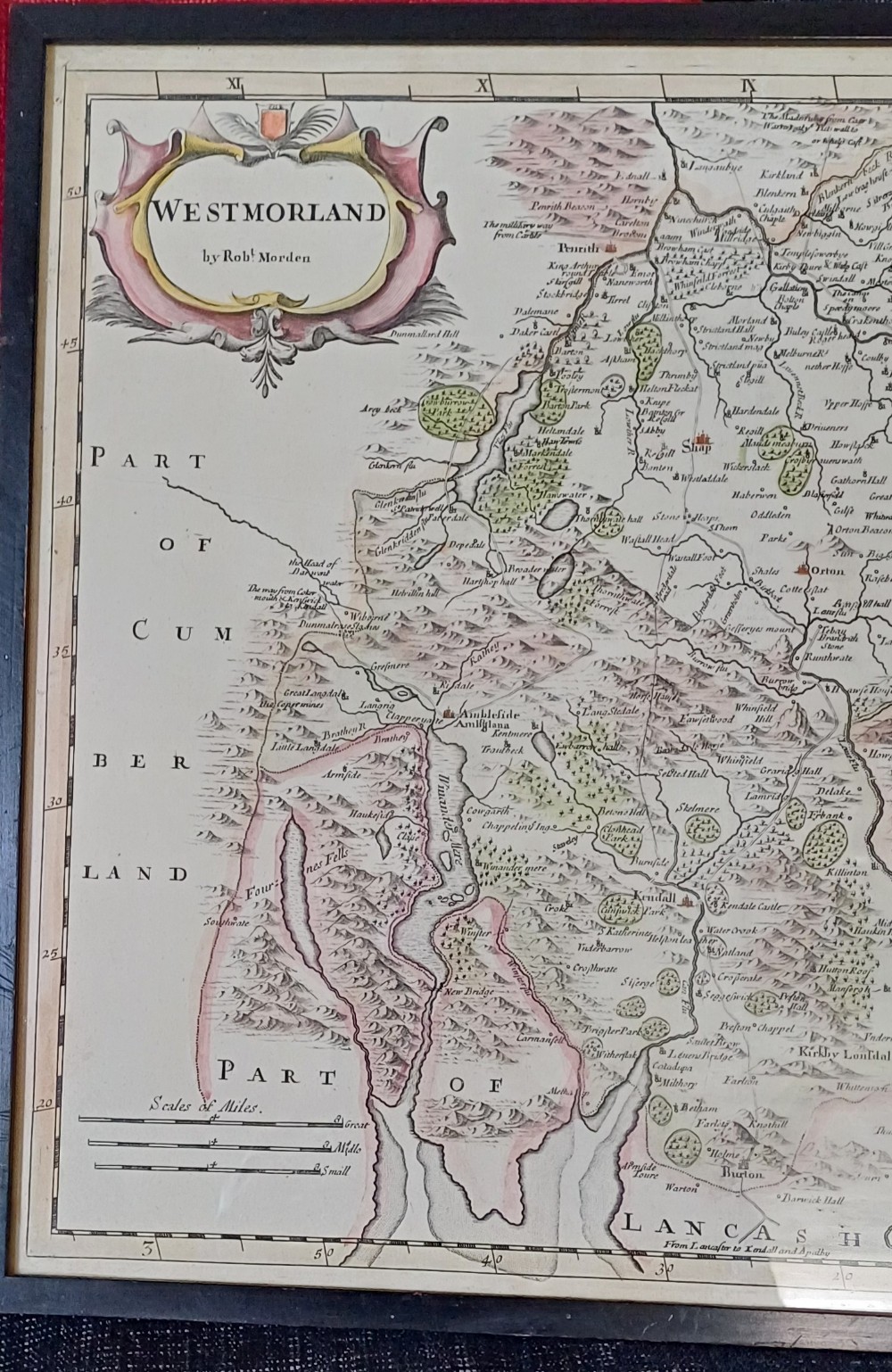
Antique Map of Westmorland, by Rob't Morden, early 18th century

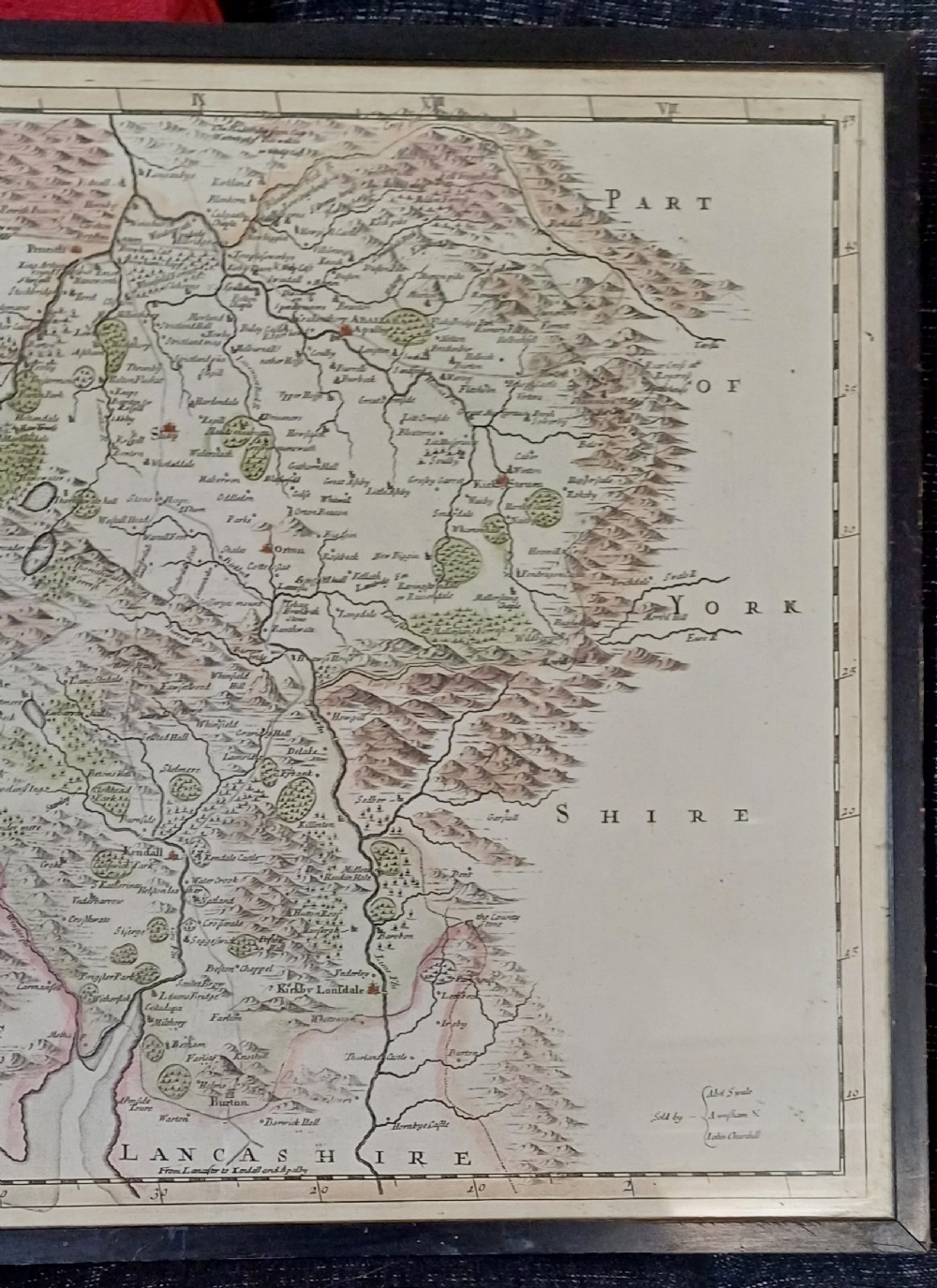
Sold by Abel Swale, A Wnfham & John Churchill

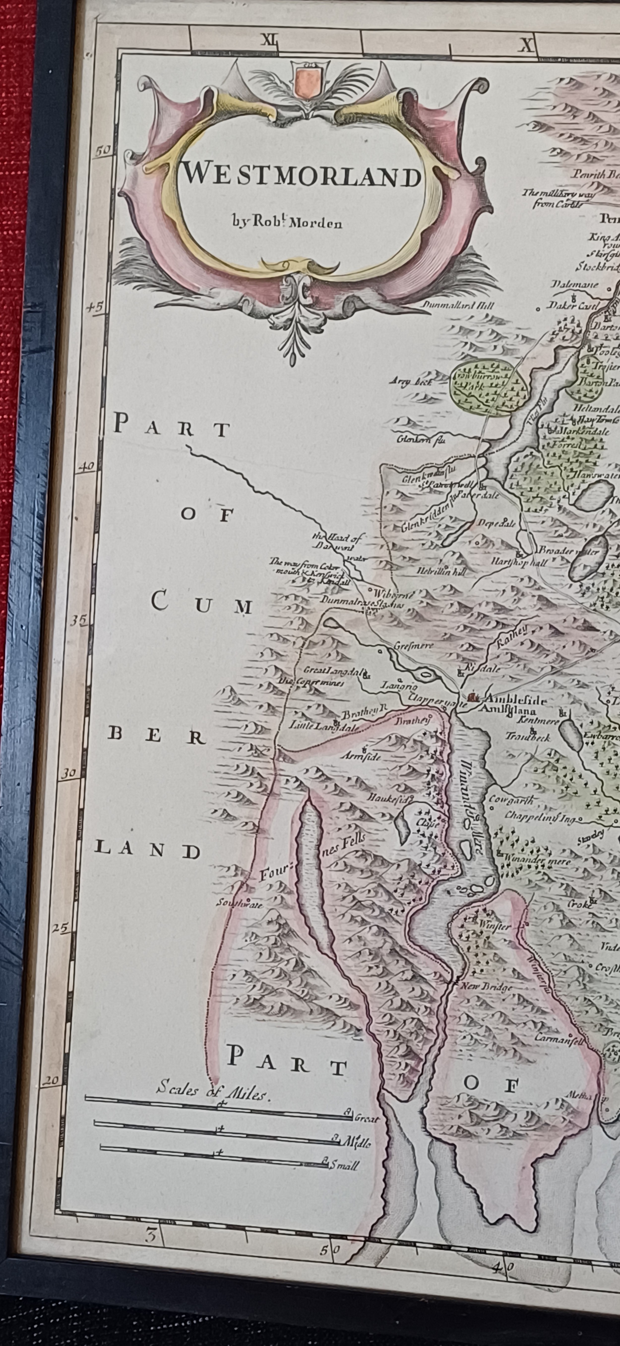
Description: 18th century map of the county of Westmorland by Robert Morden. Also name places include Kirby Lonsdale, Ambleside, Windermere, Kendall.
Still bright and excellent condition.

Map Size approx14 x 16.1/2. inches. Frame and glazed size 18 ¼ by 15 ¾ inches

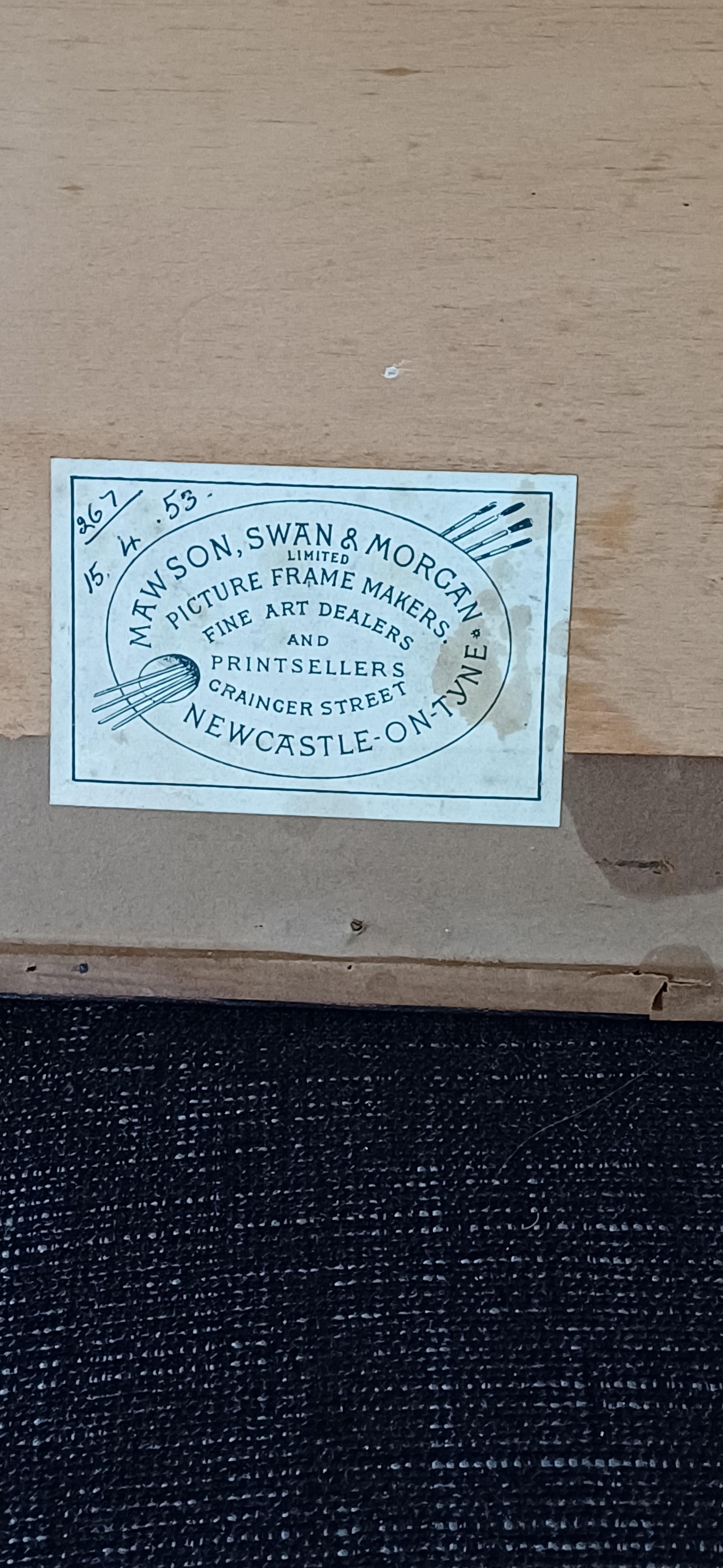
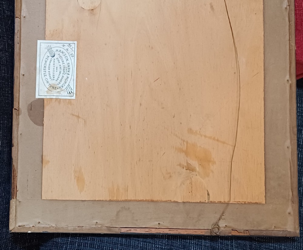
Old original framing label to reverse dated 15th April 1953

Price £135.00 inclusive of shipping to within the UK

You can find more items of interest and purchase through our website, using all major credit cards:

please visit: www.oliversargentantiques.com

Physical Dimensions
Height
40cm (15.75")
Width
46cm (18.11")
Depth
1.5cm (0.59")
Declaration

Oliver Sargent Antiques has dated this Robert Morden Westmorland Map to the 18th Century.

Reference Numbers
Sellingantiques Reference
SA1148927
Dealers Internal Reference
OSA 1466
Description
Antique Map of Westmorland, by Rob't Morden, early 18th century

Sold by Abel Swale, A Wnfham & John Churchill

Description: 18th century map of the county of Westmorland by Robert Morden. Also name places include Kirby Lonsdale, Ambleside, Windermere, Kendall.

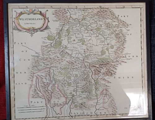
fig 1. An 18th-century framed copperplate map of Westmorland by Robert Morden with hand-coloured details and a decorative cartouche.
fig 1. Antique Map of Westmorland, by Rob't Morden, Early 18th Century0

Still bright and excellent condition.

Map Size approx14 x 16.1/2. inches. Frame and glazed size 18 ¼ by 15 ¾ inches

Old original framing label to reverse dated 15th April 1953

Price £135.00 inclusive of shipping to within the UK

“
You can find more items of interest and purchase through our website, using all major credit cards:.
Oliver Sargent Antiques

please visit: www.oliversargentantiques.com

Height
40cm (15.75")
Width
46cm (18.11")
Depth
1.5cm (0.59")
Date of Manufacture

Oliver Sargent Antiques has dated this Robert Morden Westmorland Map to the 18th Century.

Reference Numbers
Sellingantiques Ref
SA1148927
Dealers Internal Ref
OSA 1466
Oliver Sargent Antiques
Sellingantiques verified Since Jul 2013

Specialists in vintage military watches & clocks and antique oriental ceramics & works of art

Dealer Profile

You can view the stock and full dealer information on the Oliver Sargent Antiques Profile Page
PDF SHARE
SAVE
An 18th-century framed copperplate map of Westmorland by Robert Morden with hand-coloured details and a decorative cartouche.
1 / 9
Archive I An 18th-century framed copperplate map of Westmorland by Robert Morden with hand-coloured details and a decorative cartouche.

Antique Map of Westmorland, by Rob't Morden, Early 18th Century0
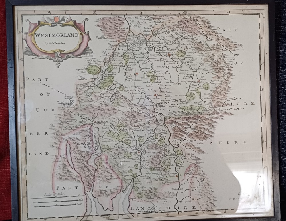
Archive II An 18th-century framed copperplate map of Westmorland by Robert Morden with hand-coloured details and a decorative cartouche. View II
Archive III An 18th-century framed copperplate map of Westmorland by Robert Morden with hand-coloured details and a decorative cartouche. View III
Archive IV An 18th-century framed copperplate map of Westmorland by Robert Morden with hand-coloured details and a decorative cartouche. View IV
Archive V An 18th-century framed copperplate map of Westmorland by Robert Morden with hand-coloured details and a decorative cartouche. View V
Archive VI An 18th-century framed copperplate map of Westmorland by Robert Morden with hand-coloured details and a decorative cartouche. View VI
Archive VII An 18th-century framed copperplate map of Westmorland by Robert Morden with hand-coloured details and a decorative cartouche. View VII
Archive VIII An 18th-century framed copperplate map of Westmorland by Robert Morden with hand-coloured details and a decorative cartouche. View VIII
Archive IX An 18th-century framed copperplate map of Westmorland by Robert Morden with hand-coloured details and a decorative cartouche. View IX
Enlarged Archival View
Telephone 07804 225 614
Location
Sturminster
Newton
Dorset
United Kingdom
Verified Since Jul 2013
Items For Sale 99
Items Sold 400
Oliver Sargent Antiques
Verified Since Jul 2013
View Dealer Info
Location: Sturminster, Newton, Dorset, United Kingdom
Verified
Jul 2013
For Sale
99
Sold
400
An 18th-century framed copperplate map of Westmorland by Robert Morden with hand-coloured details and a decorative cartouche.
Antique Map of Westmorland, by Rob't Morden, early 18th century0
Ref: SA1148927
An 18th-century framed copperplate map of Westmorland by Robert Morden with hand-coloured details and a decorative cartouche.
Detail View 1
Detail View 2
Detail View 3
Detail View 4
Detail View 5
Detail View 6
Detail View 7
Detail View 8
Archival Detail
Every single antique dealer on our platform is individually approved by our internal team. We verify their professional trade history, ethical standards, and photographic quality to ensure a secure, high-standard buying environment. Upon joining, every dealer agrees to a strict 9-point code of conduct. While issues can occasionally arise, our dealers typically resolve them swiftly and directly with the buyer. In fact, since our founding in 2002, Sellingantiques has only had to step in to help resolve an issue on roughly five occasions—a true testament to the quality of our dealers and their dedication to your happiness.
Our dealers are highly experienced in packing and shipping fragile, high-value antiques. Because you are in direct contact with the dealer, you will be able to easily go through all available shipping and insurance options together to ensure your item arrives safely.
Antiques are the ultimate green purchase. By choosing historical pieces over newly manufactured goods, you completely eliminate the carbon footprint of modern mass production while preserving exceptional, timeless craftsmanship.
Written by Sellingantiques from the dealer’s photographs and listing
  • ObjectFramed Map
  • Period18th century
  • StyleGeorgian
  • MaterialPaper, Wood, Glass
  • ColourCream
  • MotifsDecorative cartouche, Copperplate engraving, Hand-tinted borders, Topographical shading
  • SizeH 40 cm (16 in) x W 46 cm (18 in) x D 1.5 cm (1 in)

An 18th-century framed copperplate map of Westmorland by Robert Morden presents hand-tinted borders, topographical shading, and a decorative cartouche. The paper map features place names such as Kirby Lonsdale, Ambleside, Windermere, and Kendall, alongside text crediting sellers Abel Swale, A Wnfham, and John Churchill. The piece is set within a dark wooden frame with a glass panel, displaying a cream-coloured background with soft pink and green hand-tinting and dark typography. An old original framing label to the reverse is dated 15th April 1953. Measuring 40 cm high, 46 cm wide, and 1.5 cm deep, this Georgian map belongs in a gentleman's library study or above a sideboard in a living room. It hangs securely on a wall to bring historical character and traditional cartographic design to an interior space.

Robert Morden was a prominent 17th-century English cartographer best known for his series of county maps published in Edmund Gibsons 1695 edition of William Camdens Britannia. These maps feature distinct decorative cartouches and detailed depictions of hundred boundaries, roads, and settlements.

Maps from this era were printed using copperplate engraving techniques onto handmade rag paper. Detail lines were etched directly into metal plates, printed in monochrome ink, and typically tinted by hand with watercolour washes.

Authentic copperplate engravings exhibit a distinct plate mark impression around the border, laid paper chain lines when held to light, and characteristic age-related toning or foxing. Later offset reproductions lack plate indentations and exhibit dot-matrix patterns under magnification.

Framed historical maps can be hung above a sideboard or styled within a gallery wall alongside contemporary artwork. Mounting them in dark wood or simple black frames creates visual contrast against neutral backdrop walls.

To prevent fading and deterioration, display paper prints away from direct sunlight and high humidity. Ensure the framing incorporates UV-protective glass and acid-free archival mounting materials to prevent paper discoloration.
items
Add keywords to the filter
Price
£100
£250000
Era
Period
Style
Material
Origin
Stock Location
Recently Added
Online Payments
Categories