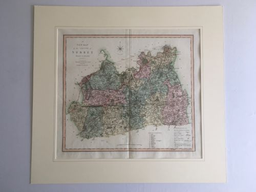
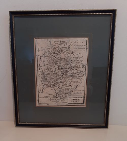
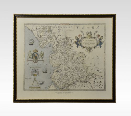
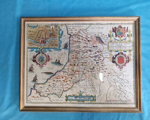
A framed county map brings early cartography onto the wall, showing shires through the eyes of seventeenth and eighteenth-century cartographers.
Listings span multiple centuries, uniting seventeenth-century Dutch atlas plates by Joan Blaeu with Georgian county surveys by Robert Morden and later nineteenth-century cartography.