

Surrey Antiques by Gary J Hall has dated this Robert Morden Antique Map to the 18th Century.

The map is particularly distinguished by its use of three different mileage scales, a feature that underscores the precision and attention to detail that were hallmarks of Morden’s work. This inclusion would have been of immense practical value at the time, offering viewers a versatile tool for gauging distances across the shire.

The visual appeal of the map is undeniable, with its intricate detailing and attractive design. It not only serves as a navigational aid but also as a piece of art, capturing the essence of Huntington-shire during a period of significant historical importance.

As a historical artifact, the map provides a window into the past, offering insights into the county’s geography as understood in the late 17th and early 18th centuries. It is a remarkable piece that would be a valuable addition to any collection, appealing to both historians and connoisseurs of cartography alike.
Frame: 23 inches x 20 1/2 inches (58.5 cm x 52 cm)
Surrey Antiques by Gary J Hall has dated this Robert Morden Antique Map to the 18th Century.
We offer a friendly and reliable service based on traditional values, where personal service and customer satisfaction are paramount..
You can view the stock and full dealer information on the Surrey Antiques by Gary J Hall Profile Page
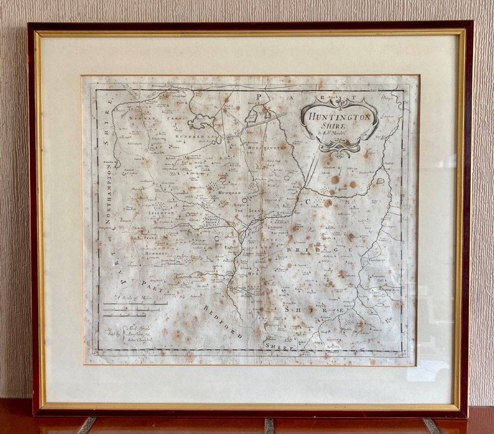

Map of Huntington Shire by Robert Morden, Circa 1722


