





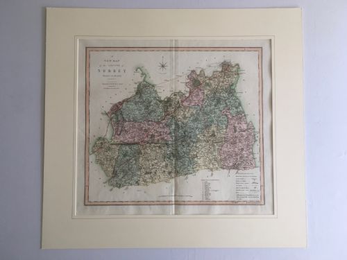


Hand Coloured Copperplate Map
These hand coloured copperplate map examples bring early cartography into interiors, offering detailed regional views finished with pigment.
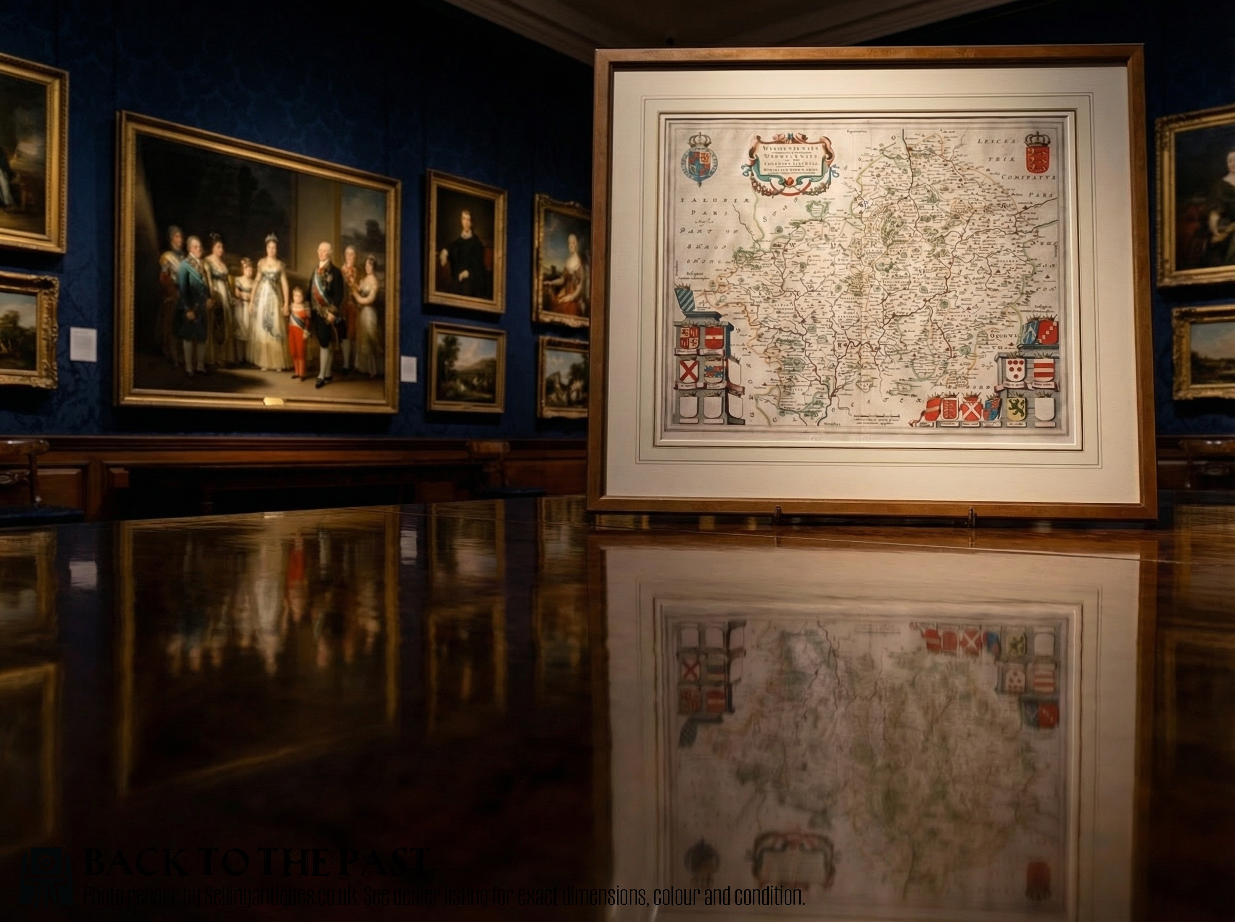
Hand Coloured Copperplate Map
A hand coloured copperplate map represents printed cartography finished with pigment by hand, spanning origins from the pre-16th century through the 19th century. These pieces record counties, regions, and empires across English and European atlases, often encountered within framed wall art.
Makers and cartographers in the evidence include Braun and Hogenberg, Joan Blaeu, Robert Morden, Johannes Janssonius, Thomas Kitchin, Gerard Mercator, Eman Bowen, Christopher Saxton, and C. Smith. The forms encompass English and European atlases, county maps, and town plans produced during the Renaissance, Dutch Golden Age, and Georgian periods.
The selection ranges from early pre-16th century town plans to 19th-century county engravings. Buyers encounter works from Dutch Baroque and William and Mary styles alongside 18th-century English cartography.
Materials and construction
Plates of metal receive engraved lines to form the map matrix, transferring the image onto paper using ink. Subsequent application of watercolour adds tone to boundaries and cartouches.
Framing often incorporates wood, glass, card, and gold leaf or gilt finishes to protect the paper sheet. The physical support relies on laid or woven paper substrates combined with historical framing materials.
Hand Coloured Copperplate Map Retail Price Guide 2026
Typical asking prices for hand coloured copperplate map among the pieces listed under this phrase on Sellingantiques today, from the lower quarter to the upper quarter. They describe what is for sale here now, not the wider market.
Early cartographers occasionally filled blank ocean spaces with mythical sea monsters and elaborate sailing ships.
Assessing quality
The crispness of the copperplate impression dictates the clarity of the engraved line work and lettering. Early strikes from plates generally yield sharper geographical detail than later impressions.
The application and preservation of the watercolour pigment influence visual cohesion across the sheet. Original pigment retention without fading or heavy acid toning separates superior survivals.
Braun and Hogenberg·Joan Blaeu·Robert Morden·Johannes Janssonius·Thomas Kitchin·Eman Bowen·Christopher Saxton·C. Smith
The Hand Coloured Copperplate Map Glossary
- Copperplate
- An engraved metal plate used for printing maps and text onto paper. This technique allowed intricate lines and small lettering to be replicated.
- Atlas
- A bound collection of maps published together. Historical examples often supplied county or regional engravings for collectors.
- Cartouche
- A decorative frame enclosing the map title, scale, or maker attribution. These elements often display elaborate heraldry or ornamentation.
- Gilt
- A gold coating applied to frames or map details. It provides a decorative border for wall art displays.
Hand Coloured Copperplate Map: Frequently Asked Questions
How are antique maps dated?
Dating relies on internal evidence such as cartouche text, historical place names, and publisher imprints recorded on the plate. Comparative study of known atlas editions helps narrow the year of publication.
Stylistic shifts in cartography and the lifespan of the mapmaker provide further chronological markers for these paper works.
What is an atlas engraving?
An atlas engraving is a map printed from an engraved metal plate specifically for inclusion in a bound volume of geography. These sheets were frequently removed later for framing as wall art.
They record administrative boundaries and topography current to the publisher's period of operation.
How should framed maps be hung?
Framed maps require placement away from direct sunlight to prevent the watercolour pigments and paper from fading. Stable indoor humidity protects the paper substrate and frame materials from warping.
Glazing should ideally use materials that filter ultraviolet light to preserve the ink and colour over time.
Are these maps original period prints?
The listings comprise original printings from the dates attributed to the respective cartographers and publishers. Each sheet originates from the historical period of its copperplate production.
Subsequent hand colouring applies pigment over the printed ink lines in keeping with historical practice.