

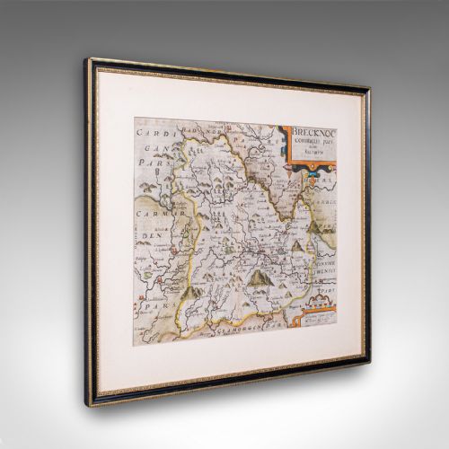



Seventeenth Century Engraved Map
These seventeenth century engraved map pieces bring seventeenth century cartography, Dutch Baroque design, and Carolean wall art into the home.
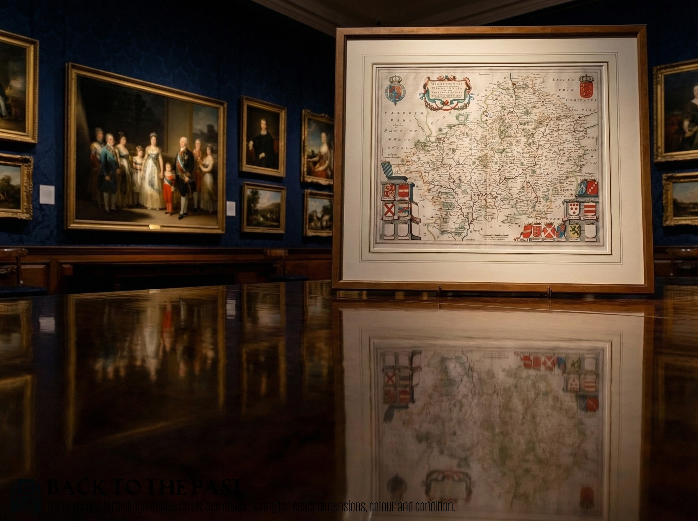
Seventeenth Century Engraved Map
A seventeenth century engraved map represents county cartography and atlas engravings produced during the 17th century, incorporating Dutch Golden Age influences and English or Welsh topography. These works appear as framed wall art and prints and engravings, often housed behind glass in wooden oak frames.
Buyers encounter regional maps such as Hertfordshire, Surrey, Suffolk, Caernarvon, Stafford, Dorset, Warwickshire, Worcestershire, and Monmouthshire, alongside London Thames views. The selection spans Dutch publications from figures like Joan Blaeu and English or Welsh iterations by makers such as John Speed, Robert Morden, and William Hole.
Most items date directly to the 17th century, though the selection also contains Edwardian prints reproducing earlier cartography such as the work of Claes Jansz Visscher. The framing varies between period timber and later presentations, preserving the original paper and ink charts.
How they were made
Makers utilised paper sheets inscribed with ink through copperplate engraving and cartographic printing techniques, sometimes finished with watercolour pigment by hand. Atlas production involved pressing inked metal plates onto dampened paper to create deep plate marks.
Framed examples rely on wood such as oak to enclose the paper and glass assemblies, protecting the delicate engravings from atmospheric moisture and surface damage.
Seventeenth Century Engraved Map Retail Price Guide 2026
Typical asking prices for seventeenth century engraved map among the pieces listed under this phrase on Sellingantiques today, from the lower quarter to the upper quarter. They describe what is for sale here now, not the wider market.
Listings feature paper, glass, wood, ink, oak, and watercolour across various 17th century and Edwardian pieces.
What varies in quality
The standard of an engraved map depends on the sharpness of the original ink lines and the clarity of the cartographic detail, from county boundaries to decorative cartouches. Early printings maintain crisper plate impressions than later editions or secondary impressions.
The presence and precision of hand applied watercolour coloration distinguish certain plates, alongside the historical significance of the maker and the condition of the paper surface within its wooden frame.
Blaeu·Joan Blaeu·John Speed·William Hole·Robert Morden·Jan Blaeu·Claes Jansz Visscher
The Seventeenth Century Engraved Map Glossary
- Atlas Novus
- A major seventeenth-century world atlas published by Joan Blaeu, containing detailed regional and county maps. These volumes set high standards for Dutch cartography.
- Cartography
- The study and practice of making maps. Period examples reflect contemporary geographical knowledge and territorial divisions.
- Carolean
- Pertaining to the reign of King Charles I or Charles II, marking a distinct stylistic period in the seventeenth century. Furniture and frames from this era often utilise oak.
- Engraving
- A printmaking technique where an artist carves an image onto a metal plate with a burin. Ink is forced into the grooves and transferred to paper under pressure.
- Dutch Golden Age
- A period in Dutch history spanning the seventeenth century noted for exceptional achievements in trade, science, and the arts, including mapmaking.
Seventeenth Century Engraved Map: Frequently Asked Questions
How do I hang a framed map?
Hang the wooden frame securely on a wall using appropriate fixings that support the weight of the glass and timber. Position the piece away from direct sunlight to protect the paper and ink from fading.
Ensure the wall is stable and the hanging wire or brackets on the back of the frame are evenly balanced for a level display.
Are these maps original 17th century prints?
The selection includes authentic 17th century items alongside later Edwardian reproductions of earlier cartography. Check the listed period details for each individual piece to confirm its exact age.
Makers such as Joan Blaeu and John Speed produced works during the seventeenth century, while later publishers occasionally reissued these designs.
How do I care for antique paper?
Keep framed maps in stable indoor environments with moderate humidity and minimal temperature fluctuations. Avoid hanging them in damp rooms or areas exposed to harsh direct light.
Glass fronts protect the paper surface from dust and direct contact, requiring only gentle cleaning with a dry cloth on the timber frame.