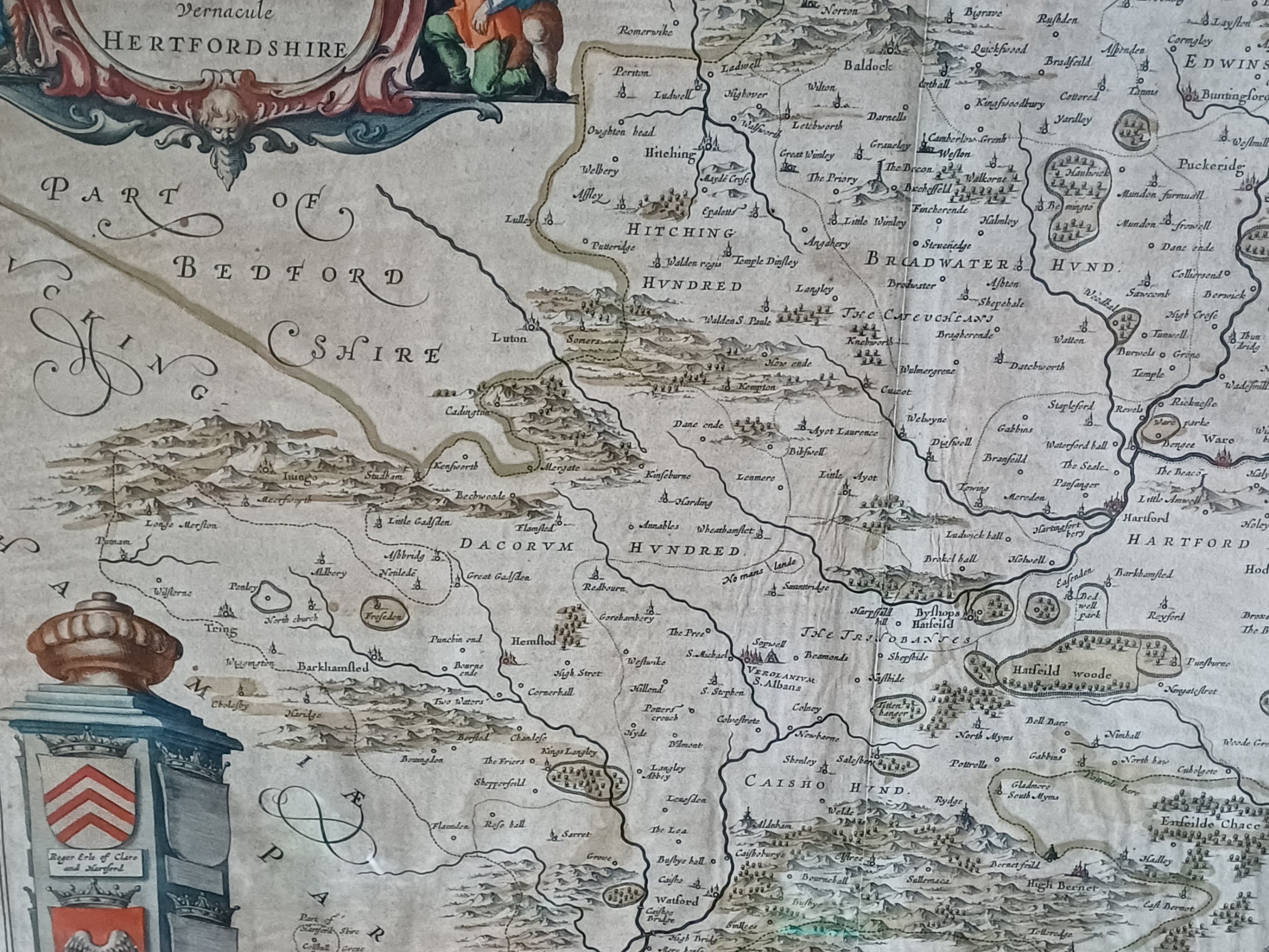
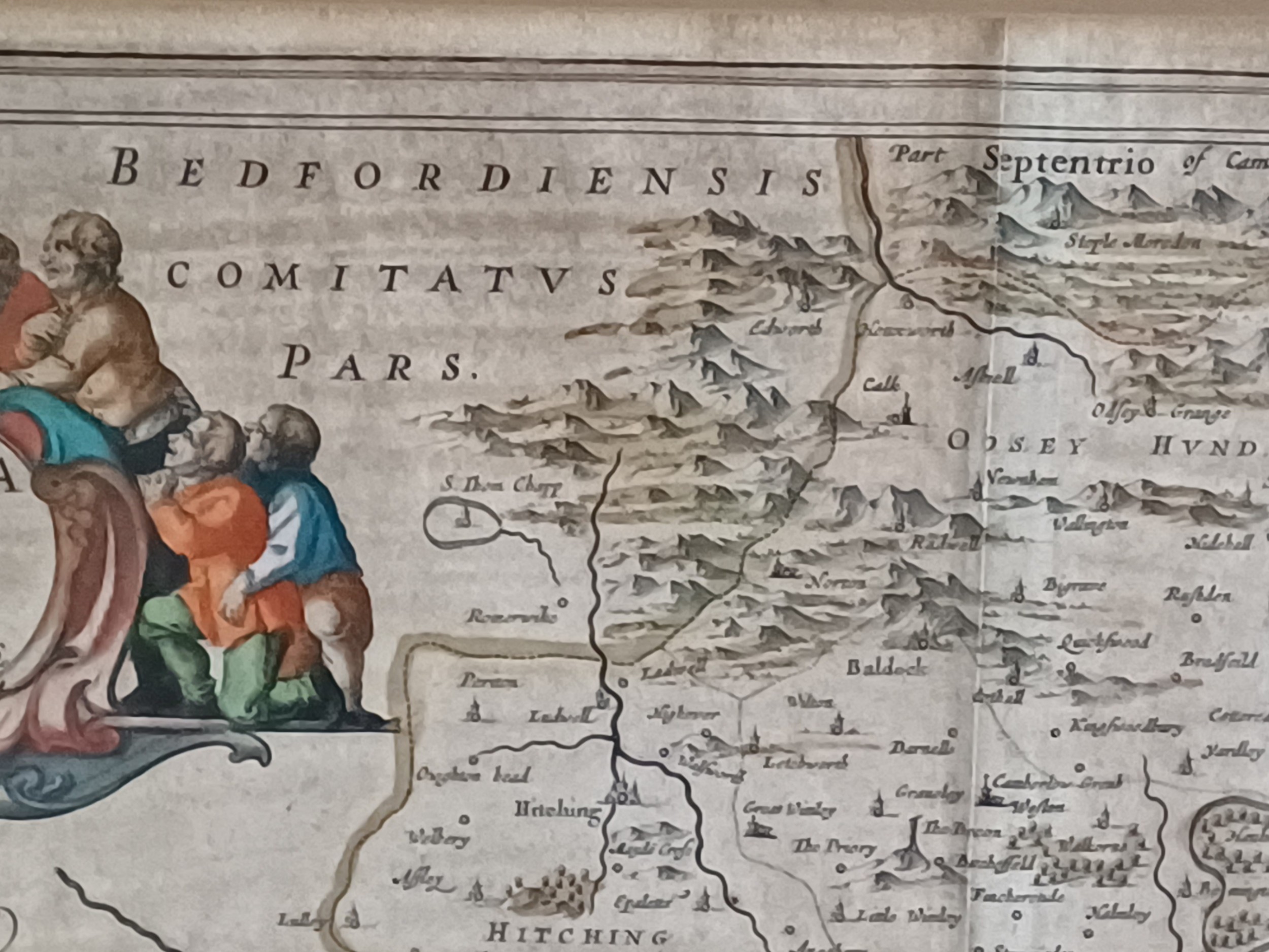
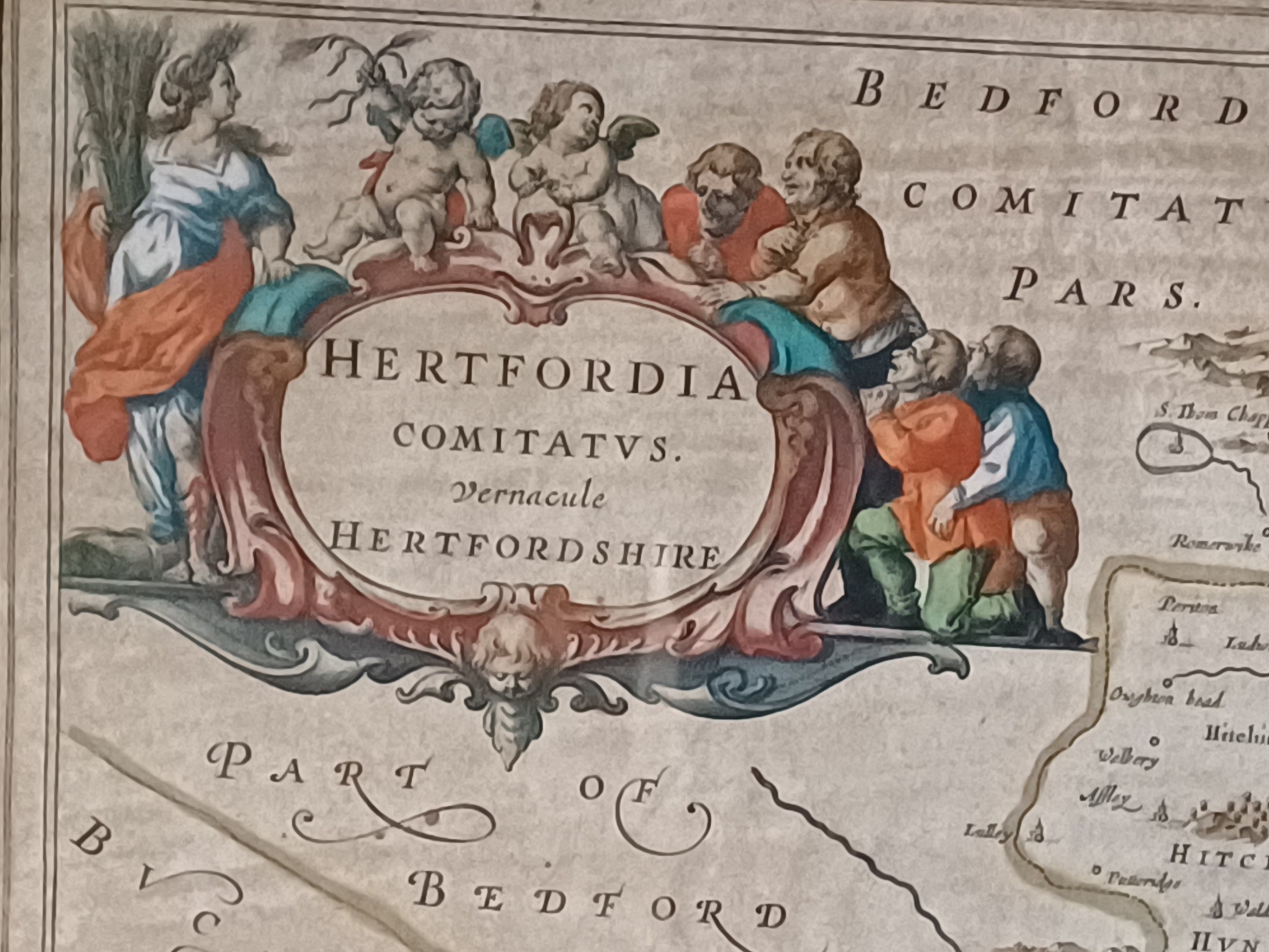
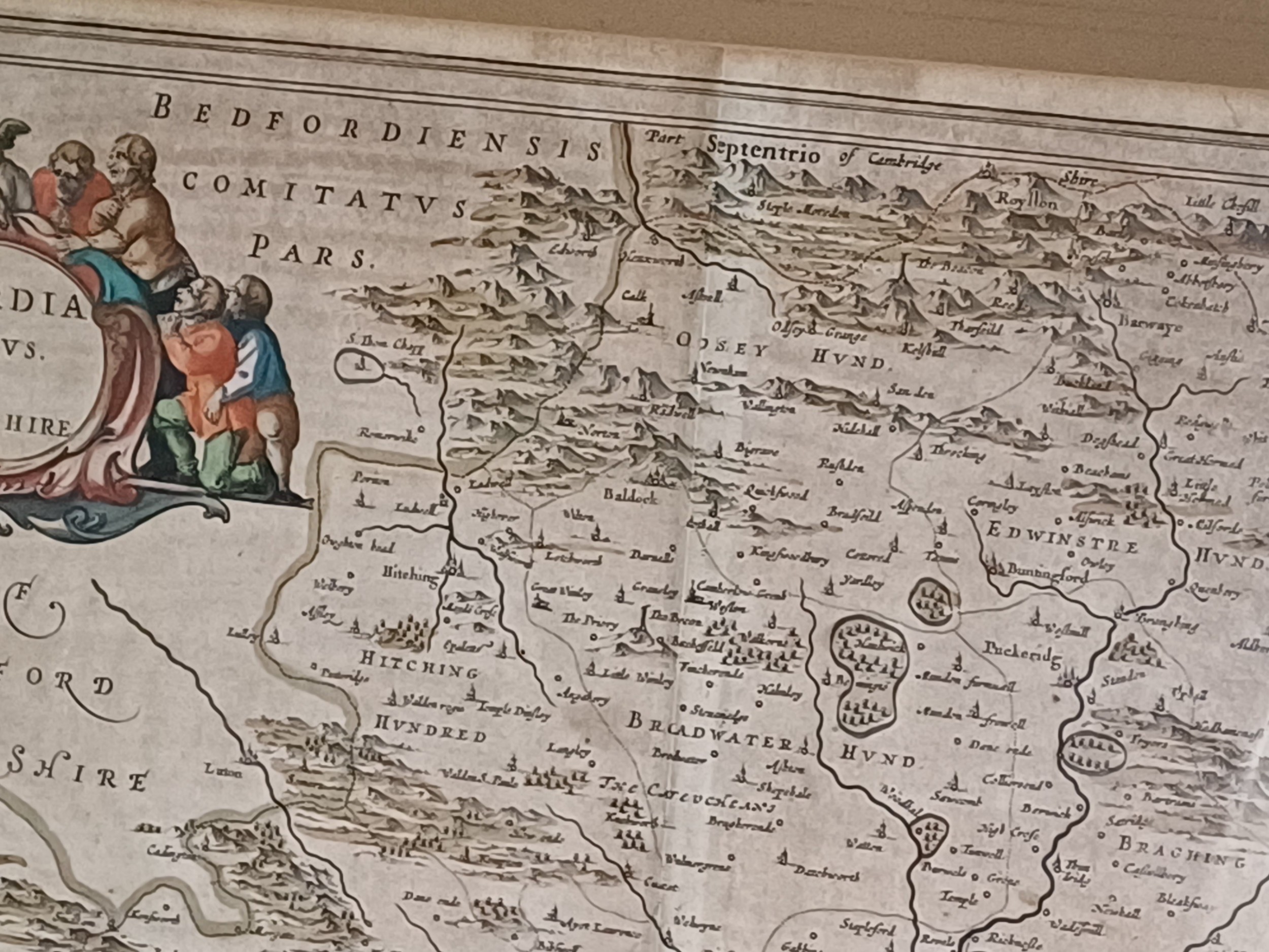
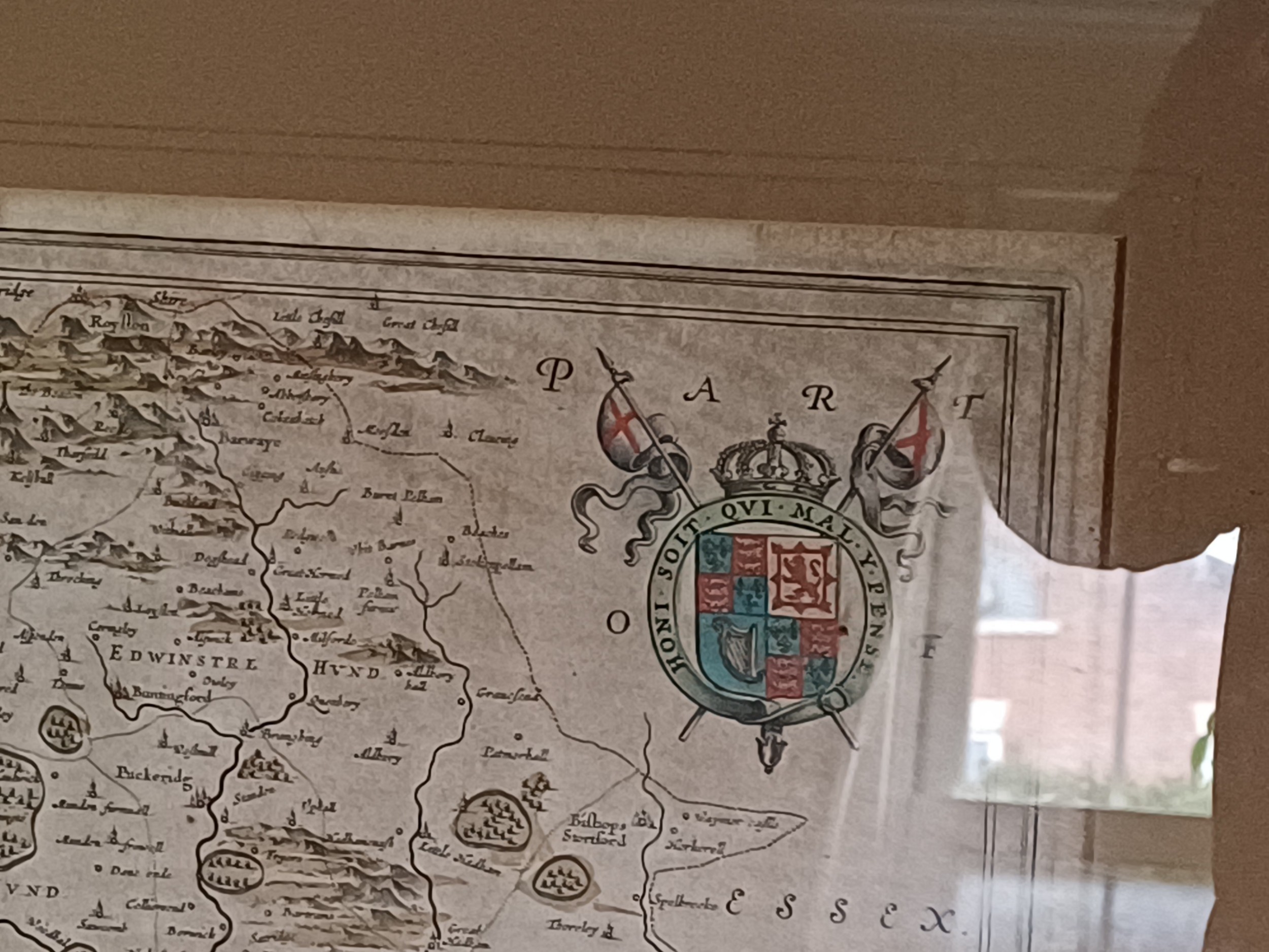
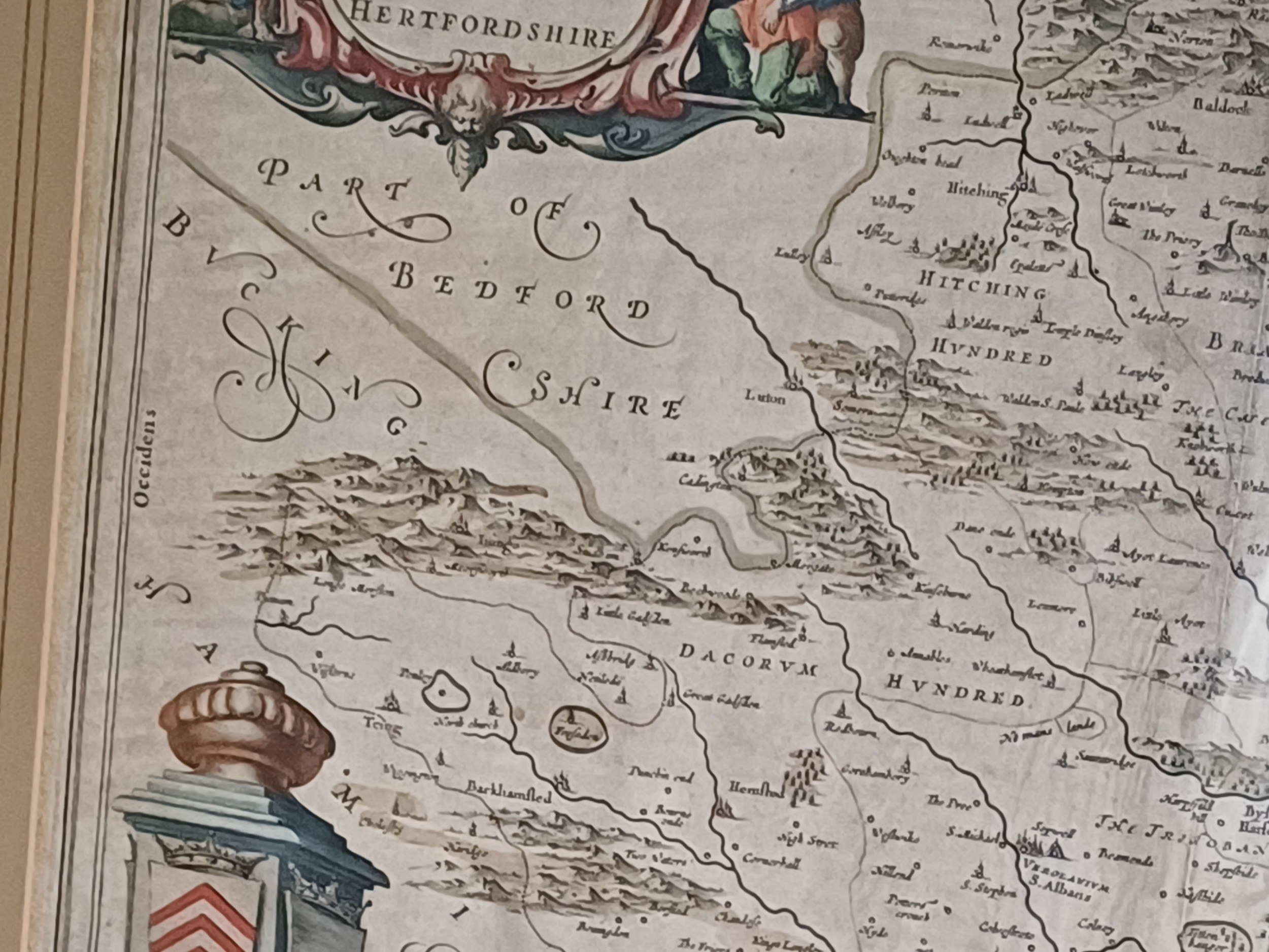
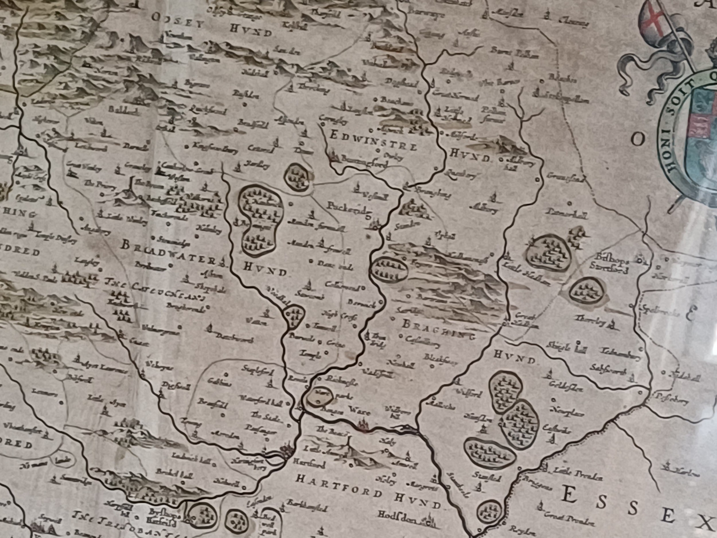
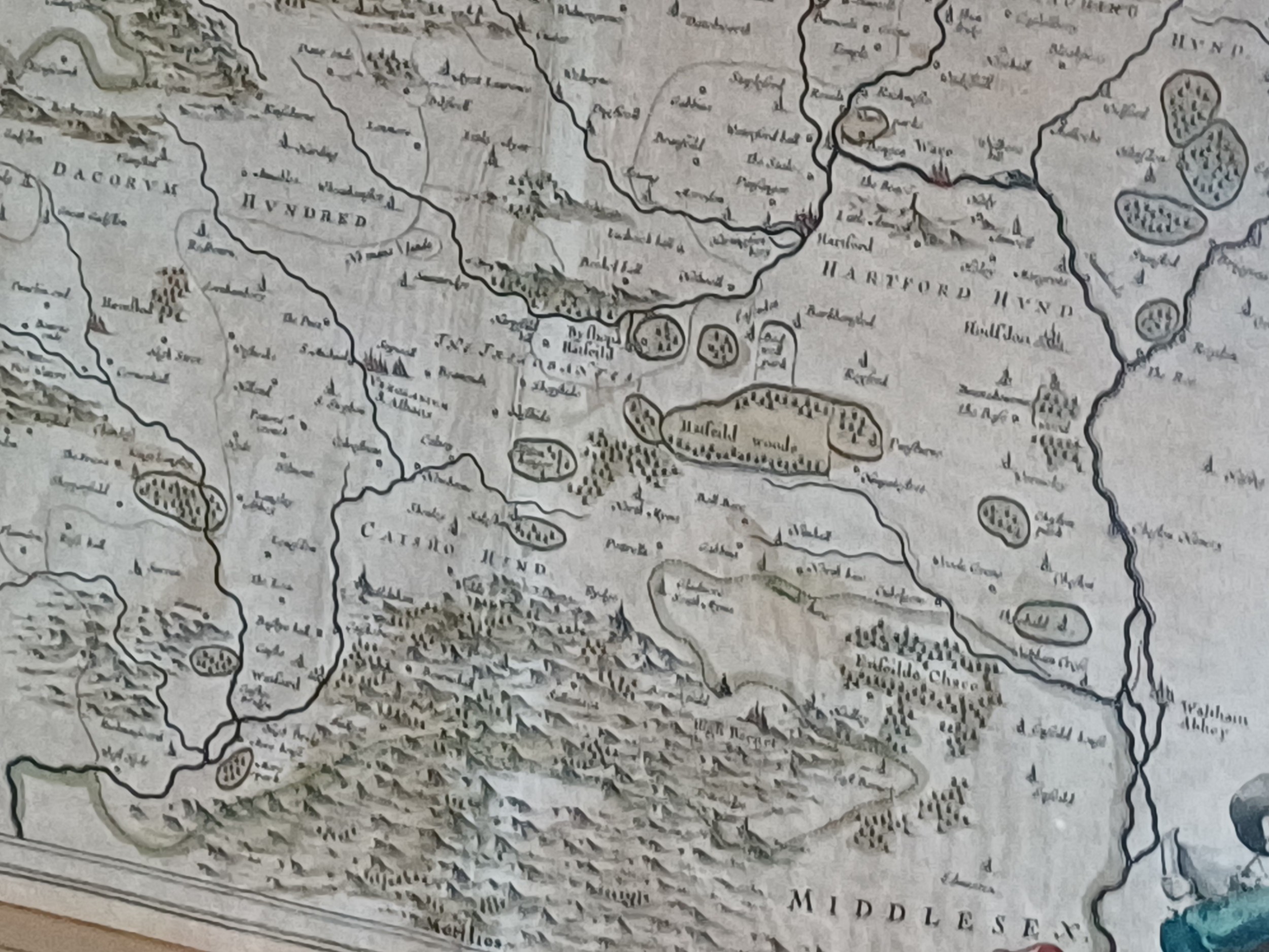
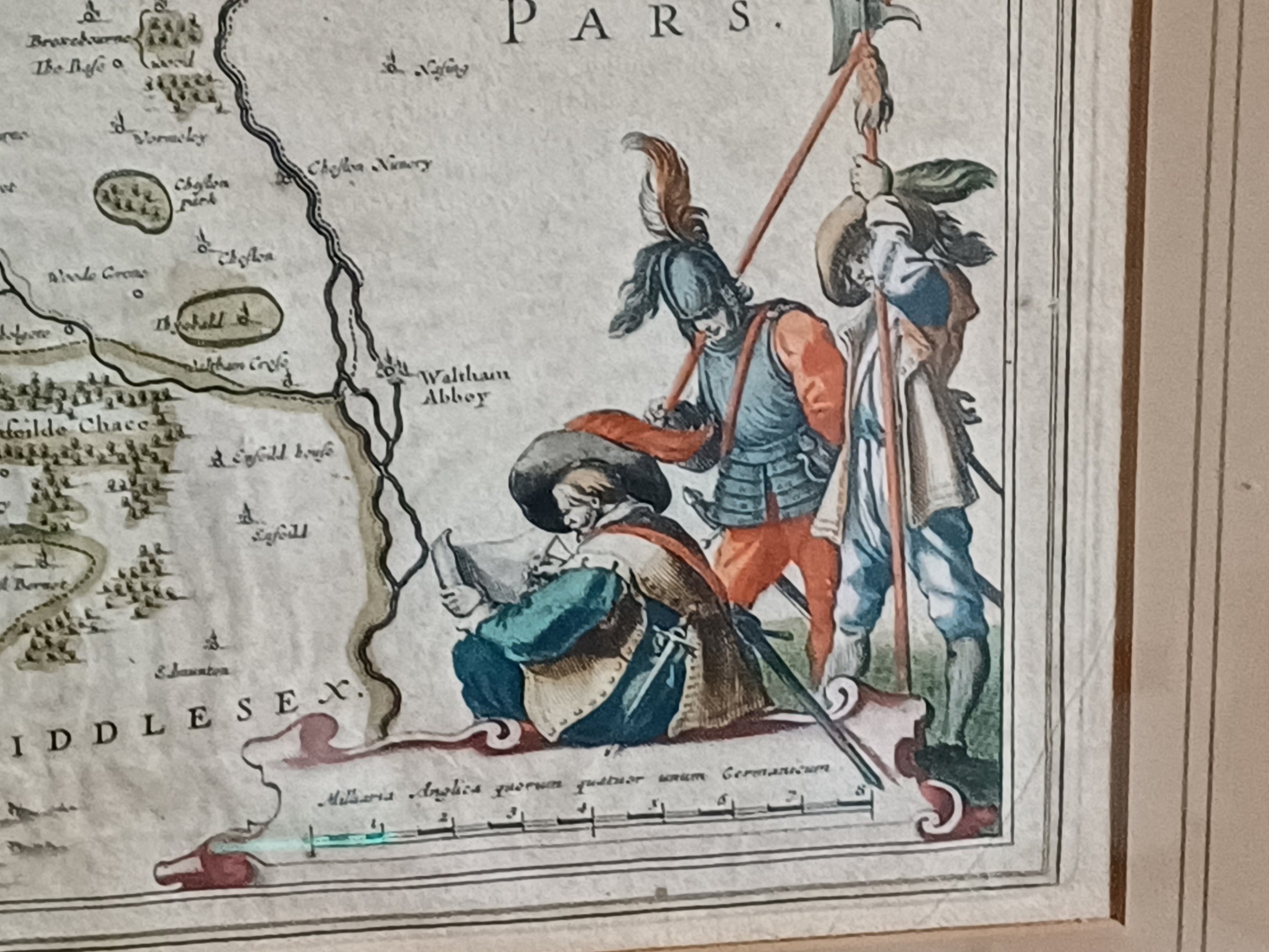
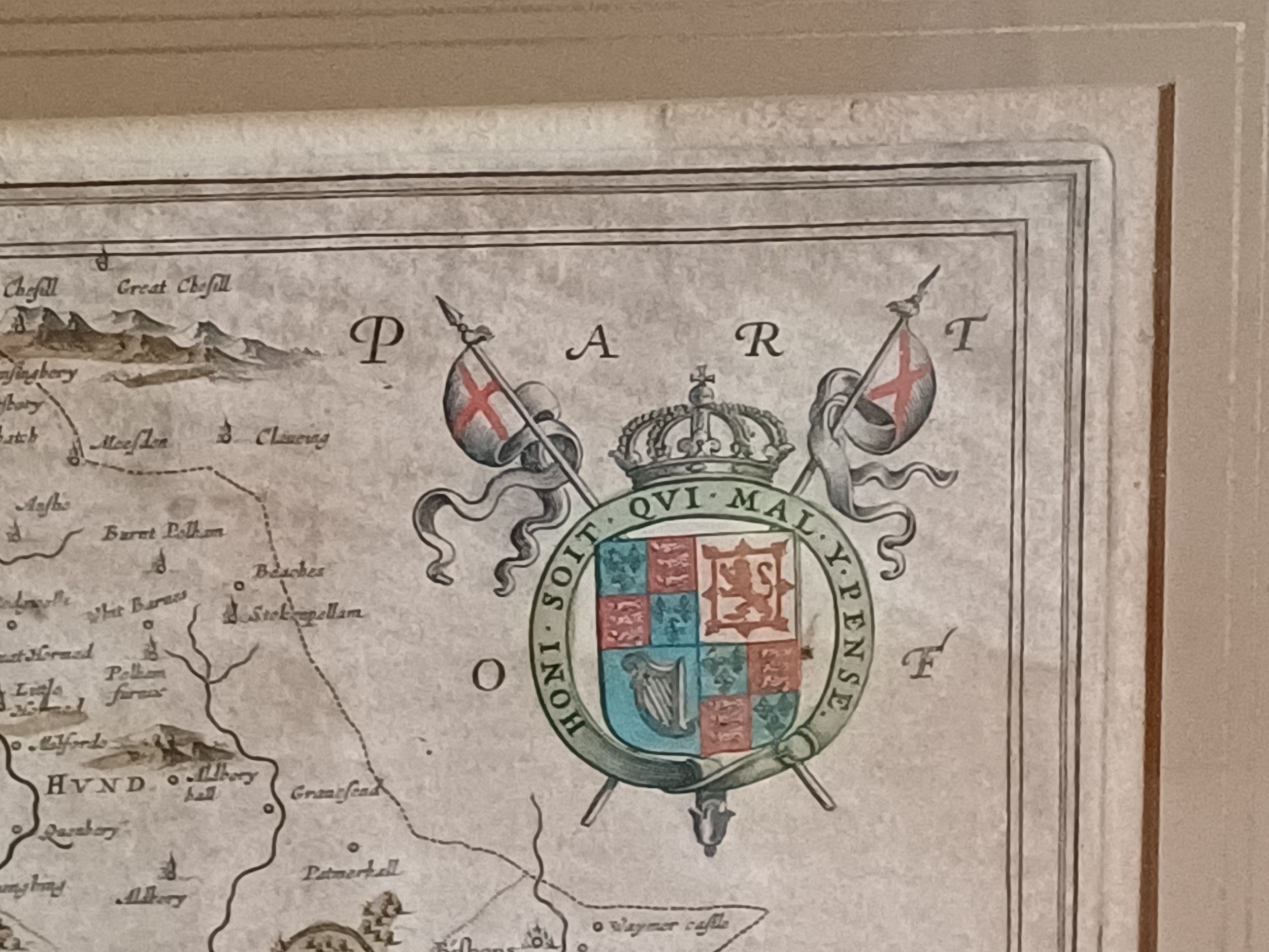
Oliver Sargent Antiques has dated this Jan Blaeu Hertfordshire Map to the 17th Century.
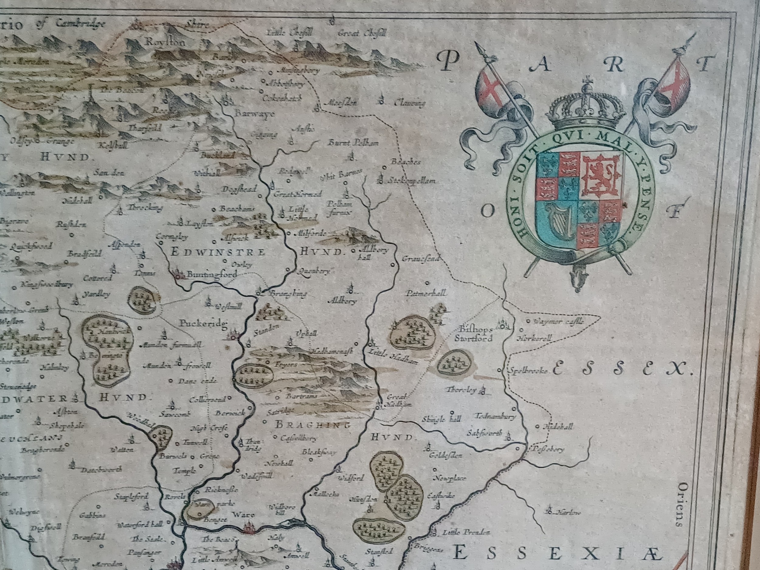
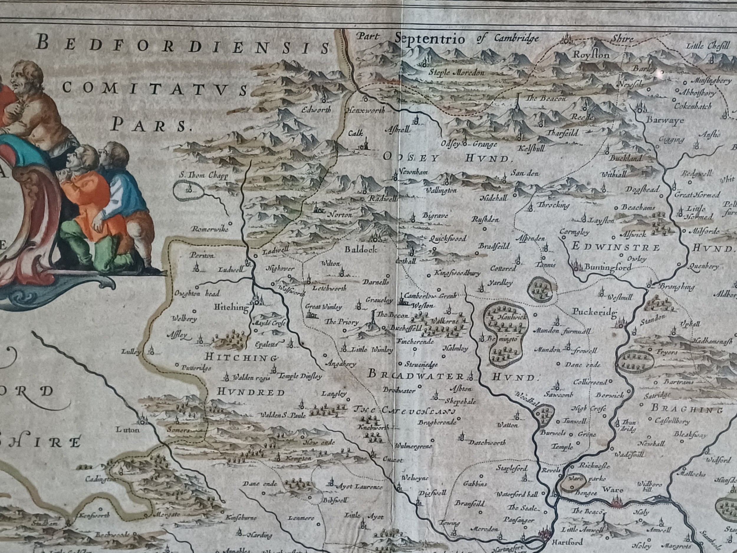
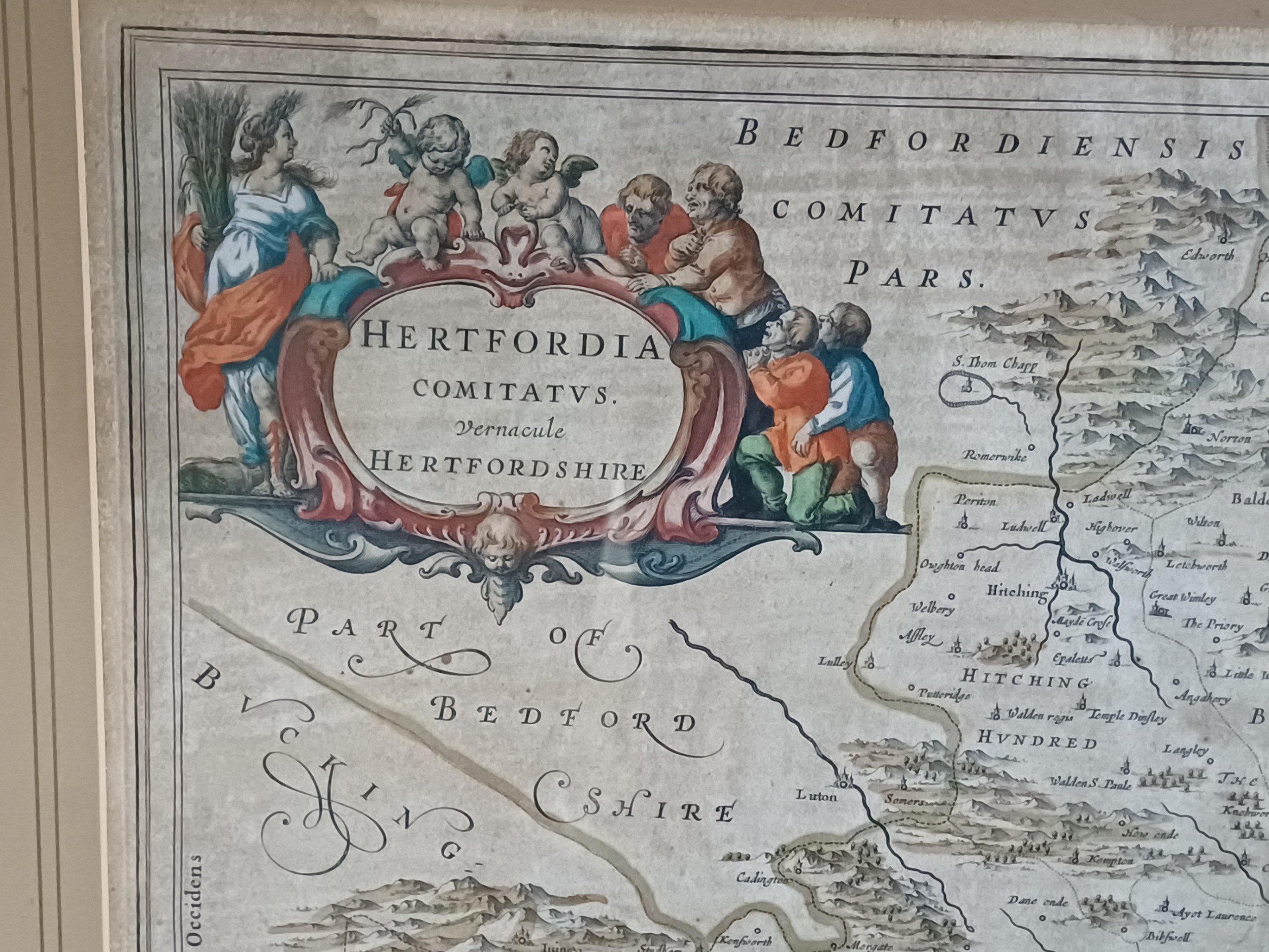
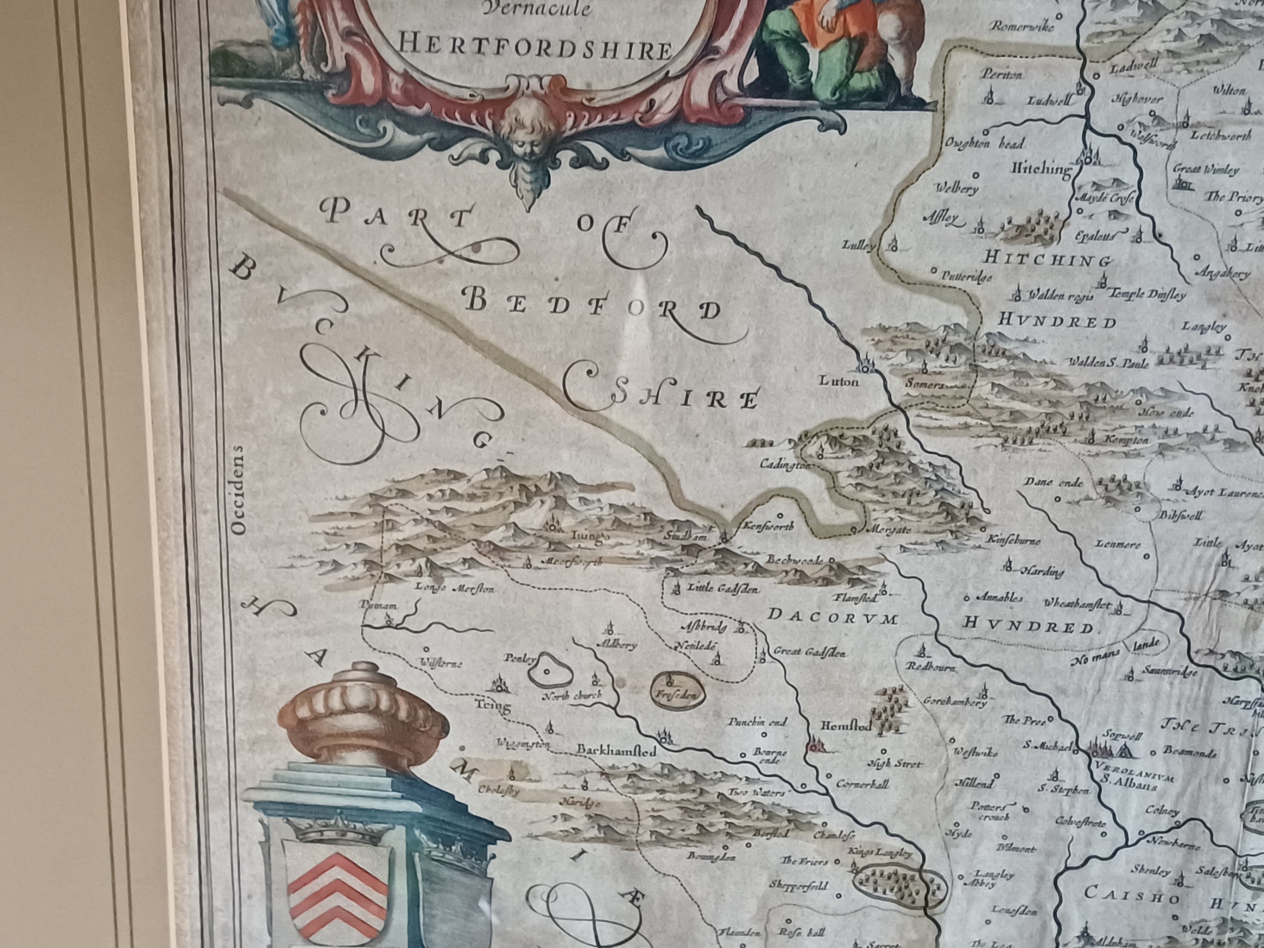
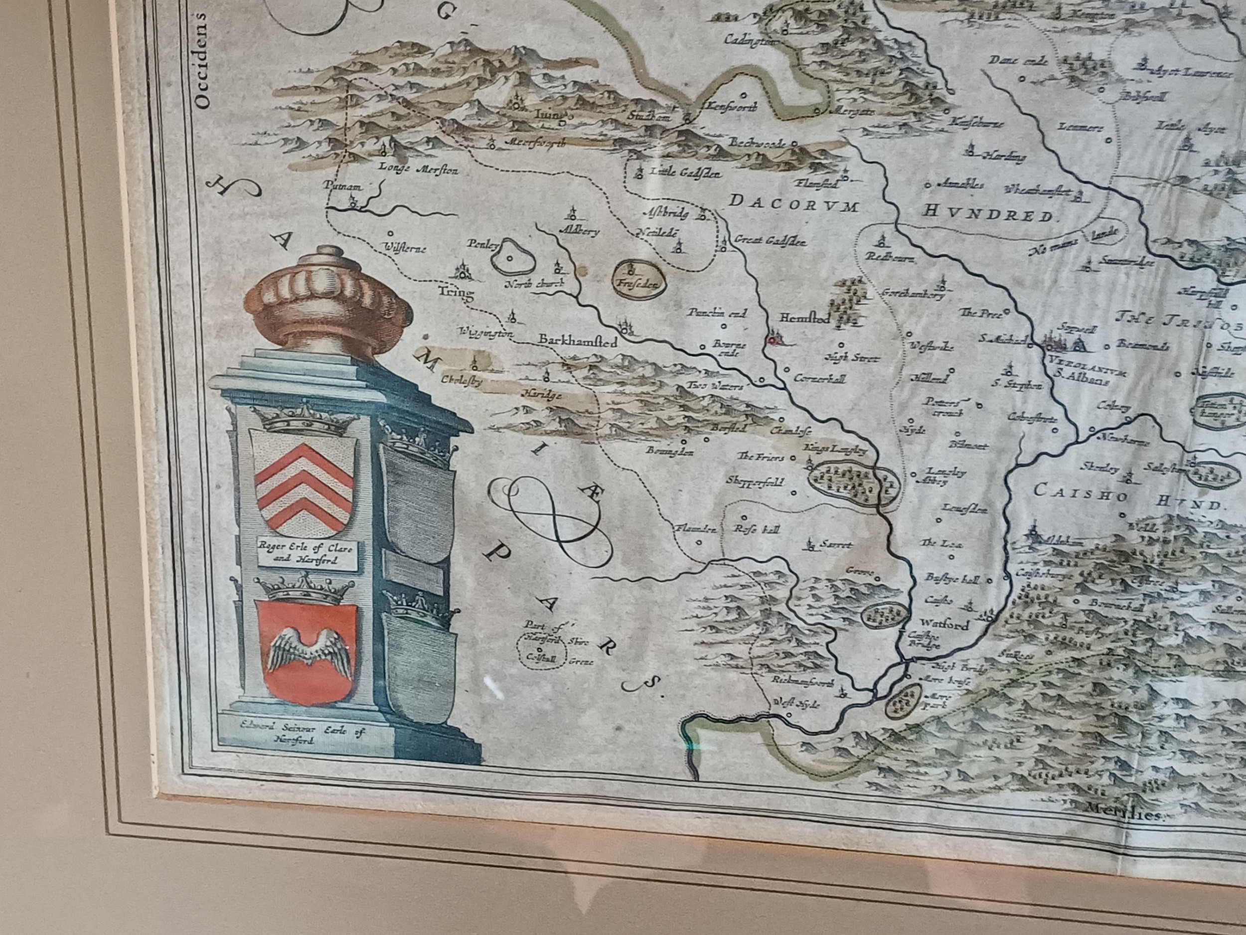
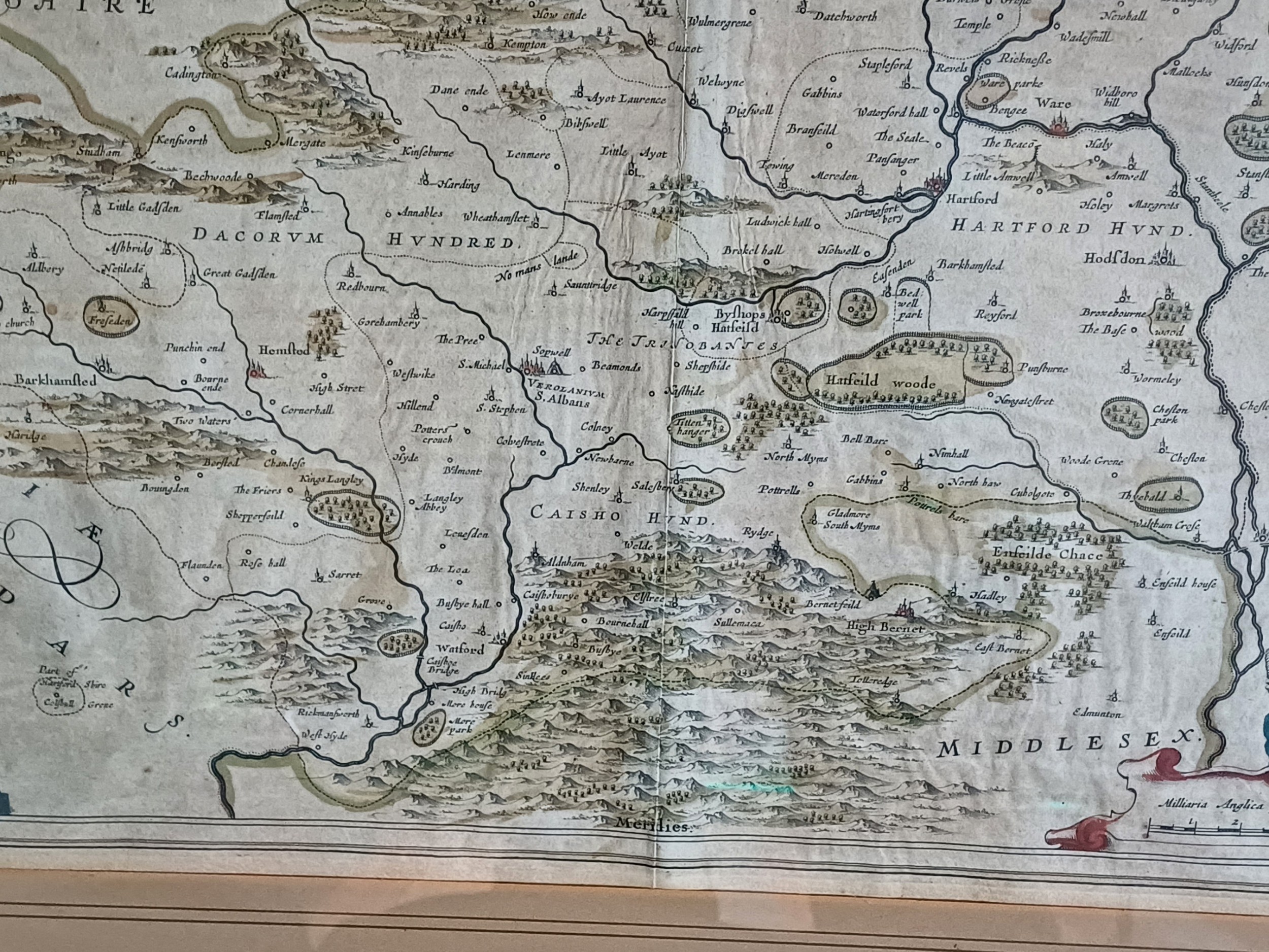
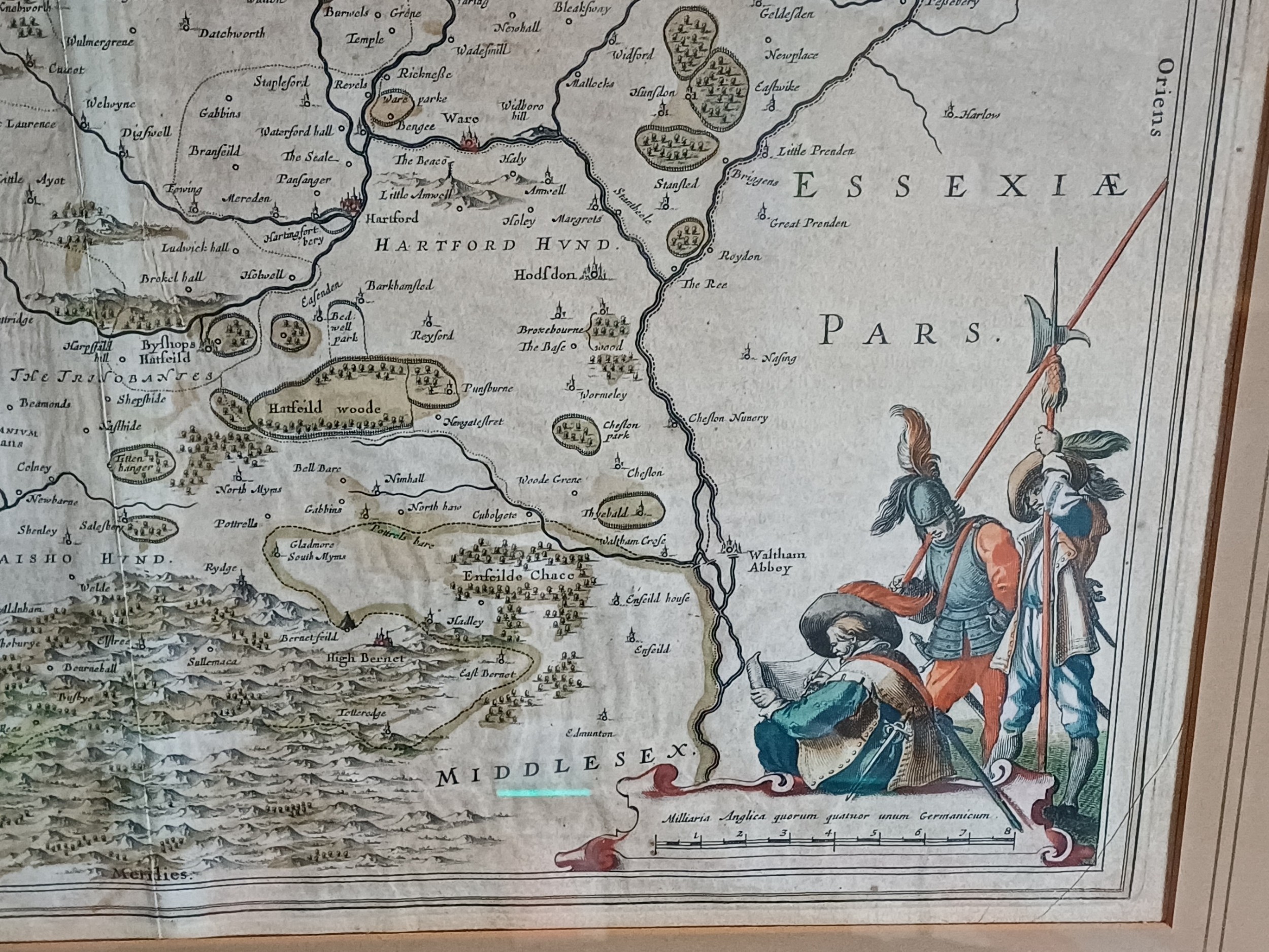
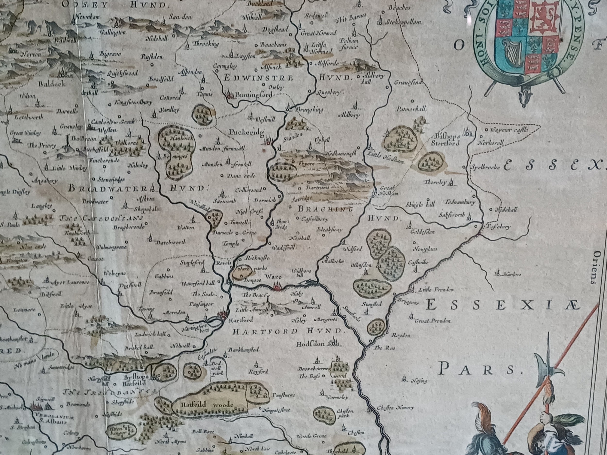
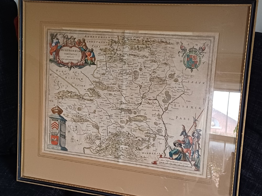
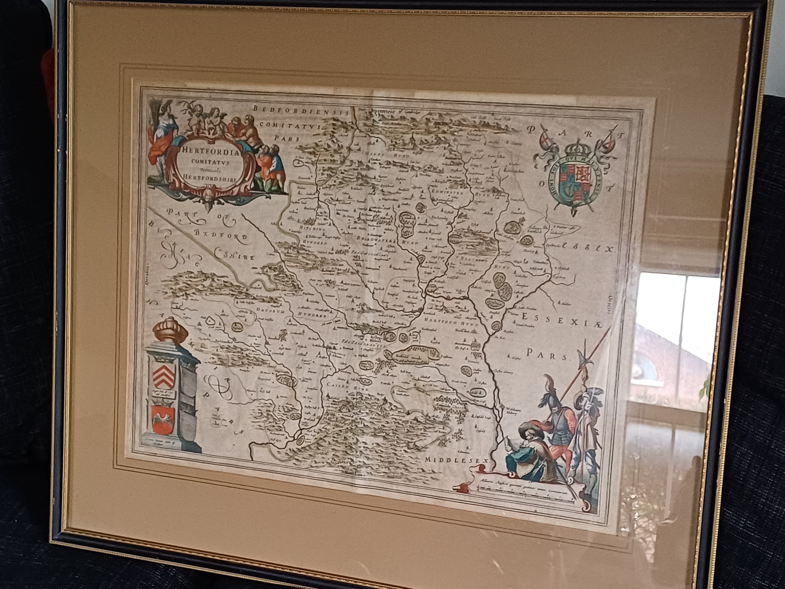
Hertfordia map of Hertfordshire dating to the 17th century, presented in a copper engraving by Jan Blaeu (1596-1673), a Dutch cartographer the son of William Janszoon Blaeu (1571-1638), founder of the Blaeu publishing house.
This intricate copper engraving is part of the county maps of England and Wales featured in the fourth volume (1645) of the world atlas, "Theatrum Orbis Terrarum," a large work stated by the Blaeu family in 1630 and covered 12 volumes.
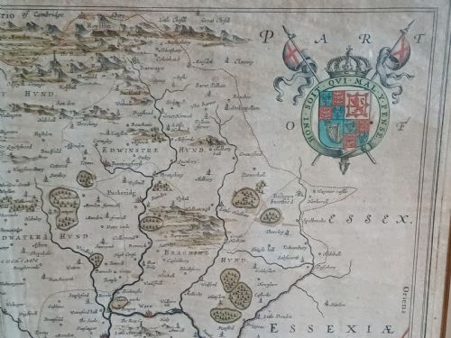
The map highlites exceptional quality, characterized by fine and uniform engraving, adorned with decorative title cartouches and armorial bearings. The printing, conducted in Blaeu's own printing house, utilized premium rag paper and often included hand colouring performed within Blaeu's workshops.
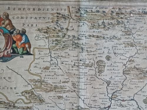
English county maps, published from 1645 to 1667, remained unaltered throughout their release. However, in 1672 a fire at Blaeu's printing house destroyed most plates, marking end of the Blaeu publishing business with Jan Blaeu's death the following year.
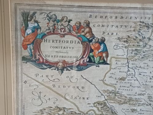
This example on offer is from the Latin edition "Geographiæ Blavianæ, volumen quintum, quo Anglia...continetur," dated 1662. It features original hand colouring, exhibiting some browning and staining as shown in the pics., minor nicks and folds, and light spotting to margins. Despite these signs of age, this excellent framed and glazed example is ready to hang. Frame size 69cm by 58cm, Map size 51.5cm by 39.5cm Price inclusive of delivery to within the UK £345.00
You can find more items of interest and purchase through our website, using all major credit cards:
please visit: www.oliversargentantiques.com
Oliver Sargent Antiques has dated this Jan Blaeu Hertfordshire Map to the 17th Century.
Specialists in vintage military watches & clocks and antique oriental ceramics & works of art
You can view the stock and full dealer information on the Oliver Sargent Antiques Profile Page
17th Century Hertfordshire Map by Jan Blaeu