








Historic English County Cartography
Historic english county cartography comprises engraved paper sheets detailing regional boundaries, offering collectors a window into centuries of domestic geography.
Historic English County Cartography
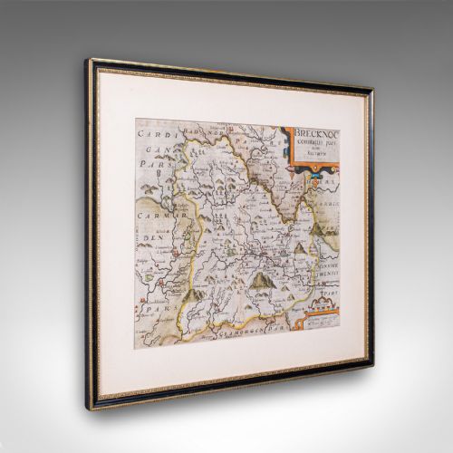
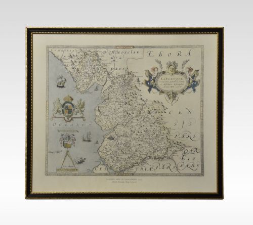
Historic english county cartography encompasses framed maps produced from the seventeenth century through to the early twentieth century, capturing regional divisions on paper. Buyers browsing this page encounter framed maps and atlas engravings depicting specific shires and regions across England.
The selection ranges from seventeenth century works by prominent Dutch and British cartographers to Georgian plates and later twentieth century revisions. Wall art formats dominate the available inventory, usually presented under glass within wooden or gilt frames.
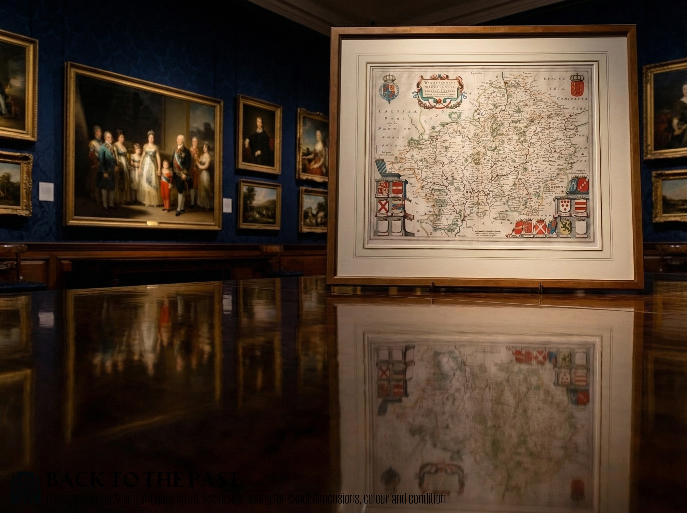
Earlier examples frequently feature Latin text and decorative cartouches, while later eighteenth and nineteenth century maps provide clearer geographical reference points. Each piece preserves the administrative layout of English counties as recorded by contemporary surveyors and mapmakers.
How historic english county cartography was made
These items rely primarily on paper as the foundational medium, inscribed using dark ink and occasionally enhanced with hand applied watercolour. Artisans utilised copperplate engraving techniques to transfer detailed geographical lines and decorative elements onto the sheet.
Framing materials incorporate wood, gilt wood, and gold leaf alongside protective glass, securing the paper sheets for wall display. Many seventeenth century specimens originate from atlas volumes before later being separated and mounted for interior decoration.
Historic English County Cartography Retail Price Guide 2026
Typical asking prices for historic english county cartography among the pieces listed under this phrase on Sellingantiques today, from the lower quarter to the upper quarter. They describe what is for sale here now, not the wider market.
Early Dutch mapmakers occasionally populated empty rural spaces with spirited sea monsters to entertain the armchair traveller.
What varies in quality
Quality rests upon the crispness of the original plate impression and the clarity of the engraved lines across the paper. Finer examples retain deep ink contrast and vibrant watercolour washes where colour was added by hand.
The sophistication of the surrounding frame also influences the overall standard, with period gilt wood and traditional wood mouldings enhancing the presentation of older sheets. Additionally, the prominence of the cartographer and the historical significance of the Latin or English text contribute to the standing of an individual piece.
Blaeu·John Speed·Thomas Kitchin·John Cary·J Harrison
The Historic English County Cartography Glossary
- Cartography
- The science or practice of drawing maps, encompassing the decorative regional charts found in historic British atlases.
- Atlas Engraving
- A printed map plate originally bound within a collected volume of geography before being separated for individual display.
- Cartouche
- An ornate frame or panel depicted on a map, often containing the title, scale, or dedication in elaborate script.
- Latin
- The classical language frequently utilised for text on seventeenth century European map plates and marginal descriptions.
Historic English County Cartography: Frequently Asked Questions
What is historic english county cartography?
Historic english county cartography consists of engraved paper maps depicting English shires from past centuries. These pieces record the changing boundaries and topography of regions over time.
Most surviving examples are sourced from old atlases and subsequently framed for display as wall art. They serve as both historical records and decorative items for interiors.
How old are these maps?
The pieces span multiple periods, with origins stretching from the seventeenth century through the Georgian era up to nineteen-ten. Seventeenth century examples often feature Latin text and elaborate cartouches.
Later maps from the eighteenth and nineteenth centuries tend to show more refined geographical surveys and English labelling. Each piece carries the stylistic markers of its specific period of production.
How should I display them?
These maps are typically presented as framed wall art utilising wood, gilt wood, or gold leaf surrounds with glass protection. Keeping them out of direct sunlight helps protect the antique paper and any hand applied watercolour.
Ensure they are hung in stable environments away from excessive moisture to preserve the paper and ink over time.
Are the colours original?
Many early maps were printed in black ink and later enhanced with hand applied watercolour either at the time of publication or in subsequent centuries. The presence and vibrancy of these pigments vary across different periods and workshops.
Examining the interaction between the ink lines and the wash provides insight into the finishing techniques used by the cartographer or colourist.