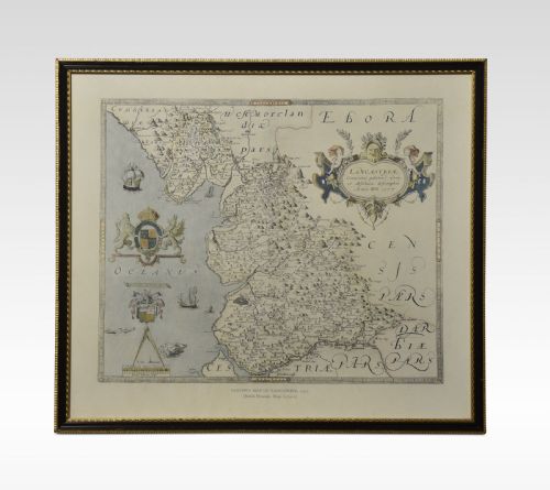
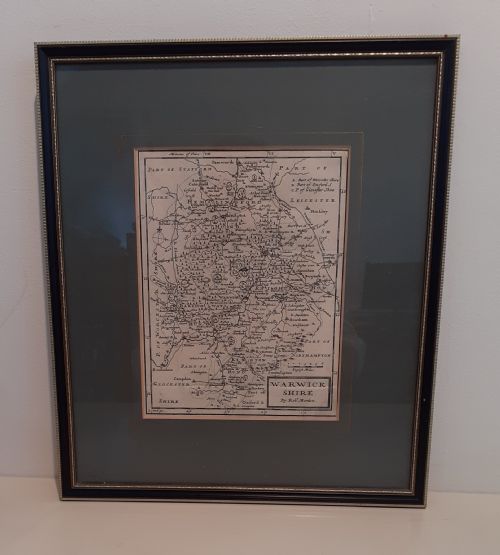
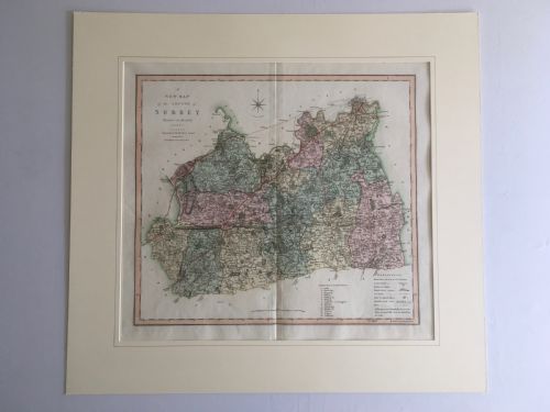
A framed antique wall map brings historical cartography and decorative geography into a room, preserving centuries of printing and engraving traditions.
The inventory spans the seventeenth century, Georgian era, and Victorian period, recording English, Dutch, and French cartography.