






Paper Cartographic Map Print
Paper cartographic map print selections bring historical geography to walls, offering detailed views of counties, towns and nations from past centuries.
Paper Cartographic Map Print
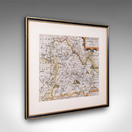
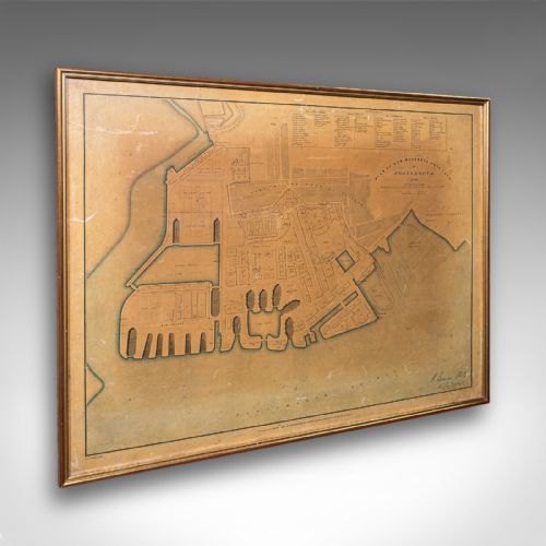
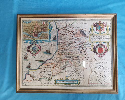
A paper cartographic map print captures topographical details, regional boundaries and historical settlements across centuries of cartography. When exploring this selection, buyers encounter framed wall art ranging from seventeenth-century county surveys to nineteenth-century town plans.
The material takes many forms, including English road maps, Dutch atlas pages and French depictions of regions. These sheets record changing landscapes, trade routes and settlements as plotted by early cartographers and surveyors.
Pieces span various eras from the seventeenth century through the Victorian period, reflecting the evolution of printing and cartographic accuracy. Most examples arrive framed, often complemented by glass, wood and gold leaf surrounds that protect the delicate paper.
Materials and Production
Surrounds utilise traditional timber frames, frequently incorporating oak, glass panes and occasionally gold leaf accents. These mounting materials protect the fragile paper substrate from environmental damage while providing structural support for wall hanging.
Paper Cartographic Map Print Retail Price Guide 2026
Typical asking prices for paper cartographic map print among the pieces listed under this phrase on Sellingantiques today, from the lower quarter to the upper quarter. They describe what is for sale here now, not the wider market.
Early mapmakers sometimes filled blank ocean spaces with elaborate sea monsters and sailing ships to disguise terra incognita.
Evaluating Quality
Quality rests upon the clarity of the printed line, the precision of the engraving and the preservation of the paper sheet. Stronger examples retain crisp topographical detail, legible cartouches and stable margins without excessive fading.
The accuracy of contemporary hand-colouring, the condition of the paper surface and the integrity of the framing materials further distinguish individual items. Superior specimens demonstrate careful handling over centuries, keeping the original sheet intact and readable.
Thomas Jefferys·Joan Blaeu·Robert Morden·Christopher Saxton·Emanuel Bowen·J. Duncan
The Paper Cartographic Map Print Glossary
- Cartouche
- A decorative frame or panel on a map enclosing the title, scale, dedication or cartographer's name. They often feature elaborate ornamentation specific to the period of publication.
- Copperplate engraving
- A printing technique where lines are incised into a copper sheet with a burin, holding ink to transfer fine, precise details onto paper. This method dominated map production for centuries.
- Hand-coloured
- The application of watercolour or pigment by hand to a printed map after production. This process was often done commercially to highlight boundaries and regions.
Paper Cartographic Map Print: Frequently Asked Questions
How should I hang antique maps?
Keep framed pieces away from direct sunlight and damp environments to protect the fragile paper and ink from fading or deterioration.
Ensure hanging hardware is secure and suitable for the weight of the wood and glass frame.
Are these maps original prints?
The listings comprise period printed maps produced from engraved plates during the dates specified in the descriptions.
Each sheet originates from the era of its cartographic survey rather than being a modern reproduction.
Why are some maps coloured?
Colour was added by hand using watercolours either at the time of publication or later to make boundaries clearer and more visually appealing.
This application distinguishes administrative regions, counties and territories on the printed sheet.