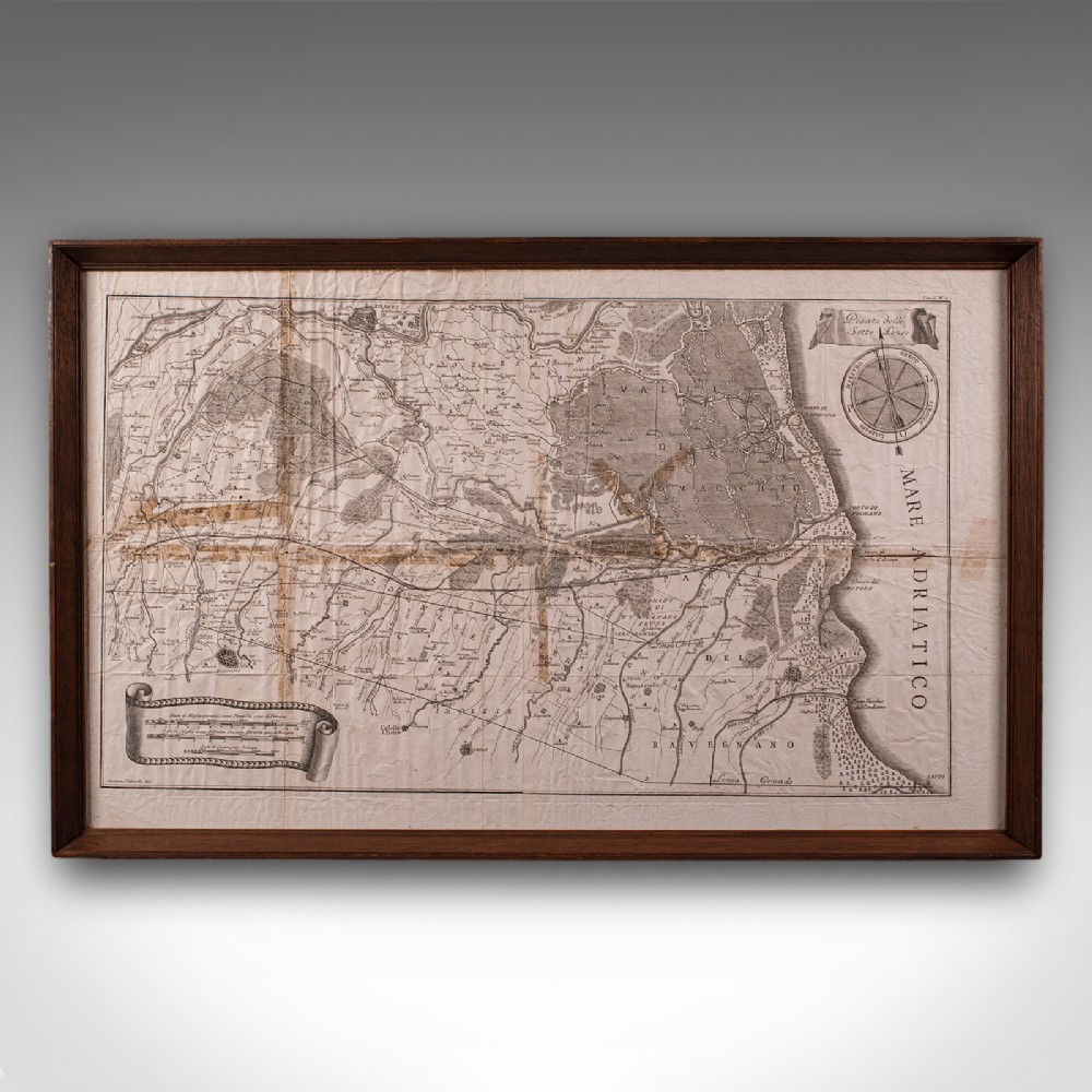
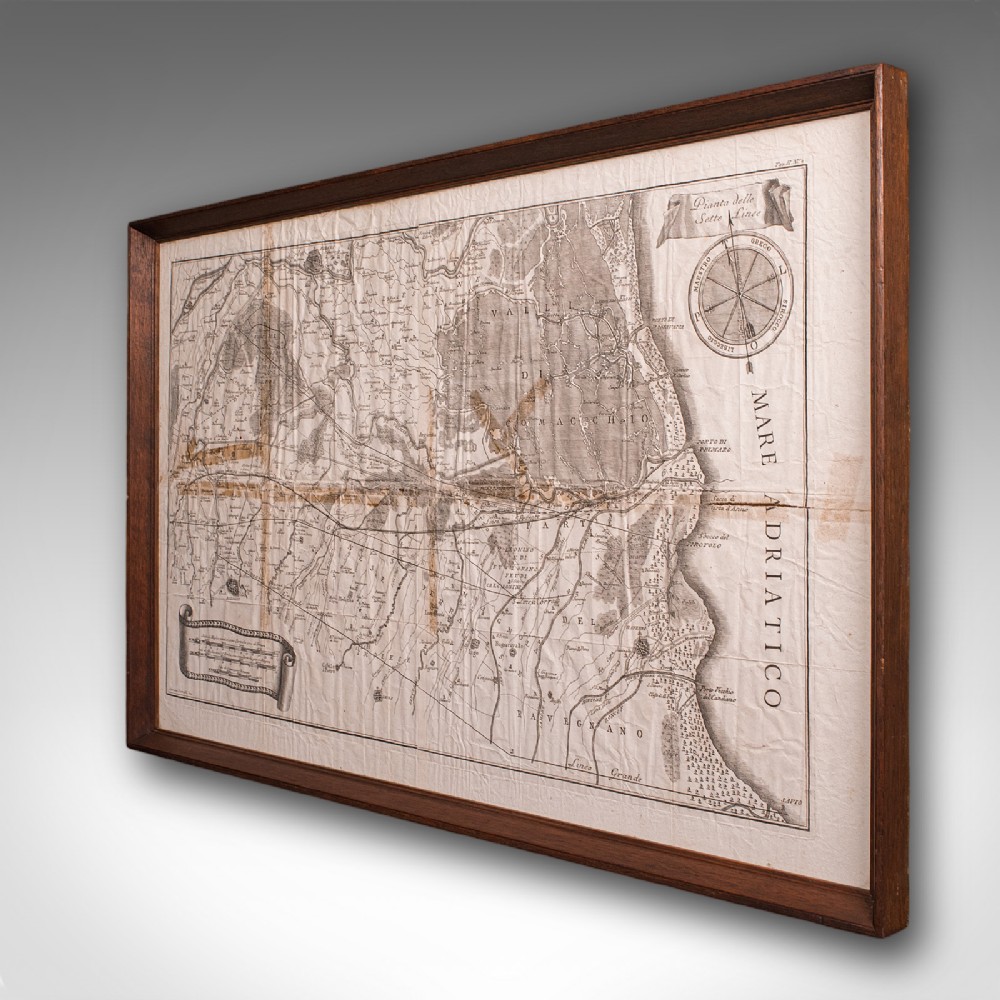
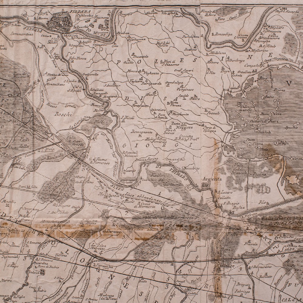
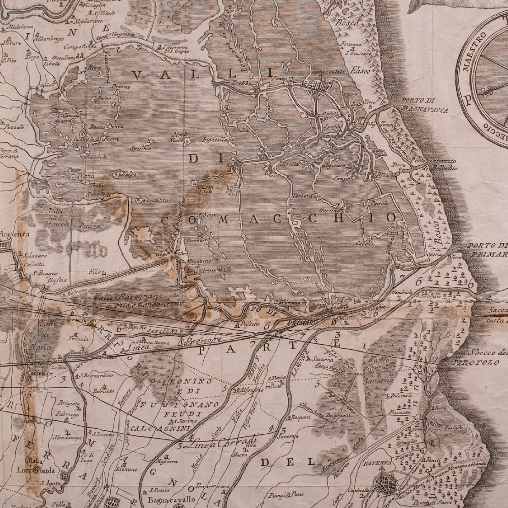
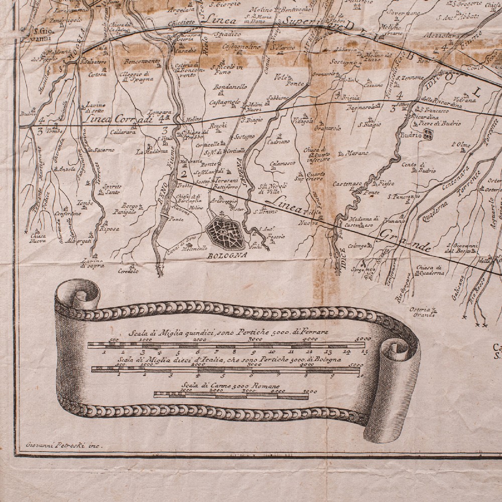
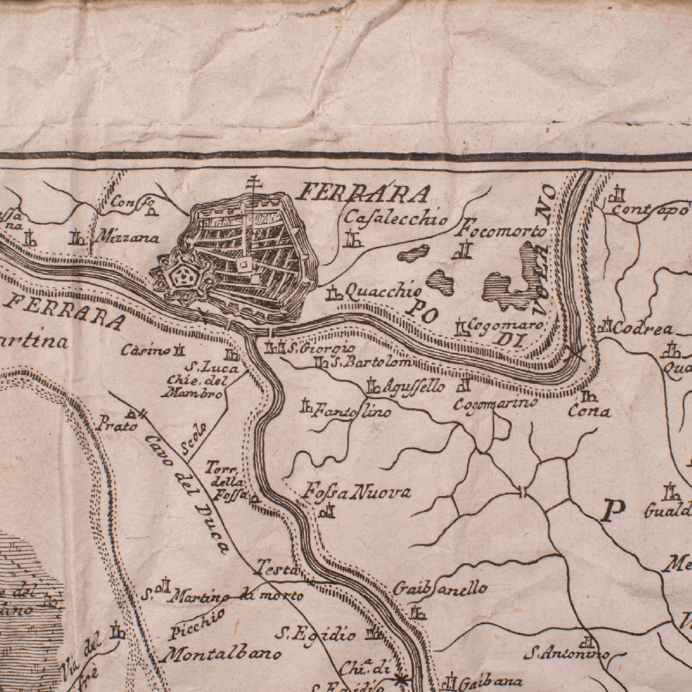
London Fine Antiques has dated this Framed Antique Italian Map to the Georgian era.
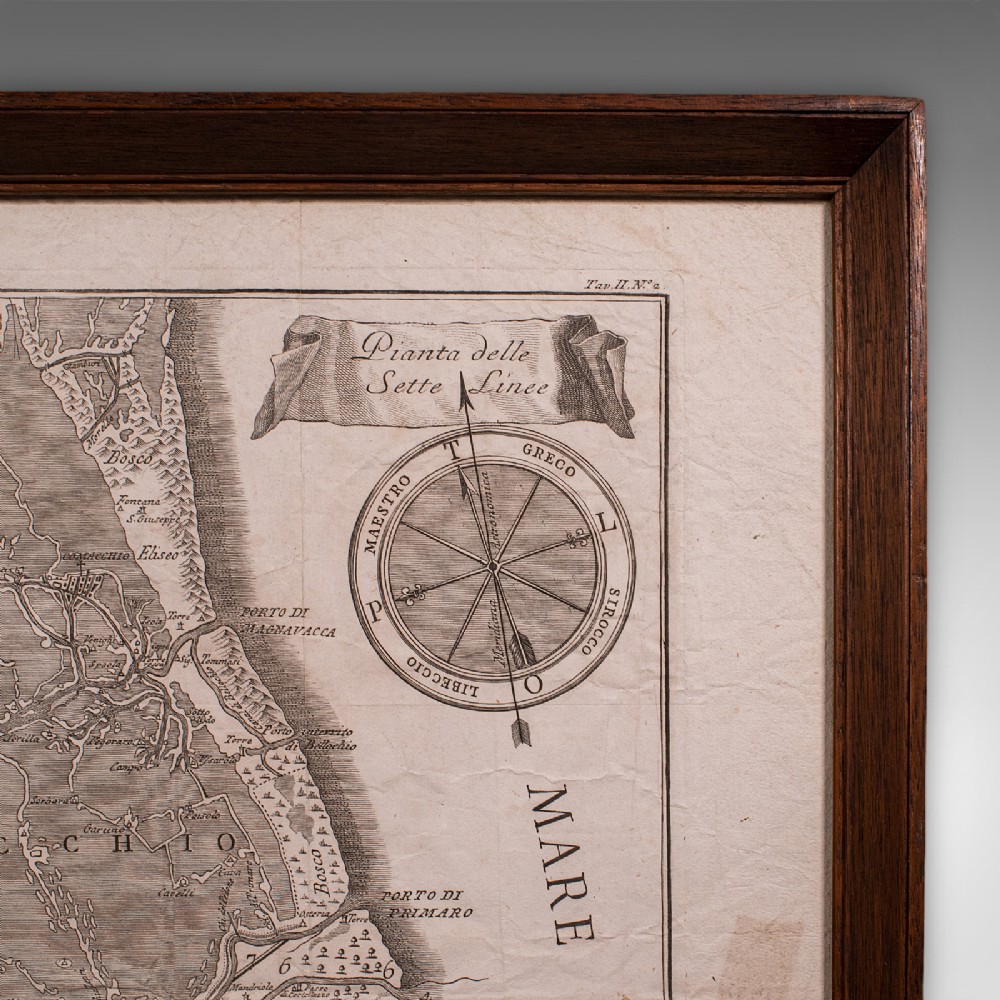
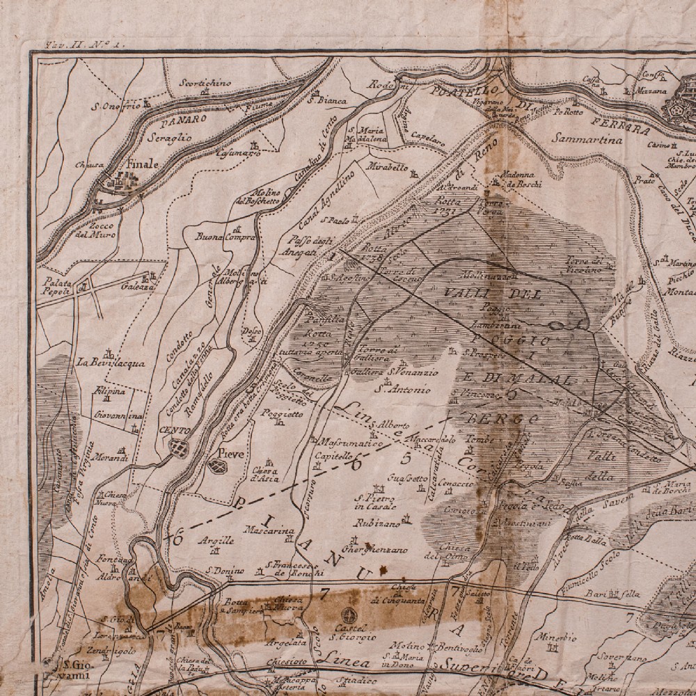
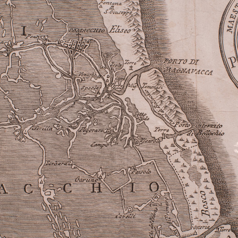
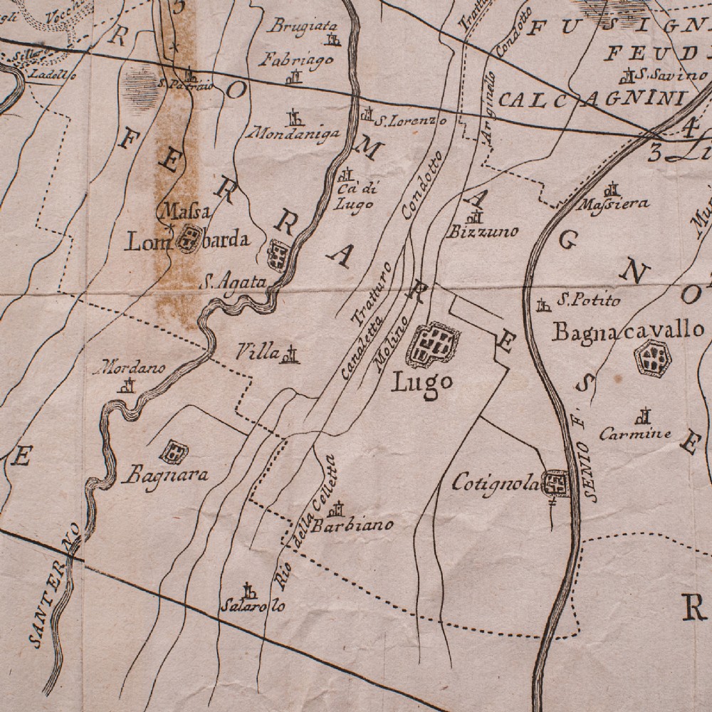
Fascinatingly time-worn before mounting, and with excellent cartographic detail
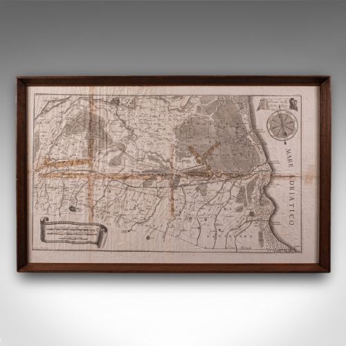
Displays a desirable aged patina behind a later glazed frame
Some aged repairs and hand used creasing enhances the antique feel
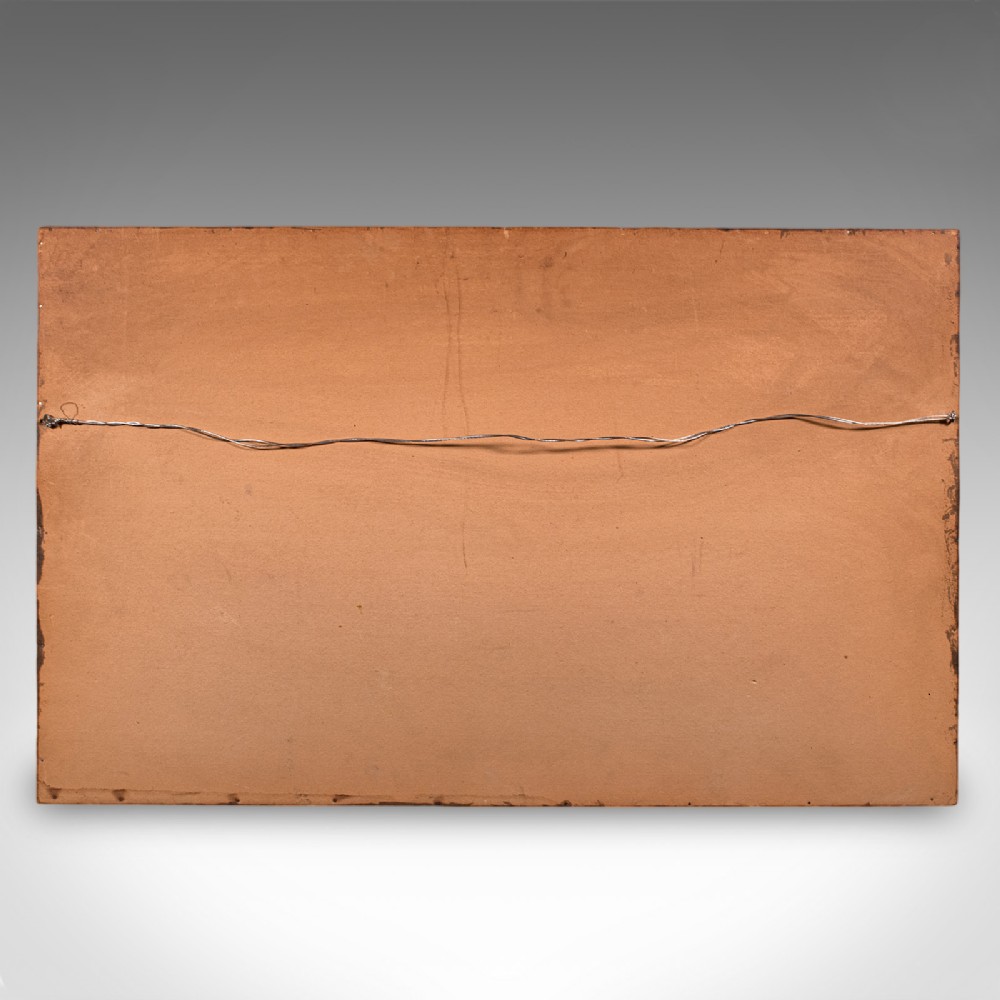
Deep mahogany frame dressed to the rear with hanging wire for ease of mounting
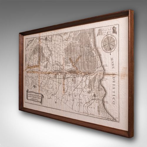
Compiled in the 18th century, likely provided within a large volume publication
Shows many regional highlights, including towns, areas and visual topography
This is a generously proportioned and historically aged region map, with an abundance of charm and detail. Delivered ready to display.
Dimensions:
Max Width: 78cm (30.75'')
Max Depth: 3cm (1.25'')
Max Height: 48.5cm (19'')
Map Width: 68cm (26.75'')
Map Depth: cm ('')
Map Height: 39cm (15.25'')
London Fine Antiques has dated this Framed Antique Italian Map to the Georgian era.
Fine antiques curated in england and sold worldwide
You can view the stock and full dealer information on the London Fine Antiques Profile Page
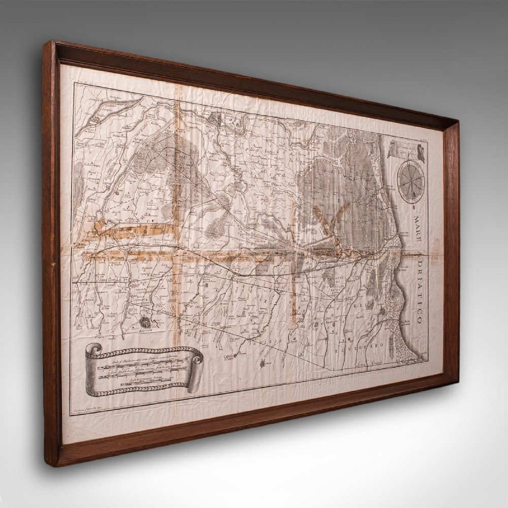
Antique Italian Region Map, Framed Cartography, 18th Century, Emilia Romagna