

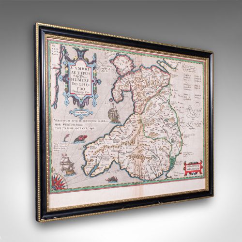
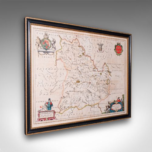
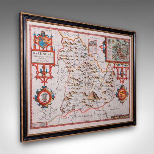
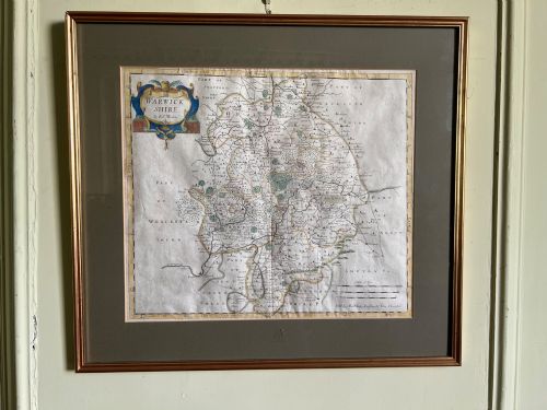


Antique Map Wall Art
These antique map wall art pieces bring centuries of cartography into modern rooms, offering detailed views of counties, countries, and continents framed for display.

Antique Map Wall Art
Antique map wall art comprises engraved, printed, or hand-drawn geographical sheets that have been mounted behind glass within wooden frames for domestic presentation. When searching for antique map wall art, buyers encounter works ranging from compact county surveys to expansive continental charts produced across several centuries.
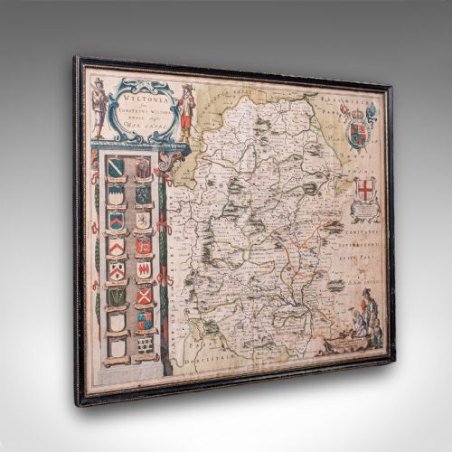
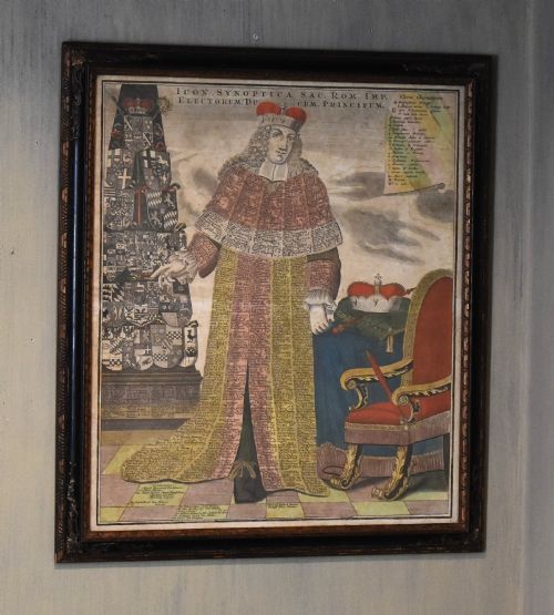
The selections span distinct periods, drawing heavily from seventeenth-century Dutch and English cartography alongside eighteenth-century Georgian atlas plates and nineteenth-century lithographs. English county maps by notable makers appear frequently, alongside European town plans and world overviews.
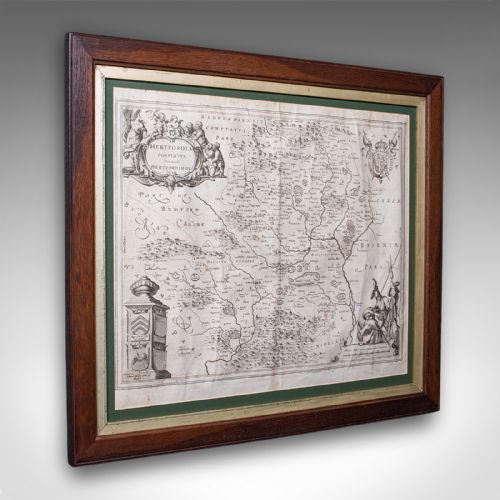
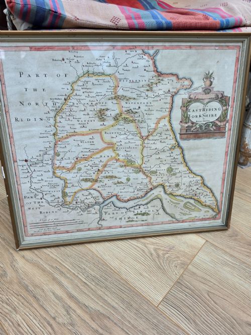
Framed formats dominate the selection, often incorporating gilt wood surrounds that complement the ink, watercolour, and paper supports of the original sheets. Buyers regularly find regional English representations, such as maps of Hertfordshire, Yorkshire, or London, alongside broader territorial depictions.
Materials and Techniques
Makers produced these works using copperplate engraving on laid or woven paper, frequently applying watercolour by hand to delineate boundaries and decorative cartouches. Printers inked these engraved metal plates under pressure, transferring fine lines and intricate typography onto the sheet.
Framing utilised timber mouldings, sometimes finished with gold leaf or simple gilt wood, paired with protective glass to shield the fragile paper from atmospheric degradation. Certain pieces integrate linen backings or textile elements, as seen in map samplers where geography met needlework.
Antique Map Wall Art Retail Price Guide 2026
Typical asking prices for map wall art among the pieces listed under this phrase on Sellingantiques today, from the lower quarter to the upper quarter. They describe what is for sale here now, not the wider market.
Early cartographers occasionally filled uncharted oceans with elaborate sea monsters to deter inquisitive sailors.
Distinctions in Quality
Quality rests upon the crispness of the original plate impression and the precision of the contemporary hand colouring applied to the paper. Sharp, well-inked lines indicate a master engraver's work, whereas worn plates yield blurred borders and indistinct place names.
The integrity of the paper support and the vibrancy of any surviving pigments dictate the visual power of the piece. Superior examples retain clear margins, legible Latin or English typography, and balanced coloration that enhances rather than obscures the cartographic detail.
Blaeu·John Speed·Robert Morden·Johannes Janssonius·Thomas Kitchin·Emanuel Bowen·JAS Wyld
The Antique Map Wall Art Glossary
- Cartography
- The science or practice of drawing maps. This encompasses the decorative borders, regional divisions, and topographical details found across these historical sheets.
- Engraving
- A printmaking technique where an artist cuts lines into a metal plate to hold ink. This process allowed cartographers to produce fine, reproducible lines for detailed regional surveys.
- Lithography
- A planographic printing process based on the repulsion of oil and water. Introduced later, this technique enabled the mass production of detailed nineteenth-century town plans and regional maps.
- Cartouche
- A decorative frame enclosing the map's title, scale, or maker's signature. These ornate elements often feature heraldic beasts, foliage, or figures relevant to the region depicted.
- State
- A stage of a printing plate's development. Collectors distinguish between early states and later impressions by noting subtle alterations made to the plate over time.
Antique Map Wall Art: Frequently Asked Questions
How do I date an antique map?
Dating relies on the cartographic evidence within the image, including regional boundaries, place names, and the style of the decorative title cartouche. Typography and the language used for labeling also provide reliable clues to the decade of production.
Reference works and dealer records help match specific plates to known publishing editions, such as Camden's Britannia or contemporary atlases. Comparing the depicted towns and administrative borders against known historical shifts narrows the timeframe further.
Were these maps originally meant for walls?
Most early maps were published to be bound inside folding pocket atlases or large reference volumes rather than hung on display. Owners later had these unbound plates framed to decorate domestic interiors during subsequent centuries.
Only select large-scale wall maps were produced specifically for public display or institutional rooms in period homes. The majority of framed examples seen today represent later framing choices applied to atlas leaves.
How should I hang and light them?
Display these paper works away from direct sunlight to prevent the fading of ink, watercolour pigments, and the underlying paper support. Consistent indoor humidity helps preserve the wooden frames and the structural integrity of the antique paper.
Use non-reflective glass where possible and position low-heat directional lighting to illuminate the fine engraved lines without causing thermal stress. Hanging them on interior partition walls away from radiators ensures a stable environment.
What is the difference between an atlas plate and a wall map?
Atlas plates were printed to standard book sizes, resulting in compact dimensions that folded neatly between leather covers. These sheets frequently retain a central vertical crease where they were bound into the spine of a book.
Wall maps were printed on larger formats, sometimes joined across multiple sheets to offer an expansive view of a country or continent. They provided greater topographical detail suited for study or administrative planning.