



19th Century Map
A 19th century map records the geography, routes and boundaries of a changing world on paper using ink and watercolour.
19th Century Map
A 19th century map captures the cartography of regions, cities and continents as understood during the Georgian and Victorian periods. These pieces range from detailed regional surveys and town plans to large scale global representations and miniature pocket charts. Buyers find town plans of London, Caribbean island surveys, and continental maps published by notable cartographers.
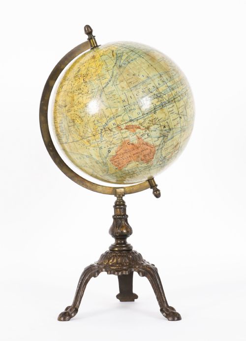
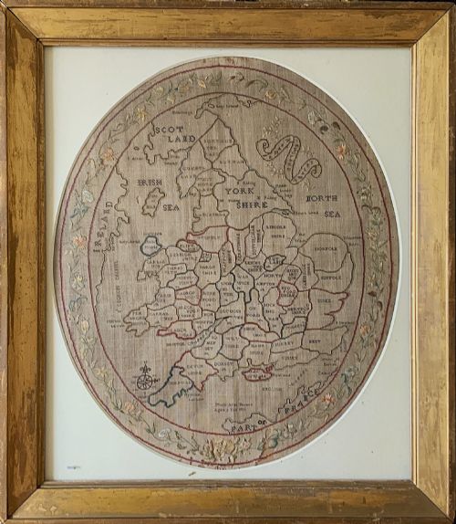
The material form varies between sheets intended for framing, bound folio plates, and specialised formats like terrestrial globes and needlepoint samplers. Paper sheets often bear the creases and margins of their original folding book plates or wall mountings. Framing preserves the delicate paper edges and contemporary watercolour tinting applied by hand.
Origin and publisher markings establish the historical context of each piece, linking specific works to London publishers or continental workshops. Regional maps focus on localities such as Surrey, Southern England, or international territories like the Russian Dominions and Kashmir.
Materials and Production
Paper serves as the primary substrate, carrying printed copperplate or steel engraving lines finished with applied watercolour. Publishers utilised robust rag papers designed to withstand folding into atlases or mounting onto linen backings for wall display. Printers applied black ink through engraved plates before colourists added regional boundaries by hand.
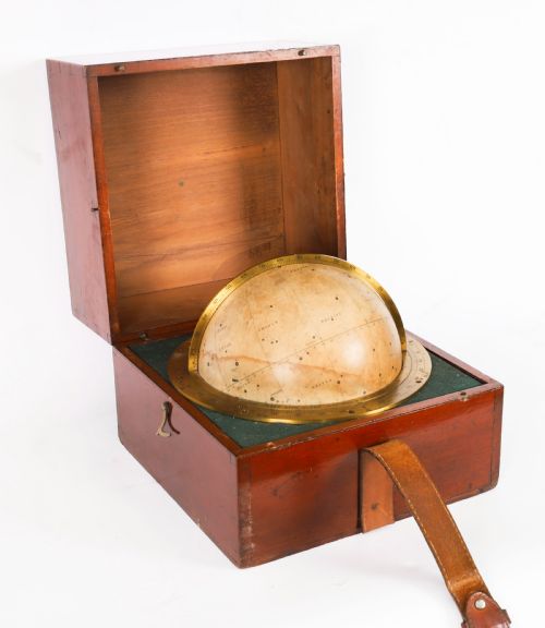
Framed examples rely on wood mouldings, oak, mahogany, or specialised frames to protect the sheet margins from handling and environmental wear. Globes incorporate brass mountings, wooden stands, and printed paper gores applied over carved spheres of wood or composition material.
Listings feature paper, brass, wood, mahogany, ink, and watercolour applied across maps, cabinets, and globes.
Evaluating Quality and Condition
Quality rests upon the clarity of the engraved lines, the precision of the hand-applied watercolour, and the completeness of the sheet margins. Crisp plate impressions and legible typography distinguish master cartographers from standard commercial publications.
The survival of original colour without excessive fading or paper acidification elevates a specimen. Uncut margins and the absence of heavy professional restoration preserve the integrity of the original publication.
Lebegue and Cie·Hughes and Son·Willam Darton·Jas Wyld·John Cary·J. Duncan·C. Smith
The 19th Century Map Glossary
- Steel engraving
- A printmaking technique utilising a steel plate to produce exceptionally fine and sharp lines. Publishers favoured this method for intricate maps and detailed town plans.
- Gore
- A tapering strip of printed paper shaped to cover a sphere. Terrestrial and celestial globes utilise these segments to form a continuous map of the earth or stars.
- Hand-coloured
- The practice of applying watercolour pigments by hand to a printed monochrome map. This added visual distinction to political boundaries and geographical regions.
19th Century Map: Frequently Asked Questions
How should I frame an antique map?
Choose conservation grade materials and UV filtering glass to protect fragile paper from light damage and atmospheric moisture. Mount the sheet using hinges of Japanese paper and starch paste rather than direct adhesive.
Ensure the frame allows a small gap between the glass and the map surface so the paper breathes naturally over time.
Were these maps originally bound in books?
Many surviving examples originated as folding plates within contemporary atlases, travel books, or parliamentary reports. Crease marks often remain visible where the sheet folded to fit a specific binding.
Isolating these plates for framing became a common practice to display detailed regional cartography on walls.
How do I identify the date of a map?
Examine the title cartouche, marginalia, and publication lines for explicit dates, publisher names, and London addresses. Geographical boundaries depicted on the sheet also provide clues, as national borders and colonial territories shifted frequently across the era.
Comparing place names against known publishing records confirms the precise year or decade of issue.
What is the difference between a wall map and an atlas plate?
Wall maps were printed on larger scales, often backed with linen to support rolling or hanging in public offices, schools, and private libraries. Atlas plates remained smaller, folded compactly, and served reference purposes for individuals.
Linen backing and wooden mounting rods usually indicate a piece intended for sustained display rather than book binding.