






Georgian Copperplate Map
A georgian copperplate map brings domestic geography and maritime voyages onto the wall with fine inkwork and period framing.
Georgian Copperplate Map
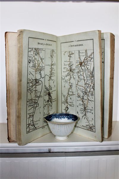
Buyers seeking a georgian copperplate map encounter framed cartography spanning the eighteenth century and the early nineteenth century. These sheets document counties, countries and global voyages through engraved lines on paper.
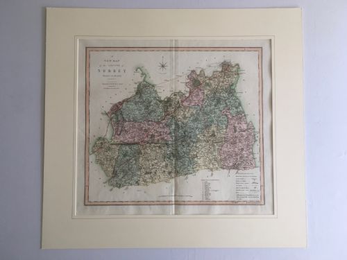
The selections on this page include framed maps of English counties such as Cheshire, Westmorland, Berkshire, Essex, and Surrey, alongside regional maps of Scotland and Ireland. Works relating to Lord George Anson represent the voyage category.
Most examples appear behind glass within wood, gilt wood, burr wood, or gold leaf frames. Wall art forms and cartographic reference books complete the grouping found in the current evidence.
Materials and construction
Makers housed these maps in wooden surrounds, frequently finished with gilt wood, burr wood, or gold leaf, and protected the paper beneath glass.
The listings feature paper maps and charts rendered in ink, housed within wood, gilt wood, and burr wood frames.
Judging quality in cartography
Quality rests upon the crispness of the copperplate impression and the survival of the paper sheet within its frame. Finer examples retain deep black ink lines and distinct cartographic detail without excessive fading.
The surrounding frame also dictates the character of the piece, where skilled gilding or carefully selected burr wood elevates the visual weight of the wall art.
Rob't Morden·Thomas Kitchin·Eman Bowen·C. Smith
The Georgian Copperplate Map Glossary
- Copperplate
- An intaglio printing method using a sheet of copper into which an image is incised with a burin or etched with acid. This technique allows for exceptionally fine lines and lettering on early maps.
- Cartography
- The study and practice of making maps. In antique pieces, this encompasses both scientific surveying and decorative regional illustration.
- Gilt Wood
- Timber that has been coated with a thin layer of gold leaf or powder. This treatment adds a reflective border to framed maps and prints.
- Burr Wood
- Wood taken from a tree growth where the grain has curled in a deformity. It provides a highly figured, swirling pattern favoured in quality picture frames.
Georgian Copperplate Map: Frequently Asked Questions
How do I hang a framed map?
Secure the piece to a sturdy wall using appropriate fixings suited to the weight of the wood frame and glass.
Keep the map away from direct sunlight to protect the paper and ink from fading over time.
Are these maps original eighteenth-century printings?
The listings comprise works dated from the eighteenth and early nineteenth centuries, produced using period copperplate printing techniques.
Each entry records specific dates or centuries attributed to the individual map or cartographic book.
What framing materials are used?
Frames are constructed from wood, frequently enhanced with gilt wood, burr wood, or gold leaf.
Glass fronts protect the paper sheets from dust and atmospheric moisture while on display.
Do the maps show counties or countries?
The selection includes specific English counties like Berkshire, Cheshire, Essex, Surrey, and Westmorland, alongside broader regional maps of Scotland and Ireland.
Other items depict international voyages and maritime charts such as the harbour of Liverpool.