



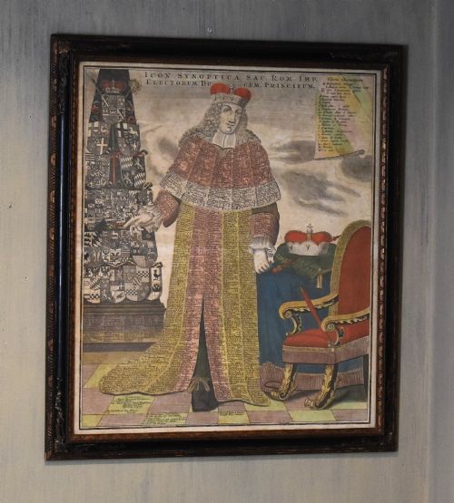

Antique Framed Map
An antique framed map brings centuries of geography and artistry onto the wall, offering a tangible window into how earlier generations viewed their world.
Antique Framed Map
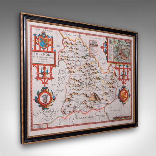
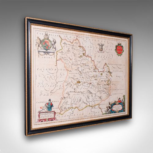
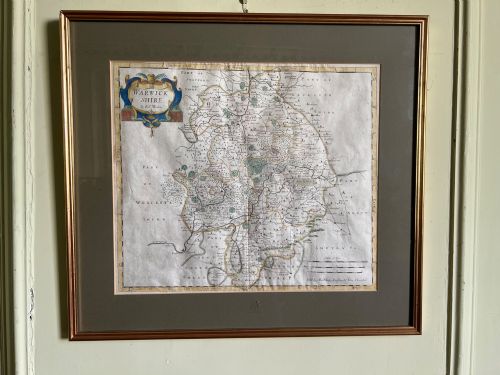
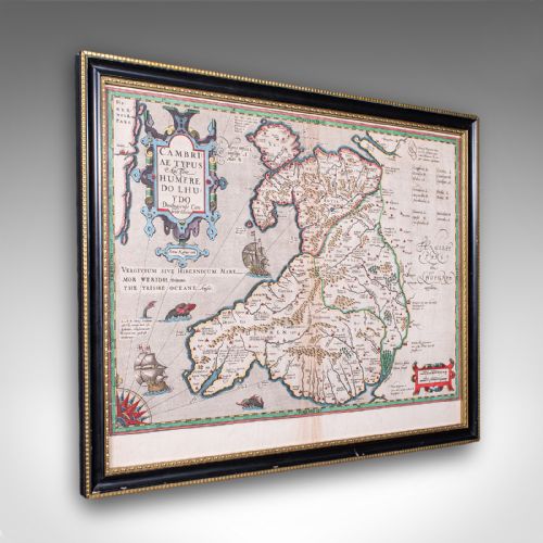
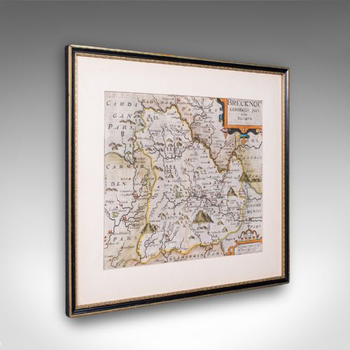
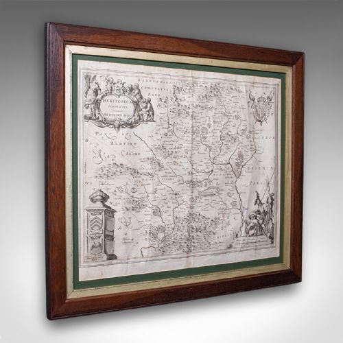
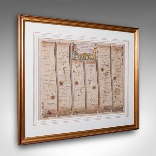
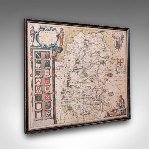
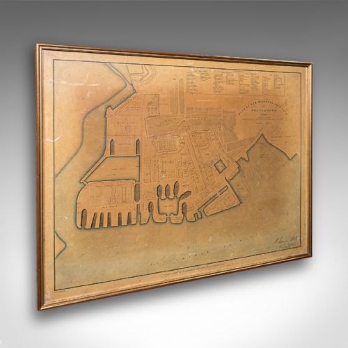
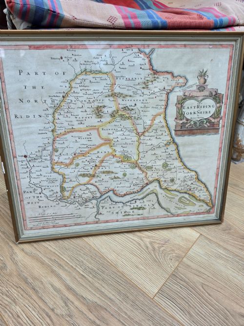
When searching for an antique framed map, collectors encounter cartographic works spanning from the seventeenth century through the Edwardian era, encompassing regional county surveys, continental overviews, and detailed town plans.
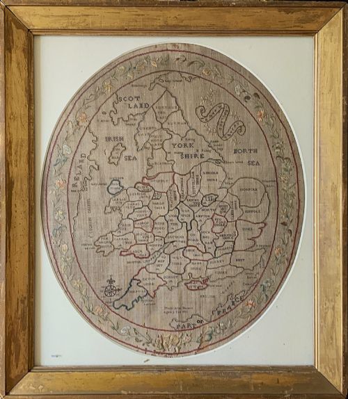
The selections on this page frequently feature English, Dutch, and French cartography, presented in formats that range from copperplate atlas engravings to embroidered needlework samplers depicting geography.
Framed maps combine historical research with decorative wall art, preserving details of past territories, roads, and settlements behind glass within period timber frames.
Materials and Techniques
Cartographers and engravers produced these works primarily on laid or woven paper using dark ink, often applying hand-applied watercolour washes to delineate regional boundaries and decorative cartouches.
Needlework map samplers substitute thread and linen for ink and paper, requiring young makers to stitch counties, borders, and lettering by hand.
Workshops housed these paper and textile artefacts inside wooden frames, frequently incorporating gilt wood, oak, or gold leaf accents, protected beneath sheets of glass.
Antique Framed Map Retail Price Guide 2026
Typical asking prices for framed map among the pieces listed under this phrase on Sellingantiques today, from the lower quarter to the upper quarter. They describe what is for sale here now, not the wider market.
Mary Banion stitched her geography lesson into eternity at age nine, proving that homework occasionally survives three centuries.
Factors Defining Quality
Quality rests upon the clarity and crispness of the original plate impression, distinguishing sharp, early strikes from worn later editions where lines lose definition.
The integrity of the paper and the preservation of original hand-colouring significantly influence the desirability of a piece, alongside the historical importance of the cartographer.
The framing material also plays a role, with period mouldings such as gilt wood or maple enhancing the overall presentation of the cartography.
Joan Blaeu·John Speed·Robert Morden·Johannes Janssonius·Thomas Jefferys·Braun and Hogenberg
The Antique Framed Map Glossary
- Cartography
- The science or practice of drawing maps. It encompasses the detailed surveying and artistic rendering of geographical regions.
- Cartouche
- A decorative frame or panel on a map, often bearing the title, scale, or maker's signature. These ornaments reflect the artistic style of the period.
- Atlas
- A bound collection of maps. Many loose antique map sheets originated from these publications before being framed for display.
- Sampler
- A piece of embroidery produced as a demonstration or test of skill. In geographical examples, makers stitched maps of countries or counties using coloured threads.
- Plate engraving
- A printmaking technique where an image is incised onto a metal plate. Ink is forced into the grooves and transferred under pressure to paper.
Antique Framed Map: Frequently Asked Questions
How do I care for an antique map on paper?
Paper maps require protection from direct sunlight to prevent the fading of ink and watercolour pigments. Maintaining a stable indoor environment avoids humidity damage and foxing.
Displaying pieces away from heat sources preserves both the paper support and the timber frame. Professional framing using conservation-grade materials ensures long-term stability for delicate works.
Are needlework maps different from printed ones?
Needlework map samplers are textile artworks created by hand with thread on linen rather than printed from engraved metal plates. Young scholars stitched these educational pieces to demonstrate geography and needle skills.
While printed maps focus on cartographic detail and engraving quality, samplers showcase domestic handcraft and regional educational traditions from the Georgian period.
How can I tell the age of a map?
Dating relies upon internal evidence such as place names, political boundaries, cartographer signatures, and printing styles. Typography and the style of the decorative cartouche also offer clear chronological indicators.
Paper characteristics, watermark analysis, and framing construction further assist in establishing whether a piece originates from the seventeenth century or later eras.