








Framed Chart
Framed antique chart pieces bring historical cartography, diagrams and pedigrees into modern rooms behind protective glass and timber.
Framed Chart
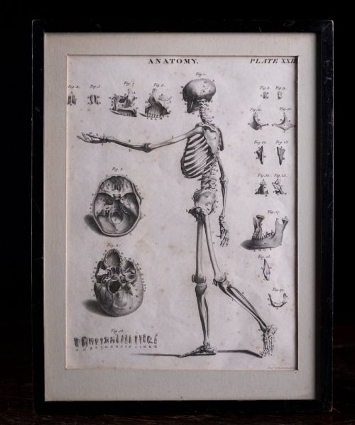
A framed antique chart encompasses geographical maps, town plans, anatomical engravings, family pedigrees and instructional diagrams originating from the seventeenth century through to the mid-twentieth century. Buyers seek these items to anchor a room with tangible history, finding examples ranging from early English county maps by Robert Morden to French continental cartography and mid-century automotive posters.
The selection on this page leans heavily toward Georgian and Victorian cartography, alongside seventeenth-century atlas plates and twentieth-century educational or automotive ephemera. Most pieces present as wall art or framed maps, preserved behind glass within timber frames such as oak or giltwood.
Origins span English, French, Scottish and Italian cartographic traditions, reflecting both local administrative boundaries and global exploration. Whether displaying the Caribbean, the Russian dominions or a local dockyard, each item serves as a window into past knowledge systems.
How they were made
Makers produced these works primarily on paper or linen using hand-applied ink and engraving techniques, often hand-colouring details after printing. The physical survival of these fragile sheets relies entirely on subsequent framing in wood, such as oak, sometimes enhanced with gold leaf or giltwood.
Protection came from fitting the paper works behind glass, which shielded the delicate ink and linen surfaces from atmospheric moisture and handling over the centuries. Structural mounting onto backing boards secured the sheets, though older mountings varied considerably in archival stability.
One extraordinary nineteenth-century paper sign maps out The Christians Clock of Time, keeping spiritual punctuality.
What varies in quality
Quality separates through the clarity of the original impression and the integrity of the paper or linen sheet. Crisp plate marks and legible, sharp ink lines distinguish superior cartographic engravings from worn or heavily faded impressions.
The historical significance of the subject matter and the quality of the contemporary or period framing also dictate distinction. Retaining original hand-colouring in vibrant condition elevates a piece above standard monochrome examples.
Andrew Bell·Thomas Jefferys·Robert Morden·C. Smith·Jas Wyld
The Framed Chart Glossary
- Cartography
- The science or practice of drawing maps. This encompasses everything from county surveys to global projections.
- Atlas engraving
- A map or chart specifically printed for inclusion in a bound collection of maps. These often retain binding folds or plate borders.
- Giltwood
- Wood, typically carved timber, that has been covered with a thin layer of gold leaf or gold paint. It frequently frames formal Georgian and Victorian pieces.
- Pedigree
- A genealogical table or chart recording lineage and descent. Examples trace family trees across multiple centuries.
- Plate mark
- The indentation left on paper by the edge of a copper printing plate during the intaglio printing process. Its presence confirms traditional printing methods.
Framed Chart: Frequently Asked Questions
How should I hang a framed antique chart?
Hang these pieces away from direct sunlight to prevent the ink and paper from fading over time. Maintain stable room humidity to protect both the paper chart and the wooden frame.
Use secure wall fixings suited to the weight of the timber and glass assembly. Professional picture hangers ensure the piece rests safely without straining the original frame joints.
Are these charts original period items?
The listings comprise authentic period items dating from the seventeenth century through to the mid-twentieth century. Each piece reflects the printing and cartographic techniques of its specific era.
Evidence in the titles points to genuine historical maps, engravings and posters rather than modern reproductions. Checking the paper texture, plate marks and framing style helps confirm the age.
How do I identify the date of a map?
Dates often appear within the cartouche, margins or accompanying publication details inscribed by the cartographer or publisher. Historical place names and geopolitical boundaries depicted on the chart also provide firm chronological clues.
Reference works matching the maker, such as Robert Morden or Thomas Jefferys, help narrow the publication window. Stylistic elements of the engraving and typography further support accurate dating.
Can I remove the chart from its frame?
Removing antique paper from its frame risks damaging fragile materials like aged paper, linen and ink. Historic framing methods often incorporate acidic backing boards that should only be handled by professional conservators.
Leaving the piece undisturbed preserves the structural integrity achieved over centuries. If framing updates are necessary, consult a specialist in paper conservation.