




Vintage Map of the World
A vintage map of the world brings centuries of cartography into a room, offering both decorative presence and a tangible record of changing global perspectives.
Vintage Map of the World
When searching for a vintage map of the world, buyers encounter a diverse range of objects spanning multiple centuries, from framed eighteenth-century cartography sheets to mid-century desk items. The selection frequently includes terrestrial globes mounted on wooden or metal stands, alongside bound atlases and wall art depicting global voyages.
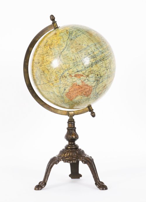
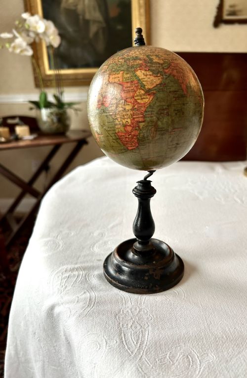
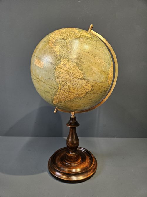
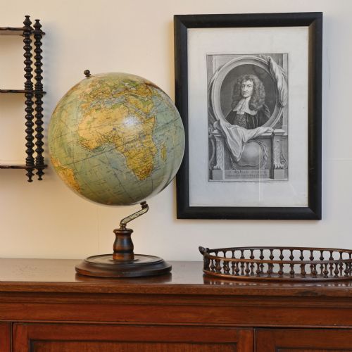
Globes dominate the physical forms available, appearing in various diameters from four-inch miniature desk pieces to large floor-standing models. These terrestrial spheres sit upon walnut feet, cast iron bases, or simple wooden stands, often accompanied by specialised world time desk clocks and oil lamps featuring globe shades.
Materials and construction methods
The construction of these pieces relies heavily on paper printed maps applied to spheres made of paper mache or plaster, supported by bases fashioned from walnut, brass, metal, cast iron, and wood. Many items incorporate glass components, particularly in desk clocks and lamp shades, while framing for paper maps often utilises wood and glass.
Cartographic details are transferred via printed paper gores or book pages, reflecting the prevailing geographical knowledge of periods such as the Georgian era, Victorian times, and the mid-twentieth century. Structural integrity is provided by heavy metal or wooden mountings designed to allow the terrestrial spheres to rotate.
Current listings feature items from the eighteenth century, the Georgian period, the Victorian era, and the mid-twentieth century.
Determining quality and condition
Quality in these objects rests upon the legibility and detail of the cartography, the preservation of the original paper surface, and the stability of the physical mount. Finer examples retain clear hand-coloured political boundaries and crisp typography across the paper gores without excessive fading or loss.
The materials of the base and mounting hardware also distinguish the grade of a piece, with solid walnut stands, substantial brass fittings, and intact cast iron components indicating superior manufacture compared to lighter, purely utilitarian mountings.
Lebegue And Cie·Geographia·Phillips·George Philips And Son Ltd·M Vivien·Carl Adami·Raths·Kienzle
The Vintage Map of the World Glossary
- Terrestrial globe
- A spherical model of the Earth displaying landmasses, oceans, and geopolitical boundaries. These objects serve as three-dimensional maps scaled to represent the planet.
- Gores
- Triangular paper strips printed with map sections and applied to the curved surface of a globe. Precise alignment of these strips is essential for accurate cartographic representation.
- Atlas
- A bound collection of maps, frequently produced as reference books. These volumes compile regional and global charts into a single reference format.
Vintage Map of the World: Frequently Asked Questions
How do I clean a paper globe?
Cleaning requires a soft, dry cloth to gently remove dust from the paper surface without applying moisture. Liquid cleaners risk dissolving the old adhesives and damaging the printed gores.
Friction should be kept to a minimum to preserve the fragile cartographic details and any original varnish applied during manufacture.
Are desk globes mechanically adjustable?
Many terrestrial globes feature a semi-meridian ring that allows the sphere to tilt and rotate at an angle corresponding to the Earth's axial inclination. This mechanical mounting lets the user spin the globe freely on its stand.
Simpler miniature models may rest in fixed positions without adjustable meridians, serving purely as static decorative or educational desk objects.
How are different production periods identified?
Dating relies primarily on the geopolitical boundaries printed on the landmasses, which reflect the borders recognised at the time of publication. Country names, colonial possessions, and capital cities shift across different decades.
Printed dates, maker marks, and stylistic indicators in the typography or the materials of the stand provide further evidence for establishing the era of manufacture.
Where were most of these items manufactured?
Production centres were concentrated in major European publishing and manufacturing hubs, particularly in Britain, France, and Germany. Specialised firms produced globes and cartography books for schools, offices, and domestic libraries.
Local workshops and larger publishers distributed these items internationally, resulting in the survival of diverse national styles and labeling conventions.