












Antique Paper Map
These antique paper map pieces record changing worlds through centuries of ink, paper and hand-colouring, offering a direct tangible link to historical cartography.
Antique Paper Map
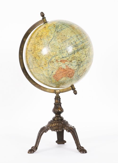
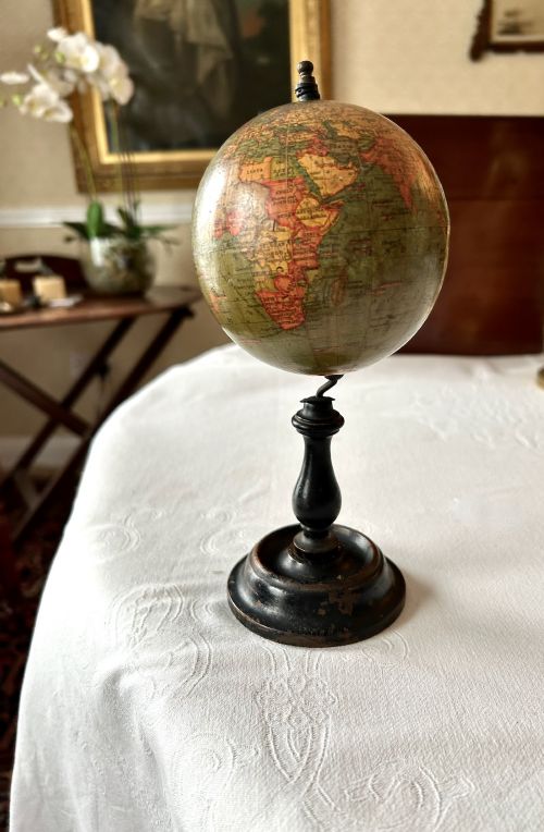
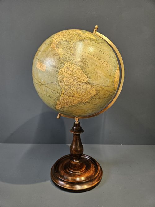
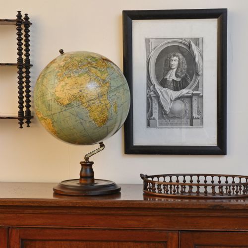
An antique paper map encompasses engraved sheets, framed county plates and terrestrial spheres spanning from the seventeenth century through to the interwar period. Buyers encounter regional surveys, town plans and world charts produced by notable cartographers across Britain, Europe and the wider world.
The material selection ranges from traditional paper and ink housed in wood frames to papier-mâché and plaster globes mounted on walnut or brass hardware. These pieces function as decorative wall art or desk accessories that document historical borders, topography and maritime routes.
How They Were Made
Production relied on copperplate engraving and woodcut printing onto laid or wove paper, frequently finished with hand-applied watercolours to demarcate regional boundaries and decorative cartouches. Globes utilised segmented paper gores pasted over spherical plaster or papier-mâché cores before being mounted onto turned wooden stands.
Materials such as brass, glass and mahogany provided structural support and protective glazing for framed cartography, while iron and ink secured the permanence of the printed lines.
Listings feature paper, wood, glass, brass and mahogany across centuries of cartographic production.
What Varies in Quality
Quality rests upon the precision of the engraving, the clarity of the contemporary hand-colouring and the survival of the original margins and framing. Early impressions pulled directly from freshly cut copperplates display crisper lines than later strikes or facsimile reproductions.
The preservation of the paper support, the absence of excessive toning and the originality of the mounting hardware or wooden stands distinguish standard decorative sheets from works by master cartographers.
John Speed·Joan Blaeu·Robert Morden·Johannes Janssonius·George Philips and Son
The Antique Paper Map Glossary
- Cartouche
- A decorative frame or medallion on a map enclosing the title, scale, or cartographer details. These ornate elements often reflect the artistic conventions of the period in which the map was engraved.
- Gores
- Tapered strips of printed paper applied to the surface of a globe to form a continuous sphere. Aligning these segments accurately required considerable skill from the globe maker.
- Laid paper
- Paper manufactured with a visible grid of parallel lines created by the wire mesh of the mould during production. It is commonly found in older books and maps predating the nineteenth century.
- Terrestrial globe
- A spherical representation of the Earth displaying landmasses, oceans and geopolitical borders. These educational and decorative instruments often feature detailed paper gores mounted on desk or floor stands.
- Plate mark
- The indentation left on paper by the edge of a copper printing plate under high press pressure. This impression confirms the intaglio printing method used for historical engravings.
Antique Paper Map: Frequently Asked Questions
How should I display framed antique maps?
Keep framed pieces away from direct sunlight to prevent the fading of hand-applied watercolours and the yellowing of the paper support. Maintaining stable indoor humidity levels also protects both the paper and the wooden frames from warping.
Ensure that framing materials are acid-free to prevent degradation over time. Professional framing using conservation-grade glass offers further protection against environmental damage.
How do I care for a vintage globe?
Dust the surface gently with a soft, dry cloth and avoid using liquid cleaners or chemical sprays on the paper gores. Keep the piece away from direct heat sources to prevent the plaster core or paper from cracking.
Inspect the wooden stands and brass hardware periodically for stability. Gentle handling of the meridian ring preserves the mechanical joints of the globe.
How can I tell the age of a map?
Examine the paper characteristics, typographical styles and historical placenames depicted within the boundaries. Watermarks within the paper substrate often provide clues regarding the manufacturing date and mill origin.
Compare the cartographic details against known historical editions and town charters. Contemporary hand-colouring styles also offer useful chronological indicators.
What is a town plan?
A town plan provides a detailed architectural and topographical layout of a specific settlement or fortification rather than a large regional overview. These plans document streets, docks and important buildings from past eras.
They serve as valuable historical records of urban development and municipal planning. Collectors prize them for their granular detail of historical cities.