
Surrey Antiques by Gary J Hall has dated this piece to the 18th Century.
The map is particularly remarkable for its use of three distinct mileage scales, a feature that underscores the meticulous attention to detail and the precision that was essential for navigation and travel during the period. The vibrant hand colouring enhances the visual appeal, making it not only a valuable tool for understanding the geography of Monmouth County but also a striking piece of art that captures the essence of the landscape in a bygone era. Its enduring allure lies in its blend of utility and beauty, serving as a testament to the craftsmanship of Robert Morden and the rich cartographic history of the United Kingdom.
Frame: 22 1/4 inches x 20 1/4 inches (56.5 cm x 51.5 cm)
Surrey Antiques by Gary J Hall has dated this piece to the 18th Century.
We offer a friendly and reliable service based on traditional values, where personal service and customer satisfaction are paramount..
You can view the stock and full dealer information on the Surrey Antiques by Gary J Hall Profile Page
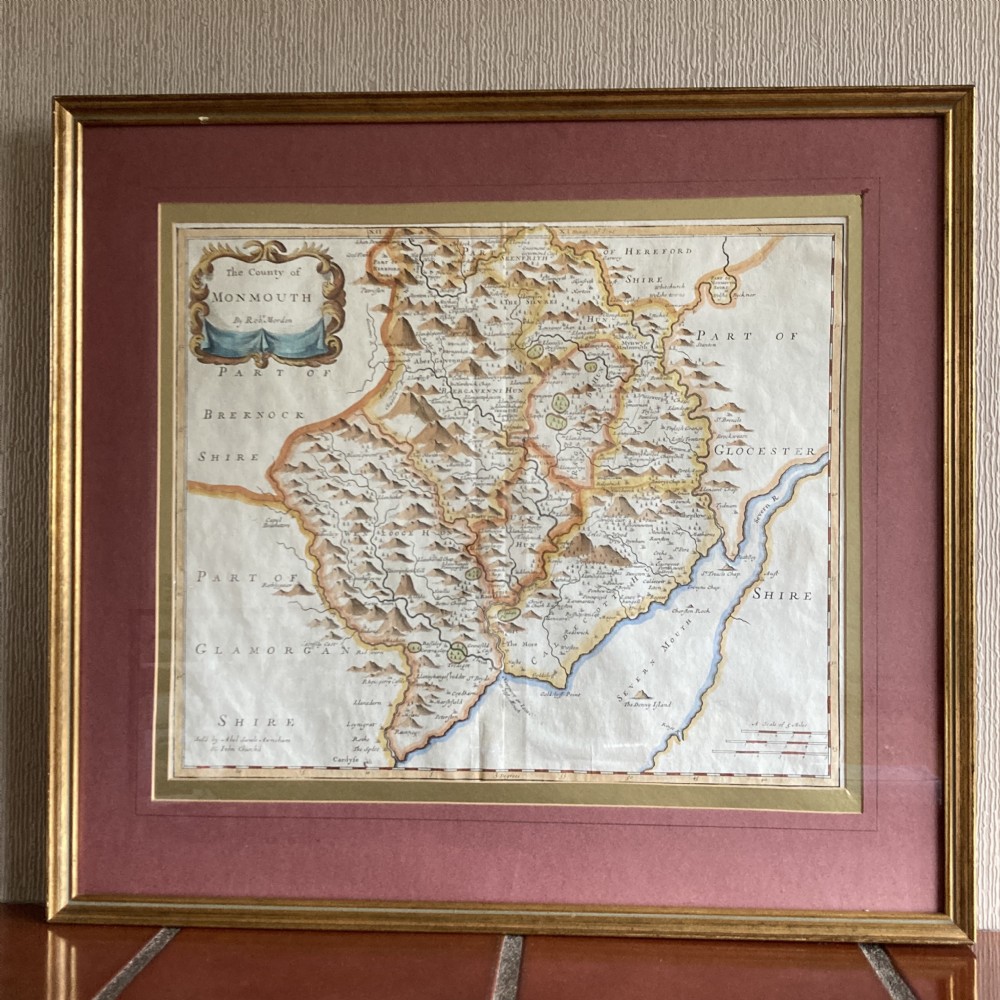

Map of the County of Monmouth by Robert Morden, Circa 1722


