





Early Cartography
Early cartography brings centuries of printed geography, engraved county details and pocket or desk globes into domestic spaces.
Early Cartography
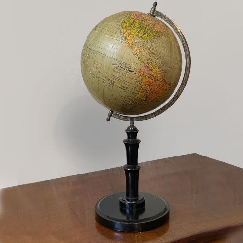
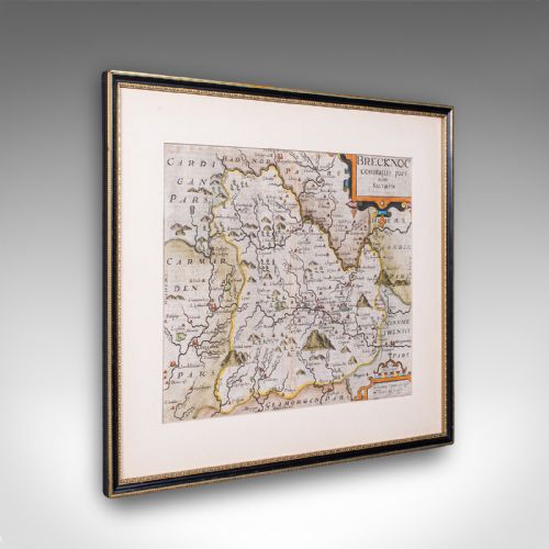
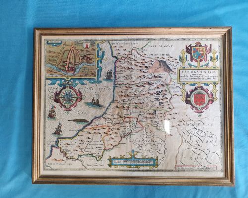
Early cartography encompasses framed maps and terrestrial globes spanning the seventeenth century through to the early twentieth century. Buyers seeking early cartography often encounter engraved county maps, Dutch atlas sheets and globes mounted on stands.
The material record on this page centres on seventeenth-century and eighteenth-century paper maps, alongside terrestrial globes produced in the Edwardian era and the 1930s. Wall art formats dominate the selection, usually framed for immediate display.
Regional British county maps by notable cartographers appear frequently alongside continental European maps from the Dutch Golden Age. These pieces trace the evolution of geographical recording and decorative cartographic design.
Materials and Methods
Paper forms the primary surface for printed maps, receiving hand-applied ink and occasional hand-colouring. Engraved copper plates provided the lines for seventeenth-century county surveys and continental maps.
Globes incorporate wood, plaster, glass and brass mountings to support spherical paper gores finished with gold leaf or printed cartography. Framing materials for maps include giltwood and simple timber mouldings designed to protect fragile paper.
Early Cartography Retail Price Guide 2026
Typical asking prices for early cartography among the pieces listed under this phrase on Sellingantiques today, from the lower quarter to the upper quarter. They describe what is for sale here now, not the wider market.
Several early maps depict sea monsters swimming calmly beside detailed county boundaries.
Assessing Quality
Quality in early cartography rests upon the clarity of the original copperplate engraving and the preservation of the paper sheet. Crisp plate marks, legible text and minimal loss to margins distinguish superior map examples.
For globes, the condition of the paper gores and the stability of the wooden, plaster and brass mechanical structure determine the standard. Strong original colouring and robust contemporary framing enhance the standing of a piece.
Johannes Janssonius·William Hole·Rob't Morden·Joan Blaeu·John Speed·Christopher Saxton
The Early Cartography Glossary
- Cartography
- The science or practice of drawing maps. Early examples often combine geographical data with decorative cartouches and heraldic markers.
- Gore
- A wedge-shaped paper strip printed with geographical segments that is applied to a sphere to form a terrestrial globe. Multiple gores align to cover the round surface accurately.
- Copperplate engraving
- A printmaking technique where lines are incised into a copper sheet with a sharp tool to hold ink. This method produced the fine lines found on seventeenth-century maps.
- Terrestrial globe
- A spherical scale model of the Earth mounted on a stand, showing landmasses, oceans and political boundaries. These objects frequently date from the Edwardian period or the twentieth century in this collection.
Early Cartography: Frequently Asked Questions
How should I hang early maps?
Keep framed maps away from direct sunlight to prevent the ink and paper from fading over time. Stable indoor humidity protects the paper and wooden framing from warping.
Use professional framing services with UV-filtered glass where possible to secure the sheet without causing damage to the edges.
What periods do these maps cover?
The selection spans from the seventeenth century through the Georgian era to early twentieth-century globes. Seventeenth-century examples often feature Dutch atlas production and English county surveys.
Later pieces include eighteenth-century county maps and globes manufactured during the Edwardian period and the 1930s.
How do I care for a globe?
Dust globes gently with a dry, soft cloth and avoid using liquid cleaners on the paper surface. Protect the brass and wooden components from excessive moisture.
Position globes away from direct heat sources to prevent the plaster core and paper gores from cracking.
Are dual-sided maps common?
Some seventeenth-century county maps feature text or details printed on both sides of the sheet. This reflects the bookbinding origins of atlas pages.
Framing such pieces often requires specialist glazing to allow visibility of the reverse side.