


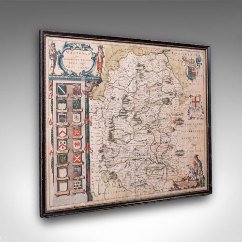


Antique Map Art
Antique map art brings historical cartography into the room as framed wall art, offering a direct view of past regions and borders.
Antique Map Art
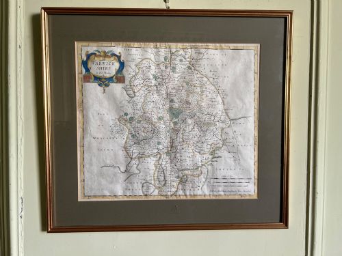
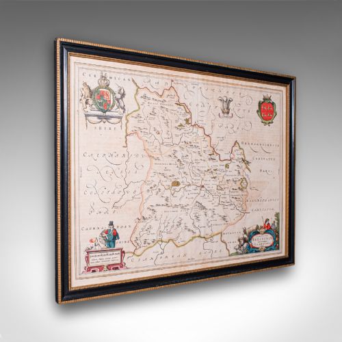
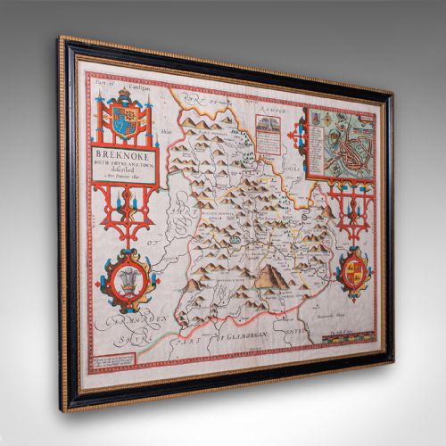
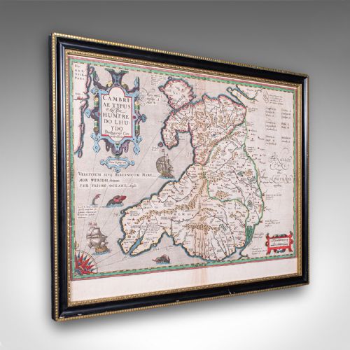
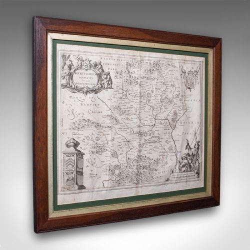
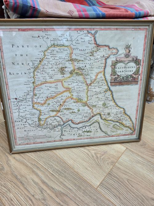
Antique map art spans centuries of cartographic history, encompassing engraved county maps, continental atlases, and detailed town plans. These pieces range from seventeenth-century Dutch atlas plates to eighteenth-century French and English folio excerpts.
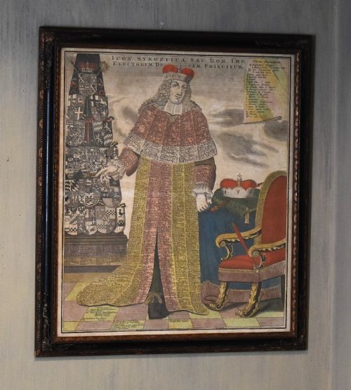
Geographical subjects vary from local British shires like Breconshire and Cheshire to broader territories including Asia, North America, and the Holy Roman Empire. Each piece records the evolving science and decorative standards of its particular period of production.
Materials and Techniques
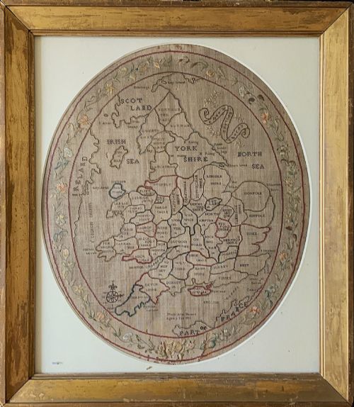
Framing utilised wood, gilt wood, and glass to protect fragile paper sheets from environmental wear. In textile examples, makers employed linen and coloured threads to stitch geographical layouts into needlepoint samplers.
Antique Map Art Retail Price Guide 2026
Typical asking prices for map art among the pieces listed under this phrase on Sellingantiques today, from the lower quarter to the upper quarter. They describe what is for sale here now, not the wider market.
Listings feature paper, glass, wood, ink, watercolour, gold leaf, linen, and gilt wood across various formats.
Assessing Quality and Execution
Quality rests upon the clarity of the printed line, the preservation of the paper, and the precision of any contemporary hand colouring. Strong impressions from early copper plates display crisp lettering and sharp topographical detail without blurring or fading.
The survival of full margins around the printed plate mark and the integrity of original Latin or vernacular text on the reverse influence the standing of a piece. Skilled hand-applied pigment enhances the visual depth of cartographic ornamentation without obscuring the underlying engraving.
Joan Blaeu·John Speed·Johannes Janssonius·Robert Morden·Thomas Kitchin
The Antique Map Art Glossary
- Cartography
- The science or practice of drawing maps. This discipline combines surveying data with artistic illustration to represent geographical spaces.
- Atlas
- A bound collection of maps published together in a volume. Many individual sheets found in art collections originated as detached pages from these folios.
- Cartouche
- A decorative frame enclosing the map title, scale, or publisher details. These ornate elements often feature heraldry, figures, or botanical motifs typical of the period.
- Plate mark
- The indentation left on paper by the edge of a copper printing plate under pressure. Its presence confirms the traditional intaglio printing process.
- Sampler
- An embroidered piece demonstrating needlework skill, frequently featuring maps of England and Wales produced by young scholars during the Georgian era.
Antique Map Art: Frequently Asked Questions
How do I hang framed maps safely?
Keep framed paper maps away from direct sunlight to prevent the fading of ink and watercolour pigments. Stable indoor humidity levels protect both the paper substrate and the wooden frame.
Use secure picture hooks rated for the weight of the glass and timber assembly. Professional backing materials help shield the paper from dust and atmospheric pollutants.
How can I tell a seventeenth-century map from a later copy?
Examine the paper quality, plate marks, and typography closely under magnification. Seventeenth-century editions typically feature hand-laid paper with visible chain lines and often carry descriptive text in Latin or Dutch on the reverse.
Later facsimile reproductions display uniform modern paper stocks and lack the crisp intaglio impression left by original copper plates.
What is a needlework map sampler?
Needlework map samplers are textile depictions of geographical regions stitched by hand using coloured threads on linen backing. Georgian schoolgirls produced these educational pieces to demonstrate needlecraft and geographical knowledge.
They combine domestic craft with cartographic design, resulting in colourful wall hangings that outline counties and borders through embroidery.