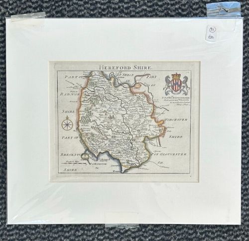
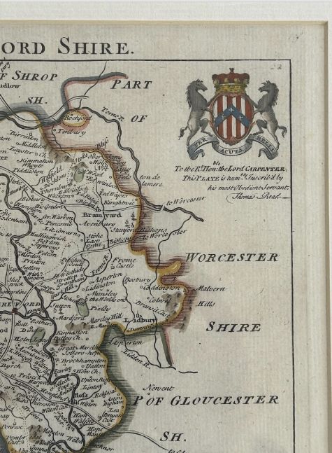
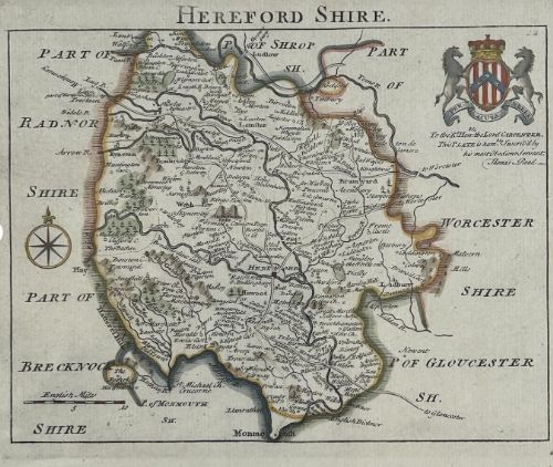
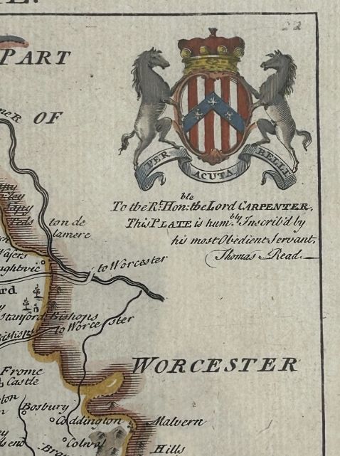
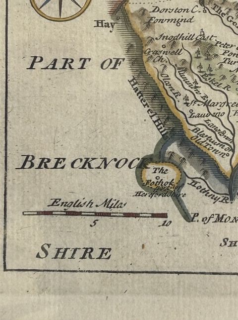
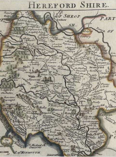
Strickland & Russell has dated this Antique Herefordshire County Map to the 18th Century.
Surface: Laid Paper, later hand-colouring
Cartographer / Publication: Thomas Read, c.1740
From The Small English Atlas
Approximate age of artwork: Mid-18th Century (c.1740)
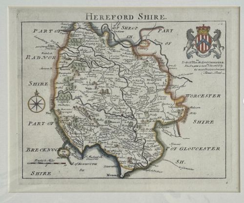
Is the artwork Framed or Mounted: Mounted, as shown (ready for framing).
Later hand-colouring enhances the detail. Nicely mounted and ready to frame. Please see all photos for inspection of condition and detail.
Size of map (approx): 35 x 30 incl. mount (mount aperture 22 x 18 cm)
Strickland & Russell has dated this Antique Herefordshire County Map to the 18th Century.
Yorkshire based art dealers specialising in 19th century & early 20th century oil paintings & watercolours
You can view the stock and full dealer information on the Strickland & Russell Profile Page

Original 18th Century Copperplate Map of Herefordshire by Thomas Read C1740 Hand Coloured Antique Engraving