Strickland & Russell has dated this Antique Georgian Road Map to the 1800s.
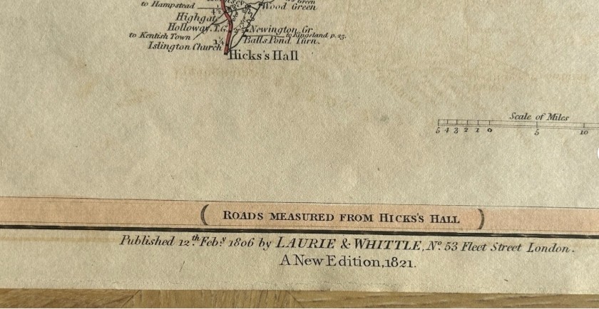
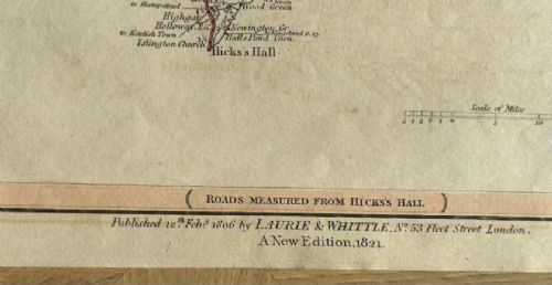
Publisher: Laurie & Whittle, 53 Fleet Street, London
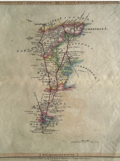
Date: 1821 edition, originally published 1806
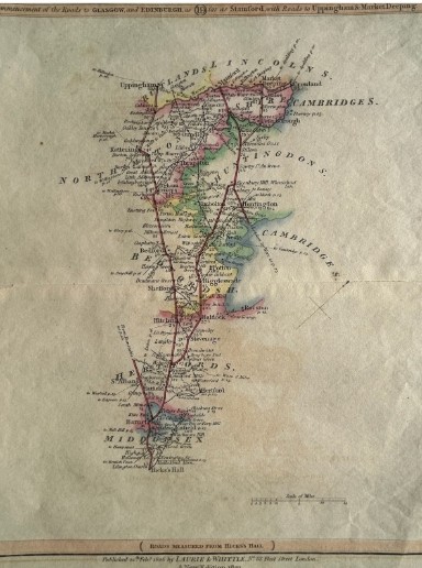
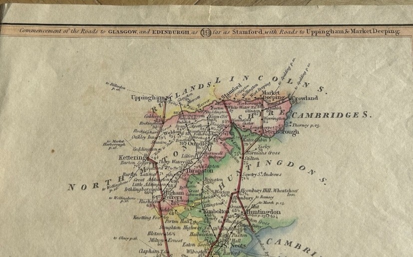
Details: Early 19th-century road map showing the principal route north from Hicks’s Hall, London through Barnet, St Albans, Stevenage, Hitchin, Biggleswade, Huntingdon, Peterborough and Stamford, with branches towards Uppingham and Market Deeping. Distances and coaching-road information are shown throughout.
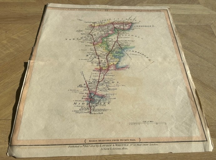
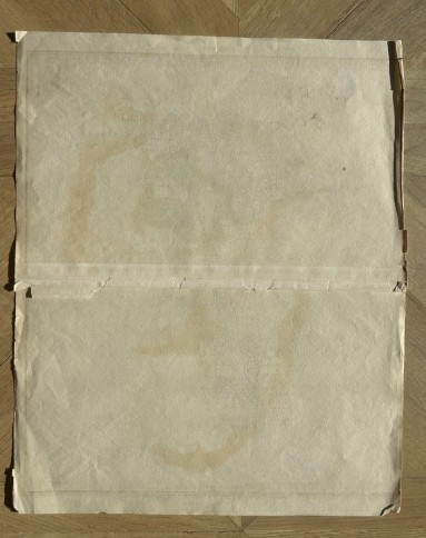
Condition: Antique condition with age toning, folds, creasing, edge wear and small tears. Horizontal fold/repair visible across the sheet and general handling wear. Colours remain attractive and the map is very readable. Please see photographs.
SIZE 27 x 33 cm
Strickland & Russell has dated this Antique Georgian Road Map to the 1800s.
Yorkshire based art dealers specialising in 19th century & early 20th century oil paintings & watercolours
You can view the stock and full dealer information on the Strickland & Russell Profile Page
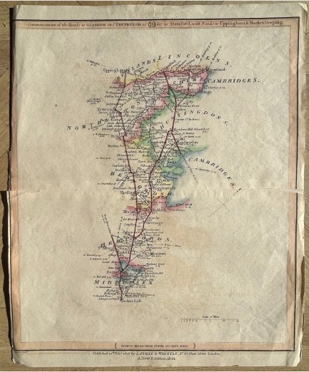
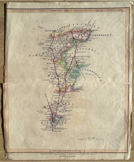
Antique 1821 Laurie & Whittle Road Map London Stamford Uppingham Market Deeping