





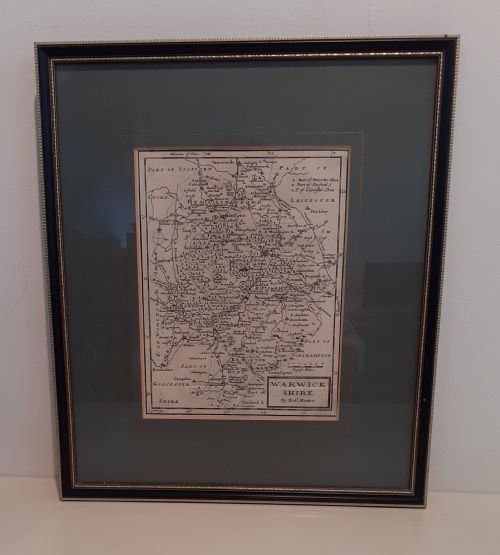
Historic Engraved Map
A historic engraved map brings centuries of geography into your room, printed on paper with ink and often mounted in wood or giltwood frames.
Historic Engraved Map
A historic engraved map represents geographical regions, counties, and global territories produced through manual plate printing. When you search for a historic engraved map, you encounter printed works originating from the seventeenth century, the eighteenth century, and the nineteenth century.
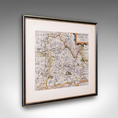
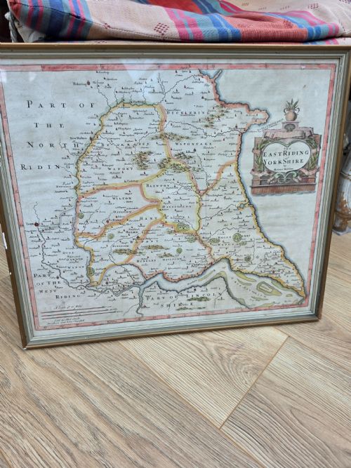
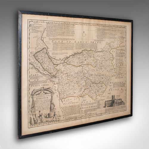
Most examples found on this page consist of framed wall art depicting English counties, Welsh territories, Dutch publications, and world cartography. These pieces span periods from Jacobean cartography through Georgian surveys up to nineteenth-century productions.
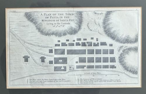
The format typically involves single or dual-sided sheets on paper, occasionally enhanced with watercolour or gold leaf. Cartographic engravings range from local county surveys to international voyages and town plans.
How they were made
Makers produced these works by carving lines into metal plates using sharp tools, applying ink to the surface, and pressing damp paper into the recesses. This technique created sharp, detailed lines that define boundaries, topography, and lettering.
Printers often hand-applied watercolour to highlight regional borders and decorative cartouches after the initial impression. Finished sheets were mounted in timber frames, sometimes utilising glass and gilt wood to protect the delicate paper.
Historic Engraved Map Retail Price Guide 2026
Typical asking prices for historic engraved map among the pieces listed under this phrase on Sellingantiques today, from the lower quarter to the upper quarter. They describe what is for sale here now, not the wider market.
Materials across these listings include paper, ink, watercolour, gold leaf, and gilt wood.
What varies in quality
The quality of preservation in the paper and the integrity of contemporary or later colouring influence the overall character of the piece. Original framing using period wood or giltwood further distinguishes significant examples.
John Speed·William Hole·Thomas Kitchin·Joan Blaeu·Jan Blaeu·Robert Morden·John Cary·J Harrison
The Historic Engraved Map Glossary
- Cartography
- The science and art of making maps. This discipline encompasses the projection, design, and production of charts and regional plans.
- Engraving
- A printmaking technique where an artist cuts lines directly into a metal plate. The resulting grooves hold ink for transfer onto paper under pressure.
- Cartouche
- A decorative frame or tablet on a map enclosing the title, scale, or publisher details. These ornaments often feature heraldry, figures, or botanical motifs.
- Giltwood
- Wood carved and coated with gold leaf or a gold-coloured finish. This material appears frequently on traditional picture frames housing antique works.
Historic Engraved Map: Frequently Asked Questions
How old are these maps?
These maps date from the seventeenth century through to the nineteenth century, spanning periods such as the Jacobean era and Georgian times.
Specific publication dates often appear within the cartouche or title margin, allowing collectors to identify the exact era of production.
Are they original prints?
The pieces shown are genuine period printings pulled from engraved metal plates during their respective centuries.
Techniques involve traditional paper and ink methods used by historical cartographers and publishers.
How should I frame them?
Framing typically involves wood or gilt wood structures paired with glass to shield the paper from environmental damage.
Conservation mounting ensures the paper remains secure without adhesives that could cause long-term staining.
What regions do they show?
The geographical coverage includes English and Welsh counties, Italian regions, Dutch territories, and international voyage routes.
Town plans and world maps also feature among the available cartographic subjects.