23,829  PAGES BROWSED TODAY PAGES TODAY 106 ANTIQUES UPLOADED TODAYNEW ARRIVALS
106 ITEMS ADDED TODAY
Sort Order
Items Per Page
Browse Categories
Sort order
Relevant Links
Items per page
ID #SA1189936
SOLD
Email Phone
Save
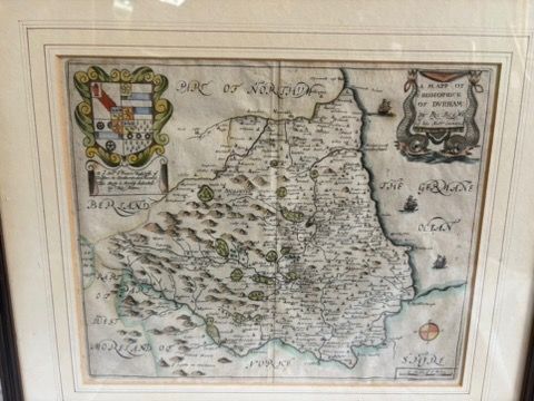
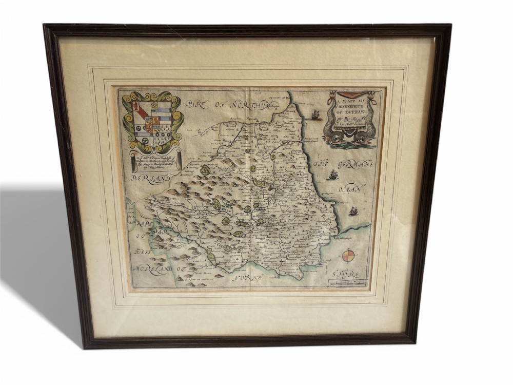
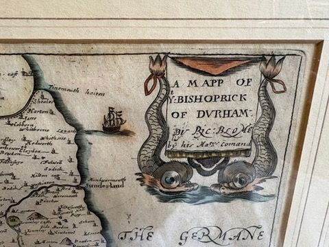
17th Century Map of County Durham by Richard Blome
Sold by The Collector Antiques
sold SA1189936
Sorry, but this item has been sold.

The Collector Antiques

Sellingantiques Verified Since Sep 2015
Browse dealers 92 items
Id #SA1189936
PDF SHARE
SAVE

17th Century Map of County Durham by Richard Blome

17th century
Description

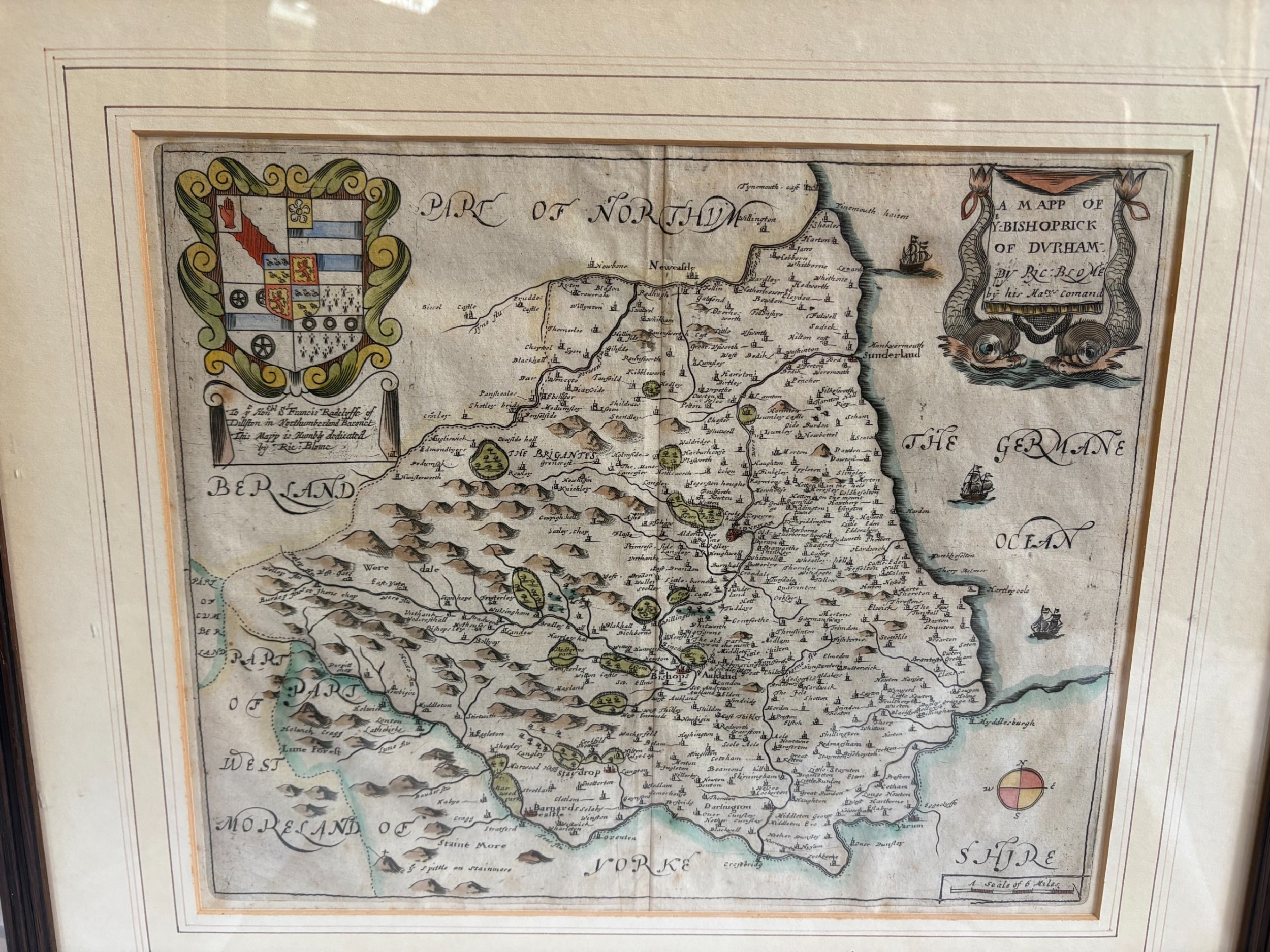
17th century map of County Durham by Richard Blome.

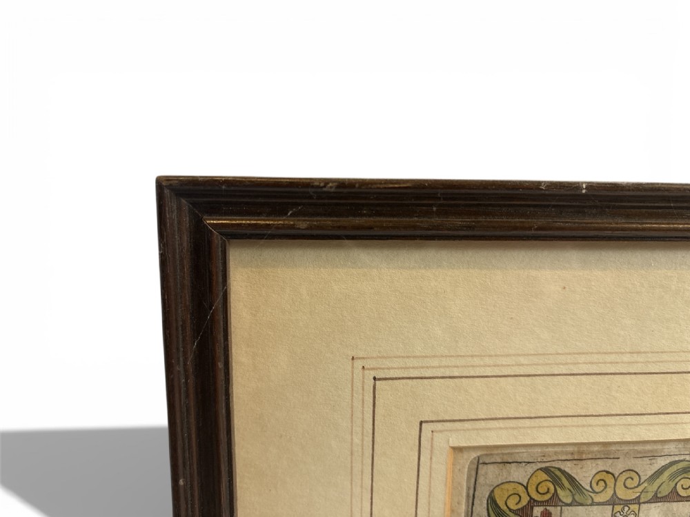
Framed and mounted. C.1673

( 43cm x 47cm x 3cm) £195.00

Physical Dimensions
Height
43cm (16.93")
Width
47cm (18.50")
Depth
3cm (1.18")
Declaration

The Collector Antiques has dated this 17th Century Durham Map to the 17th Century.

Reference Numbers
Sellingantiques Reference
SA1189936
Dealers Internal Reference
260115_01
Description
17th century map of County Durham by Richard Blome.

Framed and mounted. C.1673

( 43cm x 47cm x 3cm) £195.00

Height
43cm (16.93")
Width
47cm (18.50")
Depth
3cm (1.18")
Date of Manufacture

The Collector Antiques has dated this 17th Century Durham Map to the 17th Century.

Reference Numbers
Sellingantiques Ref
SA1189936
Dealers Internal Ref
260115_01
The Collector Antiques
Sellingantiques verified Since Sep 2015
Dealer Profile

You can view the stock and full dealer information on the The Collector Antiques Profile Page
PDF SHARE
SAVE
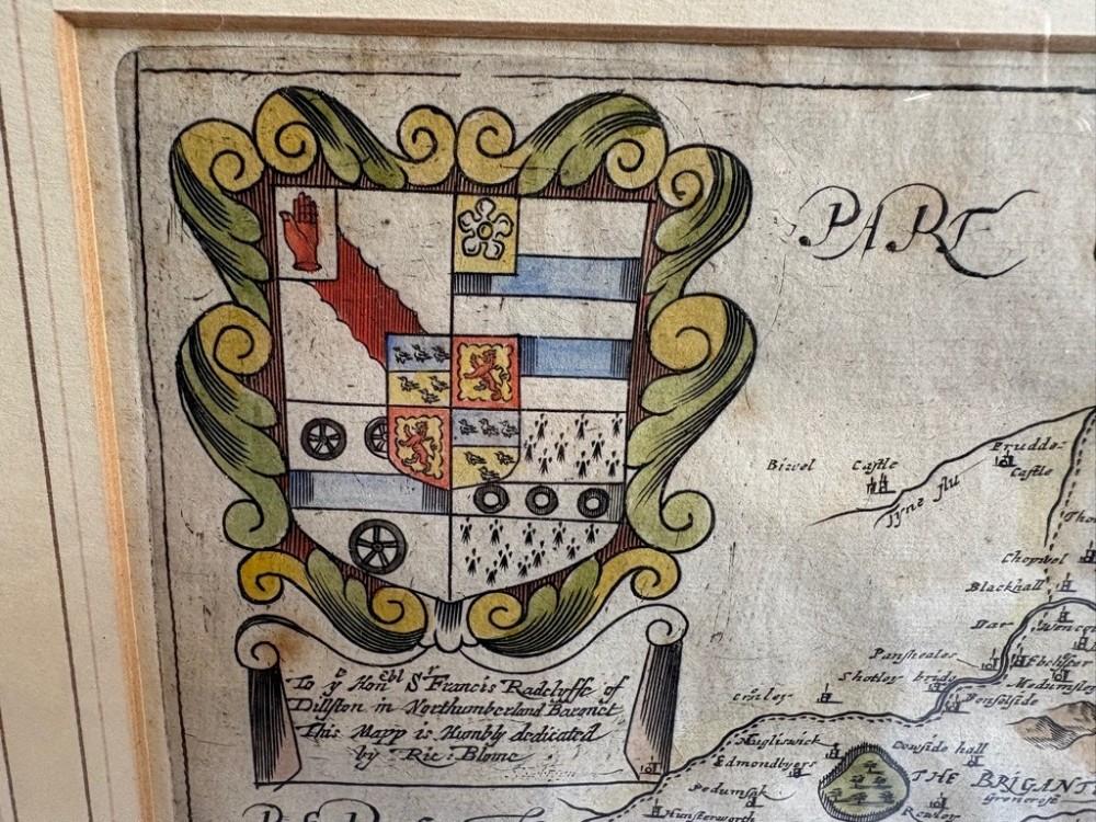
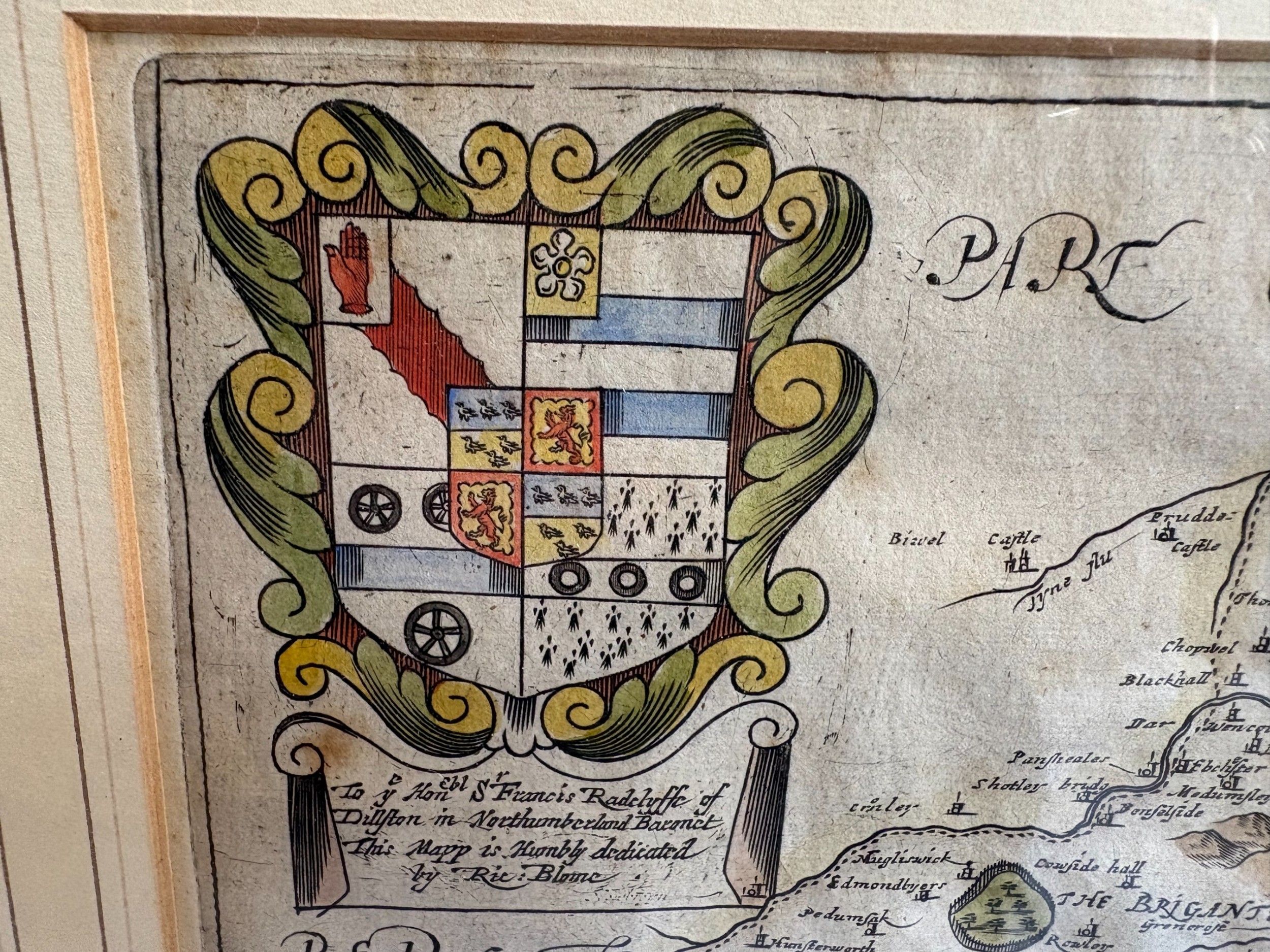
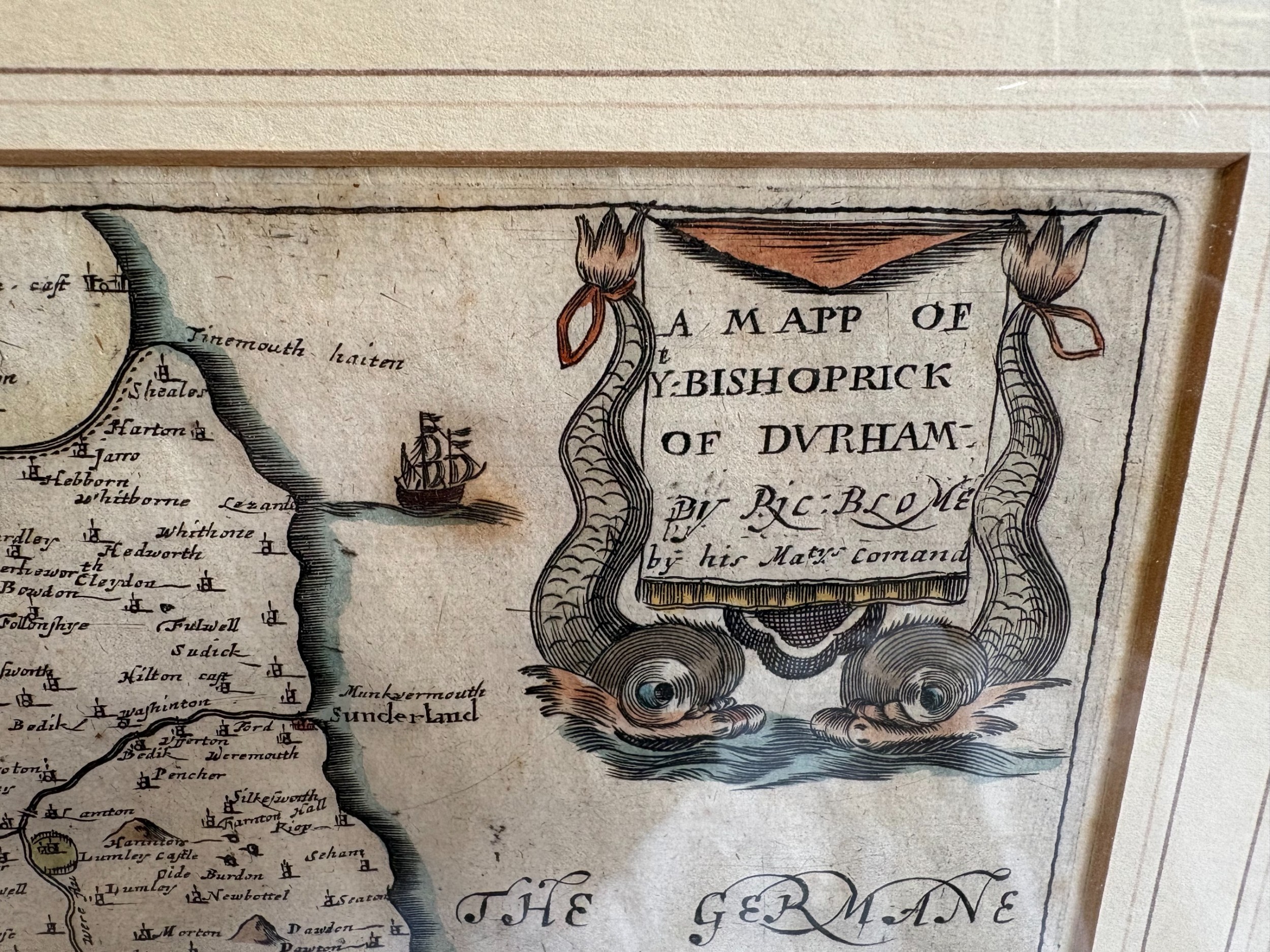
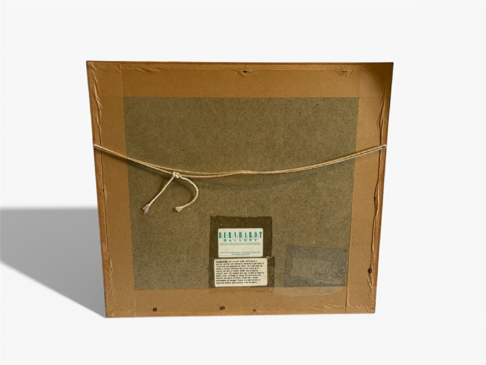
A framed 17th-century hand-coloured engraved map of County Durham by Richard Blome featuring a coat of arms and cartouche in a dark wood frame. SOLD6+ MONTHS AGO
1 / 13
Archive I A framed 17th-century hand-coloured engraved map of County Durham by Richard Blome featuring a coat of arms and cartouche in a dark wood frame. SOLD6+ MONTHS AGO

17th Century Map of County Durham by Richard Blome
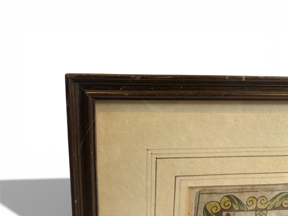
Archive II A framed 17th-century hand-coloured engraved map of County Durham by Richard Blome featuring a coat of arms and cartouche in a dark wood frame. View II
Archive III A framed 17th-century hand-coloured engraved map of County Durham by Richard Blome featuring a coat of arms and cartouche in a dark wood frame. View III
Archive IV A framed 17th-century hand-coloured engraved map of County Durham by Richard Blome featuring a coat of arms and cartouche in a dark wood frame. View IV
Archive V A framed 17th-century hand-coloured engraved map of County Durham by Richard Blome featuring a coat of arms and cartouche in a dark wood frame. View V
Archive VI A framed 17th-century hand-coloured engraved map of County Durham by Richard Blome featuring a coat of arms and cartouche in a dark wood frame. View VI
Archive VII A framed 17th-century hand-coloured engraved map of County Durham by Richard Blome featuring a coat of arms and cartouche in a dark wood frame. View VII
Archive VIII A framed 17th-century hand-coloured engraved map of County Durham by Richard Blome featuring a coat of arms and cartouche in a dark wood frame. View VIII
Archive IX A framed 17th-century hand-coloured engraved map of County Durham by Richard Blome featuring a coat of arms and cartouche in a dark wood frame. View IX
Archive X A framed 17th-century hand-coloured engraved map of County Durham by Richard Blome featuring a coat of arms and cartouche in a dark wood frame. View X
Archive XI A framed 17th-century hand-coloured engraved map of County Durham by Richard Blome featuring a coat of arms and cartouche in a dark wood frame. View XI
Archive XII A framed 17th-century hand-coloured engraved map of County Durham by Richard Blome featuring a coat of arms and cartouche in a dark wood frame. View XII
Archive XIII A framed 17th-century hand-coloured engraved map of County Durham by Richard Blome featuring a coat of arms and cartouche in a dark wood frame. View XIII
Enlarged Archival View
Location
25 The Bank
Barnard Castle
County Durham
DL12 8PH
United Kingdom
Dealer Profile Page sellingantiques.co.uk/tca
Verified Since Sep 2015
Items For Sale 92
Items Sold 33
The Collector Antiques
Verified Since Sep 2015
View Dealer Info
Location: 25 The Bank , Barnard Castle , County Durham , DL12 8PH, United Kingdom
Verified
Sep 2015
For Sale
92
Sold
33
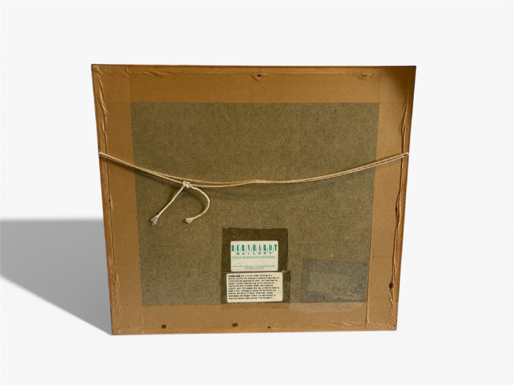
A framed 17th-century hand-coloured engraved map of County Durham by Richard Blome featuring a coat of arms and cartouche in a dark wood frame.
17th Century Map of County Durham by Richard Blome
Ref: SA1189936
A framed 17th-century hand-coloured engraved map of County Durham by Richard Blome featuring a coat of arms and cartouche in a dark wood frame.
Detail View 1
Detail View 2
Detail View 3
Detail View 4
Detail View 5
Detail View 6
Detail View 7
Detail View 8
Detail View 9
Detail View 10
Detail View 11
Detail View 12
Archival Detail
Every single antique dealer on our platform is individually approved by our internal team. We verify their professional trade history, ethical standards, and photographic quality to ensure a secure, high-standard buying environment. Upon joining, every dealer agrees to a strict 9-point code of conduct. While issues can occasionally arise, our dealers typically resolve them swiftly and directly with the buyer. In fact, since our founding in 2002, Sellingantiques has only had to step in to help resolve an issue on roughly five occasions—a true testament to the quality of our dealers and their dedication to your happiness.
Our dealers are highly experienced in packing and shipping fragile, high-value antiques. Because you are in direct contact with the dealer, you will be able to easily go through all available shipping and insurance options together to ensure your item arrives safely.
Antiques are the ultimate green purchase. By choosing historical pieces over newly manufactured goods, you completely eliminate the carbon footprint of modern mass production while preserving exceptional, timeless craftsmanship.
Written by Sellingantiques from the dealer’s photographs and listing
  • ObjectFramed Map
  • Period17th century
  • Style17th Century British
  • MaterialPaper, Wood, Glass
  • ColourWarm Cream
  • MotifsHeraldic coat of arms, Decorative cartouche, Compass rose, Hand colouring
  • SizeH 43 cm (17 in) x W 47 cm (19 in) x D 3 cm (1 in)

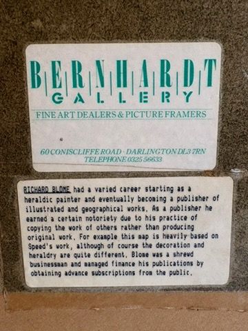
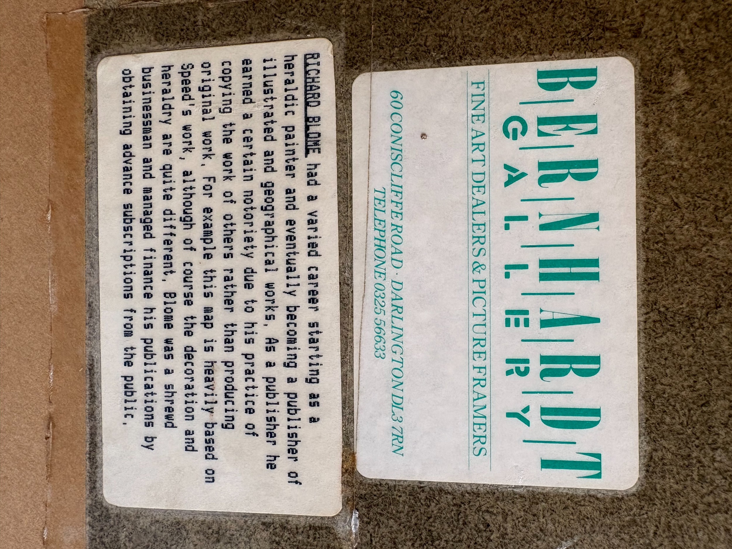
Richard Blome was a prominent English publisher and cartographer active during the late 17th century, known for producing regional county maps featured in publications such as Britannia (1673). These copperplate engravings documented English counties alongside coats of arms and topographical features.

Maps from this era were printed via copperplate engraving onto handmade laid paper. Fine line details were etched into a metal plate, inked, and impressed onto the paper, with watercolour washes subsequently applied by hand to highlight county boundaries, heraldry, and waterways.

Authentic maps from this period typically exhibit a central vertical fold line from atlas binding, visible chain lines and watermarks within the laid paper, indentation marks around the image border from the copper plate, and period-appropriate engraving typography.

An antique framed map serves as a focal point when placed above a desk, along a hallway, or incorporated into a gallery wall. Combining traditional cartography with contemporary lighting and minimalist furniture creates a balanced interior contrast.

Keep antique paper artwork away from direct sunlight to prevent fading of hand-applied watercolour pigments. Displaying the item behind UV-filtering glass with acid-free mounting boards prevents foxing, discoloration, and structural degradation over time.
items
Add keywords to the filter
Price
£100
£250000
Era
Movements
Material
Origin
Stock Location
Freshness
Online Payments
Categories