9,319  PAGES BROWSED TODAY PAGES TODAY • 17 ANTIQUES UPLOADED TODAYNEW ARRIVALS
GIFTS
17 ITEMS ADDED TODAY
Sort Order
Items Per Page
Antiques dealer?
Join as a Seller
Browse Categories
Sort order
Relevant Links
Items per page
ID #SA1163941
SOLD
Email Phone
Save
17th Century (1610) John Speed Map of the Isle of Man
Sold by William Rand Antiques
sold SA1163941
Sorry, but this item has been sold.
William Rand Antiques

William Rand Antiques

Sellingantiques Verified Since Dec 2013
Browse dealers 122 items
  • About Us
    The isle of man's premier antique shop
  • Trade Associations
    William Rand Antiques is a registered member of LAPADA 
Id #SA1163941
PDF SHARE
SAVE

17th Century (1610) John Speed Map of the Isle of Man

17th century
Sold 24 October 2025 · William Rand Antiques
This “17th Century (1610) John Speed Map of the Isle of Man” found a buyer.

It was listed by William Rand Antiques. Sold pieces stay on Sellingantiques as a record of what has passed through, and the next one is rarely far away.

Description

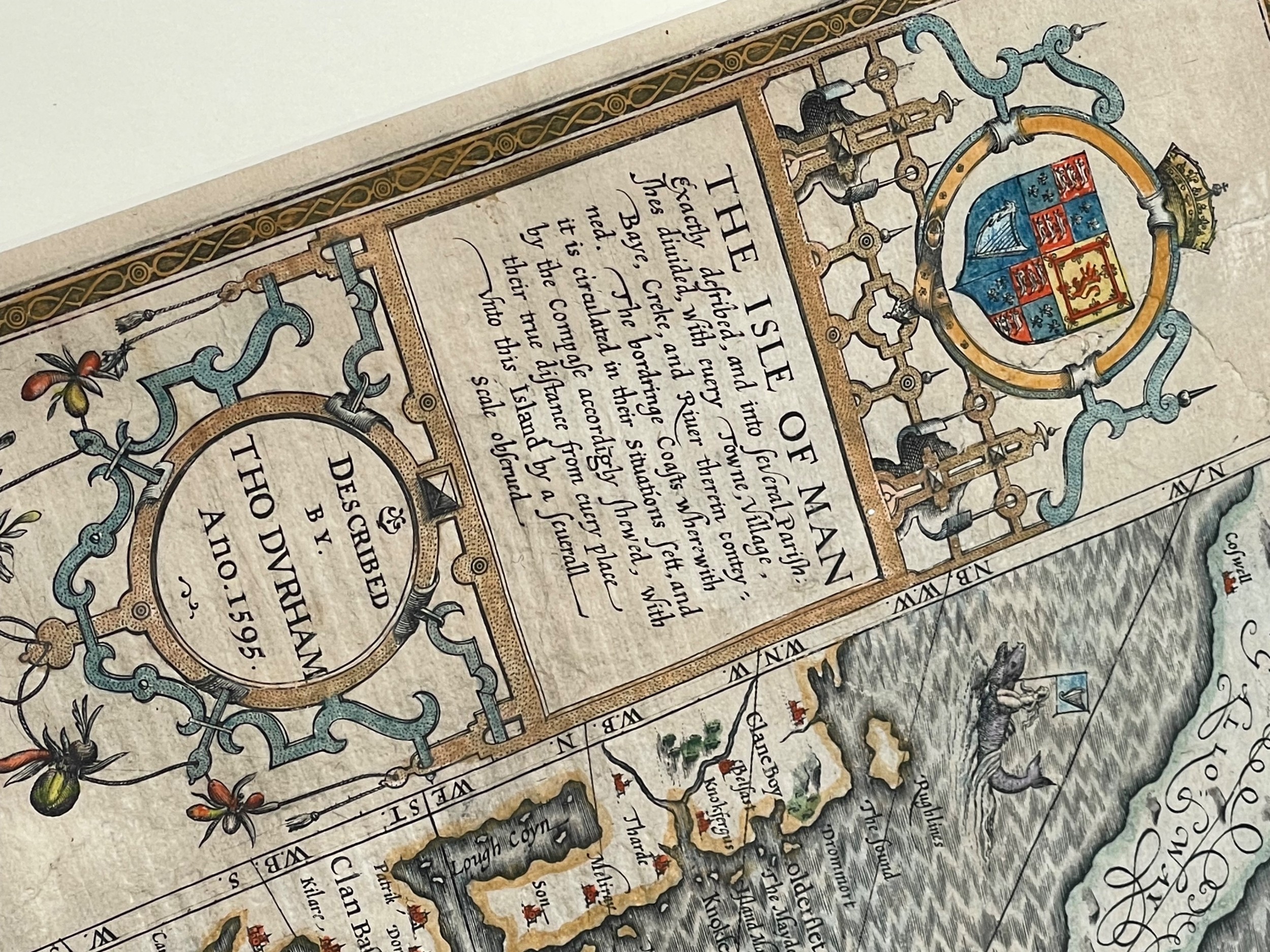
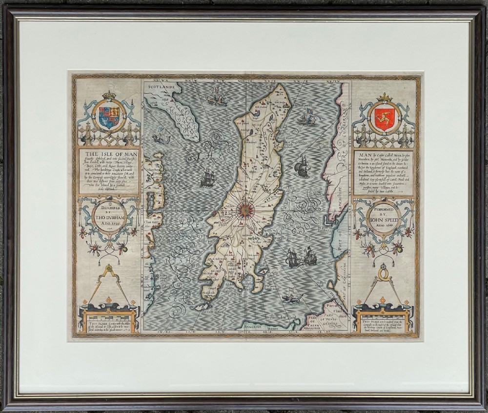
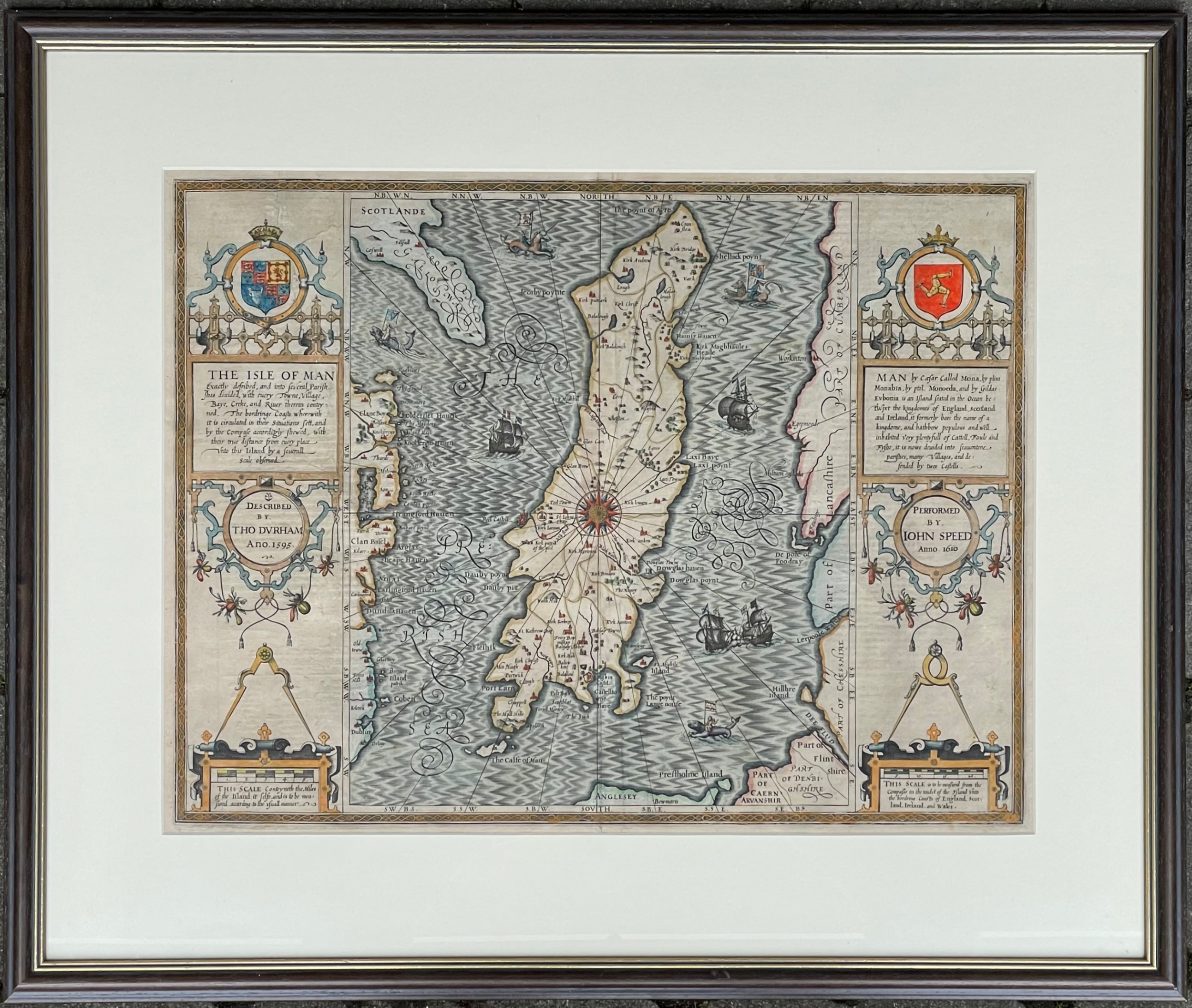
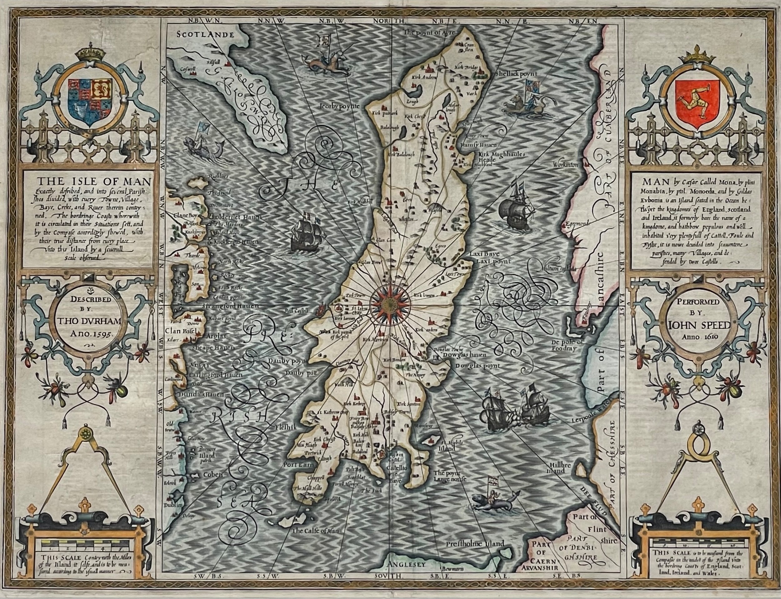
John Speed 1610 map of the Isle of Man, described by Thomas Durham, 1595.

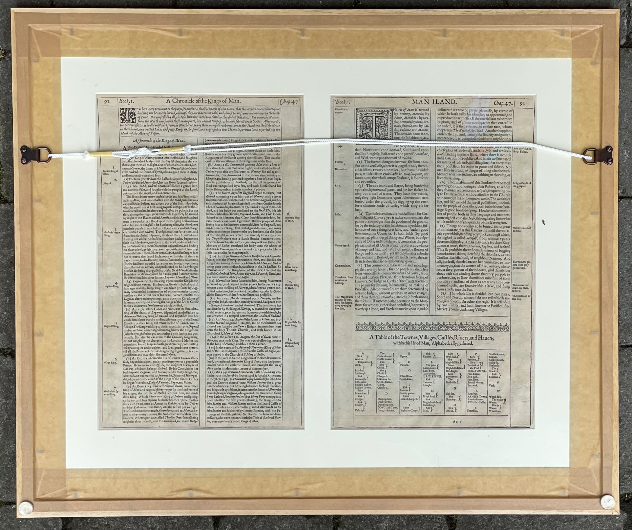
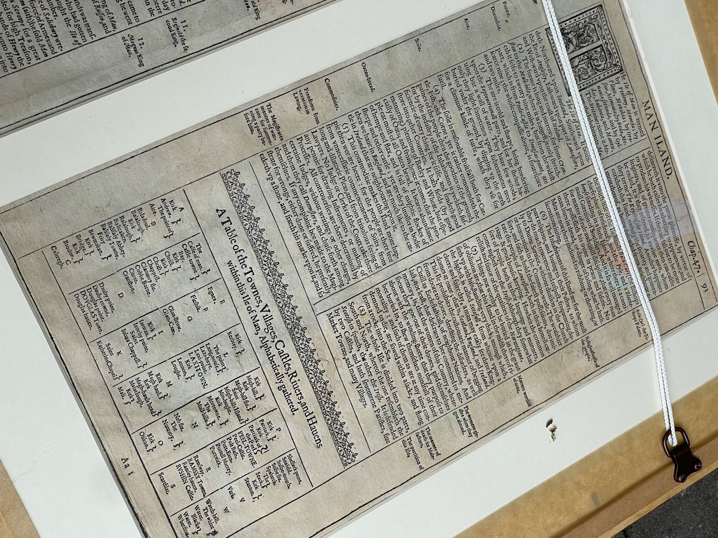
Copper-plate engraving with hand colouring. Framed, glazed front and rear. 385 x 510mm.

In excellent condition, commensurate wear with age. Well framed.

Date of Manufacture

William Rand Antiques has dated this Antique Cartographic Map to the 17th Century.

Physical Dimensions
Height
1cm (0.39")
Width
1cm (0.39")
Depth
1cm (0.39")
Reference Numbers
Sellingantiques Reference
SA1163941
Dealers Notes


UNLESS OTHERWISE STATED, FREE DELIVERY TO MAINLAND UK & ISLE OF MAN

DISTANCE SELLING REGULATIONS : All items purchased from William Rand Antiques are covered under the UK Distance Selling Regulations, which give all buyers the right to cancel the purchase within 7 working days after receipt of the item, for a full refund less RETURN transport costs.

For further information, please visit our website www.williamrandantiques.co.uk or like and follow us on Facebook and Instagram.

Description
John Speed 1610 map of the Isle of Man, described by Thomas Durham, 1595.

Copper-plate engraving with hand colouring. Framed, glazed front and rear. 385 x 510mm.

In excellent condition, commensurate wear with age. Well framed.

Date of Manufacture

William Rand Antiques has dated this Antique Cartographic Map to the 17th Century.

Height
1cm (0.39")
Width
1cm (0.39")
Depth
1cm (0.39")
Reference Numbers
Sellingantiques Ref
SA1163941
William Rand Antiques
Sellingantiques verified Since Dec 2013

The isle of man's premier antique shop

Dealer Profile

You can view the stock and full dealer information on the William Rand Antiques Profile Page

Trade Associations

William Rand Antiques is a registered member of LAPADA 
PDF SHARE
SAVE
A framed antique map featuring intricate hand-coloured cartography, decorative text panels, and maritime illustrations. SOLD6+ MONTHS AGO
1 / 6
Archive I A framed antique map featuring intricate hand-coloured cartography, decorative text panels, and maritime illustrations. SOLD6+ MONTHS AGO

17th Century (1610) John Speed Map of the Isle of Man
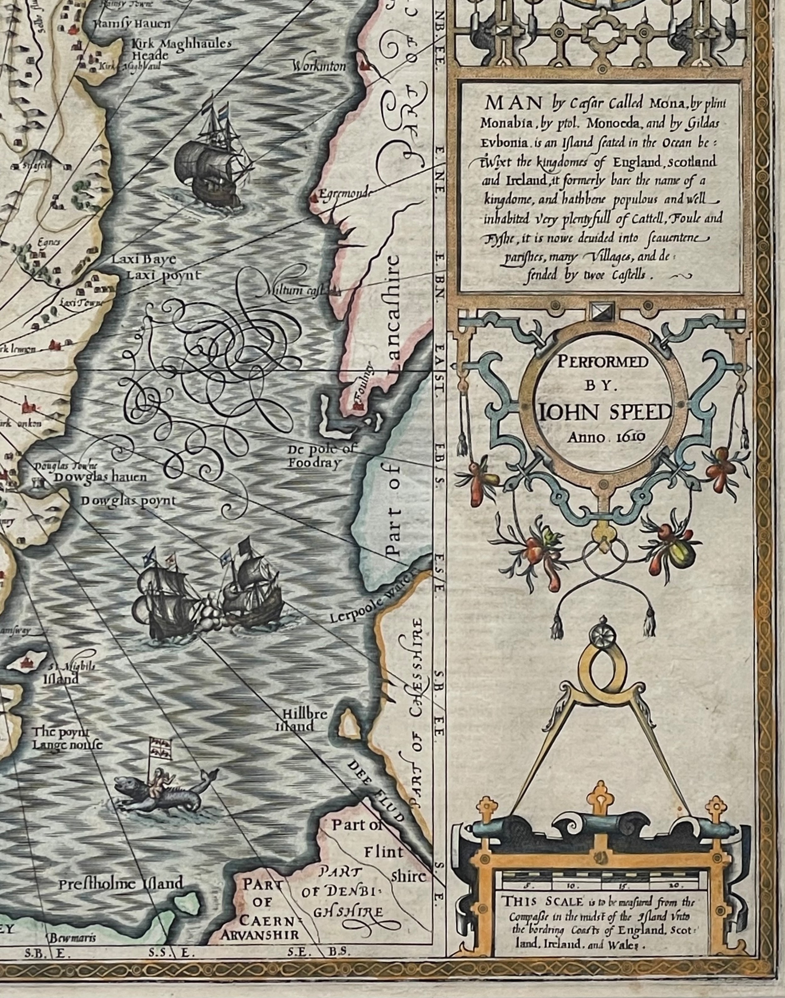
Archive II A framed antique map featuring intricate hand-coloured cartography, decorative text panels, and maritime illustrations. View II
Archive III A framed antique map featuring intricate hand-coloured cartography, decorative text panels, and maritime illustrations. View III
Archive IV A framed antique map featuring intricate hand-coloured cartography, decorative text panels, and maritime illustrations. View IV
Archive V A framed antique map featuring intricate hand-coloured cartography, decorative text panels, and maritime illustrations. View V
Archive VI A framed antique map featuring intricate hand-coloured cartography, decorative text panels, and maritime illustrations. View VI
Enlarged Archival View
Telephone 07624 207843
Location
The Courtyard
3 Water Street
Ramsey
Isle of Man
IM8 1JP
United Kingdom
Verified Since Dec 2013
Items For Sale 122
Items Sold 3,791
William Rand Antiques
Verified Since Dec 2013
View Dealer Info
Location: The Courtyard, 3 Water Street, Ramsey, Isle of Man, IM8 1JP, United Kingdom
Verified
Dec 2013
For Sale
122
Sold
3,791
A framed antique map featuring intricate hand-coloured cartography, decorative text panels, and maritime illustrations.
17th Century (1610) John Speed Map of the Isle of Man
Ref: SA1163941
A framed antique map featuring intricate hand-coloured cartography, decorative text panels, and maritime illustrations.
Detail View 1
Detail View 2
Detail View 3
Detail View 4
Detail View 5
Archival Detail
Every single antique dealer on our platform is individually approved by our internal team. We verify their professional trade history, ethical standards, and photographic quality to ensure a secure, high-standard buying environment. Upon joining, every dealer agrees to a strict 9-point code of conduct. While issues can occasionally arise, our dealers typically resolve them swiftly and directly with the buyer. In fact, since our founding in 2002, Sellingantiques has only had to step in to help resolve an issue on roughly five occasions—a true testament to the quality of our dealers and their dedication to your happiness.
Our dealers are highly experienced in packing and shipping fragile, high-value antiques. Because you are in direct contact with the dealer, you will be able to easily go through all available shipping and insurance options together to ensure your item arrives safely.
Antiques are the ultimate green purchase. By choosing historical pieces over newly manufactured goods, you completely eliminate the carbon footprint of modern mass production while preserving exceptional, timeless craftsmanship.
Written by Sellingantiques from the dealer’s photographs and listing
  • ObjectWall Art
  • Period17th century
  • StyleVictorian & Gothic
  • MaterialPaper, Wood, Glass
  • ColourMulti-colour
  • MotifsDecorative cartouche, Heraldic crest, Compass rose, Engraved typography
  • SizeH 1 cm (0 in) x W 1 cm (0 in) x D 1 cm (0 in)

Seventeenth-century maps are characterised by intricate hand-coloured engravings, decorative cartouches, heraldic crests, and detailed illustrations of sea monsters or sailing ships, marking a golden age of British cartography.

Authentic maps from this period were typically produced using copperplate engraving on hand-laid rag paper, often with contemporaneous or later hand-colouring applied using watercolours.

Authentic pieces exhibit plate marks indented into the paper, distinct chain lines from laid paper when backlit, ageing characteristics such as oxidisation or foxing, and crisp ink lines free from modern dot-matrix or digital pixelation.

Pairing a historic map with a contemporary minimalist frame and mat board creates a striking focal point, allowing the intricate details to stand out against neutral or richly painted walls in a study, library, or hallway.

Protect antique maps from direct sunlight and high humidity by using UV-filtered conservation glass, acid-free backing materials, and maintaining stable indoor temperatures to prevent paper degradation and fading.
items
Add keywords to the filter
Price
£100
£250000
Era
Period
Style
Material
Origin
Stock Location
Recently Added
Online Payments
Categories