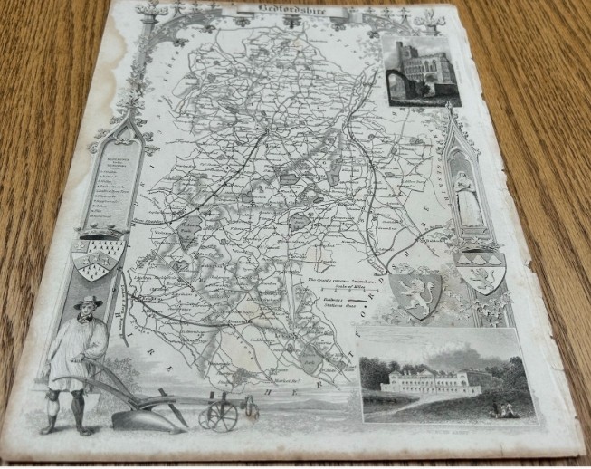
Strickland & Russell has dated this Thomas Moule Bedfordshire Map to the 1850s.
Title: Bedfordshire
Date of publication: Circa 1840.
Surface: Paper, engraved map.
Details: An original decorative county map of Bedfordshire by Thomas Moule.
Decorated with views of Dunstable Priory and Woburn Abbey, heraldic shields, architectural ornament and a rural figure with plough.
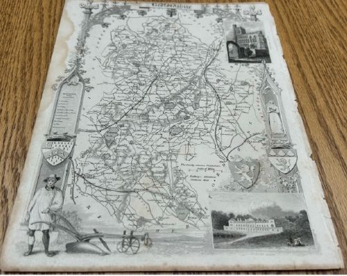
An attractive Victorian map for collectors of Bedfordshire history or for framing.
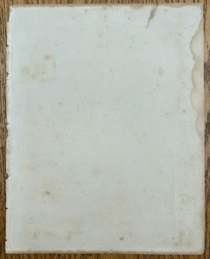
Condition Report: Fair antique condition. General age-related toning, foxing and staining, particularly around the outer edges and margins. Some edge wear, small tears and minor losses are present. Reverse shows further spotting, staining and handling marks. The map remains clear and highly decorative. Supplied unframed. Please inspect photographs for full details.
Size (approx): 28 x 22 cm
Strickland & Russell has dated this Thomas Moule Bedfordshire Map to the 1850s.
Yorkshire based art dealers specialising in 19th century & early 20th century oil paintings & watercolours
You can view the stock and full dealer information on the Strickland & Russell Profile Page
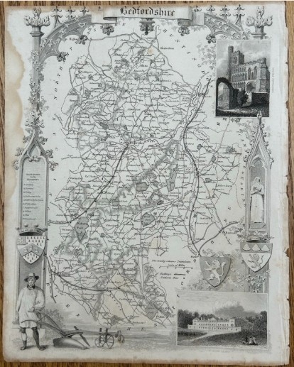
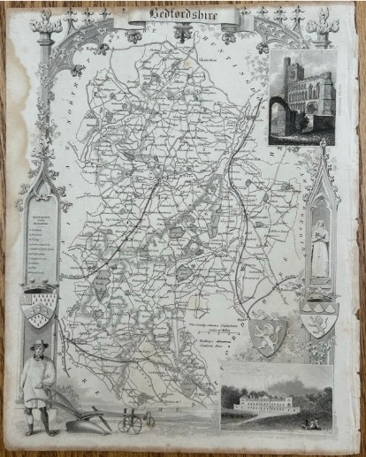
Antique C1840 Thomas Moule Bedfordshire Map Woburn Abbey Dunstable Priory 19th Century English County Map