32,934  PAGES BROWSED TODAY PAGES TODAY • 142 ANTIQUES UPLOADED TODAYNEW ARRIVALS
GIFTS
142 ITEMS ADDED TODAY
Sort Order
Items Per Page
Browse Categories
Sort order
Relevant Links
Items per page
ID #SA1055763
SOLD
Email Phone
Save
Abraham Ortelius (Flemish 1527-1598) a 16th Century Map of Tartaria, Published in Antwerp by Christophe Plantina, 1584
Sold by Jeckyll & Co
sold SA1055763
Sorry, but this item has been sold.

Jeckyll & Co

Sellingantiques Verified Since May 2022
Browse dealers 61 items
  • About Us
    Instagram: jeckyllandco
Id #SA1055763
PDF SHARE
SAVE

Abraham Ortelius (Flemish 1527-1598) a 16th Century Map of Tartaria, Published in Antwerp by Christophe Plantina, 1584

16th century
Sold 4 October 2024 · Jeckyll & Co
This “Abraham Ortelius (Flemish 1527-1598) a 16th Century Map of Tartaria, Published in Antwerp by Christophe Plantina, 1584” found a buyer.

It was listed by Jeckyll & Co. Sold pieces stay on Sellingantiques as a record of what has passed through, and the next one is rarely far away.

Description

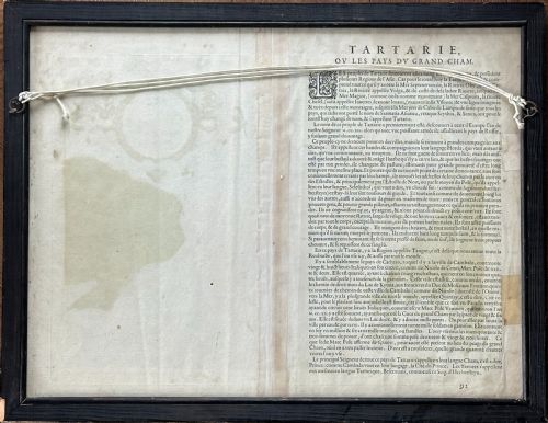
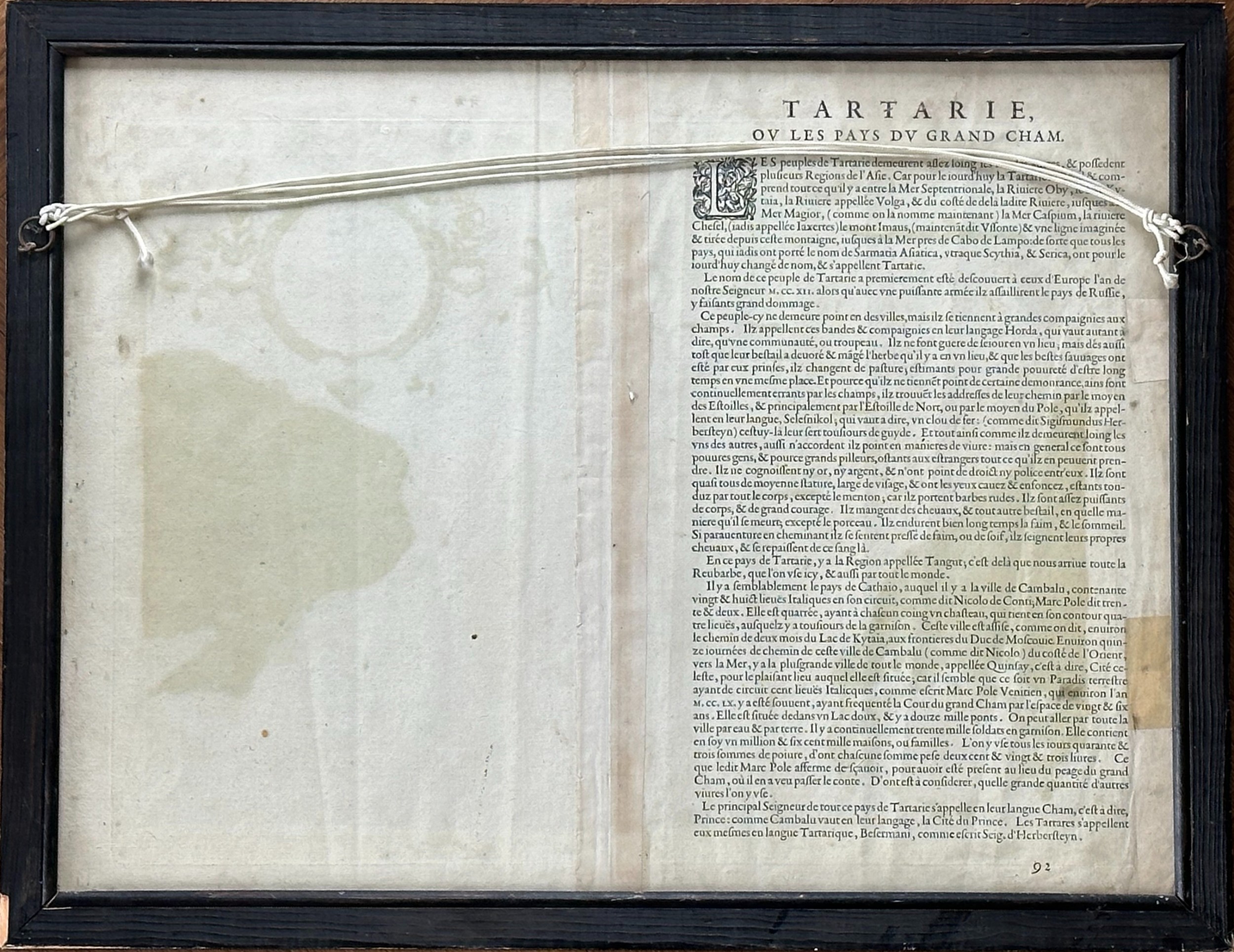
A lovely early map inscribed in Latin with with explanatory notes verso.

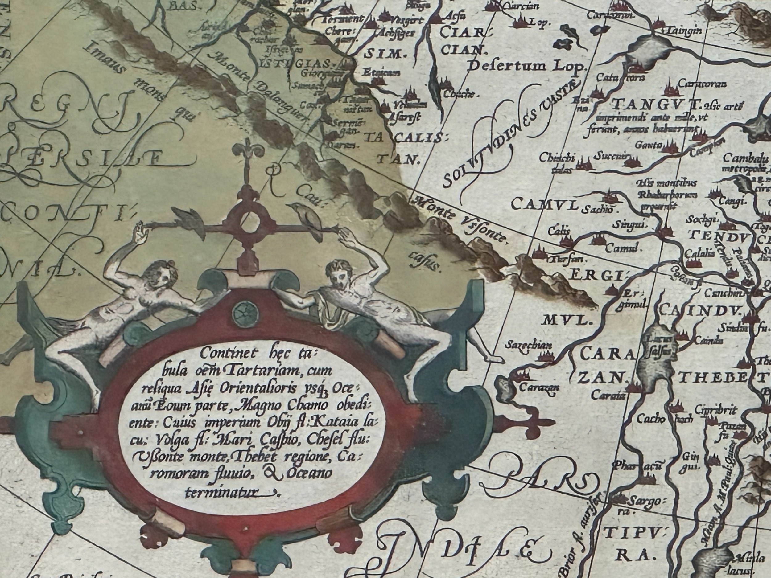
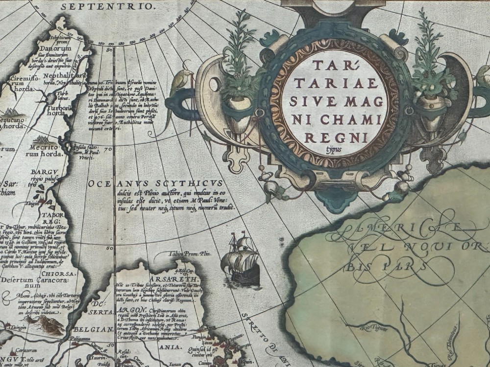
Entitled 'Tartariae Sive Magni Chami Regni Typus' is map 92 from the groundbreaking atlas 'Theatrum Orbis Terrarum'- Theatre of the World.

The map represents areas of modern Russia, Mongolia, northern China and Japan, with an early depiction of America to the east with a peninsula inscribed 'California'.

Engraved copper-plate with hand colouring

Formed in two sheets, mounted and glazed on both sides.

Follow us on Instagram: jeckyll_and_co

Date of Manufacture

Jeckyll & Co has dated this Antique Engraved Map to the 16th Century.
Physical Dimensions
Height
35cm (13.78")
Width
47cm (18.50")
Reference Numbers
Sellingantiques Reference
SA1055763
Description
A lovely early map inscribed in Latin with with explanatory notes verso.
“
Entitled 'Tartariae Sive Magni Chami Regni Typus' is map 92 from the groundbreaking atlas 'Theatrum Orbis Terrarum'- Theatre of the World.
Jeckyll & Co
fig 1. A close-up photograph of an antique hand-coloured engraved map showing topographical lines, ocean currents, and an ornate cartouche.
fig 1. Abraham Ortelius (Flemish 1527-1598) a 16th Century Map of Tartaria, Published in Antwerp by Christophe Plantina, 1584

The map represents areas of modern Russia, Mongolia, northern China and Japan, with an early depiction of America to the east with a peninsula inscribed 'California'.

Engraved copper-plate with hand colouring

Formed in two sheets, mounted and glazed on both sides.

Follow us on Instagram: jeckyll_and_co

Date of Manufacture

Jeckyll & Co has dated this Antique Engraved Map to the 16th Century.

Height
35cm (13.78")
Width
47cm (18.50")
Reference Numbers
Sellingantiques Ref
SA1055763
Jeckyll & Co
Sellingantiques verified Since May 2022

Instagram: jeckyllandco

Dealer Profile

You can view the stock and full dealer information on the Jeckyll & Co Profile Page
PDF SHARE
SAVE
A close-up photograph of an antique hand-coloured engraved map showing topographical lines, ocean currents, and an ornate cartouche. SOLD6+ MONTHS AGO
1 / 6
Archive I A close-up photograph of an antique hand-coloured engraved map showing topographical lines, ocean currents, and an ornate cartouche. SOLD6+ MONTHS AGO

Abraham Ortelius (Flemish 1527-1598) a 16th Century Map of Tartaria, Published in Antwerp by Christophe Plantina, 1584
Archive II A close-up photograph of an antique hand-coloured engraved map showing topographical lines, ocean currents, and an ornate cartouche. View II
Archive III A close-up photograph of an antique hand-coloured engraved map showing topographical lines, ocean currents, and an ornate cartouche. View III
Archive IV A close-up photograph of an antique hand-coloured engraved map showing topographical lines, ocean currents, and an ornate cartouche. View IV
Archive V A close-up photograph of an antique hand-coloured engraved map showing topographical lines, ocean currents, and an ornate cartouche. View V
Archive VI A close-up photograph of an antique hand-coloured engraved map showing topographical lines, ocean currents, and an ornate cartouche. View VI
Enlarged Archival View
Telephone 07735 072466
Location
Edinburgh
United Kingdom
Verified Since May 2022
Items For Sale 61
Items Sold 314
Jeckyll & Co
Verified Since May 2022
View Dealer Info
Location: Edinburgh, United Kingdom
Verified
May 2022
For Sale
61
Sold
314
A close-up photograph of an antique hand-coloured engraved map showing topographical lines, ocean currents, and an ornate cartouche.
Abraham Ortelius (Flemish 1527-1598) A 16th century map of Tartaria, published in Antwerp by Christophe Plantina, 1584
Ref: SA1055763
A close-up photograph of an antique hand-coloured engraved map showing topographical lines, ocean currents, and an ornate cartouche.
Detail View 1
Detail View 3
Detail View 4
Detail View 5
Detail View 6
Archival Detail
Every single antique dealer on our platform is individually approved by our internal team. We verify their professional trade history, ethical standards, and photographic quality to ensure a secure, high-standard buying environment. Upon joining, every dealer agrees to a strict 9-point code of conduct. While issues can occasionally arise, our dealers typically resolve them swiftly and directly with the buyer. In fact, since our founding in 2002, Sellingantiques has only had to step in to help resolve an issue on roughly five occasions—a true testament to the quality of our dealers and their dedication to your happiness.
Our dealers are highly experienced in packing and shipping fragile, high-value antiques. Because you are in direct contact with the dealer, you will be able to easily go through all available shipping and insurance options together to ensure your item arrives safely.
Antiques are the ultimate green purchase. By choosing historical pieces over newly manufactured goods, you completely eliminate the carbon footprint of modern mass production while preserving exceptional, timeless craftsmanship.
Written by Sellingantiques from the dealer’s photographs and listing
  • ObjectAntique Maps
  • Period16th century
  • StyleRenaissance Cartography
  • MaterialHand-coloured laid paper, ink
  • ColourMuted Multi-colour
  • MotifsOrnate cartouche, Hand-coloured details, Engraved grid lines, Sailing ship illustrations
  • SizeH 35 cm (14 in) x W 47 cm (19 in)

Sixteenth-century maps are characterised by hand-coloured copperplate engravings, ornate cartouches, mythical creatures, and early scientific projections developed during the Renaissance.

Authentic maps from this period were typically printed from hand-carved copper plates onto laid rag paper made from linen or hemp fibres, often featuring hand-applied watercolours.

Authenticity is assessed through examination of paper characteristics such as chain lines and watermark, plate marks indentation, ink oxidation under magnification, and the presence of genuine hand-colouring rather than modern dot-matrix printing.

An antique map is traditionally framed using conservation-grade UV-protective glass and neutral archival mountings, positioned within a study, library, or hallway to serve as a focal point.

Historic paper must be kept away from direct sunlight, high humidity, and extreme temperature fluctuations to prevent fading, foxing, and degradation of the fibres.
items
Add keywords to the filter
Price
£100
£250000
Era
Period
Style
Material
Origin
Stock Location
Recently Added
Online Payments
Categories