


It was listed by Deco Interiors. Sold pieces stay on Sellingantiques as a record of what has passed through, and the next one is rarely far away.
Deco Interiors has dated this piece to the 1860s.
Original map in fine hand colour of London in c1860.
Each colour represents a postal district, G.G Green is 'W'. Kensington Palace in the West going to Tower of London in the East. North to Regent Park Barracks, South to Saint James and Barclay's Brewery.
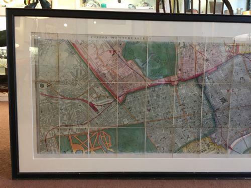
The map originally bisected into a foldong map, now presented unfolded and framed. Note Lord's Cricket Ground is smaller - part still being "Th Clergy Orphanage". Padding to workhouse depicted. Scale of "Miles" shown in furlongs, scale large to show where you work, where you live.
Windsor House can supply original maps for every English and Welsh county, and American state*
Deco Interiors has dated this piece to the 1860s.
Deco interiors, windsor house, moreton in marsh
You can view the stock and full dealer information on the Deco Interiors Profile Page
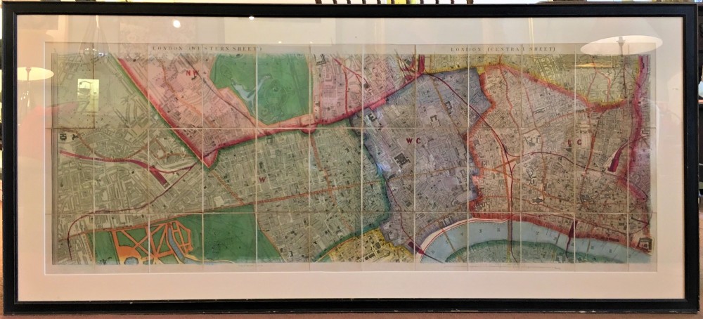

Antique Map of London, Original Map, Original Hand Colour 1860

