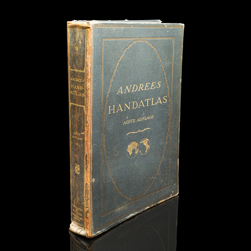
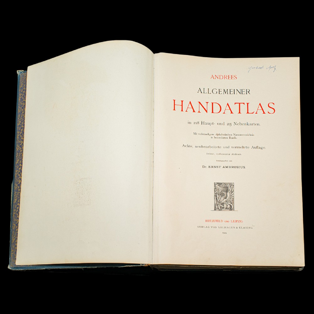
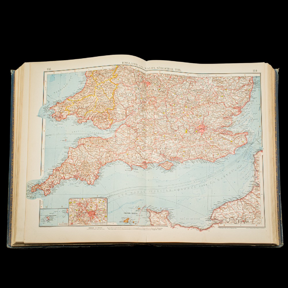
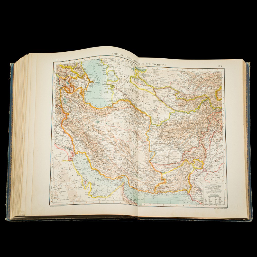
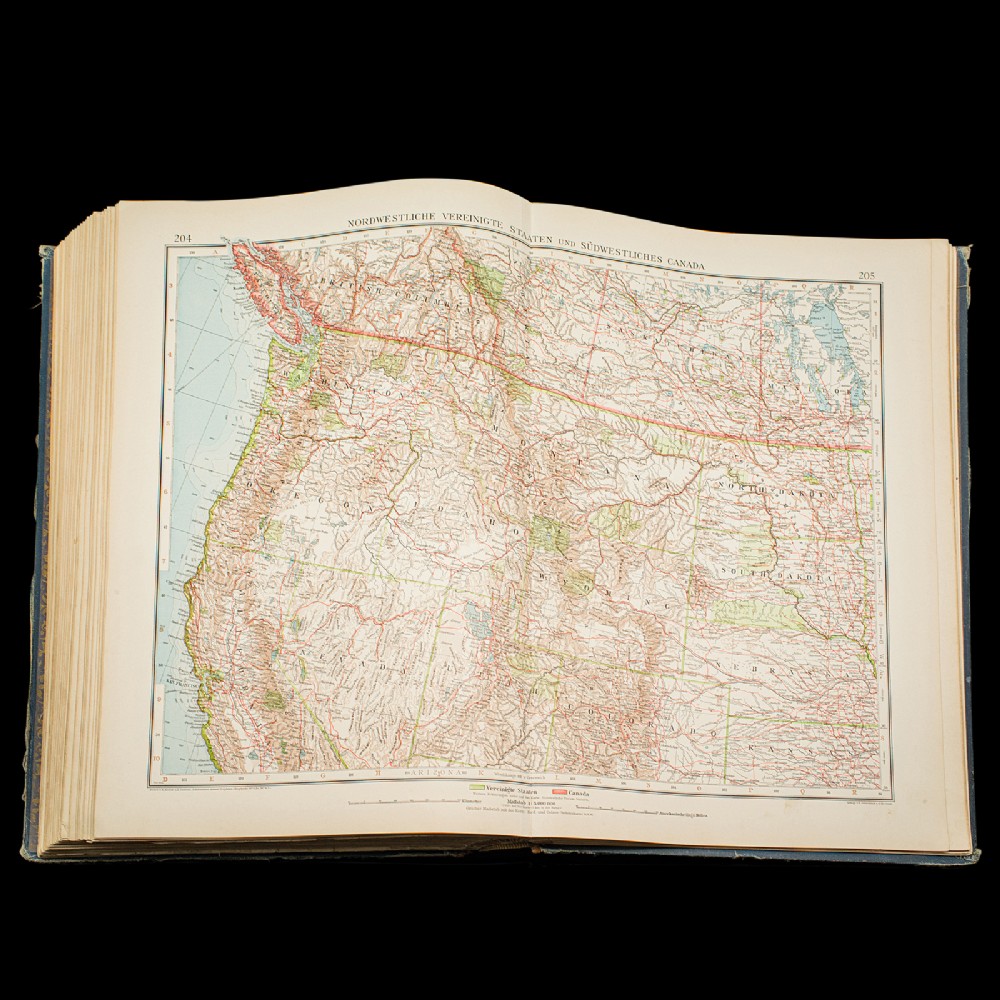
This is a large volume antique copy of Andrees'' Handatlas. A German, bound chromolithography atlas, dating to the early 20th century, this edition published in 1924.
Full title: Andrees Allgemeiner Handatlas in 228 Haupt - und 215 Nebenkarten mit vollständigem alphabetischen Namenverzeichnis in besonderem Bande.
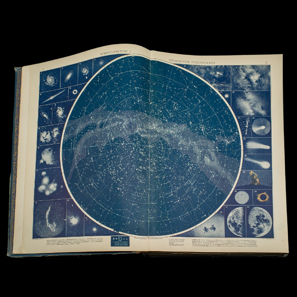
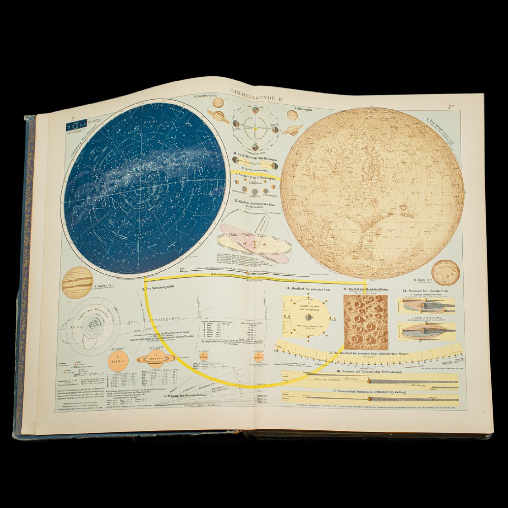
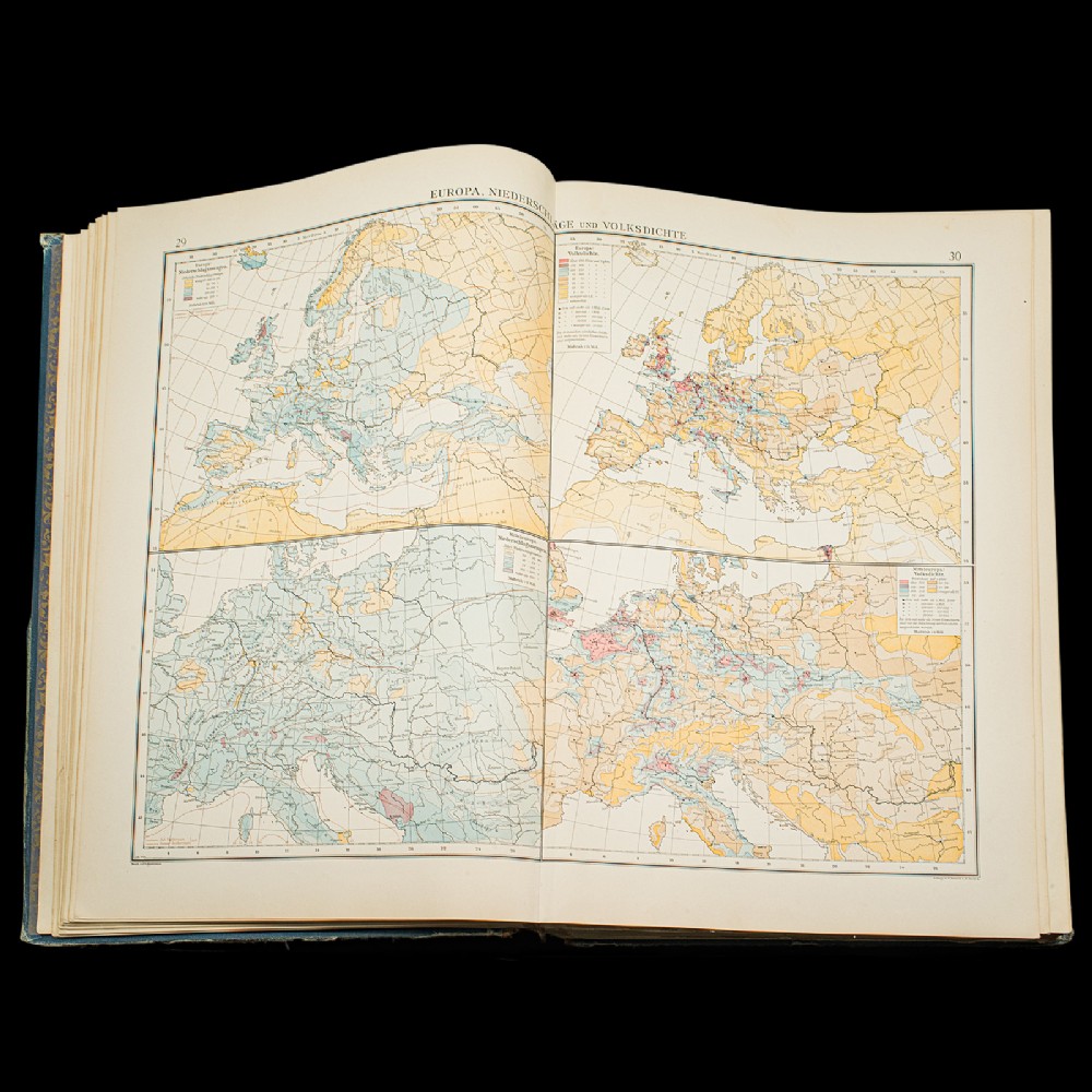
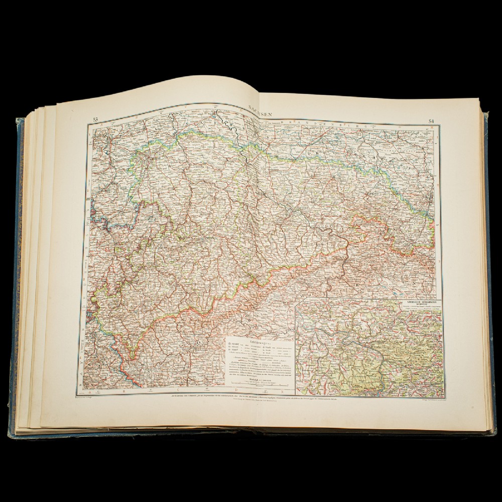
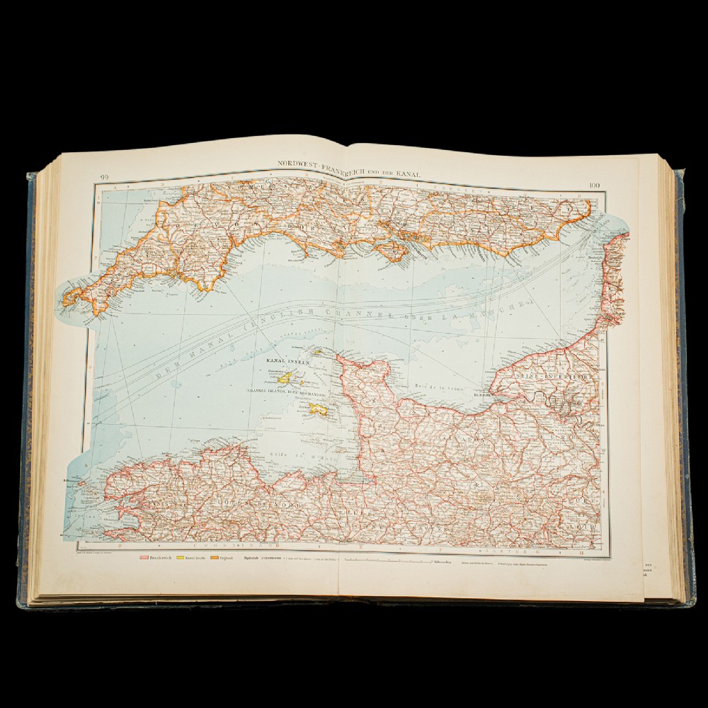
Superb cartographic detail to this comprehensive, fine bound atlas
Displays a desirable aged patina and in lightly time worn, intact order
Large proportion, making for ease of studying the full colour maps
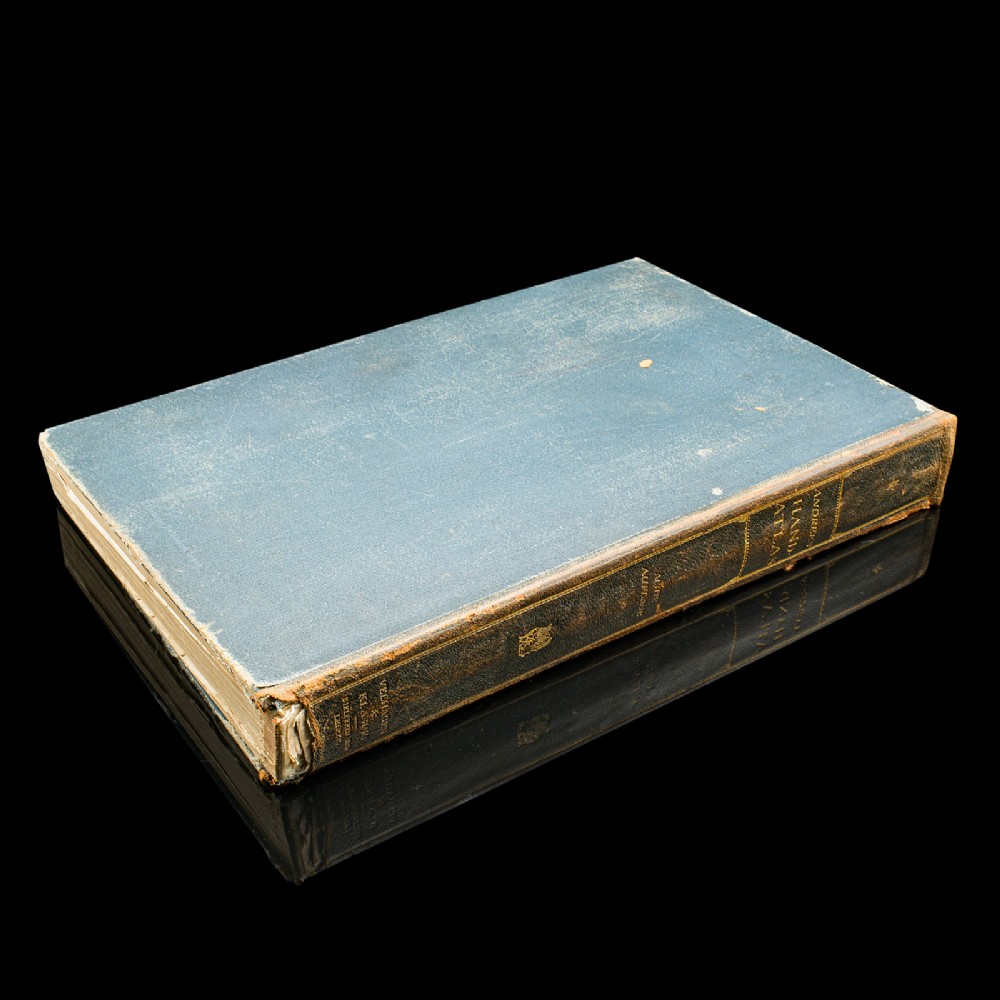
Bound in cloth on board with gold titling to cover and spine
Presented in German across 228 main maps and 215 excerpts
This is a fascinating large volume antique copy of Andrees'' Handatlas, with delightful early 20th century cartographic detail, in full colour and with comprehensive coverage of the Earth in period. Delivered ready to enjoy.
Dimensions:
Max Width: 30.5cm (12'''')
Max Depth: 6.5cm (2.5'''')
Max Height: 45cm (17.75'''')
What
... our clients have to say: https://www.londonfine.co.uk/pages/reviewsInternal Reference: 25252
Antique ID Number (AIDN): SA1132479
Dateline of this antique is 1920
Height is 45cm (17.7inches)Width is 30.5cm (12.0inches)Depth is 6.5cm (2.6inches)





Thank you.
Your comment has been sent to Sellingantiques.